Wildfire Alert Report
| Date: | 2024-01-11 |
|---|---|
| Time: | 21:41:17 |
| Production Date and Time: | 2024-01-11 21:45:58 UTC |
| Primary Instrument: | GOES-16 ABI |
| Wmo Spacecraft Id: | 152 |
| Location/orbit: | GEO |
| L1 File: | OR_ABI-L1b-RadC-M6C14_G16_s20240112141171_e20240112143544_c20240112144025.nc |
| L1 File(s) - Temporal | OR_ABI-L1b-RadC-M6C14_G16_s20240112136171_e20240112138544_c20240112139026.nc |
| Number Of Thermal Anomaly Alerts: | 2 |
Possible Wildfire
| Basic Information | |
|---|---|
| State/Province(s) | WY |
| Country/Countries | USA |
| County/Locality(s) | Crook County, WY |
| NWS WFO | Rapid City SD |
| Identification Method | Enhanced Contextual (Clear) |
| Mean Object Date/Time | 2024-01-11 21:41:20UTC |
| Radiative Center (Lat, Lon): | 44.280000°, -104.060000° |
| Nearby Counties (meeting alert criteria): |
|
| Total Radiative Power Anomaly | n/a |
| Total Radiative Power | 28.52 MW |
| Map: | |
| Additional Information | |
| Alert Status | New Feature |
| Type of Event | Nominal Risk |
| Event Priority Ranking | 4 |
| Maximum Observed BT (3.9 um) | 281.33 K |
| Observed - Background BT (3.9 um) | 19.38 K |
| BT Anomaly (3.9 um) | 3.33 K |
| Maximum Observed - Clear RTM BT (3.9 um) | 24.84 K |
| Maximum Observed BTD (3.9-10/11/12 um) | 24.36 K |
| Observed - Background BTD (3.9-10/11/12 um) | 19.23 K |
| BTD Anomaly (3.9-10/11/12 um) | 3.32 K |
| Similar Pixel Count | 1 |
| BT Time Tendency (3.9 um) | 0.90 K |
| Image Interval | 5.00 minutes |
| Fraction of Surrounding LWIR Pixels that are Colder | 0.57 |
| Fraction of Surrounding Red Channel Pixels that are Brighter | 0.63 |
| Maximum Radiative Power | 28.52 MW |
| Maximum Radiative Power Uncertainty | 0.00 MW |
| Total Radiative Power Uncertainty | 0.00 MW |
| Mean Viewing Angle | 58.90° |
| Mean Solar Zenith Angle | 75.20° |
| Mean Glint Angle | 94.00° |
| Water Fraction | 0.00 |
| Total Pixel Area | 10.20 km2 |
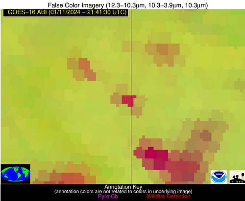
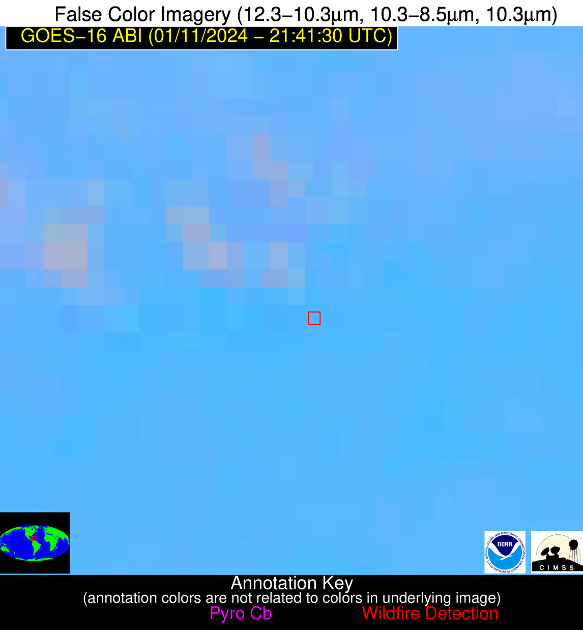
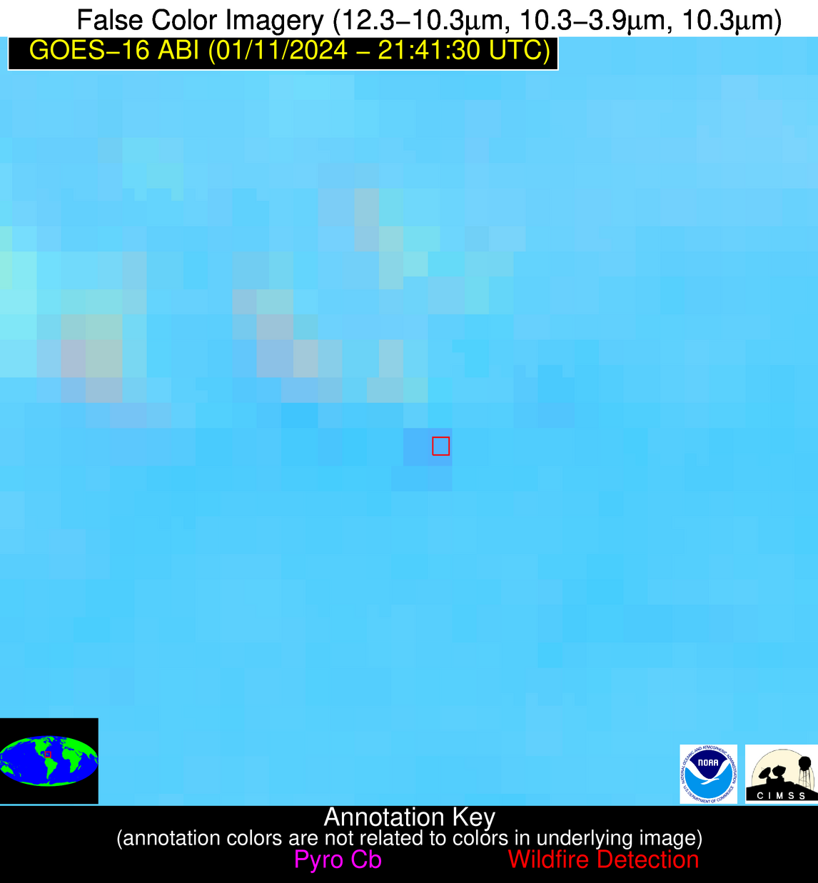
| Latest Satellite Imagery: | |
| View all event imagery » | |
Possible Wildfire
| Basic Information | |
|---|---|
| State/Province(s) | Unknown |
| Country/Countries | Dominican Republic |
| County/Locality(s) | Dominican Republic |
| NWS WFO | N/A |
| Identification Method | Enhanced Contextual (Clear) |
| Mean Object Date/Time | 2024-01-11 21:43:53UTC |
| Radiative Center (Lat, Lon): | 18.720000°, -69.350000° |
| Nearby Counties (meeting alert criteria): |
|
| Total Radiative Power Anomaly | n/a |
| Total Radiative Power | 15.75 MW |
| Map: | |
| Additional Information | |
| Alert Status | New Feature |
| Type of Event | Nominal Risk |
| Event Priority Ranking | 4 |
| Maximum Observed BT (3.9 um) | 301.73 K |
| Observed - Background BT (3.9 um) | 4.46 K |
| BT Anomaly (3.9 um) | 4.85 K |
| Maximum Observed - Clear RTM BT (3.9 um) | 6.15 K |
| Maximum Observed BTD (3.9-10/11/12 um) | 8.36 K |
| Observed - Background BTD (3.9-10/11/12 um) | 3.94 K |
| BTD Anomaly (3.9-10/11/12 um) | 8.33 K |
| Similar Pixel Count | 4 |
| BT Time Tendency (3.9 um) | 2.40 K |
| Image Interval | 5.00 minutes |
| Fraction of Surrounding LWIR Pixels that are Colder | 0.83 |
| Fraction of Surrounding Red Channel Pixels that are Brighter | 1.00 |
| Maximum Radiative Power | 15.75 MW |
| Maximum Radiative Power Uncertainty | 0.00 MW |
| Total Radiative Power Uncertainty | 0.00 MW |
| Mean Viewing Angle | 23.10° |
| Mean Solar Zenith Angle | 82.90° |
| Mean Glint Angle | 98.90° |
| Water Fraction | 0.00 |
| Total Pixel Area | 9.00 km2 |
| Latest Satellite Imagery: | |
| View all event imagery » | |


