Wildfire Alert Report
| Date: | 2024-01-11 |
|---|---|
| Time: | 17:21:17 |
| Production Date and Time: | 2024-01-11 17:26:03 UTC |
| Primary Instrument: | GOES-16 ABI |
| Wmo Spacecraft Id: | 152 |
| Location/orbit: | GEO |
| L1 File: | OR_ABI-L1b-RadC-M6C14_G16_s20240111721171_e20240111723544_c20240111724023.nc |
| L1 File(s) - Temporal | OR_ABI-L1b-RadC-M6C14_G16_s20240111716171_e20240111718544_c20240111719014.nc |
| Number Of Thermal Anomaly Alerts: | 3 |
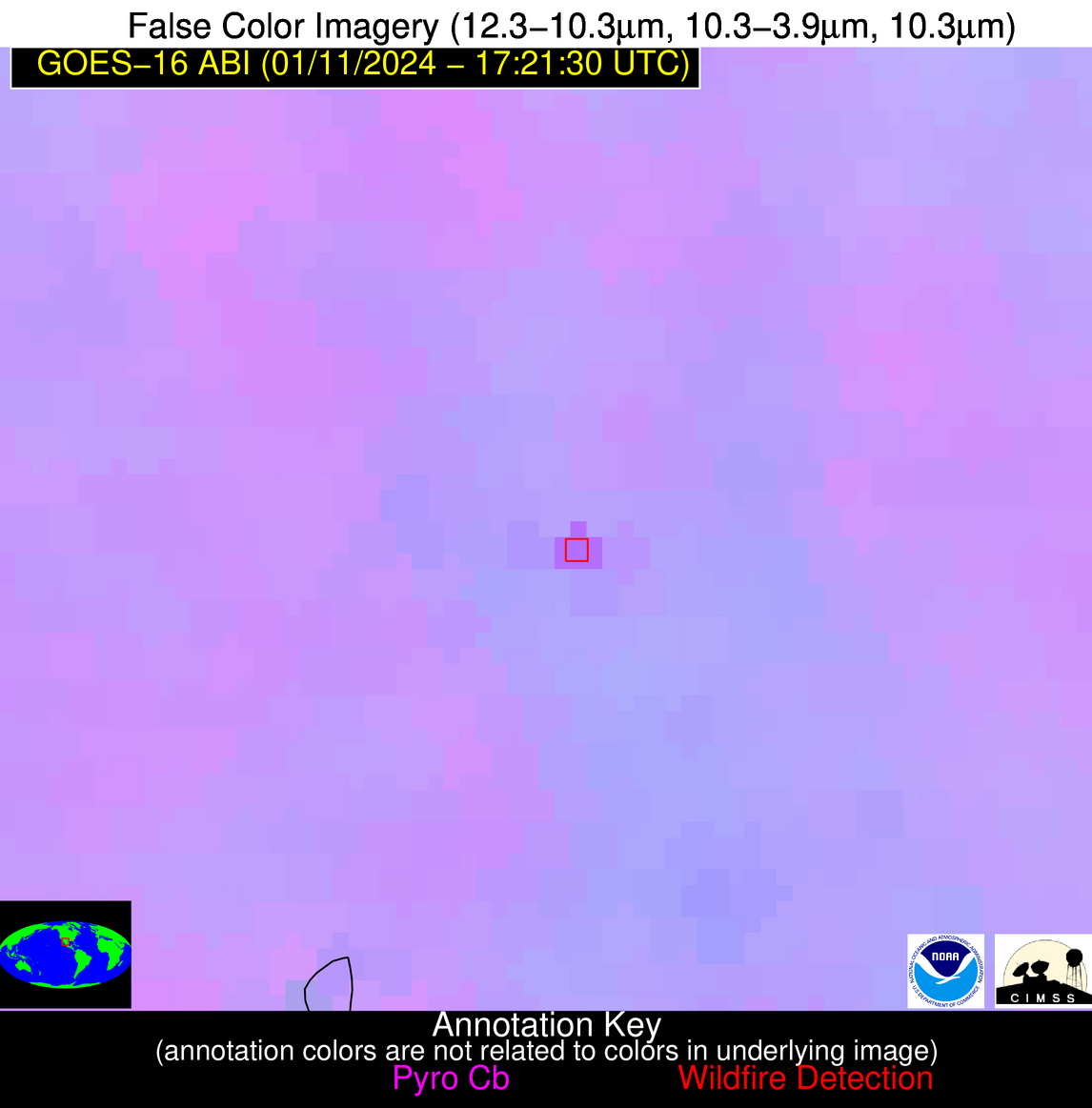
Possible Wildfire
| Basic Information | |
|---|---|
| State/Province(s) | AL |
| Country/Countries | USA |
| County/Locality(s) | Colbert County, AL |
| NWS WFO | Huntsville AL |
| Identification Method | Enhanced Contextual (Clear) |
| Mean Object Date/Time | 2024-01-11 17:22:21UTC |
| Radiative Center (Lat, Lon): | 34.670°, -87.950° |
| Nearby Counties (meeting alert criteria): |
|
| Total Radiative Power Anomaly | n/a |
| Total Radiative Power | 4.92 MW |
| Map: | |
| Additional Information | |
| Alert Status | New Feature |
| Type of Event | Nominal Risk |
| Event Priority Ranking | 4 |
| Maximum Observed BT (3.9 um) | 293.69 K |
| Observed - Background BT (3.9 um) | 2.33 K |
| BT Anomaly (3.9 um) | 1.62 K |
| Maximum Observed - Clear RTM BT (3.9 um) | 10.30 K |
| Maximum Observed BTD (3.9-10/11/12 um) | 8.39 K |
| Observed - Background BTD (3.9-10/11/12 um) | 2.22 K |
| BTD Anomaly (3.9-10/11/12 um) | 3.29 K |
| Similar Pixel Count | 22 |
| BT Time Tendency (3.9 um) | 2.50 K |
| Image Interval | 5.00 minutes |
| Fraction of Surrounding LWIR Pixels that are Colder | 0.60 |
| Fraction of Surrounding Red Channel Pixels that are Brighter | 1.00 |
| Maximum Radiative Power | 4.92 MW |
| Maximum Radiative Power Uncertainty | 0.00 MW |
| Total Radiative Power Uncertainty | 0.00 MW |
| Mean Viewing Angle | 42.70° |
| Mean Solar Zenith Angle | 57.10° |
| Mean Glint Angle | 99.20° |
| Water Fraction | 0.00 |
| Total Pixel Area | 6.00 km2 |
| Latest Satellite Imagery: | |
| View all event imagery » | |
Possible Wildfire
| Basic Information | |
|---|---|
| State/Province(s) | Unknown |
| Country/Countries | Mexico |
| County/Locality(s) | Mexico |
| NWS WFO | N/A |
| Identification Method | Enhanced Contextual (Clear) |
| Mean Object Date/Time | 2024-01-11 17:22:49UTC |
| Radiative Center (Lat, Lon): | 28.370°, -105.540° |
| Nearby Counties (meeting alert criteria): |
|
| Total Radiative Power Anomaly | n/a |
| Total Radiative Power | 25.38 MW |
| Map: | |
| Additional Information | |
| Alert Status | New Feature |
| Type of Event | Nominal Risk |
| Event Priority Ranking | 4 |
| Maximum Observed BT (3.9 um) | 310.06 K |
| Observed - Background BT (3.9 um) | 6.65 K |
| BT Anomaly (3.9 um) | 4.04 K |
| Maximum Observed - Clear RTM BT (3.9 um) | 15.09 K |
| Maximum Observed BTD (3.9-10/11/12 um) | 15.50 K |
| Observed - Background BTD (3.9-10/11/12 um) | 6.60 K |
| BTD Anomaly (3.9-10/11/12 um) | 8.92 K |
| Similar Pixel Count | 1 |
| BT Time Tendency (3.9 um) | 7.90 K |
| Image Interval | 5.00 minutes |
| Fraction of Surrounding LWIR Pixels that are Colder | 0.52 |
| Fraction of Surrounding Red Channel Pixels that are Brighter | 0.99 |
| Maximum Radiative Power | 25.38 MW |
| Maximum Radiative Power Uncertainty | 0.00 MW |
| Total Radiative Power Uncertainty | 0.00 MW |
| Mean Viewing Angle | 47.20° |
| Mean Solar Zenith Angle | 56.50° |
| Mean Glint Angle | 101.40° |
| Water Fraction | 0.00 |
| Total Pixel Area | 7.00 km2 |
| Latest Satellite Imagery: | |
| View all event imagery » | |
Possible Wildfire
| Basic Information | |
|---|---|
| State/Province(s) | TX |
| Country/Countries | USA |
| County/Locality(s) | Cameron County, TX |
| NWS WFO | Brownsville TX |
| Identification Method | Enhanced Contextual (Cloud) |
| Mean Object Date/Time | 2024-01-11 17:22:50UTC |
| Radiative Center (Lat, Lon): | 26.140°, -97.310° |
| Nearby Counties (meeting alert criteria): |
|
| Total Radiative Power Anomaly | n/a |
| Total Radiative Power | 314.55 MW |
| Map: | |
| Additional Information | |
| Alert Status | New Feature |
| Type of Event | Nominal Risk |
| Event Priority Ranking | 4 |
| Maximum Observed BT (3.9 um) | 323.19 K |
| Observed - Background BT (3.9 um) | 23.34 K |
| BT Anomaly (3.9 um) | 5.66 K |
| Maximum Observed - Clear RTM BT (3.9 um) | 25.83 K |
| Maximum Observed BTD (3.9-10/11/12 um) | 37.99 K |
| Observed - Background BTD (3.9-10/11/12 um) | 23.16 K |
| BTD Anomaly (3.9-10/11/12 um) | 5.77 K |
| Similar Pixel Count | 0 |
| BT Time Tendency (3.9 um) | 14.60 K |
| Image Interval | 5.00 minutes |
| Fraction of Surrounding LWIR Pixels that are Colder | 0.77 |
| Fraction of Surrounding Red Channel Pixels that are Brighter | 0.80 |
| Maximum Radiative Power | 202.22 MW |
| Maximum Radiative Power Uncertainty | 0.00 MW |
| Total Radiative Power Uncertainty | 0.00 MW |
| Mean Viewing Angle | 39.40° |
| Mean Solar Zenith Angle | 51.20° |
| Mean Glint Angle | 88.90° |
| Water Fraction | 0.00 |
| Total Pixel Area | 11.50 km2 |
| Latest Satellite Imagery: | |
| View all event imagery » | |


