Wildfire Alert Report
| Date: | 2024-01-10 |
|---|---|
| Time: | 18:56:17 |
| Production Date and Time: | 2024-01-10 19:01:07 UTC |
| Primary Instrument: | GOES-18 ABI |
| Wmo Spacecraft Id: | 665 |
| Location/orbit: | GEO |
| L1 File: | OR_ABI-L1b-RadC-M6C14_G18_s20240101856173_e20240101858546_c20240101859043.nc |
| L1 File(s) - Temporal | OR_ABI-L1b-RadC-M6C14_G18_s20240101851173_e20240101853546_c20240101854020.nc |
| Number Of Thermal Anomaly Alerts: | 3 |
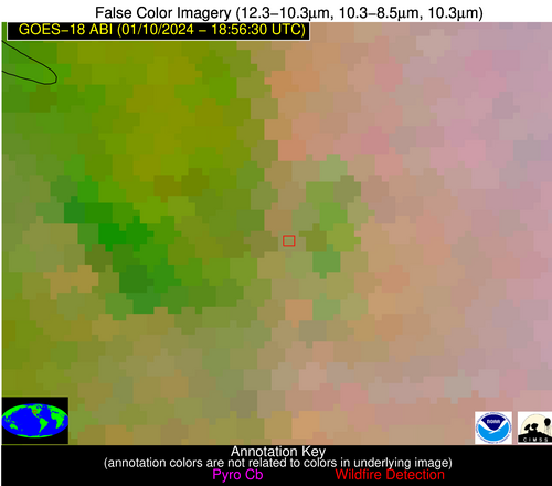
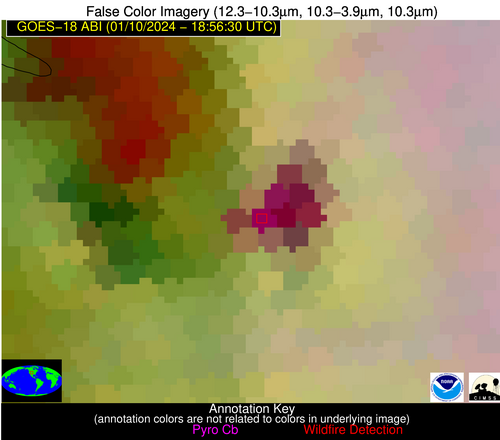
Possible Wildfire
| Basic Information | |
|---|---|
| State/Province(s) | CO |
| Country/Countries | USA |
| County/Locality(s) | Gilpin County, CO |
| NWS WFO | Denver CO |
| Identification Method | Enhanced Contextual (Cloud) |
| Mean Object Date/Time | 2024-01-10 18:56:54UTC |
| Radiative Center (Lat, Lon): | 39.930000°, -105.480000° |
| Nearby Counties (meeting alert criteria): |
|
| Total Radiative Power Anomaly | n/a |
| Total Radiative Power | 58.25 MW |
| Map: | |
| Additional Information | |
| Alert Status | New Feature |
| Type of Event | Nominal Risk |
| Event Priority Ranking | 4 |
| Maximum Observed BT (3.9 um) | 296.06 K |
| Observed - Background BT (3.9 um) | 28.50 K |
| BT Anomaly (3.9 um) | 17.35 K |
| Maximum Observed - Clear RTM BT (3.9 um) | 31.91 K |
| Maximum Observed BTD (3.9-10/11/12 um) | 37.15 K |
| Observed - Background BTD (3.9-10/11/12 um) | 28.12 K |
| BTD Anomaly (3.9-10/11/12 um) | 23.26 K |
| Similar Pixel Count | 0 |
| BT Time Tendency (3.9 um) | 14.90 K |
| Image Interval | 5.00 minutes |
| Fraction of Surrounding LWIR Pixels that are Colder | 0.47 |
| Fraction of Surrounding Red Channel Pixels that are Brighter | 0.56 |
| Maximum Radiative Power | 58.25 MW |
| Maximum Radiative Power Uncertainty | 0.00 MW |
| Total Radiative Power Uncertainty | 0.00 MW |
| Mean Viewing Angle | 56.80° |
| Mean Solar Zenith Angle | 61.80° |
| Mean Glint Angle | 104.10° |
| Water Fraction | 0.00 |
| Total Pixel Area | 9.50 km2 |
| Latest Satellite Imagery: | |
| View all event imagery » | |
Possible Wildfire
| Basic Information | |
|---|---|
| State/Province(s) | UT |
| Country/Countries | USA |
| County/Locality(s) | Garfield County, UT |
| NWS WFO | Salt Lake City UT |
| Identification Method | Enhanced Contextual (Cloud) |
| Mean Object Date/Time | 2024-01-10 18:56:54UTC |
| Radiative Center (Lat, Lon): | 37.620000°, -112.660000° |
| Nearby Counties (meeting alert criteria): |
|
| Total Radiative Power Anomaly | n/a |
| Total Radiative Power | 55.29 MW |
| Map: | |
| Additional Information | |
| Alert Status | New Feature |
| Type of Event | Nominal Risk |
| Event Priority Ranking | 4 |
| Maximum Observed BT (3.9 um) | 301.34 K |
| Observed - Background BT (3.9 um) | 22.49 K |
| BT Anomaly (3.9 um) | 5.63 K |
| Maximum Observed - Clear RTM BT (3.9 um) | 32.17 K |
| Maximum Observed BTD (3.9-10/11/12 um) | 36.61 K |
| Observed - Background BTD (3.9-10/11/12 um) | 22.36 K |
| BTD Anomaly (3.9-10/11/12 um) | 4.62 K |
| Similar Pixel Count | 0 |
| BT Time Tendency (3.9 um) | 10.00 K |
| Image Interval | 5.00 minutes |
| Fraction of Surrounding LWIR Pixels that are Colder | 0.74 |
| Fraction of Surrounding Red Channel Pixels that are Brighter | 0.91 |
| Maximum Radiative Power | 55.29 MW |
| Maximum Radiative Power Uncertainty | 0.00 MW |
| Total Radiative Power Uncertainty | 0.00 MW |
| Mean Viewing Angle | 50.80° |
| Mean Solar Zenith Angle | 60.30° |
| Mean Glint Angle | 98.00° |
| Water Fraction | 0.00 |
| Total Pixel Area | 7.60 km2 |
| Latest Satellite Imagery: | |
| View all event imagery » | |
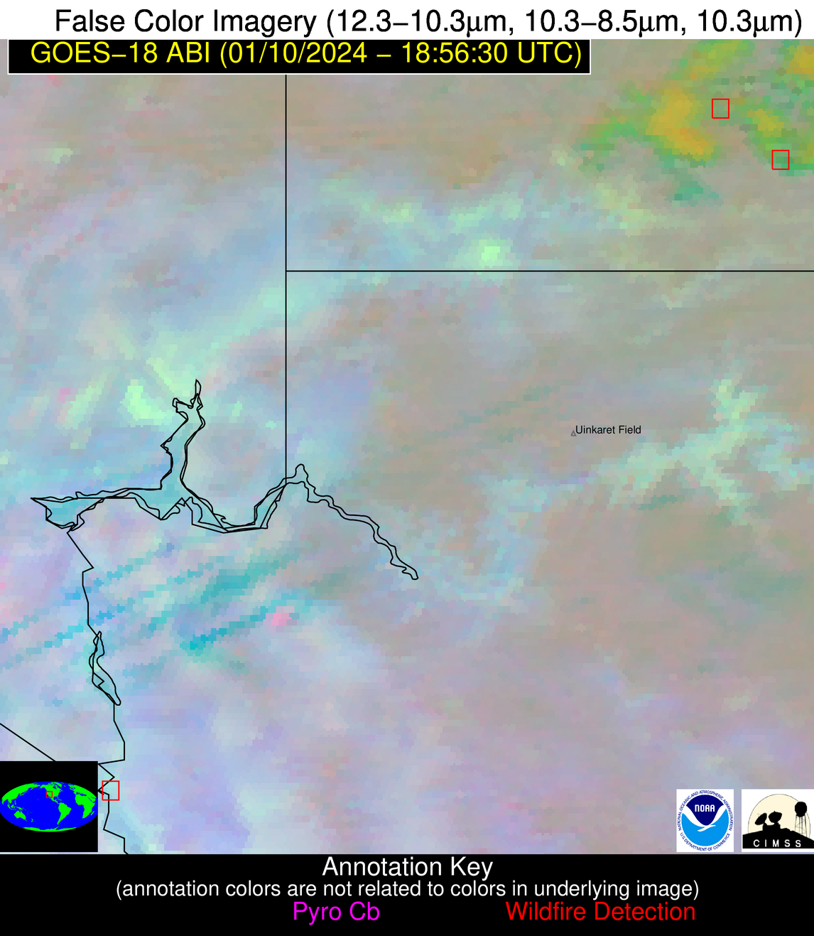
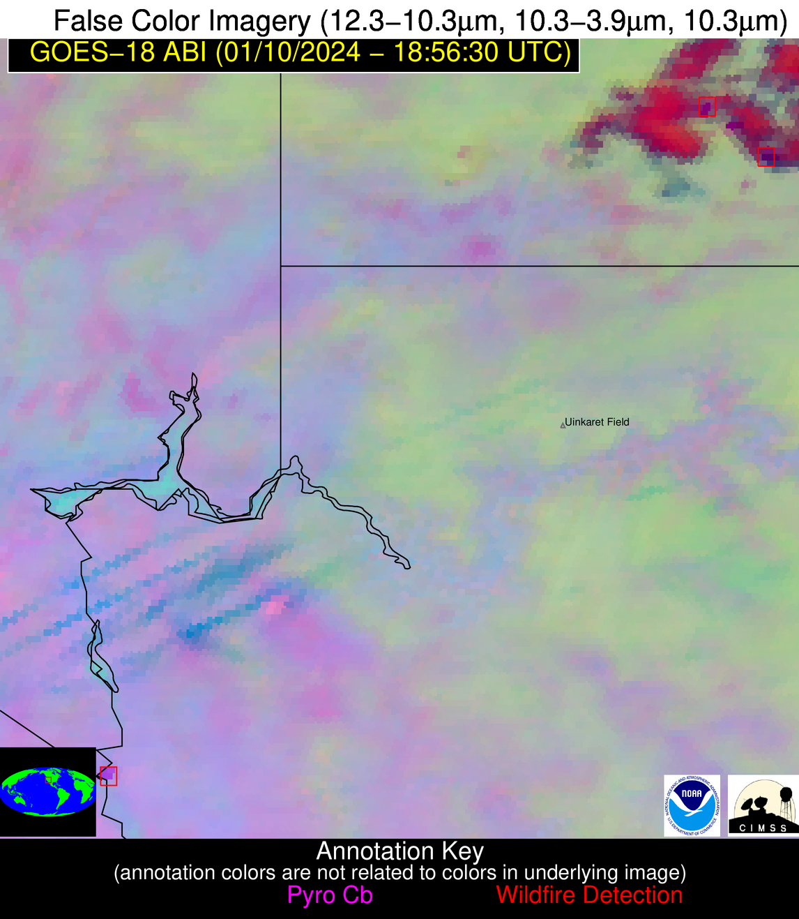
Possible Wildfire
| Basic Information | |
|---|---|
| State/Province(s) | AZ |
| Country/Countries | USA |
| County/Locality(s) | Mohave County, AZ |
| NWS WFO | Las Vegas NV |
| Identification Method | Enhanced Contextual (Cloud) |
| Mean Object Date/Time | 2024-01-10 18:57:24UTC |
| Radiative Center (Lat, Lon): | 35.020000°, -114.610000° |
| Nearby Counties (meeting alert criteria): |
|
| Total Radiative Power Anomaly | n/a |
| Total Radiative Power | 164.24 MW |
| Map: | |
| Additional Information | |
| Alert Status | New Feature |
| Type of Event | Nominal Risk |
| Event Priority Ranking | 4 |
| Maximum Observed BT (3.9 um) | 308.41 K |
| Observed - Background BT (3.9 um) | 11.85 K |
| BT Anomaly (3.9 um) | 10.96 K |
| Maximum Observed - Clear RTM BT (3.9 um) | 20.13 K |
| Maximum Observed BTD (3.9-10/11/12 um) | 21.91 K |
| Observed - Background BTD (3.9-10/11/12 um) | 12.62 K |
| BTD Anomaly (3.9-10/11/12 um) | 21.29 K |
| Similar Pixel Count | 0 |
| BT Time Tendency (3.9 um) | 7.90 K |
| Image Interval | 5.00 minutes |
| Fraction of Surrounding LWIR Pixels that are Colder | 0.20 |
| Fraction of Surrounding Red Channel Pixels that are Brighter | 0.52 |
| Maximum Radiative Power | 44.03 MW |
| Maximum Radiative Power Uncertainty | 0.00 MW |
| Total Radiative Power Uncertainty | 0.00 MW |
| Mean Viewing Angle | 47.40° |
| Mean Solar Zenith Angle | 58.00° |
| Mean Glint Angle | 92.90° |
| Water Fraction | 0.00 |
| Total Pixel Area | 27.40 km2 |
| Latest Satellite Imagery: | |
| View all event imagery » | |


