Wildfire Alert Report
| Date: | 2024-01-09 |
|---|---|
| Time: | 17:06:17 |
| Production Date and Time: | 2024-01-09 17:11:02 UTC |
| Primary Instrument: | GOES-16 ABI |
| Wmo Spacecraft Id: | 152 |
| Location/orbit: | GEO |
| L1 File: | OR_ABI-L1b-RadC-M6C14_G16_s20240091706170_e20240091708543_c20240091709021.nc |
| L1 File(s) - Temporal | OR_ABI-L1b-RadC-M6C14_G16_s20240091701170_e20240091703543_c20240091704019.nc |
| Number Of Thermal Anomaly Alerts: | 3 |
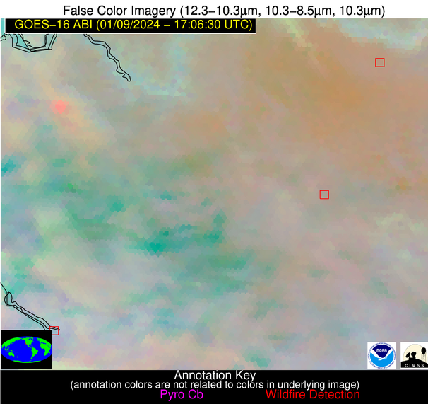
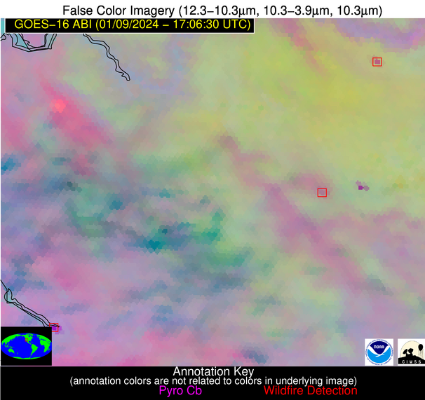
Possible Wildfire
| Basic Information | |
|---|---|
| State/Province(s) | AZ |
| Country/Countries | USA |
| County/Locality(s) | Coconino County, AZ |
| NWS WFO | Flagstaff AZ |
| Identification Method | Enhanced Contextual (Clear) |
| Mean Object Date/Time | 2024-01-09 17:07:18UTC |
| Radiative Center (Lat, Lon): | 35.940000°, -112.110000° |
| Nearby Counties (meeting alert criteria): |
|
| Total Radiative Power Anomaly | n/a |
| Total Radiative Power | 32.13 MW |
| Map: | |
| Additional Information | |
| Alert Status | New Feature |
| Type of Event | Nominal Risk |
| Event Priority Ranking | 4 |
| Maximum Observed BT (3.9 um) | 285.44 K |
| Observed - Background BT (3.9 um) | 12.52 K |
| BT Anomaly (3.9 um) | 10.36 K |
| Maximum Observed - Clear RTM BT (3.9 um) | 11.55 K |
| Maximum Observed BTD (3.9-10/11/12 um) | 17.48 K |
| Observed - Background BTD (3.9-10/11/12 um) | 12.39 K |
| BTD Anomaly (3.9-10/11/12 um) | 15.17 K |
| Similar Pixel Count | 1 |
| BT Time Tendency (3.9 um) | 3.30 K |
| Image Interval | 5.00 minutes |
| Fraction of Surrounding LWIR Pixels that are Colder | 0.47 |
| Fraction of Surrounding Red Channel Pixels that are Brighter | 0.88 |
| Maximum Radiative Power | 32.13 MW |
| Maximum Radiative Power Uncertainty | 0.00 MW |
| Total Radiative Power Uncertainty | 0.00 MW |
| Mean Viewing Angle | 57.30° |
| Mean Solar Zenith Angle | 67.80° |
| Mean Glint Angle | 123.30° |
| Water Fraction | 0.00 |
| Total Pixel Area | 10.00 km2 |
| Latest Satellite Imagery: | |
| View all event imagery » | |
Possible Wildfire
| Basic Information | |
|---|---|
| State/Province(s) | AZ |
| Country/Countries | USA |
| County/Locality(s) | Mohave County, AZ |
| NWS WFO | Las Vegas NV |
| Identification Method | Enhanced Contextual (Cloud) |
| Mean Object Date/Time | 2024-01-09 17:07:18UTC |
| Radiative Center (Lat, Lon): | 34.300000°, -114.100000° |
| Nearby Counties (meeting alert criteria): |
|
| Total Radiative Power Anomaly | n/a |
| Total Radiative Power | 107.60 MW |
| Map: | |
| Additional Information | |
| Alert Status | New Feature |
| Type of Event | Nominal Risk, Known Incident: BWR SOUTH RX (HIGH, tdiff=0.78918 days, POINT) |
| Event Priority Ranking | 4 |
| Maximum Observed BT (3.9 um) | 309.42 K |
| Observed - Background BT (3.9 um) | 17.39 K |
| BT Anomaly (3.9 um) | 13.87 K |
| Maximum Observed - Clear RTM BT (3.9 um) | 24.99 K |
| Maximum Observed BTD (3.9-10/11/12 um) | 27.54 K |
| Observed - Background BTD (3.9-10/11/12 um) | 16.59 K |
| BTD Anomaly (3.9-10/11/12 um) | 22.69 K |
| Similar Pixel Count | 0 |
| BT Time Tendency (3.9 um) | 18.70 K |
| Image Interval | 5.00 minutes |
| Fraction of Surrounding LWIR Pixels that are Colder | 0.81 |
| Fraction of Surrounding Red Channel Pixels that are Brighter | 1.00 |
| Maximum Radiative Power | 70.53 MW |
| Maximum Radiative Power Uncertainty | 0.00 MW |
| Total Radiative Power Uncertainty | 0.00 MW |
| Mean Viewing Angle | 57.60° |
| Mean Solar Zenith Angle | 67.50° |
| Mean Glint Angle | 123.10° |
| Water Fraction | 0.00 |
| Total Pixel Area | 20.50 km2 |
| Latest Satellite Imagery: | |
| View all event imagery » | |
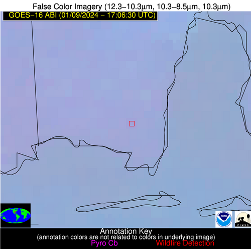
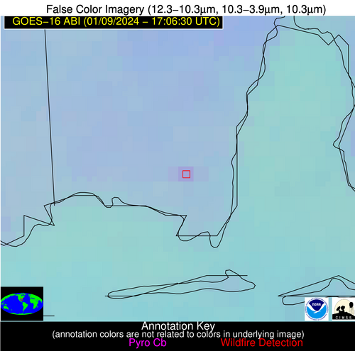
Possible Wildfire
| Basic Information | |
|---|---|
| State/Province(s) | AL |
| Country/Countries | USA |
| County/Locality(s) | Mobile County, AL |
| NWS WFO | Mobile AL |
| Identification Method | Enhanced Contextual (Clear) |
| Mean Object Date/Time | 2024-01-09 17:07:21UTC |
| Radiative Center (Lat, Lon): | 30.440000°, -88.180000° |
| Nearby Counties (meeting alert criteria): |
|
| Total Radiative Power Anomaly | n/a |
| Total Radiative Power | 7.40 MW |
| Map: | |
| Additional Information | |
| Alert Status | New Feature |
| Type of Event | Nominal Risk |
| Event Priority Ranking | 4 |
| Maximum Observed BT (3.9 um) | 293.11 K |
| Observed - Background BT (3.9 um) | 5.29 K |
| BT Anomaly (3.9 um) | 2.27 K |
| Maximum Observed - Clear RTM BT (3.9 um) | 9.65 K |
| Maximum Observed BTD (3.9-10/11/12 um) | 8.44 K |
| Observed - Background BTD (3.9-10/11/12 um) | 4.52 K |
| BTD Anomaly (3.9-10/11/12 um) | 3.77 K |
| Similar Pixel Count | 3 |
| BT Time Tendency (3.9 um) | 1.40 K |
| Image Interval | 5.00 minutes |
| Fraction of Surrounding LWIR Pixels that are Colder | 0.62 |
| Fraction of Surrounding Red Channel Pixels that are Brighter | 1.00 |
| Maximum Radiative Power | 7.40 MW |
| Maximum Radiative Power Uncertainty | 0.00 MW |
| Total Radiative Power Uncertainty | 0.00 MW |
| Mean Viewing Angle | 38.40° |
| Mean Solar Zenith Angle | 53.90° |
| Mean Glint Angle | 91.90° |
| Water Fraction | 0.00 |
| Total Pixel Area | 5.50 km2 |
| Latest Satellite Imagery: | |
| View all event imagery » | |


