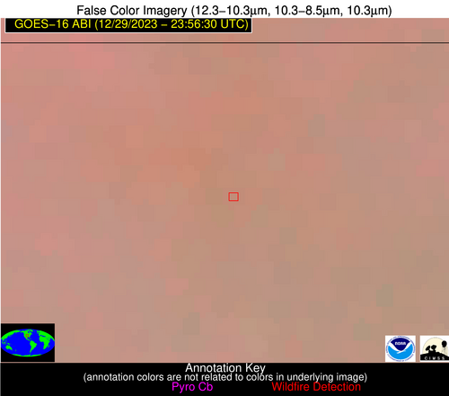
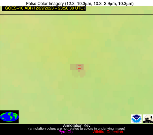
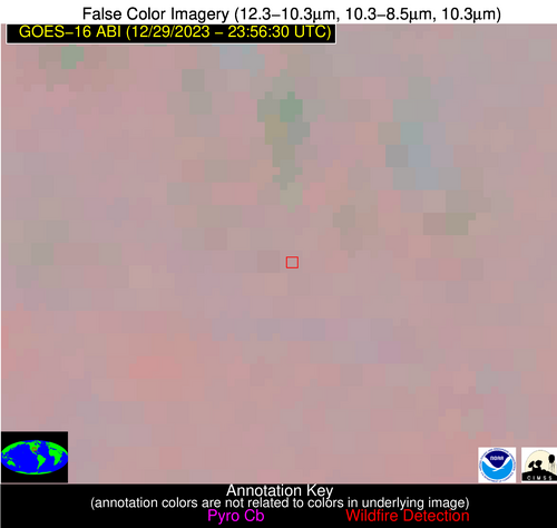
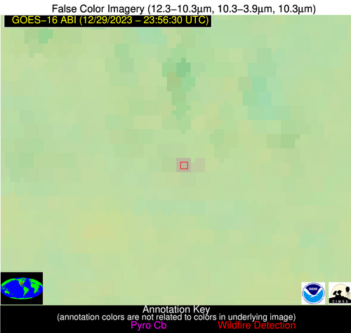
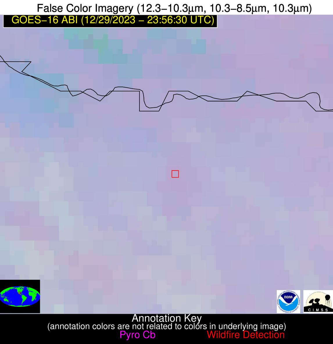
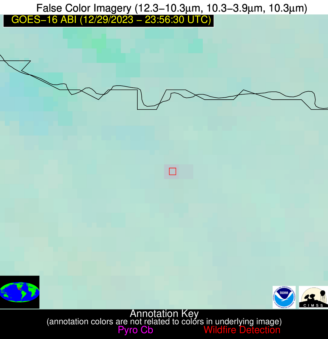
Wildfire Alert Report
| Date: | 2023-12-29 |
|---|---|
| Time: | 23:56:17 |
| Production Date and Time: | 2023-12-30 00:00:45 UTC |
| Primary Instrument: | GOES-16 ABI |
| Wmo Spacecraft Id: | 152 |
| Location/orbit: | GEO |
| L1 File: | OR_ABI-L1b-RadC-M6C14_G16_s20233632356172_e20233632358545_c20233632359030.nc |
| L1 File(s) - Temporal | OR_ABI-L1b-RadC-M6C14_G16_s20233632351172_e20233632353545_c20233632354042.nc |
| Number Of Thermal Anomaly Alerts: | 3 |
Possible Wildfire
| Basic Information | |
|---|---|
| State/Province(s) | KS |
| Country/Countries | USA |
| County/Locality(s) | Republic County, KS |
| NWS WFO | Topeka KS |
| Identification Method | Enhanced Contextual (Clear) |
| Mean Object Date/Time | 2023-12-29 23:56:50UTC |
| Radiative Center (Lat, Lon): | 39.770000°, -97.690000° |
| Nearby Counties (meeting alert criteria): |
|
| Total Radiative Power Anomaly | n/a |
| Total Radiative Power | 6.72 MW |
| Map: | |
| Additional Information | |
| Alert Status | New Feature |
| Type of Event | Nominal Risk |
| Event Priority Ranking | 4 |
| Maximum Observed BT (3.9 um) | 272.77 K |
| Observed - Background BT (3.9 um) | 4.89 K |
| BT Anomaly (3.9 um) | 6.62 K |
| Maximum Observed - Clear RTM BT (3.9 um) | 4.52 K |
| Maximum Observed BTD (3.9-10/11/12 um) | 6.31 K |
| Observed - Background BTD (3.9-10/11/12 um) | 6.18 K |
| BTD Anomaly (3.9-10/11/12 um) | 23.93 K |
| Similar Pixel Count | 1 |
| BT Time Tendency (3.9 um) | 3.70 K |
| Image Interval | 5.00 minutes |
| Fraction of Surrounding LWIR Pixels that are Colder | 0.02 |
| Fraction of Surrounding Red Channel Pixels that are Brighter | 1.00 |
| Maximum Radiative Power | 6.72 MW |
| Maximum Radiative Power Uncertainty | 0.00 MW |
| Total Radiative Power Uncertainty | 0.00 MW |
| Mean Viewing Angle | 51.80° |
| Mean Solar Zenith Angle | 98.40° |
| Mean Glint Angle | 87.90° |
| Water Fraction | 0.00 |
| Total Pixel Area | 7.70 km2 |
| Latest Satellite Imagery: | |
| View all event imagery » | |
Possible Wildfire
| Basic Information | |
|---|---|
| State/Province(s) | OK |
| Country/Countries | USA |
| County/Locality(s) | Atoka County, OK |
| NWS WFO | Norman OK |
| Identification Method | Enhanced Contextual (Clear) |
| Mean Object Date/Time | 2023-12-29 23:57:20UTC |
| Radiative Center (Lat, Lon): | 34.220000°, -96.030000° |
| Nearby Counties (meeting alert criteria): |
|
| Total Radiative Power Anomaly | n/a |
| Total Radiative Power | 6.10 MW |
| Map: | |
| Additional Information | |
| Alert Status | New Feature |
| Type of Event | Nominal Risk |
| Event Priority Ranking | 4 |
| Maximum Observed BT (3.9 um) | 279.13 K |
| Observed - Background BT (3.9 um) | 4.72 K |
| BT Anomaly (3.9 um) | 6.90 K |
| Maximum Observed - Clear RTM BT (3.9 um) | 5.54 K |
| Maximum Observed BTD (3.9-10/11/12 um) | 5.16 K |
| Observed - Background BTD (3.9-10/11/12 um) | 4.88 K |
| BTD Anomaly (3.9-10/11/12 um) | 13.12 K |
| Similar Pixel Count | 1 |
| BT Time Tendency (3.9 um) | 0.90 K |
| Image Interval | 5.00 minutes |
| Fraction of Surrounding LWIR Pixels that are Colder | 0.37 |
| Fraction of Surrounding Red Channel Pixels that are Brighter | 1.00 |
| Maximum Radiative Power | 6.10 MW |
| Maximum Radiative Power Uncertainty | 0.00 MW |
| Total Radiative Power Uncertainty | 0.00 MW |
| Mean Viewing Angle | 45.80° |
| Mean Solar Zenith Angle | 97.40° |
| Mean Glint Angle | 87.60° |
| Water Fraction | 0.00 |
| Total Pixel Area | 6.60 km2 |
| Latest Satellite Imagery: | |
| View all event imagery » | |
Possible Wildfire
| Basic Information | |
|---|---|
| State/Province(s) | Unknown |
| Country/Countries | Mexico |
| County/Locality(s) | Mexico |
| NWS WFO | N/A |
| Identification Method | Enhanced Contextual (Clear) |
| Mean Object Date/Time | 2023-12-29 23:57:49UTC |
| Radiative Center (Lat, Lon): | 25.930000°, -98.020000° |
| Nearby Counties (meeting alert criteria): |
|
| Total Radiative Power Anomaly | n/a |
| Total Radiative Power | 3.56 MW |
| Map: | |
| Additional Information | |
| Alert Status | New Feature |
| Type of Event | Ferrous-metal |
| Event Priority Ranking | 5 |
| Maximum Observed BT (3.9 um) | 285.93 K |
| Observed - Background BT (3.9 um) | 2.12 K |
| BT Anomaly (3.9 um) | 5.54 K |
| Maximum Observed - Clear RTM BT (3.9 um) | 1.24 K |
| Maximum Observed BTD (3.9-10/11/12 um) | 2.89 K |
| Observed - Background BTD (3.9-10/11/12 um) | 2.80 K |
| BTD Anomaly (3.9-10/11/12 um) | 6.30 K |
| Similar Pixel Count | 1 |
| BT Time Tendency (3.9 um) | 0.10 K |
| Image Interval | 5.00 minutes |
| Fraction of Surrounding LWIR Pixels that are Colder | 0.05 |
| Fraction of Surrounding Red Channel Pixels that are Brighter | 1.00 |
| Maximum Radiative Power | 3.56 MW |
| Maximum Radiative Power Uncertainty | 0.00 MW |
| Total Radiative Power Uncertainty | 0.00 MW |
| Mean Viewing Angle | 39.70° |
| Mean Solar Zenith Angle | 92.40° |
| Mean Glint Angle | 79.90° |
| Water Fraction | 0.00 |
| Total Pixel Area | 5.80 km2 |
| Latest Satellite Imagery: | |
| View all event imagery » | |
