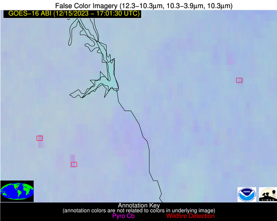
Wildfire Alert Report
| Date: | 2023-12-15 |
|---|---|
| Time: | 17:01:17 |
| Production Date and Time: | 2023-12-15 17:05:58 UTC |
| Primary Instrument: | GOES-16 ABI |
| Wmo Spacecraft Id: | 152 |
| Location/orbit: | GEO |
| L1 File: | OR_ABI-L1b-RadC-M6C14_G16_s20233491701172_e20233491703545_c20233491704031.nc |
| L1 File(s) - Temporal | OR_ABI-L1b-RadC-M6C14_G16_s20233491656172_e20233491658545_c20233491659000.nc |
| Number Of Thermal Anomaly Alerts: | 5 |
Possible Wildfire
| Basic Information | |
|---|---|
| State/Province(s) | SC |
| Country/Countries | USA |
| County/Locality(s) | Lexington County, SC |
| NWS WFO | Columbia SC |
| Identification Method | Enhanced Contextual (Clear) |
| Mean Object Date/Time | 2023-12-15 17:02:22UTC |
| Radiative Center (Lat, Lon): | 33.700°, -81.200° |
| Nearby Counties (meeting alert criteria): |
|
| Total Radiative Power Anomaly | n/a |
| Total Radiative Power | 12.67 MW |
| Map: | |
| Additional Information | |
| Alert Status | New Feature |
| Type of Event | Nominal Risk |
| Event Priority Ranking | 4 |
| Maximum Observed BT (3.9 um) | 294.22 K |
| Observed - Background BT (3.9 um) | 3.25 K |
| BT Anomaly (3.9 um) | 3.63 K |
| Maximum Observed - Clear RTM BT (3.9 um) | 11.15 K |
| Maximum Observed BTD (3.9-10/11/12 um) | 8.14 K |
| Observed - Background BTD (3.9-10/11/12 um) | 3.17 K |
| BTD Anomaly (3.9-10/11/12 um) | 5.45 K |
| Similar Pixel Count | 4 |
| BT Time Tendency (3.9 um) | 2.90 K |
| Image Interval | 5.00 minutes |
| Fraction of Surrounding LWIR Pixels that are Colder | 0.65 |
| Fraction of Surrounding Red Channel Pixels that are Brighter | 1.00 |
| Maximum Radiative Power | 6.75 MW |
| Maximum Radiative Power Uncertainty | 0.00 MW |
| Total Radiative Power Uncertainty | 0.00 MW |
| Mean Viewing Angle | 39.90° |
| Mean Solar Zenith Angle | 57.00° |
| Mean Glint Angle | 96.70° |
| Water Fraction | 0.00 |
| Total Pixel Area | 11.30 km2 |
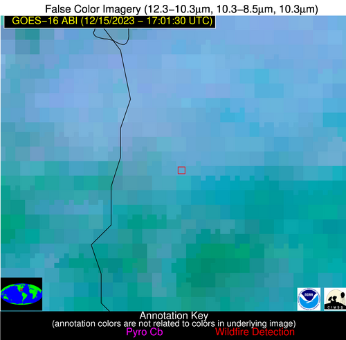
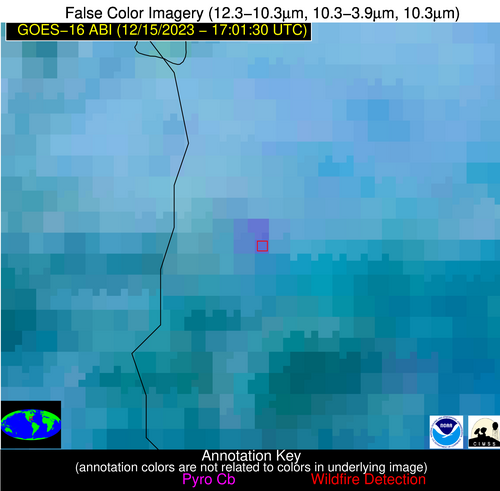
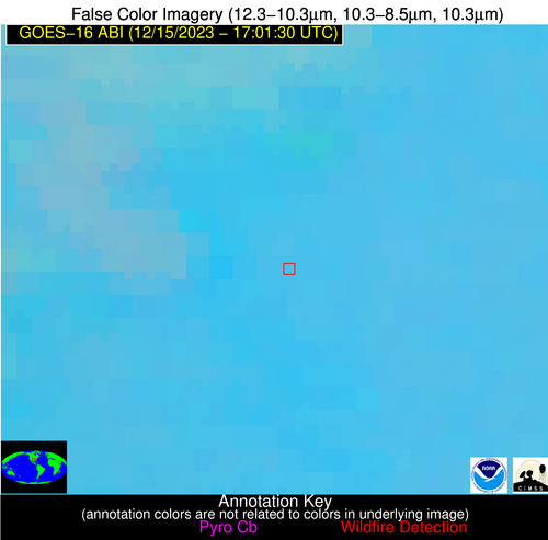
| Latest Satellite Imagery: | |
| View all event imagery » | |
Possible Wildfire
| Basic Information | |
|---|---|
| State/Province(s) | GA |
| Country/Countries | USA |
| County/Locality(s) | Warren County, GA |
| NWS WFO | Peachtree City GA |
| Identification Method | Enhanced Contextual (Clear) |
| Mean Object Date/Time | 2023-12-15 17:02:22UTC |
| Radiative Center (Lat, Lon): | 33.480°, -82.830° |
| Nearby Counties (meeting alert criteria): |
|
| Total Radiative Power Anomaly | n/a |
| Total Radiative Power | 11.78 MW |
| Map: | |
| Additional Information | |
| Alert Status | New Feature |
| Type of Event | Nominal Risk |
| Event Priority Ranking | 4 |
| Maximum Observed BT (3.9 um) | 294.27 K |
| Observed - Background BT (3.9 um) | 5.44 K |
| BT Anomaly (3.9 um) | 6.06 K |
| Maximum Observed - Clear RTM BT (3.9 um) | 11.44 K |
| Maximum Observed BTD (3.9-10/11/12 um) | 9.43 K |
| Observed - Background BTD (3.9-10/11/12 um) | 5.86 K |
| BTD Anomaly (3.9-10/11/12 um) | 14.29 K |
| Similar Pixel Count | 3 |
| BT Time Tendency (3.9 um) | 1.50 K |
| Image Interval | 5.00 minutes |
| Fraction of Surrounding LWIR Pixels that are Colder | 0.18 |
| Fraction of Surrounding Red Channel Pixels that are Brighter | 1.00 |
| Maximum Radiative Power | 11.78 MW |
| Maximum Radiative Power Uncertainty | 0.00 MW |
| Total Radiative Power Uncertainty | 0.00 MW |
| Mean Viewing Angle | 40.00° |
| Mean Solar Zenith Angle | 56.90° |
| Mean Glint Angle | 96.60° |
| Water Fraction | 0.00 |
| Total Pixel Area | 5.70 km2 |
| Latest Satellite Imagery: | |
| View all event imagery » | |
Possible Wildfire
| Basic Information | |
|---|---|
| State/Province(s) | GA |
| Country/Countries | USA |
| County/Locality(s) | Early County, GA |
| NWS WFO | Tallahassee FL |
| Identification Method | Enhanced Contextual (Clear) |
| Mean Object Date/Time | 2023-12-15 17:02:21UTC |
| Radiative Center (Lat, Lon): | 31.410°, -84.960° |
| Nearby Counties (meeting alert criteria): |
|
| Total Radiative Power Anomaly | n/a |
| Total Radiative Power | 19.57 MW |
| Map: | |
| Additional Information | |
| Alert Status | New Feature |
| Type of Event | Nominal Risk |
| Event Priority Ranking | 4 |
| Maximum Observed BT (3.9 um) | 298.75 K |
| Observed - Background BT (3.9 um) | 7.86 K |
| BT Anomaly (3.9 um) | 5.54 K |
| Maximum Observed - Clear RTM BT (3.9 um) | 13.19 K |
| Maximum Observed BTD (3.9-10/11/12 um) | 17.40 K |
| Observed - Background BTD (3.9-10/11/12 um) | 8.83 K |
| BTD Anomaly (3.9-10/11/12 um) | 6.94 K |
| Similar Pixel Count | 13 |
| BT Time Tendency (3.9 um) | 2.60 K |
| Image Interval | 5.00 minutes |
| Fraction of Surrounding LWIR Pixels that are Colder | 0.57 |
| Fraction of Surrounding Red Channel Pixels that are Brighter | 0.99 |
| Maximum Radiative Power | 19.57 MW |
| Maximum Radiative Power Uncertainty | 0.00 MW |
| Total Radiative Power Uncertainty | 0.00 MW |
| Mean Viewing Angle | 38.30° |
| Mean Solar Zenith Angle | 55.10° |
| Mean Glint Angle | 93.00° |
| Water Fraction | 0.00 |
| Total Pixel Area | 5.50 km2 |
| Latest Satellite Imagery: | |
| View all event imagery » | |
Possible Wildfire
| Basic Information | |
|---|---|
| State/Province(s) | TX |
| Country/Countries | USA |
| County/Locality(s) | Polk County, TX |
| NWS WFO | Houston/Galveston TX |
| Identification Method | Enhanced Contextual (Clear) |
| Mean Object Date/Time | 2023-12-15 17:02:20UTC |
| Radiative Center (Lat, Lon): | 30.630°, -94.910° |
| Nearby Counties (meeting alert criteria): |
|
| Total Radiative Power Anomaly | n/a |
| Total Radiative Power | 15.78 MW |
| Map: | |
| Additional Information | |
| Alert Status | New Feature |
| Type of Event | Nominal Risk |
| Event Priority Ranking | 4 |
| Maximum Observed BT (3.9 um) | 299.92 K |
| Observed - Background BT (3.9 um) | 5.80 K |
| BT Anomaly (3.9 um) | 4.04 K |
| Maximum Observed - Clear RTM BT (3.9 um) | 10.92 K |
| Maximum Observed BTD (3.9-10/11/12 um) | 13.91 K |
| Observed - Background BTD (3.9-10/11/12 um) | 5.51 K |
| BTD Anomaly (3.9-10/11/12 um) | 3.20 K |
| Similar Pixel Count | 2 |
| BT Time Tendency (3.9 um) | 0.50 K |
| Image Interval | 5.00 minutes |
| Fraction of Surrounding LWIR Pixels that are Colder | 0.61 |
| Fraction of Surrounding Red Channel Pixels that are Brighter | 1.00 |
| Maximum Radiative Power | 15.78 MW |
| Maximum Radiative Power Uncertainty | 0.00 MW |
| Total Radiative Power Uncertainty | 0.00 MW |
| Mean Viewing Angle | 41.80° |
| Mean Solar Zenith Angle | 56.50° |
| Mean Glint Angle | 97.30° |
| Water Fraction | 0.00 |
| Total Pixel Area | 6.00 km2 |
| Latest Satellite Imagery: | |
| View all event imagery » | |
Possible Wildfire
| Basic Information | |
|---|---|
| State/Province(s) | LA |
| Country/Countries | USA |
| County/Locality(s) | Iberville Parish, LA |
| NWS WFO | New Orleans LA |
| Identification Method | Enhanced Contextual (Cloud) |
| Mean Object Date/Time | 2023-12-15 17:02:20UTC |
| Radiative Center (Lat, Lon): | 30.470°, -91.510° |
| Nearby Counties (meeting alert criteria): |
|
| Total Radiative Power Anomaly | n/a |
| Total Radiative Power | 312.39 MW |
| Map: | |
| Additional Information | |
| Alert Status | New Feature |
| Type of Event | Nominal Risk |
| Event Priority Ranking | 4 |
| Maximum Observed BT (3.9 um) | 325.68 K |
| Observed - Background BT (3.9 um) | 29.80 K |
| BT Anomaly (3.9 um) | 24.66 K |
| Maximum Observed - Clear RTM BT (3.9 um) | 36.69 K |
| Maximum Observed BTD (3.9-10/11/12 um) | 38.54 K |
| Observed - Background BTD (3.9-10/11/12 um) | 29.64 K |
| BTD Anomaly (3.9-10/11/12 um) | 27.61 K |
| Similar Pixel Count | 0 |
| BT Time Tendency (3.9 um) | 28.00 K |
| Image Interval | 5.00 minutes |
| Fraction of Surrounding LWIR Pixels that are Colder | 0.58 |
| Fraction of Surrounding Red Channel Pixels that are Brighter | 0.98 |
| Maximum Radiative Power | 168.76 MW |
| Maximum Radiative Power Uncertainty | 0.00 MW |
| Total Radiative Power Uncertainty | 0.00 MW |
| Mean Viewing Angle | 39.90° |
| Mean Solar Zenith Angle | 55.40° |
| Mean Glint Angle | 94.50° |
| Water Fraction | 0.00 |
| Total Pixel Area | 22.90 km2 |
| Latest Satellite Imagery: | |
| View all event imagery » | |

