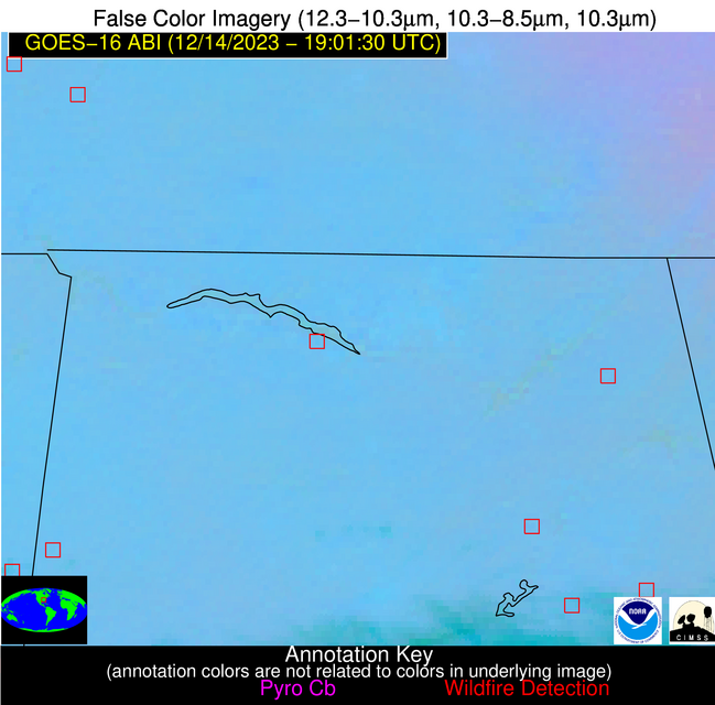
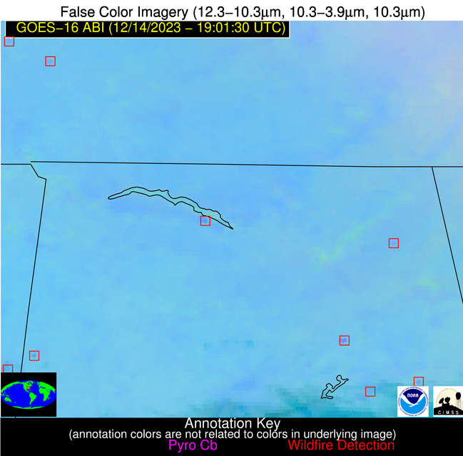
Wildfire Alert Report
| Date: | 2023-12-14 |
|---|---|
| Time: | 19:01:17 |
| Production Date and Time: | 2023-12-14 19:07:58 UTC |
| Primary Instrument: | GOES-16 ABI |
| Wmo Spacecraft Id: | 152 |
| Location/orbit: | GEO |
| L1 File: | OR_ABI-L1b-RadC-M6C14_G16_s20233481901171_e20233481903544_c20233481904012.nc |
| L1 File(s) - Temporal | OR_ABI-L1b-RadC-M6C14_G16_s20233481856171_e20233481858544_c20233481859021.nc |
| Number Of Thermal Anomaly Alerts: | 7 |
Possible Wildfire
| Basic Information | |
|---|---|
| State/Province(s) | IL |
| Country/Countries | USA |
| County/Locality(s) | Lake County, IL |
| NWS WFO | Chicago IL |
| Identification Method | Enhanced Contextual (Clear) |
| Mean Object Date/Time | 2023-12-14 19:01:51UTC |
| Radiative Center (Lat, Lon): | 42.220°, -88.180° |
| Nearby Counties (meeting alert criteria): |
|
| Total Radiative Power Anomaly | n/a |
| Total Radiative Power | 27.21 MW |
| Map: | |
| Additional Information | |
| Alert Status | New Feature |
| Type of Event | Nominal Risk |
| Event Priority Ranking | 4 |
| Maximum Observed BT (3.9 um) | 291.38 K |
| Observed - Background BT (3.9 um) | 5.79 K |
| BT Anomaly (3.9 um) | 7.11 K |
| Maximum Observed - Clear RTM BT (3.9 um) | 14.64 K |
| Maximum Observed BTD (3.9-10/11/12 um) | 11.42 K |
| Observed - Background BTD (3.9-10/11/12 um) | 6.32 K |
| BTD Anomaly (3.9-10/11/12 um) | 14.43 K |
| Similar Pixel Count | 2 |
| BT Time Tendency (3.9 um) | 5.10 K |
| Image Interval | 5.00 minutes |
| Fraction of Surrounding LWIR Pixels that are Colder | 0.37 |
| Fraction of Surrounding Red Channel Pixels that are Brighter | 1.00 |
| Maximum Radiative Power | 13.97 MW |
| Maximum Radiative Power Uncertainty | 0.00 MW |
| Total Radiative Power Uncertainty | 0.00 MW |
| Mean Viewing Angle | 50.80° |
| Mean Solar Zenith Angle | 67.50° |
| Mean Glint Angle | 109.00° |
| Water Fraction | 0.00 |
| Total Pixel Area | 14.50 km2 |
| Latest Satellite Imagery: | |
| View all event imagery » | |
Possible Wildfire
| Basic Information | |
|---|---|
| State/Province(s) | IL |
| Country/Countries | USA |
| County/Locality(s) | Cook County, IL |
| NWS WFO | Chicago IL |
| Identification Method | Enhanced Contextual (Clear) |
| Mean Object Date/Time | 2023-12-14 19:01:51UTC |
| Radiative Center (Lat, Lon): | 41.660°, -87.890° |
| Nearby Counties (meeting alert criteria): |
|
| Total Radiative Power Anomaly | n/a |
| Total Radiative Power | 97.45 MW |
| Map: | |
| Additional Information | |
| Alert Status | New Feature |
| Type of Event | Nominal Risk |
| Event Priority Ranking | 4 |
| Maximum Observed BT (3.9 um) | 304.86 K |
| Observed - Background BT (3.9 um) | 18.29 K |
| BT Anomaly (3.9 um) | 21.99 K |
| Maximum Observed - Clear RTM BT (3.9 um) | 27.40 K |
| Maximum Observed BTD (3.9-10/11/12 um) | 24.62 K |
| Observed - Background BTD (3.9-10/11/12 um) | 19.15 K |
| BTD Anomaly (3.9-10/11/12 um) | 38.38 K |
| Similar Pixel Count | 2 |
| BT Time Tendency (3.9 um) | 8.50 K |
| Image Interval | 5.00 minutes |
| Fraction of Surrounding LWIR Pixels that are Colder | 0.04 |
| Fraction of Surrounding Red Channel Pixels that are Brighter | 1.00 |
| Maximum Radiative Power | 53.75 MW |
| Maximum Radiative Power Uncertainty | 0.00 MW |
| Total Radiative Power Uncertainty | 0.00 MW |
| Mean Viewing Angle | 50.10° |
| Mean Solar Zenith Angle | 67.10° |
| Mean Glint Angle | 108.00° |
| Water Fraction | 0.00 |
| Total Pixel Area | 14.20 km2 |
| Latest Satellite Imagery: | |
| View all event imagery » | |
Possible Wildfire
| Basic Information | |
|---|---|
| State/Province(s) | OK |
| Country/Countries | USA |
| County/Locality(s) | Creek County, OK |
| NWS WFO | Tulsa OK |
| Identification Method | Enhanced Contextual (Cloud) |
| Mean Object Date/Time | 2023-12-14 19:02:20UTC |
| Radiative Center (Lat, Lon): | 36.050°, -96.330° |
| Nearby Counties (meeting alert criteria): |
|
| Total Radiative Power Anomaly | n/a |
| Total Radiative Power | 41.09 MW |
| Map: | |
| Additional Information | |
| Alert Status | New Feature |
| Type of Event | Nominal Risk |
| Event Priority Ranking | 4 |
| Maximum Observed BT (3.9 um) | 304.28 K |
| Observed - Background BT (3.9 um) | 14.44 K |
| BT Anomaly (3.9 um) | 18.40 K |
| Maximum Observed - Clear RTM BT (3.9 um) | 20.56 K |
| Maximum Observed BTD (3.9-10/11/12 um) | 23.27 K |
| Observed - Background BTD (3.9-10/11/12 um) | 14.31 K |
| BTD Anomaly (3.9-10/11/12 um) | 12.88 K |
| Similar Pixel Count | 0 |
| BT Time Tendency (3.9 um) | 12.20 K |
| Image Interval | 5.00 minutes |
| Fraction of Surrounding LWIR Pixels that are Colder | 0.93 |
| Fraction of Surrounding Red Channel Pixels that are Brighter | 0.97 |
| Maximum Radiative Power | 41.09 MW |
| Maximum Radiative Power Uncertainty | 0.00 MW |
| Total Radiative Power Uncertainty | 0.00 MW |
| Mean Viewing Angle | 47.70° |
| Mean Solar Zenith Angle | 59.90° |
| Mean Glint Angle | 96.80° |
| Water Fraction | 0.00 |
| Total Pixel Area | 6.90 km2 |
| Latest Satellite Imagery: | |
| View all event imagery » | |
Possible Wildfire
| Basic Information | |
|---|---|
| State/Province(s) | TN |
| Country/Countries | USA |
| County/Locality(s) | Decatur County, TN |
| NWS WFO | Memphis TN |
| Identification Method | Enhanced Contextual (Clear) |
| Mean Object Date/Time | 2023-12-14 19:02:21UTC |
| Radiative Center (Lat, Lon): | 35.690°, -88.070° |
| Nearby Counties (meeting alert criteria): |
|
| Total Radiative Power Anomaly | n/a |
| Total Radiative Power | 6.42 MW |
| Map: | |
| Additional Information | |
| Alert Status | New Feature |
| Type of Event | Nominal Risk, Known Incident: RX KING BURN- DECATUR COUNTY- PARSONS TOWER (MEDIUM, tdiff=0.07278 day |
| Event Priority Ranking | 4 |
| Maximum Observed BT (3.9 um) | 296.12 K |
| Observed - Background BT (3.9 um) | 2.85 K |
| BT Anomaly (3.9 um) | 4.81 K |
| Maximum Observed - Clear RTM BT (3.9 um) | 11.82 K |
| Maximum Observed BTD (3.9-10/11/12 um) | 7.93 K |
| Observed - Background BTD (3.9-10/11/12 um) | 2.66 K |
| BTD Anomaly (3.9-10/11/12 um) | 10.30 K |
| Similar Pixel Count | 16 |
| BT Time Tendency (3.9 um) | 1.10 K |
| Image Interval | 5.00 minutes |
| Fraction of Surrounding LWIR Pixels that are Colder | 0.61 |
| Fraction of Surrounding Red Channel Pixels that are Brighter | 1.00 |
| Maximum Radiative Power | 6.42 MW |
| Maximum Radiative Power Uncertainty | 0.00 MW |
| Total Radiative Power Uncertainty | 0.00 MW |
| Mean Viewing Angle | 43.80° |
| Mean Solar Zenith Angle | 61.40° |
| Mean Glint Angle | 96.50° |
| Water Fraction | 0.00 |
| Total Pixel Area | 6.20 km2 |
| Latest Satellite Imagery: | |
| View all event imagery » | |
Possible Wildfire
| Basic Information | |
|---|---|
| State/Province(s) | SC |
| Country/Countries | USA |
| County/Locality(s) | Fairfield County, SC |
| NWS WFO | Columbia SC |
| Identification Method | Enhanced Contextual (Clear) |
| Mean Object Date/Time | 2023-12-14 19:02:22UTC |
| Radiative Center (Lat, Lon): | 34.280°, -81.000° |
| Nearby Counties (meeting alert criteria): |
|
| Total Radiative Power Anomaly | n/a |
| Total Radiative Power | 11.16 MW |
| Map: | |
| Additional Information | |
| Alert Status | New Feature |
| Type of Event | Nominal Risk |
| Event Priority Ranking | 4 |
| Maximum Observed BT (3.9 um) | 293.59 K |
| Observed - Background BT (3.9 um) | 5.64 K |
| BT Anomaly (3.9 um) | 3.82 K |
| Maximum Observed - Clear RTM BT (3.9 um) | 10.93 K |
| Maximum Observed BTD (3.9-10/11/12 um) | 8.65 K |
| Observed - Background BTD (3.9-10/11/12 um) | 5.63 K |
| BTD Anomaly (3.9-10/11/12 um) | 8.44 K |
| Similar Pixel Count | 1 |
| BT Time Tendency (3.9 um) | 3.60 K |
| Image Interval | 5.00 minutes |
| Fraction of Surrounding LWIR Pixels that are Colder | 0.62 |
| Fraction of Surrounding Red Channel Pixels that are Brighter | 1.00 |
| Maximum Radiative Power | 11.16 MW |
| Maximum Radiative Power Uncertainty | 0.00 MW |
| Total Radiative Power Uncertainty | 0.00 MW |
| Mean Viewing Angle | 40.50° |
| Mean Solar Zenith Angle | 62.40° |
| Mean Glint Angle | 96.10° |
| Water Fraction | 0.00 |
| Total Pixel Area | 5.70 km2 |
| Latest Satellite Imagery: | |
| View all event imagery » | |
Possible Wildfire
| Basic Information | |
|---|---|
| State/Province(s) | AL |
| Country/Countries | USA |
| County/Locality(s) | Cleburne County, AL |
| NWS WFO | Birmingham AL |
| Identification Method | Enhanced Contextual (Clear) |
| Mean Object Date/Time | 2023-12-14 19:02:21UTC |
| Radiative Center (Lat, Lon): | 33.550°, -85.700° |
| Nearby Counties (meeting alert criteria): |
|
| Total Radiative Power Anomaly | n/a |
| Total Radiative Power | 11.65 MW |
| Map: | |
| Additional Information | |
| Alert Status | New Feature |
| Type of Event | Nominal Risk |
| Event Priority Ranking | 4 |
| Maximum Observed BT (3.9 um) | 295.87 K |
| Observed - Background BT (3.9 um) | 4.28 K |
| BT Anomaly (3.9 um) | 3.08 K |
| Maximum Observed - Clear RTM BT (3.9 um) | 11.45 K |
| Maximum Observed BTD (3.9-10/11/12 um) | 9.93 K |
| Observed - Background BTD (3.9-10/11/12 um) | 4.67 K |
| BTD Anomaly (3.9-10/11/12 um) | 8.16 K |
| Similar Pixel Count | 1 |
| BT Time Tendency (3.9 um) | 1.80 K |
| Image Interval | 5.00 minutes |
| Fraction of Surrounding LWIR Pixels that are Colder | 0.52 |
| Fraction of Surrounding Red Channel Pixels that are Brighter | 1.00 |
| Maximum Radiative Power | 11.65 MW |
| Maximum Radiative Power Uncertainty | 0.00 MW |
| Total Radiative Power Uncertainty | 0.00 MW |
| Mean Viewing Angle | 40.80° |
| Mean Solar Zenith Angle | 60.10° |
| Mean Glint Angle | 92.80° |
| Water Fraction | 0.00 |
| Total Pixel Area | 5.80 km2 |
| Latest Satellite Imagery: | |
| View all event imagery » | |
Possible Wildfire
| Basic Information | |
|---|---|
| State/Province(s) | AL |
| Country/Countries | USA |
| County/Locality(s) | Covington County, AL |
| NWS WFO | Mobile AL |
| Identification Method | Enhanced Contextual (Clear) |
| Mean Object Date/Time | 2023-12-14 19:02:21UTC |
| Radiative Center (Lat, Lon): | 31.130°, -86.240° |
| Nearby Counties (meeting alert criteria): |
|
| Total Radiative Power Anomaly | n/a |
| Total Radiative Power | 25.38 MW |
| Map: | |
| Additional Information | |
| Alert Status | New Feature |
| Type of Event | Nominal Risk |
| Event Priority Ranking | 4 |
| Maximum Observed BT (3.9 um) | 293.00 K |
| Observed - Background BT (3.9 um) | 8.58 K |
| BT Anomaly (3.9 um) | 10.71 K |
| Maximum Observed - Clear RTM BT (3.9 um) | 7.11 K |
| Maximum Observed BTD (3.9-10/11/12 um) | 25.91 K |
| Observed - Background BTD (3.9-10/11/12 um) | 9.25 K |
| BTD Anomaly (3.9-10/11/12 um) | 9.94 K |
| Similar Pixel Count | 4 |
| BT Time Tendency (3.9 um) | 1.80 K |
| Image Interval | 5.00 minutes |
| Fraction of Surrounding LWIR Pixels that are Colder | 0.10 |
| Fraction of Surrounding Red Channel Pixels that are Brighter | 1.00 |
| Maximum Radiative Power | 25.38 MW |
| Maximum Radiative Power Uncertainty | 0.00 MW |
| Total Radiative Power Uncertainty | 0.00 MW |
| Mean Viewing Angle | 38.40° |
| Mean Solar Zenith Angle | 57.70° |
| Mean Glint Angle | 87.90° |
| Water Fraction | 0.00 |
| Total Pixel Area | 5.50 km2 |
| Latest Satellite Imagery: | |
| View all event imagery » | |
