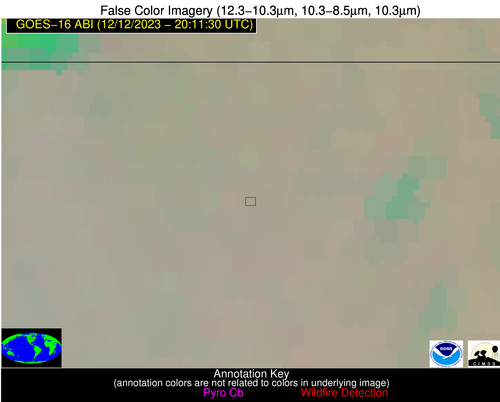
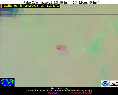
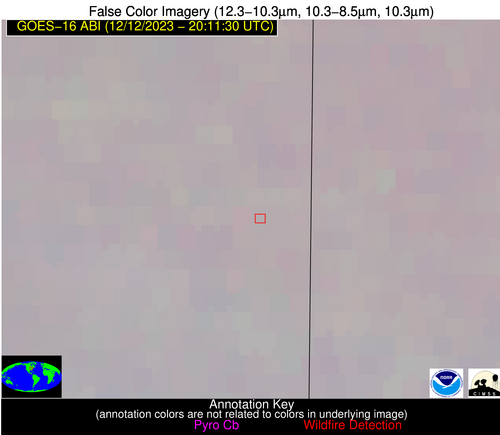
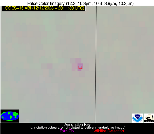
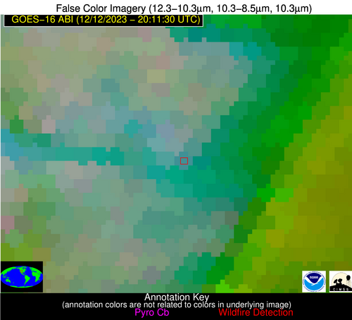
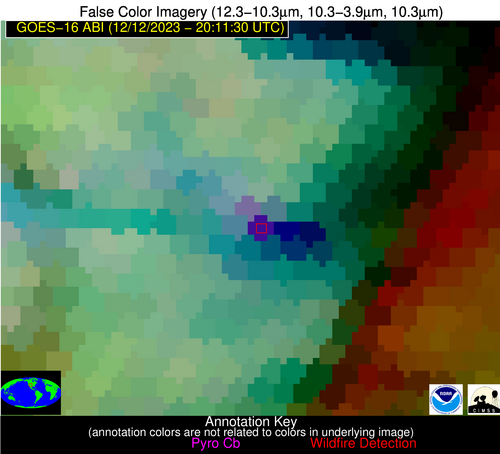
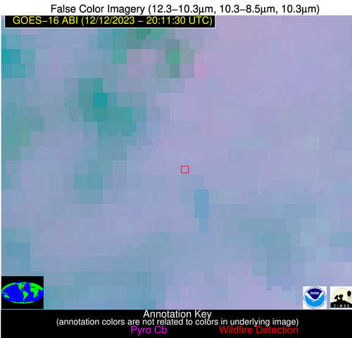
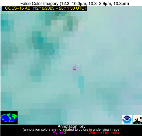
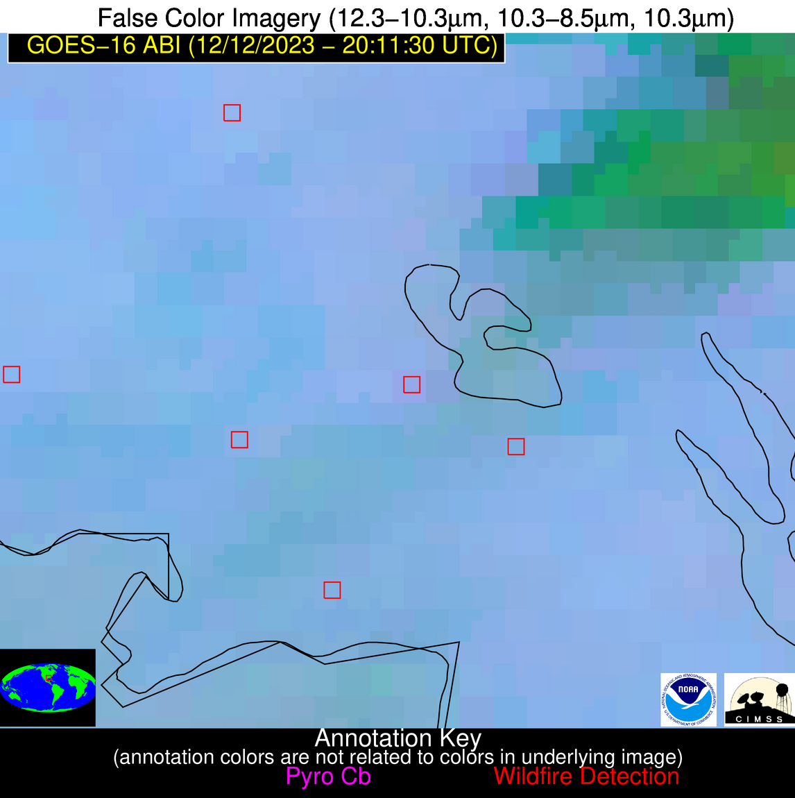
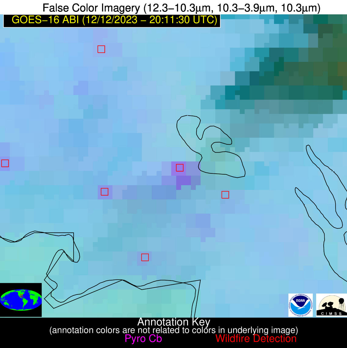
Please consider accessing NGFS detections and satellite imagery through the NOAA/NESDIS Wildland Fire Data Portal: https://fire.data.nesdis.noaa.gov/map/
Wildfire Notification Report
| Date: | 2023-12-12 |
|---|---|
| Time: | 20:11:17 |
| Production Date and Time: | 2023-12-12 20:15:56 UTC |
| Primary Instrument: | GOES-16 ABI |
| Wmo Spacecraft Id: | 152 |
| Location/orbit: | GEO |
| L1 File: | OR_ABI-L1b-RadC-M6C14_G16_s20233462011170_e20233462013543_c20233462014047.nc |
| L1 File(s) - Temporal | OR_ABI-L1b-RadC-M6C14_G16_s20233462006170_e20233462008543_c20233462009030.nc |
| Number Of Thermal Anomaly Notifications: | 5 |
Possible Wildfire
| Basic Information | |
|---|---|
| State/Province(s) | SD |
| Country/Countries | USA |
| County/Locality(s) | Brown County, SD |
| NWS WFO | Aberdeen SD |
| Identification Method | Enhanced Contextual (Clear) |
| Mean Object Date/Time | 2023-12-12 20:11:20UTC |
| Radiative Center (Lat, Lon): | 45.730000°, -98.500000° |
| Nearby Counties (meeting notification criteria): |
|
| Total Radiative Power Anomaly | n/a |
| Total Radiative Power | 20.25 MW |
| Map: | |
| Additional Information | |
| Notification Status | New Feature |
| Type of Event | Nominal Risk |
| Event Priority Ranking | 4 |
| Maximum Observed BT (3.9 um) | 282.48 K |
| Observed - Background BT (3.9 um) | 5.64 K |
| BT Anomaly (3.9 um) | 6.93 K |
| Maximum Observed - Clear RTM BT (3.9 um) | 14.88 K |
| Maximum Observed BTD (3.9-10/11/12 um) | 11.84 K |
| Observed - Background BTD (3.9-10/11/12 um) | 5.49 K |
| BTD Anomaly (3.9-10/11/12 um) | 10.56 K |
| Similar Pixel Count | 3 |
| BT Time Tendency (3.9 um) | 5.00 K |
| Image Interval | 5.00 minutes |
| Fraction of Surrounding LWIR Pixels that are Colder | 0.60 |
| Fraction of Surrounding Red Channel Pixels that are Brighter | 0.99 |
| Maximum Radiative Power | 10.89 MW |
| Maximum Radiative Power Uncertainty | 0.00 MW |
| Total Radiative Power Uncertainty | 0.00 MW |
| Mean Viewing Angle | 57.80° |
| Mean Solar Zenith Angle | 72.60° |
| Mean Glint Angle | 106.90° |
| Water Fraction | 0.00 |
| Total Pixel Area | 18.80 km2 |
| Latest Satellite Imagery: | |
| View all event imagery » | |
Possible Wildfire
| Basic Information | |
|---|---|
| State/Province(s) | IL |
| Country/Countries | USA |
| County/Locality(s) | Iroquois County, IL |
| NWS WFO | Chicago IL |
| Identification Method | Enhanced Contextual (Clear) |
| Mean Object Date/Time | 2023-12-12 20:11:51UTC |
| Radiative Center (Lat, Lon): | 40.590000°, -87.600000° |
| Nearby Counties (meeting notification criteria): |
|
| Total Radiative Power Anomaly | n/a |
| Total Radiative Power | 12.25 MW |
| Map: | |
| Additional Information | |
| Notification Status | New Feature |
| Type of Event | Nominal Risk |
| Event Priority Ranking | 4 |
| Maximum Observed BT (3.9 um) | 288.86 K |
| Observed - Background BT (3.9 um) | 6.56 K |
| BT Anomaly (3.9 um) | 11.14 K |
| Maximum Observed - Clear RTM BT (3.9 um) | 13.90 K |
| Maximum Observed BTD (3.9-10/11/12 um) | 12.02 K |
| Observed - Background BTD (3.9-10/11/12 um) | 6.56 K |
| BTD Anomaly (3.9-10/11/12 um) | 19.89 K |
| Similar Pixel Count | 2 |
| BT Time Tendency (3.9 um) | 1.70 K |
| Image Interval | 5.00 minutes |
| Fraction of Surrounding LWIR Pixels that are Colder | 0.57 |
| Fraction of Surrounding Red Channel Pixels that are Brighter | 1.00 |
| Maximum Radiative Power | 12.25 MW |
| Maximum Radiative Power Uncertainty | 0.00 MW |
| Total Radiative Power Uncertainty | 0.00 MW |
| Mean Viewing Angle | 48.90° |
| Mean Solar Zenith Angle | 72.20° |
| Mean Glint Angle | 102.60° |
| Water Fraction | 0.00 |
| Total Pixel Area | 6.90 km2 |
| Latest Satellite Imagery: | |
| View all event imagery » | |
Possible Wildfire
| Basic Information | |
|---|---|
| State/Province(s) | CO |
| Country/Countries | USA |
| County/Locality(s) | Mineral County, CO |
| NWS WFO | Pueblo CO |
| Identification Method | Enhanced Contextual (Cloud) |
| Mean Object Date/Time | 2023-12-12 20:11:49UTC |
| Radiative Center (Lat, Lon): | 37.770000°, -106.780000° |
| Nearby Counties (meeting notification criteria): |
|
| Total Radiative Power Anomaly | n/a |
| Total Radiative Power | 57.86 MW |
| Map: | |
| Additional Information | |
| Notification Status | New Feature |
| Type of Event | Nominal Risk, Known Incident: BOTTLE ROCKET PILES RX (MEDIUM, tdiff=0.20155 days, POINT) |
| Event Priority Ranking | 4 |
| Maximum Observed BT (3.9 um) | 300.88 K |
| Observed - Background BT (3.9 um) | 24.21 K |
| BT Anomaly (3.9 um) | 16.61 K |
| Maximum Observed - Clear RTM BT (3.9 um) | 30.02 K |
| Maximum Observed BTD (3.9-10/11/12 um) | 31.69 K |
| Observed - Background BTD (3.9-10/11/12 um) | 23.51 K |
| BTD Anomaly (3.9-10/11/12 um) | 15.65 K |
| Similar Pixel Count | 0 |
| BT Time Tendency (3.9 um) | 5.50 K |
| Image Interval | 5.00 minutes |
| Fraction of Surrounding LWIR Pixels that are Colder | 0.89 |
| Fraction of Surrounding Red Channel Pixels that are Brighter | 1.00 |
| Maximum Radiative Power | 57.86 MW |
| Maximum Radiative Power Uncertainty | 0.00 MW |
| Total Radiative Power Uncertainty | 0.00 MW |
| Mean Viewing Angle | 55.10° |
| Mean Solar Zenith Angle | 62.90° |
| Mean Glint Angle | 93.70° |
| Water Fraction | 0.00 |
| Total Pixel Area | 9.00 km2 |
| Latest Satellite Imagery: | |
| View all event imagery » | |
Possible Wildfire
| Basic Information | |
|---|---|
| State/Province(s) | GA |
| Country/Countries | USA |
| County/Locality(s) | Glascock County, GA |
| NWS WFO | Peachtree City GA |
| Identification Method | Enhanced Contextual (Clear) |
| Mean Object Date/Time | 2023-12-12 20:12:22UTC |
| Radiative Center (Lat, Lon): | 33.260000°, -82.670000° |
| Nearby Counties (meeting notification criteria): |
|
| Total Radiative Power Anomaly | n/a |
| Total Radiative Power | 9.00 MW |
| Map: | |
| Additional Information | |
| Notification Status | New Feature |
| Type of Event | Nominal Risk |
| Event Priority Ranking | 4 |
| Maximum Observed BT (3.9 um) | 290.45 K |
| Observed - Background BT (3.9 um) | 5.53 K |
| BT Anomaly (3.9 um) | 10.92 K |
| Maximum Observed - Clear RTM BT (3.9 um) | 8.78 K |
| Maximum Observed BTD (3.9-10/11/12 um) | 8.16 K |
| Observed - Background BTD (3.9-10/11/12 um) | 4.83 K |
| BTD Anomaly (3.9-10/11/12 um) | 6.44 K |
| Similar Pixel Count | 1 |
| BT Time Tendency (3.9 um) | 0.60 K |
| Image Interval | 5.00 minutes |
| Fraction of Surrounding LWIR Pixels that are Colder | 0.83 |
| Fraction of Surrounding Red Channel Pixels that are Brighter | 1.00 |
| Maximum Radiative Power | 9.00 MW |
| Maximum Radiative Power Uncertainty | 0.00 MW |
| Total Radiative Power Uncertainty | 0.00 MW |
| Mean Viewing Angle | 39.70° |
| Mean Solar Zenith Angle | 68.90° |
| Mean Glint Angle | 93.90° |
| Water Fraction | 0.00 |
| Total Pixel Area | 5.60 km2 |
| Latest Satellite Imagery: | |
| View all event imagery » | |
Possible Wildfire
| Basic Information | |
|---|---|
| State/Province(s) | LA |
| Country/Countries | USA |
| County/Locality(s) | Iberia Parish, LA |
| NWS WFO | Lake Charles LA |
| Identification Method | Enhanced Contextual (Clear) |
| Mean Object Date/Time | 2023-12-12 20:12:50UTC |
| Radiative Center (Lat, Lon): | 29.950000°, -91.650000° |
| Nearby Counties (meeting notification criteria): |
|
| Total Radiative Power Anomaly | n/a |
| Total Radiative Power | 51.80 MW |
| Map: | |
| Additional Information | |
| Notification Status | New Feature |
| Type of Event | Nominal Risk |
| Event Priority Ranking | 4 |
| Maximum Observed BT (3.9 um) | 302.32 K |
| Observed - Background BT (3.9 um) | 9.93 K |
| BT Anomaly (3.9 um) | 6.62 K |
| Maximum Observed - Clear RTM BT (3.9 um) | 18.26 K |
| Maximum Observed BTD (3.9-10/11/12 um) | 16.69 K |
| Observed - Background BTD (3.9-10/11/12 um) | 11.57 K |
| BTD Anomaly (3.9-10/11/12 um) | 9.06 K |
| Similar Pixel Count | 3 |
| BT Time Tendency (3.9 um) | 1.90 K |
| Image Interval | 5.00 minutes |
| Fraction of Surrounding LWIR Pixels that are Colder | 0.76 |
| Fraction of Surrounding Red Channel Pixels that are Brighter | 0.99 |
| Maximum Radiative Power | 26.70 MW |
| Maximum Radiative Power Uncertainty | 0.00 MW |
| Total Radiative Power Uncertainty | 0.00 MW |
| Mean Viewing Angle | 39.40° |
| Mean Solar Zenith Angle | 61.60° |
| Mean Glint Angle | 82.30° |
| Water Fraction | 0.00 |
| Total Pixel Area | 11.40 km2 |
| Latest Satellite Imagery: | |
| View all event imagery » | |
