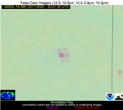
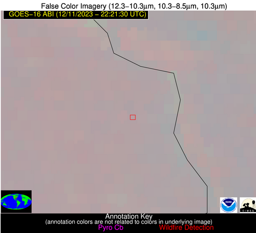
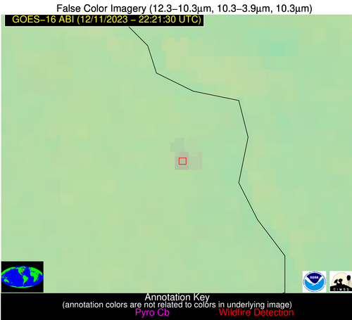
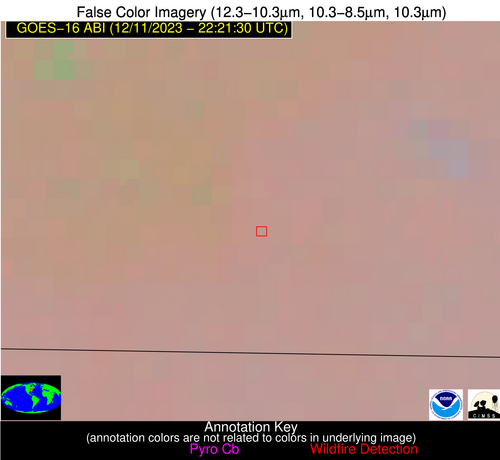
Wildfire Alert Report
| Date: | 2023-12-11 |
|---|---|
| Time: | 22:21:17 |
| Production Date and Time: | 2023-12-11 22:25:56 UTC |
| Primary Instrument: | GOES-16 ABI |
| Wmo Spacecraft Id: | 152 |
| Location/orbit: | GEO |
| L1 File: | OR_ABI-L1b-RadC-M6C14_G16_s20233452221170_e20233452223543_c20233452224030.nc |
| L1 File(s) - Temporal | OR_ABI-L1b-RadC-M6C14_G16_s20233452216170_e20233452218543_c20233452219029.nc |
| Number Of Thermal Anomaly Alerts: | 5 |
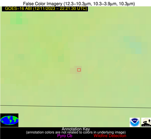
Possible Wildfire
| Basic Information | |
|---|---|
| State/Province(s) | IN |
| Country/Countries | USA |
| County/Locality(s) | DeKalb County, IN |
| NWS WFO | Northern Indiana IN |
| Identification Method | Enhanced Contextual (Clear) |
| Mean Object Date/Time | 2023-12-11 22:21:51UTC |
| Radiative Center (Lat, Lon): | 41.360000°, -84.920000° |
| Nearby Counties (meeting alert criteria): |
|
| Total Radiative Power Anomaly | n/a |
| Total Radiative Power | 3.81 MW |
| Map: | |
| Additional Information | |
| Alert Status | New Feature |
| Type of Event | Ferrous-metal |
| Event Priority Ranking | 5 |
| Maximum Observed BT (3.9 um) | 271.80 K |
| Observed - Background BT (3.9 um) | 4.85 K |
| BT Anomaly (3.9 um) | 5.31 K |
| Maximum Observed - Clear RTM BT (3.9 um) | 2.23 K |
| Maximum Observed BTD (3.9-10/11/12 um) | 3.61 K |
| Observed - Background BTD (3.9-10/11/12 um) | 4.06 K |
| BTD Anomaly (3.9-10/11/12 um) | 13.01 K |
| Similar Pixel Count | 1 |
| BT Time Tendency (3.9 um) | 0.80 K |
| Image Interval | 5.00 minutes |
| Fraction of Surrounding LWIR Pixels that are Colder | 0.88 |
| Fraction of Surrounding Red Channel Pixels that are Brighter | 1.00 |
| Maximum Radiative Power | 3.81 MW |
| Maximum Radiative Power Uncertainty | 0.00 MW |
| Total Radiative Power Uncertainty | 0.00 MW |
| Mean Viewing Angle | 49.10° |
| Mean Solar Zenith Angle | 92.60° |
| Mean Glint Angle | 102.20° |
| Water Fraction | 0.00 |
| Total Pixel Area | 6.90 km2 |
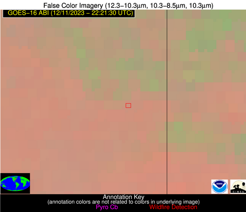
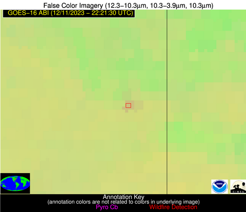
| Latest Satellite Imagery: | |
| View all event imagery » | |
Possible Wildfire
| Basic Information | |
|---|---|
| State/Province(s) | KY |
| Country/Countries | USA |
| County/Locality(s) | Clark County, KY |
| NWS WFO | Louisville KY |
| Identification Method | Enhanced Contextual (Clear) |
| Mean Object Date/Time | 2023-12-11 22:21:51UTC |
| Radiative Center (Lat, Lon): | 37.960000°, -84.280000° |
| Nearby Counties (meeting alert criteria): |
|
| Total Radiative Power Anomaly | n/a |
| Total Radiative Power | 56.22 MW |
| Map: | |
| Additional Information | |
| Alert Status | New Feature |
| Type of Event | Nominal Risk |
| Event Priority Ranking | 4 |
| Maximum Observed BT (3.9 um) | 291.44 K |
| Observed - Background BT (3.9 um) | 21.17 K |
| BT Anomaly (3.9 um) | 25.33 K |
| Maximum Observed - Clear RTM BT (3.9 um) | 19.81 K |
| Maximum Observed BTD (3.9-10/11/12 um) | 21.68 K |
| Observed - Background BTD (3.9-10/11/12 um) | 21.58 K |
| BTD Anomaly (3.9-10/11/12 um) | 91.12 K |
| Similar Pixel Count | 1 |
| BT Time Tendency (3.9 um) | 21.90 K |
| Image Interval | 5.00 minutes |
| Fraction of Surrounding LWIR Pixels that are Colder | 0.37 |
| Fraction of Surrounding Red Channel Pixels that are Brighter | 1.00 |
| Maximum Radiative Power | 56.22 MW |
| Maximum Radiative Power Uncertainty | 0.00 MW |
| Total Radiative Power Uncertainty | 0.00 MW |
| Mean Viewing Angle | 45.20° |
| Mean Solar Zenith Angle | 91.40° |
| Mean Glint Angle | 100.60° |
| Water Fraction | 0.00 |
| Total Pixel Area | 12.60 km2 |
| Latest Satellite Imagery: | |
| View all event imagery » | |
Possible Wildfire
| Basic Information | |
|---|---|
| State/Province(s) | KS |
| Country/Countries | USA |
| County/Locality(s) | Bourbon County, KS |
| NWS WFO | Springfield MO |
| Identification Method | Enhanced Contextual (Clear) |
| Mean Object Date/Time | 2023-12-11 22:21:50UTC |
| Radiative Center (Lat, Lon): | 38.030000°, -94.890000° |
| Nearby Counties (meeting alert criteria): |
|
| Total Radiative Power Anomaly | n/a |
| Total Radiative Power | 20.89 MW |
| Map: | |
| Additional Information | |
| Alert Status | New Feature |
| Type of Event | Nominal Risk |
| Event Priority Ranking | 4 |
| Maximum Observed BT (3.9 um) | 286.56 K |
| Observed - Background BT (3.9 um) | 8.54 K |
| BT Anomaly (3.9 um) | 31.11 K |
| Maximum Observed - Clear RTM BT (3.9 um) | 10.89 K |
| Maximum Observed BTD (3.9-10/11/12 um) | 8.82 K |
| Observed - Background BTD (3.9-10/11/12 um) | 8.07 K |
| BTD Anomaly (3.9-10/11/12 um) | 53.45 K |
| Similar Pixel Count | 1 |
| BT Time Tendency (3.9 um) | 6.40 K |
| Image Interval | 5.00 minutes |
| Fraction of Surrounding LWIR Pixels that are Colder | 0.87 |
| Fraction of Surrounding Red Channel Pixels that are Brighter | 1.00 |
| Maximum Radiative Power | 20.89 MW |
| Maximum Radiative Power Uncertainty | 0.00 MW |
| Total Radiative Power Uncertainty | 0.00 MW |
| Mean Viewing Angle | 48.90° |
| Mean Solar Zenith Angle | 84.30° |
| Mean Glint Angle | 89.80° |
| Water Fraction | 0.00 |
| Total Pixel Area | 14.10 km2 |
| Latest Satellite Imagery: | |
| View all event imagery » | |
Possible Wildfire
| Basic Information | |
|---|---|
| State/Province(s) | MO |
| Country/Countries | USA |
| County/Locality(s) | Cape Girardeau County, MO |
| NWS WFO | Paducah KY |
| Identification Method | Enhanced Contextual (Clear) |
| Mean Object Date/Time | 2023-12-11 22:21:51UTC |
| Radiative Center (Lat, Lon): | 37.590000°, -89.620000° |
| Nearby Counties (meeting alert criteria): |
|
| Total Radiative Power Anomaly | n/a |
| Total Radiative Power | 4.90 MW |
| Map: | |
| Additional Information | |
| Alert Status | New Feature |
| Type of Event | Nominal Risk |
| Event Priority Ranking | 4 |
| Maximum Observed BT (3.9 um) | 278.95 K |
| Observed - Background BT (3.9 um) | 3.68 K |
| BT Anomaly (3.9 um) | 9.64 K |
| Maximum Observed - Clear RTM BT (3.9 um) | 4.48 K |
| Maximum Observed BTD (3.9-10/11/12 um) | 4.21 K |
| Observed - Background BTD (3.9-10/11/12 um) | 3.80 K |
| BTD Anomaly (3.9-10/11/12 um) | 23.32 K |
| Similar Pixel Count | 1 |
| BT Time Tendency (3.9 um) | 0.20 K |
| Image Interval | 5.00 minutes |
| Fraction of Surrounding LWIR Pixels that are Colder | 0.39 |
| Fraction of Surrounding Red Channel Pixels that are Brighter | 1.00 |
| Maximum Radiative Power | 4.90 MW |
| Maximum Radiative Power Uncertainty | 0.00 MW |
| Total Radiative Power Uncertainty | 0.00 MW |
| Mean Viewing Angle | 46.40° |
| Mean Solar Zenith Angle | 87.60° |
| Mean Glint Angle | 94.50° |
| Water Fraction | 0.00 |
| Total Pixel Area | 6.50 km2 |
| Latest Satellite Imagery: | |
| View all event imagery » | |
Possible Wildfire
| Basic Information | |
|---|---|
| State/Province(s) | VA |
| Country/Countries | USA |
| County/Locality(s) | Patrick County, VA |
| NWS WFO | Blacksburg VA |
| Identification Method | Enhanced Contextual (Clear) |
| Mean Object Date/Time | 2023-12-11 22:21:52UTC |
| Radiative Center (Lat, Lon): | 36.710000°, -80.300000° |
| Nearby Counties (meeting alert criteria): |
|
| Total Radiative Power Anomaly | n/a |
| Total Radiative Power | 2.16 MW |
| Map: | |
| Additional Information | |
| Alert Status | New Feature |
| Type of Event | Nominal Risk |
| Event Priority Ranking | 4 |
| Maximum Observed BT (3.9 um) | 273.01 K |
| Observed - Background BT (3.9 um) | 2.13 K |
| BT Anomaly (3.9 um) | 1.95 K |
| Maximum Observed - Clear RTM BT (3.9 um) | 3.35 K |
| Maximum Observed BTD (3.9-10/11/12 um) | 2.40 K |
| Observed - Background BTD (3.9-10/11/12 um) | 2.35 K |
| BTD Anomaly (3.9-10/11/12 um) | 19.87 K |
| Similar Pixel Count | 1 |
| BT Time Tendency (3.9 um) | 0.10 K |
| Image Interval | 5.00 minutes |
| Fraction of Surrounding LWIR Pixels that are Colder | 0.37 |
| Fraction of Surrounding Red Channel Pixels that are Brighter | 1.00 |
| Maximum Radiative Power | 2.16 MW |
| Maximum Radiative Power Uncertainty | 0.00 MW |
| Total Radiative Power Uncertainty | 0.00 MW |
| Mean Viewing Angle | 43.10° |
| Mean Solar Zenith Angle | 93.70° |
| Mean Glint Angle | 104.50° |
| Water Fraction | 0.00 |
| Total Pixel Area | 6.00 km2 |
| Latest Satellite Imagery: | |
| View all event imagery » | |
