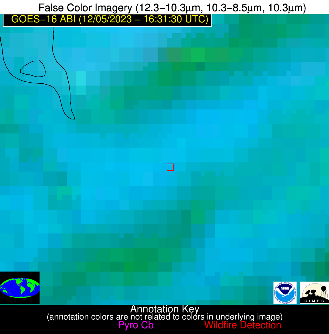
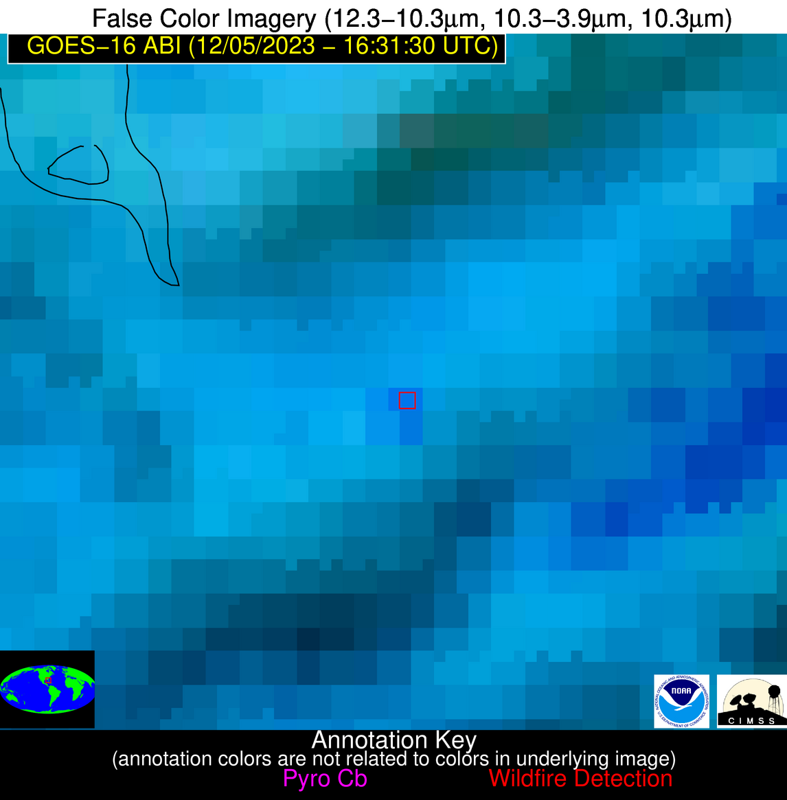
Wildfire Alert Report
| Date: | 2023-12-05 |
|---|---|
| Time: | 16:31:17 |
| Production Date and Time: | 2023-12-05 16:36:01 UTC |
| Primary Instrument: | GOES-16 ABI |
| Wmo Spacecraft Id: | 152 |
| Location/orbit: | GEO |
| L1 File: | OR_ABI-L1b-RadC-M6C14_G16_s20233391631173_e20233391633546_c20233391634043.nc |
| L1 File(s) - Temporal | OR_ABI-L1b-RadC-M6C14_G16_s20233391626173_e20233391628546_c20233391629032.nc |
| Number Of Thermal Anomaly Alerts: | 3 |
Possible Wildfire
| Basic Information | |
|---|---|
| State/Province(s) | SC |
| Country/Countries | USA |
| County/Locality(s) | Greenville County, SC |
| NWS WFO | Greenville-Spartanburg SC |
| Identification Method | Enhanced Contextual (Clear) |
| Mean Object Date/Time | 2023-12-05 16:32:22UTC |
| Radiative Center (Lat, Lon): | 34.980000°, -82.460000° |
| Nearby Counties (meeting alert criteria): |
|
| Total Radiative Power Anomaly | n/a |
| Total Radiative Power | 7.30 MW |
| Map: | |
| Additional Information | |
| Alert Status | New Feature |
| Type of Event | Nominal Risk |
| Event Priority Ranking | 4 |
| Maximum Observed BT (3.9 um) | 295.43 K |
| Observed - Background BT (3.9 um) | 3.23 K |
| BT Anomaly (3.9 um) | 2.09 K |
| Maximum Observed - Clear RTM BT (3.9 um) | 13.42 K |
| Maximum Observed BTD (3.9-10/11/12 um) | 9.59 K |
| Observed - Background BTD (3.9-10/11/12 um) | 3.06 K |
| BTD Anomaly (3.9-10/11/12 um) | 5.44 K |
| Similar Pixel Count | 14 |
| BT Time Tendency (3.9 um) | 1.20 K |
| Image Interval | 5.00 minutes |
| Fraction of Surrounding LWIR Pixels that are Colder | 0.62 |
| Fraction of Surrounding Red Channel Pixels that are Brighter | 0.99 |
| Maximum Radiative Power | 7.30 MW |
| Maximum Radiative Power Uncertainty | 0.00 MW |
| Total Radiative Power Uncertainty | 0.00 MW |
| Mean Viewing Angle | 41.60° |
| Mean Solar Zenith Angle | 58.20° |
| Mean Glint Angle | 99.80° |
| Water Fraction | 0.00 |
| Total Pixel Area | 5.80 km2 |
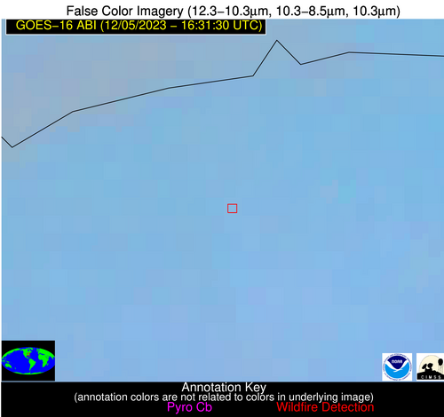
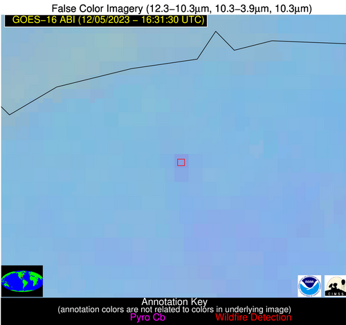
| Latest Satellite Imagery: | |
| View all event imagery » | |
Possible Wildfire
| Basic Information | |
|---|---|
| State/Province(s) | OK |
| Country/Countries | USA |
| County/Locality(s) | Washita County, OK |
| NWS WFO | Norman OK |
| Identification Method | Enhanced Contextual (Clear) |
| Mean Object Date/Time | 2023-12-05 16:32:20UTC |
| Radiative Center (Lat, Lon): | 35.320000°, -99.300000° |
| Nearby Counties (meeting alert criteria): |
|
| Total Radiative Power Anomaly | n/a |
| Total Radiative Power | 17.51 MW |
| Map: | |
| Additional Information | |
| Alert Status | New Feature |
| Type of Event | Nominal Risk |
| Event Priority Ranking | 4 |
| Maximum Observed BT (3.9 um) | 297.76 K |
| Observed - Background BT (3.9 um) | 5.95 K |
| BT Anomaly (3.9 um) | 5.51 K |
| Maximum Observed - Clear RTM BT (3.9 um) | 13.77 K |
| Maximum Observed BTD (3.9-10/11/12 um) | 14.14 K |
| Observed - Background BTD (3.9-10/11/12 um) | 6.01 K |
| BTD Anomaly (3.9-10/11/12 um) | 8.02 K |
| Similar Pixel Count | 3 |
| BT Time Tendency (3.9 um) | 6.80 K |
| Image Interval | 5.00 minutes |
| Fraction of Surrounding LWIR Pixels that are Colder | 0.44 |
| Fraction of Surrounding Red Channel Pixels that are Brighter | 1.00 |
| Maximum Radiative Power | 17.51 MW |
| Maximum Radiative Power Uncertainty | 0.00 MW |
| Total Radiative Power Uncertainty | 0.00 MW |
| Mean Viewing Angle | 48.60° |
| Mean Solar Zenith Angle | 63.70° |
| Mean Glint Angle | 111.90° |
| Water Fraction | 0.00 |
| Total Pixel Area | 7.10 km2 |
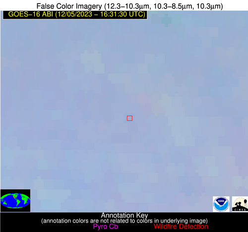
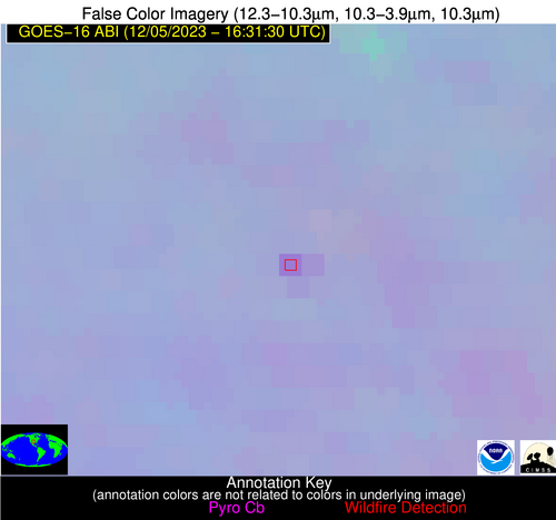
| Latest Satellite Imagery: | |
| View all event imagery » | |
Possible Wildfire
| Basic Information | |
|---|---|
| State/Province(s) | FL |
| Country/Countries | USA |
| County/Locality(s) | Osceola County, FL |
| NWS WFO | Melbourne FL |
| Identification Method | Enhanced Contextual (Clear) |
| Mean Object Date/Time | 2023-12-05 16:32:52UTC |
| Radiative Center (Lat, Lon): | 27.690000°, -81.020000° |
| Nearby Counties (meeting alert criteria): |
|
| Total Radiative Power Anomaly | n/a |
| Total Radiative Power | 18.09 MW |
| Map: | |
| Additional Information | |
| Alert Status | New Feature |
| Type of Event | Nominal Risk |
| Event Priority Ranking | 4 |
| Maximum Observed BT (3.9 um) | 303.39 K |
| Observed - Background BT (3.9 um) | 7.40 K |
| BT Anomaly (3.9 um) | 6.12 K |
| Maximum Observed - Clear RTM BT (3.9 um) | 12.26 K |
| Maximum Observed BTD (3.9-10/11/12 um) | 19.20 K |
| Observed - Background BTD (3.9-10/11/12 um) | 6.99 K |
| BTD Anomaly (3.9-10/11/12 um) | 7.02 K |
| Similar Pixel Count | 17 |
| BT Time Tendency (3.9 um) | 2.40 K |
| Image Interval | 5.00 minutes |
| Fraction of Surrounding LWIR Pixels that are Colder | 0.91 |
| Fraction of Surrounding Red Channel Pixels that are Brighter | 1.00 |
| Maximum Radiative Power | 18.09 MW |
| Maximum Radiative Power Uncertainty | 0.00 MW |
| Total Radiative Power Uncertainty | 0.00 MW |
| Mean Viewing Angle | 33.10° |
| Mean Solar Zenith Angle | 50.90° |
| Mean Glint Angle | 84.00° |
| Water Fraction | 0.00 |
| Total Pixel Area | 5.10 km2 |
| Latest Satellite Imagery: | |
| View all event imagery » | |
