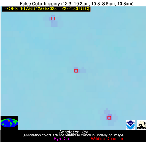
Wildfire Alert Report
| Date: | 2023-12-04 |
|---|---|
| Time: | 22:01:17 |
| Production Date and Time: | 2023-12-04 22:05:49 UTC |
| Primary Instrument: | GOES-16 ABI |
| Wmo Spacecraft Id: | 152 |
| Location/orbit: | GEO |
| L1 File: | OR_ABI-L1b-RadC-M6C14_G16_s20233382201173_e20233382203545_c20233382204045.nc |
| L1 File(s) - Temporal | OR_ABI-L1b-RadC-M6C14_G16_s20233382156173_e20233382158545_c20233382159008.nc |
| Number Of Thermal Anomaly Alerts: | 4 |
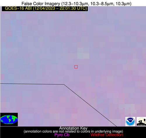
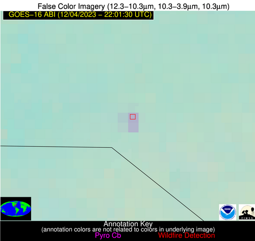
Possible Wildfire
| Basic Information | |
|---|---|
| State/Province(s) | NC |
| Country/Countries | USA |
| County/Locality(s) | Richmond County, NC |
| NWS WFO | Raleigh NC |
| Identification Method | Enhanced Contextual (Clear) |
| Mean Object Date/Time | 2023-12-04 22:02:22UTC |
| Radiative Center (Lat, Lon): | 34.880000°, -79.630000° |
| Nearby Counties (meeting alert criteria): |
|
| Total Radiative Power Anomaly | n/a |
| Total Radiative Power | 18.11 MW |
| Map: | |
| Additional Information | |
| Alert Status | New Feature |
| Type of Event | Nominal Risk |
| Event Priority Ranking | 4 |
| Maximum Observed BT (3.9 um) | 288.73 K |
| Observed - Background BT (3.9 um) | 6.01 K |
| BT Anomaly (3.9 um) | 14.12 K |
| Maximum Observed - Clear RTM BT (3.9 um) | 3.23 K |
| Maximum Observed BTD (3.9-10/11/12 um) | 6.41 K |
| Observed - Background BTD (3.9-10/11/12 um) | 5.79 K |
| BTD Anomaly (3.9-10/11/12 um) | 26.41 K |
| Similar Pixel Count | 2 |
| BT Time Tendency (3.9 um) | 5.20 K |
| Image Interval | 5.00 minutes |
| Fraction of Surrounding LWIR Pixels that are Colder | 0.71 |
| Fraction of Surrounding Red Channel Pixels that are Brighter | 1.00 |
| Maximum Radiative Power | 9.61 MW |
| Maximum Radiative Power Uncertainty | 0.00 MW |
| Total Radiative Power Uncertainty | 0.00 MW |
| Mean Viewing Angle | 41.00° |
| Mean Solar Zenith Angle | 89.70° |
| Mean Glint Angle | 102.50° |
| Water Fraction | 0.00 |
| Total Pixel Area | 11.50 km2 |
| Latest Satellite Imagery: | |
| View all event imagery » | |
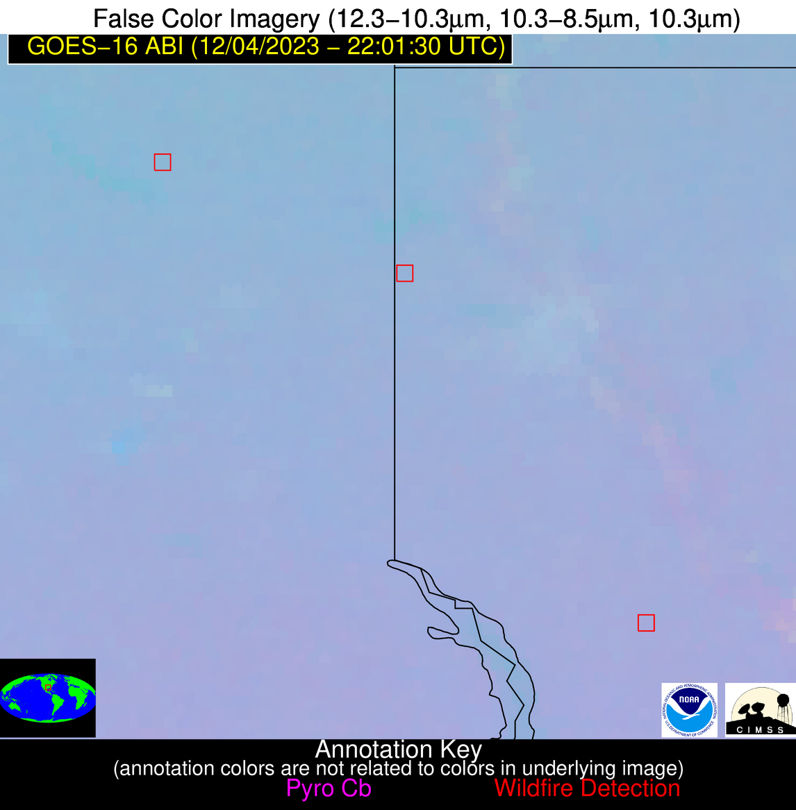
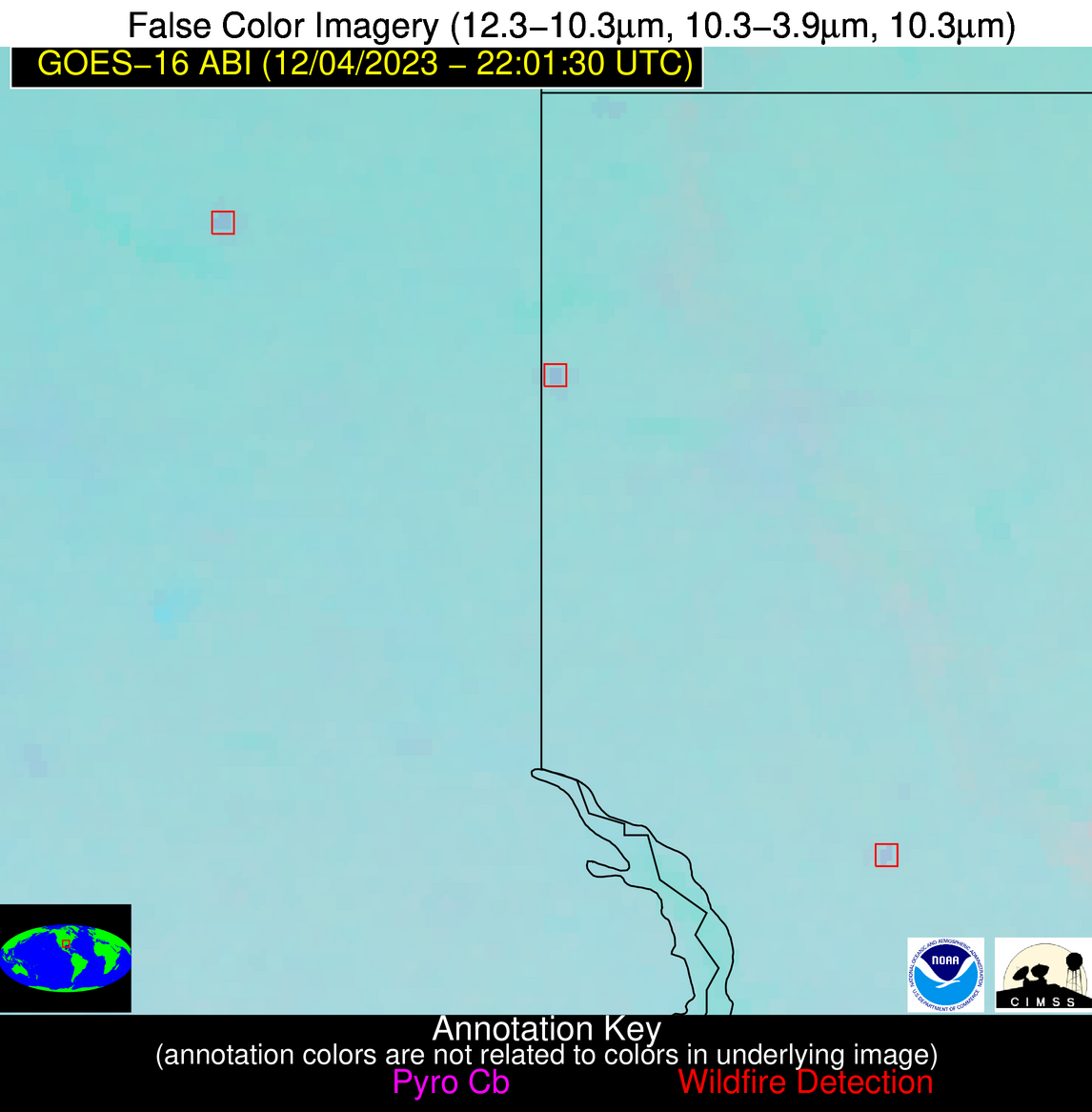
Possible Wildfire
| Basic Information | |
|---|---|
| State/Province(s) | TX |
| Country/Countries | USA |
| County/Locality(s) | Marion County, TX |
| NWS WFO | Shreveport LA |
| Identification Method | Enhanced Contextual (Clear) |
| Mean Object Date/Time | 2023-12-04 22:02:20UTC |
| Radiative Center (Lat, Lon): | 32.820000°, -94.500000° |
| Nearby Counties (meeting alert criteria): |
|
| Total Radiative Power Anomaly | n/a |
| Total Radiative Power | 6.08 MW |
| Map: | |
| Additional Information | |
| Alert Status | New Feature |
| Type of Event | Nominal Risk |
| Event Priority Ranking | 4 |
| Maximum Observed BT (3.9 um) | 288.80 K |
| Observed - Background BT (3.9 um) | 3.37 K |
| BT Anomaly (3.9 um) | 33.68 K |
| Maximum Observed - Clear RTM BT (3.9 um) | 8.31 K |
| Maximum Observed BTD (3.9-10/11/12 um) | 5.35 K |
| Observed - Background BTD (3.9-10/11/12 um) | 3.41 K |
| BTD Anomaly (3.9-10/11/12 um) | 23.56 K |
| Similar Pixel Count | 1 |
| BT Time Tendency (3.9 um) | 0.60 K |
| Image Interval | 5.00 minutes |
| Fraction of Surrounding LWIR Pixels that are Colder | 0.43 |
| Fraction of Surrounding Red Channel Pixels that are Brighter | 1.00 |
| Maximum Radiative Power | 6.08 MW |
| Maximum Radiative Power Uncertainty | 0.00 MW |
| Total Radiative Power Uncertainty | 0.00 MW |
| Mean Viewing Angle | 43.70° |
| Mean Solar Zenith Angle | 78.10° |
| Mean Glint Angle | 83.70° |
| Water Fraction | 0.00 |
| Total Pixel Area | 6.20 km2 |
| Latest Satellite Imagery: | |
| View all event imagery » | |
Possible Wildfire
| Basic Information | |
|---|---|
| State/Province(s) | LA |
| Country/Countries | USA |
| County/Locality(s) | De Soto Parish, LA |
| NWS WFO | Shreveport LA |
| Identification Method | Enhanced Contextual (Clear) |
| Mean Object Date/Time | 2023-12-04 22:02:20UTC |
| Radiative Center (Lat, Lon): | 31.870000°, -93.560000° |
| Nearby Counties (meeting alert criteria): |
|
| Total Radiative Power Anomaly | n/a |
| Total Radiative Power | 5.87 MW |
| Map: | |
| Additional Information | |
| Alert Status | New Feature |
| Type of Event | Nominal Risk |
| Event Priority Ranking | 4 |
| Maximum Observed BT (3.9 um) | 289.54 K |
| Observed - Background BT (3.9 um) | 3.11 K |
| BT Anomaly (3.9 um) | 31.01 K |
| Maximum Observed - Clear RTM BT (3.9 um) | 7.33 K |
| Maximum Observed BTD (3.9-10/11/12 um) | 4.51 K |
| Observed - Background BTD (3.9-10/11/12 um) | 3.29 K |
| BTD Anomaly (3.9-10/11/12 um) | 22.43 K |
| Similar Pixel Count | 1 |
| BT Time Tendency (3.9 um) | 0.60 K |
| Image Interval | 5.00 minutes |
| Fraction of Surrounding LWIR Pixels that are Colder | 0.28 |
| Fraction of Surrounding Red Channel Pixels that are Brighter | 1.00 |
| Maximum Radiative Power | 5.87 MW |
| Maximum Radiative Power Uncertainty | 0.00 MW |
| Total Radiative Power Uncertainty | 0.00 MW |
| Mean Viewing Angle | 42.30° |
| Mean Solar Zenith Angle | 78.20° |
| Mean Glint Angle | 83.50° |
| Water Fraction | 0.00 |
| Total Pixel Area | 6.00 km2 |
| Latest Satellite Imagery: | |
| View all event imagery » | |
Possible Wildfire
| Basic Information | |
|---|---|
| State/Province(s) | TX |
| Country/Countries | USA |
| County/Locality(s) | Comanche County, TX |
| NWS WFO | Fort Worth TX |
| Identification Method | Enhanced Contextual (Clear) |
| Mean Object Date/Time | 2023-12-04 22:02:20UTC |
| Radiative Center (Lat, Lon): | 31.900000°, -98.650000° |
| Nearby Counties (meeting alert criteria): |
|
| Total Radiative Power Anomaly | n/a |
| Total Radiative Power | 9.88 MW |
| Map: | |
| Additional Information | |
| Alert Status | New Feature |
| Type of Event | Nominal Risk |
| Event Priority Ranking | 4 |
| Maximum Observed BT (3.9 um) | 293.11 K |
| Observed - Background BT (3.9 um) | 4.30 K |
| BT Anomaly (3.9 um) | 8.95 K |
| Maximum Observed - Clear RTM BT (3.9 um) | 9.96 K |
| Maximum Observed BTD (3.9-10/11/12 um) | 7.17 K |
| Observed - Background BTD (3.9-10/11/12 um) | 4.59 K |
| BTD Anomaly (3.9-10/11/12 um) | 16.79 K |
| Similar Pixel Count | 1 |
| BT Time Tendency (3.9 um) | 0.20 K |
| Image Interval | 5.00 minutes |
| Fraction of Surrounding LWIR Pixels that are Colder | 0.08 |
| Fraction of Surrounding Red Channel Pixels that are Brighter | 1.00 |
| Maximum Radiative Power | 9.88 MW |
| Maximum Radiative Power Uncertainty | 0.00 MW |
| Total Radiative Power Uncertainty | 0.00 MW |
| Mean Viewing Angle | 45.20° |
| Mean Solar Zenith Angle | 74.80° |
| Mean Glint Angle | 78.90° |
| Water Fraction | 0.00 |
| Total Pixel Area | 6.50 km2 |
| Latest Satellite Imagery: | |
| View all event imagery » | |
