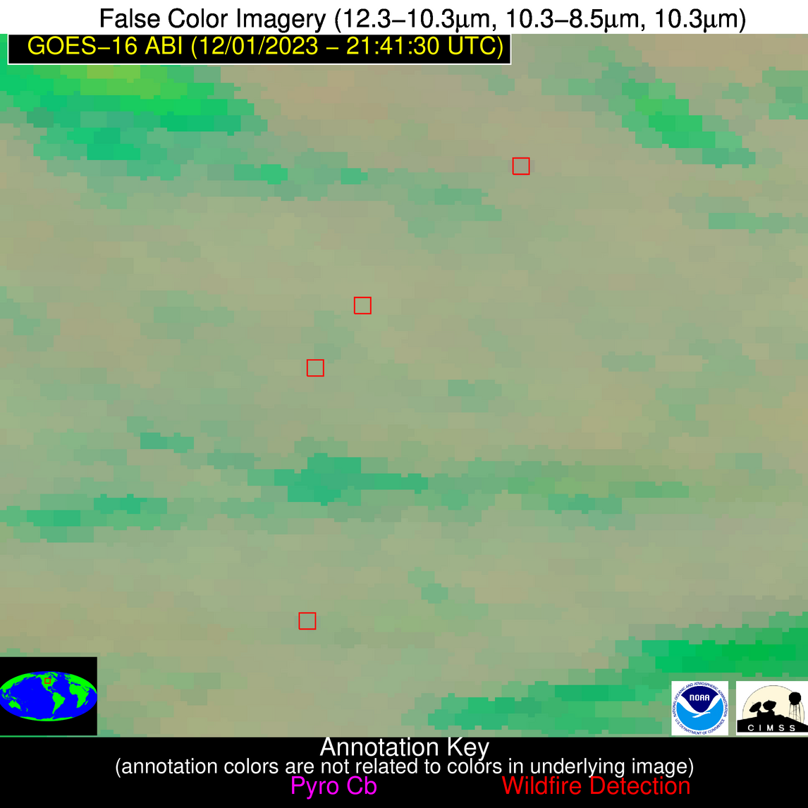
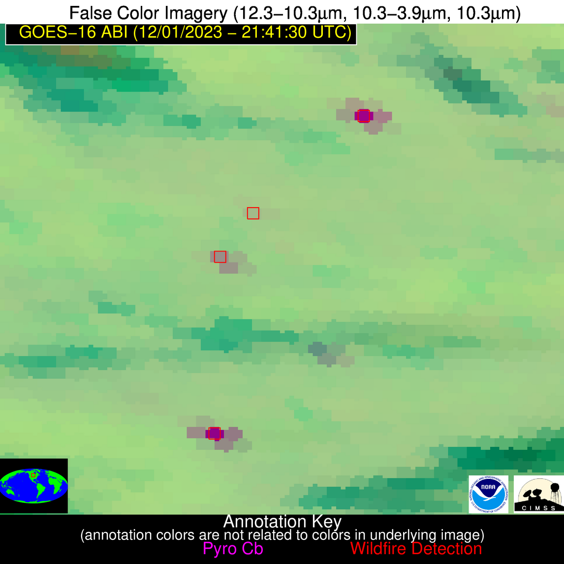
Wildfire Alert Report
| Date: | 2023-12-01 |
|---|---|
| Time: | 21:41:17 |
| Production Date and Time: | 2023-12-01 21:45:47 UTC |
| Primary Instrument: | GOES-16 ABI |
| Wmo Spacecraft Id: | 152 |
| Location/orbit: | GEO |
| L1 File: | OR_ABI-L1b-RadC-M6C14_G16_s20233352141171_e20233352143544_c20233352144038.nc |
| L1 File(s) - Temporal | OR_ABI-L1b-RadC-M6C14_G16_s20233352136171_e20233352138544_c20233352139036.nc |
| Number Of Thermal Anomaly Alerts: | 2 |
Possible Wildfire
| Basic Information | |
|---|---|
| State/Province(s) | ND |
| Country/Countries | USA |
| County/Locality(s) | Griggs County, ND |
| NWS WFO | Grand Forks ND |
| Identification Method | Enhanced Contextual (Cloud) |
| Mean Object Date/Time | 2023-12-01 21:41:20UTC |
| Radiative Center (Lat, Lon): | 47.620°, -98.220° |
| Nearby Counties (meeting alert criteria): |
|
| Total Radiative Power Anomaly | n/a |
| Total Radiative Power | 85.07 MW |
| Map: | |
| Additional Information | |
| Alert Status | New Feature |
| Type of Event | Nominal Risk |
| Event Priority Ranking | 4 |
| Maximum Observed BT (3.9 um) | 302.08 K |
| Observed - Background BT (3.9 um) | 31.22 K |
| BT Anomaly (3.9 um) | 26.40 K |
| Maximum Observed - Clear RTM BT (3.9 um) | 34.04 K |
| Maximum Observed BTD (3.9-10/11/12 um) | 33.24 K |
| Observed - Background BTD (3.9-10/11/12 um) | 30.66 K |
| BTD Anomaly (3.9-10/11/12 um) | 27.63 K |
| Similar Pixel Count | 0 |
| BT Time Tendency (3.9 um) | 24.60 K |
| Image Interval | 5.00 minutes |
| Fraction of Surrounding LWIR Pixels that are Colder | 0.80 |
| Fraction of Surrounding Red Channel Pixels that are Brighter | 0.89 |
| Maximum Radiative Power | 85.07 MW |
| Maximum Radiative Power Uncertainty | 0.00 MW |
| Total Radiative Power Uncertainty | 0.00 MW |
| Mean Viewing Angle | 59.50° |
| Mean Solar Zenith Angle | 82.40° |
| Mean Glint Angle | 98.10° |
| Water Fraction | 0.00 |
| Total Pixel Area | 10.00 km2 |
| Latest Satellite Imagery: | |
| View all event imagery » | |
Possible Wildfire
| Basic Information | |
|---|---|
| State/Province(s) | ND |
| Country/Countries | USA |
| County/Locality(s) | Stutsman County, ND |
| NWS WFO | Bismarck ND |
| Identification Method | Enhanced Contextual (Cloud) |
| Mean Object Date/Time | 2023-12-01 21:41:20UTC |
| Radiative Center (Lat, Lon): | 46.680°, -98.490° |
| Nearby Counties (meeting alert criteria): |
|
| Total Radiative Power Anomaly | n/a |
| Total Radiative Power | 73.20 MW |
| Map: | |
| Additional Information | |
| Alert Status | New Feature |
| Type of Event | Nominal Risk |
| Event Priority Ranking | 4 |
| Maximum Observed BT (3.9 um) | 299.92 K |
| Observed - Background BT (3.9 um) | 28.72 K |
| BT Anomaly (3.9 um) | 22.53 K |
| Maximum Observed - Clear RTM BT (3.9 um) | 31.35 K |
| Maximum Observed BTD (3.9-10/11/12 um) | 31.34 K |
| Observed - Background BTD (3.9-10/11/12 um) | 28.32 K |
| BTD Anomaly (3.9-10/11/12 um) | 23.59 K |
| Similar Pixel Count | 0 |
| BT Time Tendency (3.9 um) | 24.00 K |
| Image Interval | 5.00 minutes |
| Fraction of Surrounding LWIR Pixels that are Colder | 0.64 |
| Fraction of Surrounding Red Channel Pixels that are Brighter | 0.82 |
| Maximum Radiative Power | 73.20 MW |
| Maximum Radiative Power Uncertainty | 0.00 MW |
| Total Radiative Power Uncertainty | 0.00 MW |
| Mean Viewing Angle | 58.70° |
| Mean Solar Zenith Angle | 81.60° |
| Mean Glint Angle | 97.00° |
| Water Fraction | 0.00 |
| Total Pixel Area | 9.70 km2 |
| Latest Satellite Imagery: | |
| View all event imagery » | |


