Wildfire Alert Report
| Date: | 2023-12-01 |
|---|---|
| Time: | 21:11:17 |
| Production Date and Time: | 2023-12-01 21:15:52 UTC |
| Primary Instrument: | GOES-18 ABI |
| Wmo Spacecraft Id: | 665 |
| Location/orbit: | GEO |
| L1 File: | OR_ABI-L1b-RadC-M6C14_G18_s20233352111176_e20233352113550_c20233352114034.nc |
| L1 File(s) - Temporal | OR_ABI-L1b-RadC-M6C14_G18_s20233352106176_e20233352108550_c20233352109034.nc |
| Number Of Thermal Anomaly Alerts: | 2 |
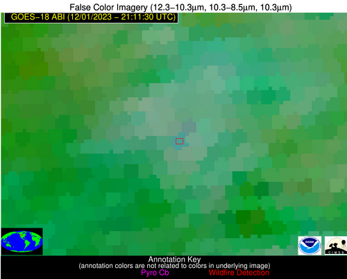
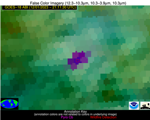
Possible Wildfire
| Basic Information | |
|---|---|
| State/Province(s) | MT |
| Country/Countries | USA |
| County/Locality(s) | Big Horn County, MT |
| NWS WFO | Billings MT |
| Identification Method | Enhanced Contextual (Cloud) |
| Mean Object Date/Time | 2023-12-01 21:11:24UTC |
| Radiative Center (Lat, Lon): | 45.820000°, -107.660000° |
| Nearby Counties (meeting alert criteria): |
|
| Total Radiative Power Anomaly | n/a |
| Total Radiative Power | 645.57 MW |
| Map: | |
| Additional Information | |
| Alert Status | New Feature |
| Type of Event | Nominal Risk |
| Event Priority Ranking | 4 |
| Maximum Observed BT (3.9 um) | 328.06 K |
| Observed - Background BT (3.9 um) | 50.86 K |
| BT Anomaly (3.9 um) | 44.26 K |
| Maximum Observed - Clear RTM BT (3.9 um) | 57.09 K |
| Maximum Observed BTD (3.9-10/11/12 um) | 58.24 K |
| Observed - Background BTD (3.9-10/11/12 um) | 48.14 K |
| BTD Anomaly (3.9-10/11/12 um) | 29.18 K |
| Similar Pixel Count | 0 |
| BT Time Tendency (3.9 um) | 44.20 K |
| Image Interval | 5.00 minutes |
| Fraction of Surrounding LWIR Pixels that are Colder | 1.00 |
| Fraction of Surrounding Red Channel Pixels that are Brighter | 1.00 |
| Maximum Radiative Power | 417.92 MW |
| Maximum Radiative Power Uncertainty | 0.00 MW |
| Total Radiative Power Uncertainty | 0.00 MW |
| Mean Viewing Angle | 60.50° |
| Mean Solar Zenith Angle | 73.70° |
| Mean Glint Angle | 133.80° |
| Water Fraction | 0.00 |
| Total Pixel Area | 65.00 km2 |
| Latest Satellite Imagery: | |
| View all event imagery » | |
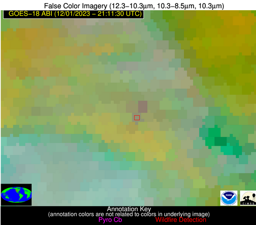
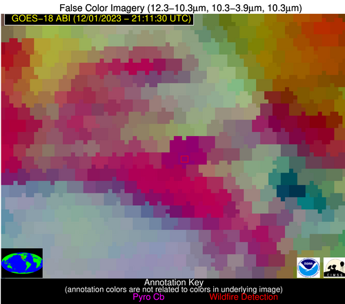
Possible Wildfire
| Basic Information | |
|---|---|
| State/Province(s) | UT |
| Country/Countries | USA |
| County/Locality(s) | Carbon County, UT |
| NWS WFO | Salt Lake City UT |
| Identification Method | Enhanced Contextual (Cloud) |
| Mean Object Date/Time | 2023-12-01 21:11:54UTC |
| Radiative Center (Lat, Lon): | 39.700000°, -110.380000° |
| Nearby Counties (meeting alert criteria): |
|
| Total Radiative Power Anomaly | n/a |
| Total Radiative Power | 442.04 MW |
| Map: | |
| Additional Information | |
| Alert Status | New Feature |
| Type of Event | Nominal Risk |
| Event Priority Ranking | 4 |
| Maximum Observed BT (3.9 um) | 335.60 K |
| Observed - Background BT (3.9 um) | 52.60 K |
| BT Anomaly (3.9 um) | 9.64 K |
| Maximum Observed - Clear RTM BT (3.9 um) | 72.59 K |
| Maximum Observed BTD (3.9-10/11/12 um) | 71.35 K |
| Observed - Background BTD (3.9-10/11/12 um) | 52.21 K |
| BTD Anomaly (3.9-10/11/12 um) | 7.42 K |
| Similar Pixel Count | 0 |
| BT Time Tendency (3.9 um) | 25.00 K |
| Image Interval | 5.00 minutes |
| Fraction of Surrounding LWIR Pixels that are Colder | 0.51 |
| Fraction of Surrounding Red Channel Pixels that are Brighter | 0.83 |
| Maximum Radiative Power | 442.04 MW |
| Maximum Radiative Power Uncertainty | 0.00 MW |
| Total Radiative Power Uncertainty | 0.00 MW |
| Mean Viewing Angle | 53.80° |
| Mean Solar Zenith Angle | 67.50° |
| Mean Glint Angle | 120.90° |
| Water Fraction | 0.00 |
| Total Pixel Area | 25.20 km2 |
| Latest Satellite Imagery: | |
| View all event imagery » | |


