Wildfire Alert Report
| Date: | 2023-11-30 |
|---|---|
| Time: | 21:26:17 |
| Production Date and Time: | 2023-11-30 21:30:48 UTC |
| Primary Instrument: | GOES-16 ABI |
| Wmo Spacecraft Id: | 152 |
| Location/orbit: | GEO |
| L1 File: | OR_ABI-L1b-RadC-M6C14_G16_s20233342126170_e20233342128543_c20233342129019.nc |
| L1 File(s) - Temporal | OR_ABI-L1b-RadC-M6C14_G16_s20233342121170_e20233342123543_c20233342124028.nc |
| Number Of Thermal Anomaly Alerts: | 6 |
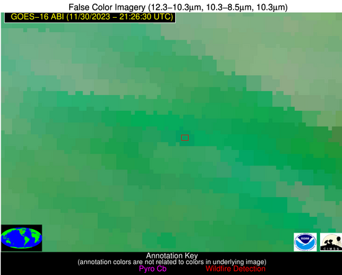
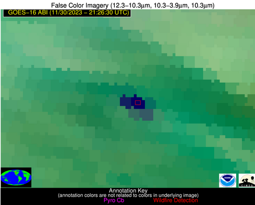
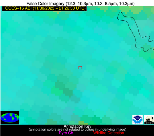
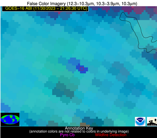
Possible Wildfire
| Basic Information | |
|---|---|
| State/Province(s) | MT |
| Country/Countries | USA |
| County/Locality(s) | Yellowstone County, MT |
| NWS WFO | Billings MT |
| Identification Method | Enhanced Contextual (Cloud) |
| Mean Object Date/Time | 2023-11-30 21:26:19UTC |
| Radiative Center (Lat, Lon): | 46.140000°, -107.610000° |
| Nearby Counties (meeting alert criteria): |
|
| Total Radiative Power Anomaly | n/a |
| Total Radiative Power | 121.94 MW |
| Map: | |
| Additional Information | |
| Alert Status | New Feature |
| Type of Event | Nominal Risk |
| Event Priority Ranking | 4 |
| Maximum Observed BT (3.9 um) | 295.38 K |
| Observed - Background BT (3.9 um) | 24.37 K |
| BT Anomaly (3.9 um) | 35.62 K |
| Maximum Observed - Clear RTM BT (3.9 um) | 25.98 K |
| Maximum Observed BTD (3.9-10/11/12 um) | 37.81 K |
| Observed - Background BTD (3.9-10/11/12 um) | 23.93 K |
| BTD Anomaly (3.9-10/11/12 um) | 23.06 K |
| Similar Pixel Count | 0 |
| BT Time Tendency (3.9 um) | 18.40 K |
| Image Interval | 5.00 minutes |
| Fraction of Surrounding LWIR Pixels that are Colder | 0.46 |
| Fraction of Surrounding Red Channel Pixels that are Brighter | 0.87 |
| Maximum Radiative Power | 77.79 MW |
| Maximum Radiative Power Uncertainty | 0.00 MW |
| Total Radiative Power Uncertainty | 0.00 MW |
| Mean Viewing Angle | 62.30° |
| Mean Solar Zenith Angle | 75.30° |
| Mean Glint Angle | 94.50° |
| Water Fraction | 0.00 |
| Total Pixel Area | 24.10 km2 |
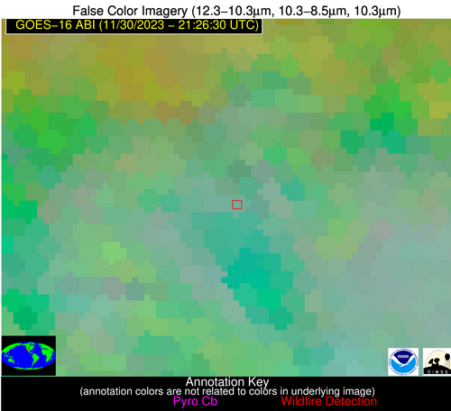
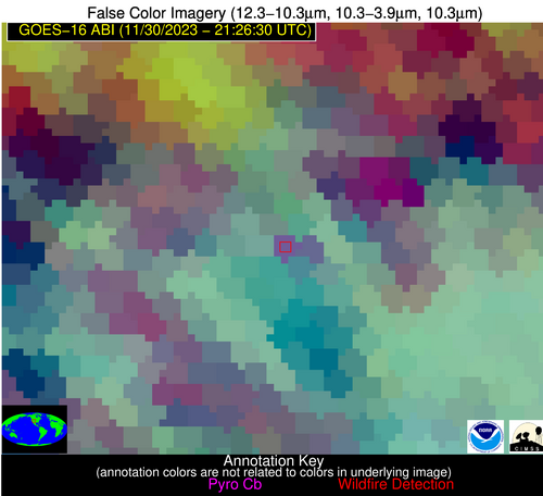
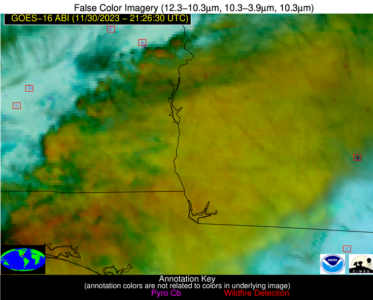
| Latest Satellite Imagery: | |
| View all event imagery » | |
Possible Wildfire
| Basic Information | |
|---|---|
| State/Province(s) | CA |
| Country/Countries | USA |
| County/Locality(s) | Butte County, CA |
| NWS WFO | Sacramento CA |
| Identification Method | Enhanced Contextual (Cloud) |
| Mean Object Date/Time | 2023-11-30 21:26:48UTC |
| Radiative Center (Lat, Lon): | 39.450000°, -121.720000° |
| Nearby Counties (meeting alert criteria): |
|
| Total Radiative Power Anomaly | n/a |
| Total Radiative Power | 72.25 MW |
| Map: | |
| Additional Information | |
| Alert Status | New Feature |
| Type of Event | Nominal Risk |
| Event Priority Ranking | 4 |
| Maximum Observed BT (3.9 um) | 302.24 K |
| Observed - Background BT (3.9 um) | 14.11 K |
| BT Anomaly (3.9 um) | 8.80 K |
| Maximum Observed - Clear RTM BT (3.9 um) | 21.34 K |
| Maximum Observed BTD (3.9-10/11/12 um) | 23.40 K |
| Observed - Background BTD (3.9-10/11/12 um) | 14.14 K |
| BTD Anomaly (3.9-10/11/12 um) | 9.50 K |
| Similar Pixel Count | 0 |
| BT Time Tendency (3.9 um) | 13.10 K |
| Image Interval | 5.00 minutes |
| Fraction of Surrounding LWIR Pixels that are Colder | 0.58 |
| Fraction of Surrounding Red Channel Pixels that are Brighter | 1.00 |
| Maximum Radiative Power | 72.25 MW |
| Maximum Radiative Power Uncertainty | 0.00 MW |
| Total Radiative Power Uncertainty | 0.00 MW |
| Mean Viewing Angle | 66.30° |
| Mean Solar Zenith Angle | 64.40° |
| Mean Glint Angle | 86.20° |
| Water Fraction | 0.00 |
| Total Pixel Area | 16.70 km2 |
| Latest Satellite Imagery: | |
| View all event imagery » | |
Possible Wildfire
| Basic Information | |
|---|---|
| State/Province(s) | CO |
| Country/Countries | USA |
| County/Locality(s) | La Plata County, CO |
| NWS WFO | Grand Junction CO |
| Identification Method | Enhanced Contextual (Clear) |
| Mean Object Date/Time | 2023-11-30 21:26:49UTC |
| Radiative Center (Lat, Lon): | 37.270000°, -107.550000° |
| Nearby Counties (meeting alert criteria): |
|
| Total Radiative Power Anomaly | n/a |
| Total Radiative Power | 24.75 MW |
| Map: | |
| Additional Information | |
| Alert Status | New Feature |
| Type of Event | Nominal Risk, Known Incident: SAULS CREEK 2 PILES RX (MEDIUM, tdiff=0.12447 days, POINT) |
| Event Priority Ranking | 4 |
| Maximum Observed BT (3.9 um) | 290.69 K |
| Observed - Background BT (3.9 um) | 12.31 K |
| BT Anomaly (3.9 um) | 7.38 K |
| Maximum Observed - Clear RTM BT (3.9 um) | 18.00 K |
| Maximum Observed BTD (3.9-10/11/12 um) | 19.55 K |
| Observed - Background BTD (3.9-10/11/12 um) | 12.57 K |
| BTD Anomaly (3.9-10/11/12 um) | 5.22 K |
| Similar Pixel Count | 7 |
| BT Time Tendency (3.9 um) | 4.80 K |
| Image Interval | 5.00 minutes |
| Fraction of Surrounding LWIR Pixels that are Colder | 0.80 |
| Fraction of Surrounding Red Channel Pixels that are Brighter | 0.88 |
| Maximum Radiative Power | 24.75 MW |
| Maximum Radiative Power Uncertainty | 0.00 MW |
| Total Radiative Power Uncertainty | 0.00 MW |
| Mean Viewing Angle | 55.20° |
| Mean Solar Zenith Angle | 68.20° |
| Mean Glint Angle | 82.90° |
| Water Fraction | 0.00 |
| Total Pixel Area | 9.10 km2 |
| Latest Satellite Imagery: | |
| View all event imagery » | |
Possible Wildfire
| Basic Information | |
|---|---|
| State/Province(s) | AL |
| Country/Countries | USA |
| County/Locality(s) | Macon County, AL |
| NWS WFO | Birmingham AL |
| Identification Method | Enhanced Contextual (Clear) |
| Mean Object Date/Time | 2023-11-30 21:27:21UTC |
| Radiative Center (Lat, Lon): | 32.380000°, -85.450000° |
| Nearby Counties (meeting alert criteria): |
|
| Total Radiative Power Anomaly | n/a |
| Total Radiative Power | 15.34 MW |
| Map: | |
| Additional Information | |
| Alert Status | New Feature |
| Type of Event | Nominal Risk |
| Event Priority Ranking | 4 |
| Maximum Observed BT (3.9 um) | 290.92 K |
| Observed - Background BT (3.9 um) | 9.43 K |
| BT Anomaly (3.9 um) | 21.21 K |
| Maximum Observed - Clear RTM BT (3.9 um) | 10.08 K |
| Maximum Observed BTD (3.9-10/11/12 um) | 13.90 K |
| Observed - Background BTD (3.9-10/11/12 um) | 10.73 K |
| BTD Anomaly (3.9-10/11/12 um) | 12.29 K |
| Similar Pixel Count | 7 |
| BT Time Tendency (3.9 um) | 0.90 K |
| Image Interval | 5.00 minutes |
| Fraction of Surrounding LWIR Pixels that are Colder | 0.80 |
| Fraction of Surrounding Red Channel Pixels that are Brighter | 1.00 |
| Maximum Radiative Power | 15.34 MW |
| Maximum Radiative Power Uncertainty | 0.00 MW |
| Total Radiative Power Uncertainty | 0.00 MW |
| Mean Viewing Angle | 39.50° |
| Mean Solar Zenith Angle | 77.90° |
| Mean Glint Angle | 90.90° |
| Water Fraction | 0.00 |
| Total Pixel Area | 5.60 km2 |
| Latest Satellite Imagery: | |
| View all event imagery » | |
Possible Wildfire
| Basic Information | |
|---|---|
| State/Province(s) | AL |
| Country/Countries | USA |
| County/Locality(s) | Butler County, AL |
| NWS WFO | Mobile AL |
| Identification Method | Enhanced Contextual (Clear) |
| Mean Object Date/Time | 2023-11-30 21:27:21UTC |
| Radiative Center (Lat, Lon): | 31.950000°, -86.650000° |
| Nearby Counties (meeting alert criteria): |
|
| Total Radiative Power Anomaly | n/a |
| Total Radiative Power | 22.77 MW |
| Map: | |
| Additional Information | |
| Alert Status | New Feature |
| Type of Event | Nominal Risk |
| Event Priority Ranking | 4 |
| Maximum Observed BT (3.9 um) | 290.69 K |
| Observed - Background BT (3.9 um) | 7.80 K |
| BT Anomaly (3.9 um) | 12.54 K |
| Maximum Observed - Clear RTM BT (3.9 um) | 10.15 K |
| Maximum Observed BTD (3.9-10/11/12 um) | 10.23 K |
| Observed - Background BTD (3.9-10/11/12 um) | 6.96 K |
| BTD Anomaly (3.9-10/11/12 um) | 9.47 K |
| Similar Pixel Count | 3 |
| BT Time Tendency (3.9 um) | 1.80 K |
| Image Interval | 5.00 minutes |
| Fraction of Surrounding LWIR Pixels that are Colder | 0.95 |
| Fraction of Surrounding Red Channel Pixels that are Brighter | 0.99 |
| Maximum Radiative Power | 12.57 MW |
| Maximum Radiative Power Uncertainty | 0.00 MW |
| Total Radiative Power Uncertainty | 0.00 MW |
| Mean Viewing Angle | 39.40° |
| Mean Solar Zenith Angle | 76.80° |
| Mean Glint Angle | 89.10° |
| Water Fraction | 0.00 |
| Total Pixel Area | 11.30 km2 |
| Latest Satellite Imagery: | |
| View all event imagery » | |
Possible Wildfire
| Basic Information | |
|---|---|
| State/Province(s) | FL |
| Country/Countries | USA |
| County/Locality(s) | Madison County, FL |
| NWS WFO | Tallahassee FL |
| Identification Method | Enhanced Contextual (Clear) |
| Mean Object Date/Time | 2023-11-30 21:27:21UTC |
| Radiative Center (Lat, Lon): | 30.470000°, -83.270000° |
| Nearby Counties (meeting alert criteria): |
|
| Total Radiative Power Anomaly | n/a |
| Total Radiative Power | 10.07 MW |
| Map: | |
| Additional Information | |
| Alert Status | New Feature |
| Type of Event | Nominal Risk |
| Event Priority Ranking | 4 |
| Maximum Observed BT (3.9 um) | 293.21 K |
| Observed - Background BT (3.9 um) | 5.71 K |
| BT Anomaly (3.9 um) | 6.35 K |
| Maximum Observed - Clear RTM BT (3.9 um) | 8.68 K |
| Maximum Observed BTD (3.9-10/11/12 um) | 8.92 K |
| Observed - Background BTD (3.9-10/11/12 um) | 5.35 K |
| BTD Anomaly (3.9-10/11/12 um) | 9.17 K |
| Similar Pixel Count | 1 |
| BT Time Tendency (3.9 um) | -0.60 K |
| Image Interval | 5.00 minutes |
| Fraction of Surrounding LWIR Pixels that are Colder | 0.62 |
| Fraction of Surrounding Red Channel Pixels that are Brighter | 1.00 |
| Maximum Radiative Power | 10.07 MW |
| Maximum Radiative Power Uncertainty | 0.00 MW |
| Total Radiative Power Uncertainty | 0.00 MW |
| Mean Viewing Angle | 36.80° |
| Mean Solar Zenith Angle | 78.40° |
| Mean Glint Angle | 91.10° |
| Water Fraction | 0.00 |
| Total Pixel Area | 5.40 km2 |
| Latest Satellite Imagery: | |
| View all event imagery » | |
