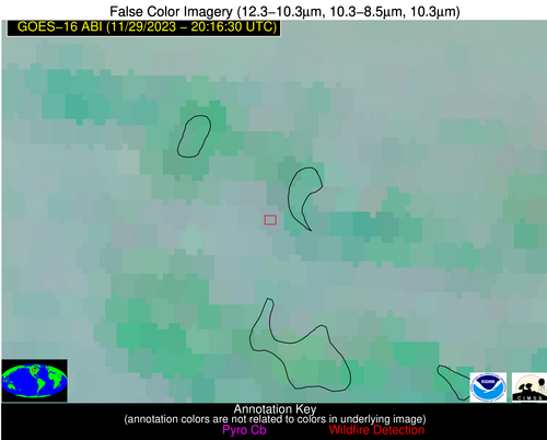
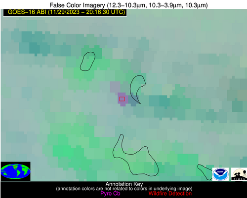
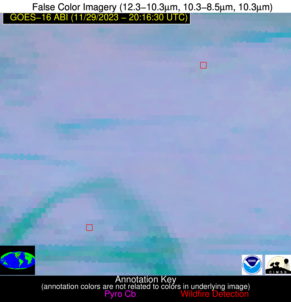
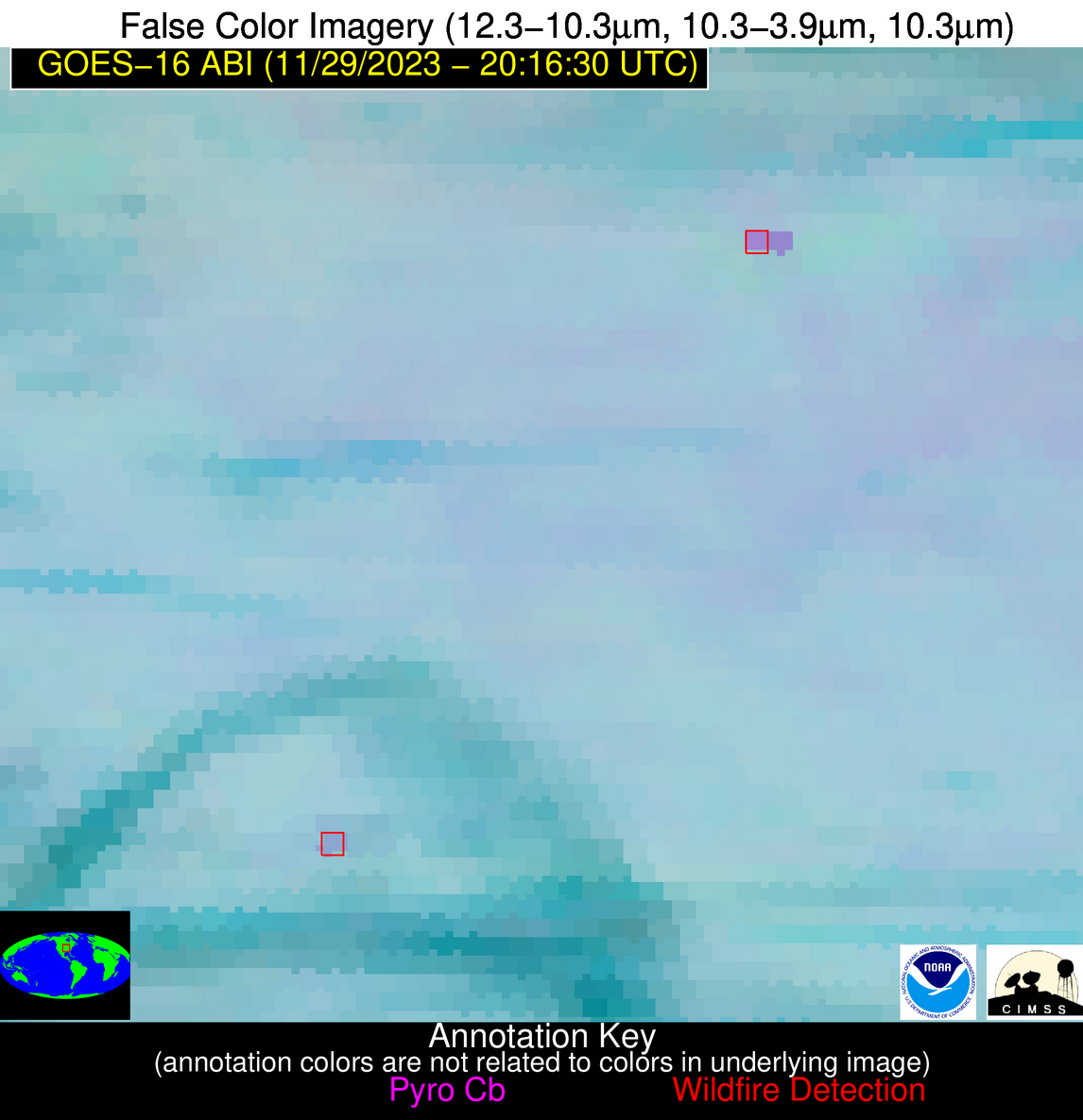
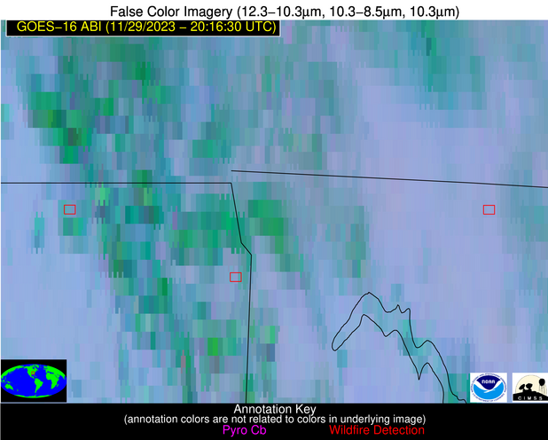
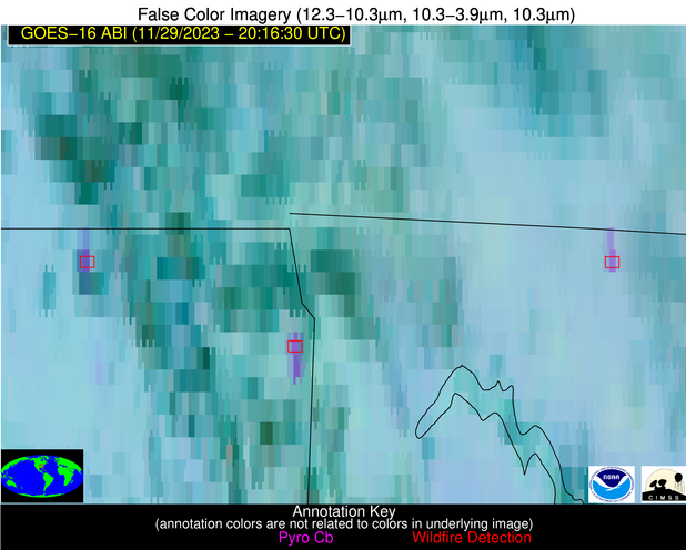
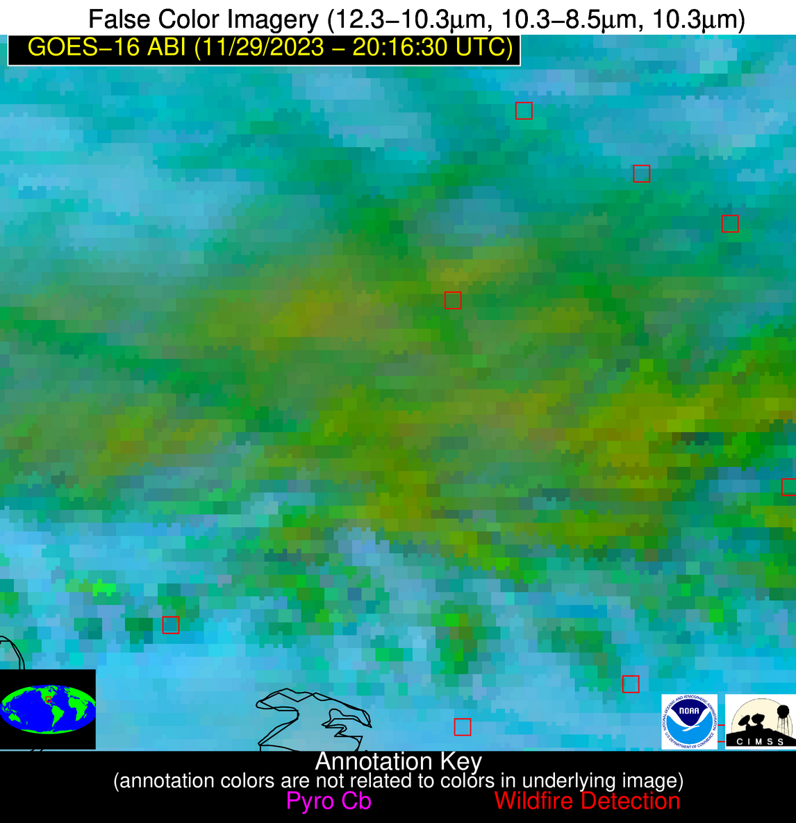
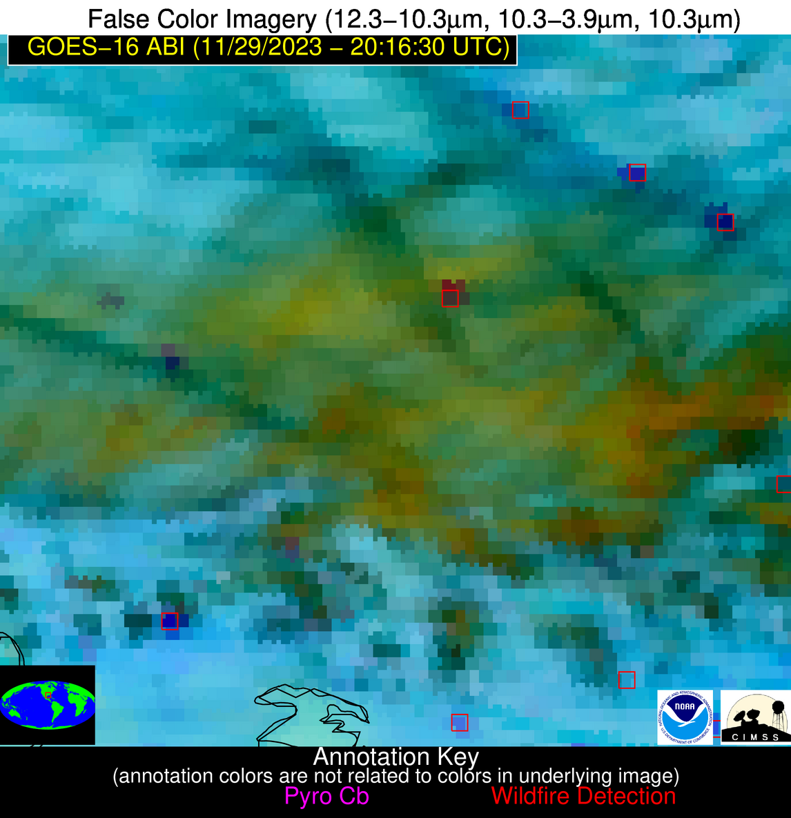
Please consider accessing NGFS detections and satellite imagery through the NOAA/NESDIS Wildland Fire Data Portal: https://fire.data.nesdis.noaa.gov/map/
Wildfire Notification Report
| Date: | 2023-11-29 |
|---|---|
| Time: | 20:16:17 |
| Production Date and Time: | 2023-11-29 20:25:32 UTC |
| Primary Instrument: | GOES-16 ABI |
| Wmo Spacecraft Id: | 152 |
| Location/orbit: | GEO |
| L1 File: | OR_ABI-L1b-RadC-M6C14_G16_s20233332016170_e20233332018543_c20233332019036.nc |
| L1 File(s) - Temporal | OR_ABI-L1b-RadC-M6C14_G16_s20233332011170_e20233332013543_c20233332014036.nc |
| Number Of Thermal Anomaly Notifications: | 9 |
Possible Wildfire
| Basic Information | |
|---|---|
| State/Province(s) | ND |
| Country/Countries | USA |
| County/Locality(s) | Ramsey County, ND |
| NWS WFO | Grand Forks ND |
| Identification Method | Enhanced Contextual (Clear) |
| Mean Object Date/Time | 2023-11-29 20:16:20UTC |
| Radiative Center (Lat, Lon): | 48.230000°, -99.010000° |
| Nearby Counties (meeting notification criteria): |
|
| Total Radiative Power Anomaly | n/a |
| Total Radiative Power | 35.33 MW |
| Map: | |
| Additional Information | |
| Notification Status | New Feature |
| Type of Event | Nominal Risk |
| Event Priority Ranking | 4 |
| Maximum Observed BT (3.9 um) | 290.63 K |
| Observed - Background BT (3.9 um) | 9.09 K |
| BT Anomaly (3.9 um) | 9.30 K |
| Maximum Observed - Clear RTM BT (3.9 um) | 19.29 K |
| Maximum Observed BTD (3.9-10/11/12 um) | 14.54 K |
| Observed - Background BTD (3.9-10/11/12 um) | 8.95 K |
| BTD Anomaly (3.9-10/11/12 um) | 12.88 K |
| Similar Pixel Count | 2 |
| BT Time Tendency (3.9 um) | 7.10 K |
| Image Interval | 5.00 minutes |
| Fraction of Surrounding LWIR Pixels that are Colder | 0.70 |
| Fraction of Surrounding Red Channel Pixels that are Brighter | 0.94 |
| Maximum Radiative Power | 35.33 MW |
| Maximum Radiative Power Uncertainty | 0.00 MW |
| Total Radiative Power Uncertainty | 0.00 MW |
| Mean Viewing Angle | 60.30° |
| Mean Solar Zenith Angle | 73.80° |
| Mean Glint Angle | 107.90° |
| Water Fraction | 0.00 |
| Total Pixel Area | 20.70 km2 |
| Latest Satellite Imagery: | |
| View all event imagery » | |
Possible Wildfire
| Basic Information | |
|---|---|
| State/Province(s) | MO |
| Country/Countries | USA |
| County/Locality(s) | Monroe County, MO |
| NWS WFO | St Louis MO |
| Identification Method | Enhanced Contextual (Clear) |
| Mean Object Date/Time | 2023-11-29 20:16:51UTC |
| Radiative Center (Lat, Lon): | 39.510000°, -91.820000° |
| Nearby Counties (meeting notification criteria): |
|
| Total Radiative Power Anomaly | n/a |
| Total Radiative Power | 41.77 MW |
| Map: | |
| Additional Information | |
| Notification Status | New Feature |
| Type of Event | Nominal Risk |
| Event Priority Ranking | 4 |
| Maximum Observed BT (3.9 um) | 295.97 K |
| Observed - Background BT (3.9 um) | 7.75 K |
| BT Anomaly (3.9 um) | 6.47 K |
| Maximum Observed - Clear RTM BT (3.9 um) | 16.38 K |
| Maximum Observed BTD (3.9-10/11/12 um) | 12.89 K |
| Observed - Background BTD (3.9-10/11/12 um) | 8.38 K |
| BTD Anomaly (3.9-10/11/12 um) | 10.65 K |
| Similar Pixel Count | 2 |
| BT Time Tendency (3.9 um) | 8.60 K |
| Image Interval | 5.00 minutes |
| Fraction of Surrounding LWIR Pixels that are Colder | 0.49 |
| Fraction of Surrounding Red Channel Pixels that are Brighter | 1.00 |
| Maximum Radiative Power | 21.82 MW |
| Maximum Radiative Power Uncertainty | 0.00 MW |
| Total Radiative Power Uncertainty | 0.00 MW |
| Mean Viewing Angle | 49.10° |
| Mean Solar Zenith Angle | 69.10° |
| Mean Glint Angle | 96.60° |
| Water Fraction | 0.00 |
| Total Pixel Area | 14.00 km2 |
| Latest Satellite Imagery: | |
| View all event imagery » | |
Possible Wildfire
| Basic Information | |
|---|---|
| State/Province(s) | MO |
| Country/Countries | USA |
| County/Locality(s) | Boone County, MO |
| NWS WFO | St Louis MO |
| Identification Method | Enhanced Contextual (Clear) |
| Mean Object Date/Time | 2023-11-29 20:16:51UTC |
| Radiative Center (Lat, Lon): | 38.700000°, -92.250000° |
| Nearby Counties (meeting notification criteria): |
|
| Total Radiative Power Anomaly | n/a |
| Total Radiative Power | 9.07 MW |
| Map: | |
| Additional Information | |
| Notification Status | New Feature |
| Type of Event | Nominal Risk |
| Event Priority Ranking | 4 |
| Maximum Observed BT (3.9 um) | 291.44 K |
| Observed - Background BT (3.9 um) | 4.45 K |
| BT Anomaly (3.9 um) | 7.26 K |
| Maximum Observed - Clear RTM BT (3.9 um) | 10.50 K |
| Maximum Observed BTD (3.9-10/11/12 um) | 8.74 K |
| Observed - Background BTD (3.9-10/11/12 um) | 4.20 K |
| BTD Anomaly (3.9-10/11/12 um) | 3.60 K |
| Similar Pixel Count | 5 |
| BT Time Tendency (3.9 um) | 3.20 K |
| Image Interval | 5.00 minutes |
| Fraction of Surrounding LWIR Pixels that are Colder | 0.79 |
| Fraction of Surrounding Red Channel Pixels that are Brighter | 1.00 |
| Maximum Radiative Power | 9.07 MW |
| Maximum Radiative Power Uncertainty | 0.00 MW |
| Total Radiative Power Uncertainty | 0.00 MW |
| Mean Viewing Angle | 48.40° |
| Mean Solar Zenith Angle | 68.20° |
| Mean Glint Angle | 95.10° |
| Water Fraction | 0.00 |
| Total Pixel Area | 6.90 km2 |
| Latest Satellite Imagery: | |
| View all event imagery » | |
Possible Wildfire
| Basic Information | |
|---|---|
| State/Province(s) | AL |
| Country/Countries | USA |
| County/Locality(s) | Limestone County, AL |
| NWS WFO | Huntsville AL |
| Identification Method | Enhanced Contextual (Clear) |
| Mean Object Date/Time | 2023-11-29 20:17:21UTC |
| Radiative Center (Lat, Lon): | 34.960000°, -86.920000° |
| Nearby Counties (meeting notification criteria): |
|
| Total Radiative Power Anomaly | n/a |
| Total Radiative Power | 23.62 MW |
| Map: | |
| Additional Information | |
| Notification Status | New Feature |
| Type of Event | Nominal Risk |
| Event Priority Ranking | 4 |
| Maximum Observed BT (3.9 um) | 298.71 K |
| Observed - Background BT (3.9 um) | 10.45 K |
| BT Anomaly (3.9 um) | 13.85 K |
| Maximum Observed - Clear RTM BT (3.9 um) | 18.30 K |
| Maximum Observed BTD (3.9-10/11/12 um) | 15.05 K |
| Observed - Background BTD (3.9-10/11/12 um) | 10.69 K |
| BTD Anomaly (3.9-10/11/12 um) | 13.70 K |
| Similar Pixel Count | 2 |
| BT Time Tendency (3.9 um) | 9.10 K |
| Image Interval | 5.00 minutes |
| Fraction of Surrounding LWIR Pixels that are Colder | 0.50 |
| Fraction of Surrounding Red Channel Pixels that are Brighter | 0.99 |
| Maximum Radiative Power | 23.62 MW |
| Maximum Radiative Power Uncertainty | 0.00 MW |
| Total Radiative Power Uncertainty | 0.00 MW |
| Mean Viewing Angle | 42.70° |
| Mean Solar Zenith Angle | 67.90° |
| Mean Glint Angle | 91.90° |
| Water Fraction | 0.00 |
| Total Pixel Area | 6.00 km2 |
| Latest Satellite Imagery: | |
| View all event imagery » | |
Possible Wildfire
| Basic Information | |
|---|---|
| State/Province(s) | MS |
| Country/Countries | USA |
| County/Locality(s) | Tippah County, MS |
| NWS WFO | Memphis TN |
| Identification Method | Enhanced Contextual (Clear) |
| Mean Object Date/Time | 2023-11-29 20:17:21UTC |
| Radiative Center (Lat, Lon): | 34.960000°, -89.000000° |
| Nearby Counties (meeting notification criteria): |
|
| Total Radiative Power Anomaly | n/a |
| Total Radiative Power | 40.95 MW |
| Map: | |
| Additional Information | |
| Notification Status | New Feature |
| Type of Event | Nominal Risk |
| Event Priority Ranking | 4 |
| Maximum Observed BT (3.9 um) | 298.08 K |
| Observed - Background BT (3.9 um) | 11.21 K |
| BT Anomaly (3.9 um) | 17.63 K |
| Maximum Observed - Clear RTM BT (3.9 um) | 15.55 K |
| Maximum Observed BTD (3.9-10/11/12 um) | 20.02 K |
| Observed - Background BTD (3.9-10/11/12 um) | 11.50 K |
| BTD Anomaly (3.9-10/11/12 um) | 10.19 K |
| Similar Pixel Count | 6 |
| BT Time Tendency (3.9 um) | 2.80 K |
| Image Interval | 5.00 minutes |
| Fraction of Surrounding LWIR Pixels that are Colder | 0.44 |
| Fraction of Surrounding Red Channel Pixels that are Brighter | 0.79 |
| Maximum Radiative Power | 40.95 MW |
| Maximum Radiative Power Uncertainty | 0.00 MW |
| Total Radiative Power Uncertainty | 0.00 MW |
| Mean Viewing Angle | 43.40° |
| Mean Solar Zenith Angle | 66.80° |
| Mean Glint Angle | 90.60° |
| Water Fraction | 0.00 |
| Total Pixel Area | 18.30 km2 |
| Latest Satellite Imagery: | |
| View all event imagery » | |
Possible Wildfire
| Basic Information | |
|---|---|
| State/Province(s) | GA |
| Country/Countries | USA |
| County/Locality(s) | Tattnall County, GA |
| NWS WFO | Charleston SC |
| Identification Method | Enhanced Contextual (Clear) |
| Mean Object Date/Time | 2023-11-29 20:17:22UTC |
| Radiative Center (Lat, Lon): | 32.120000°, -82.050000° |
| Nearby Counties (meeting notification criteria): |
|
| Total Radiative Power Anomaly | n/a |
| Total Radiative Power | 7.61 MW |
| Map: | |
| Additional Information | |
| Notification Status | New Feature |
| Type of Event | Nominal Risk |
| Event Priority Ranking | 4 |
| Maximum Observed BT (3.9 um) | 291.21 K |
| Observed - Background BT (3.9 um) | 4.07 K |
| BT Anomaly (3.9 um) | 5.53 K |
| Maximum Observed - Clear RTM BT (3.9 um) | 10.04 K |
| Maximum Observed BTD (3.9-10/11/12 um) | 7.36 K |
| Observed - Background BTD (3.9-10/11/12 um) | 5.02 K |
| BTD Anomaly (3.9-10/11/12 um) | 11.14 K |
| Similar Pixel Count | 1 |
| BT Time Tendency (3.9 um) | 0.10 K |
| Image Interval | 5.00 minutes |
| Fraction of Surrounding LWIR Pixels that are Colder | 0.01 |
| Fraction of Surrounding Red Channel Pixels that are Brighter | 1.00 |
| Maximum Radiative Power | 7.61 MW |
| Maximum Radiative Power Uncertainty | 0.00 MW |
| Total Radiative Power Uncertainty | 0.00 MW |
| Mean Viewing Angle | 38.30° |
| Mean Solar Zenith Angle | 68.50° |
| Mean Glint Angle | 91.10° |
| Water Fraction | 0.00 |
| Total Pixel Area | 5.50 km2 |
| Latest Satellite Imagery: | |
| View all event imagery » | |
Possible Wildfire
| Basic Information | |
|---|---|
| State/Province(s) | LA |
| Country/Countries | USA |
| County/Locality(s) | Avoyelles Parish, LA |
| NWS WFO | Lake Charles LA |
| Identification Method | Enhanced Contextual (Cloud) |
| Mean Object Date/Time | 2023-11-29 20:17:20UTC |
| Radiative Center (Lat, Lon): | 30.970000°, -92.160000° |
| Nearby Counties (meeting notification criteria): |
|
| Total Radiative Power Anomaly | n/a |
| Total Radiative Power | 75.15 MW |
| Map: | |
| Additional Information | |
| Notification Status | New Feature |
| Type of Event | Nominal Risk |
| Event Priority Ranking | 4 |
| Maximum Observed BT (3.9 um) | 301.65 K |
| Observed - Background BT (3.9 um) | 15.13 K |
| BT Anomaly (3.9 um) | 13.95 K |
| Maximum Observed - Clear RTM BT (3.9 um) | 16.56 K |
| Maximum Observed BTD (3.9-10/11/12 um) | 30.51 K |
| Observed - Background BTD (3.9-10/11/12 um) | 15.63 K |
| BTD Anomaly (3.9-10/11/12 um) | 11.70 K |
| Similar Pixel Count | 0 |
| BT Time Tendency (3.9 um) | 5.60 K |
| Image Interval | 5.00 minutes |
| Fraction of Surrounding LWIR Pixels that are Colder | 0.62 |
| Fraction of Surrounding Red Channel Pixels that are Brighter | 0.73 |
| Maximum Radiative Power | 45.33 MW |
| Maximum Radiative Power Uncertainty | 0.00 MW |
| Total Radiative Power Uncertainty | 0.00 MW |
| Mean Viewing Angle | 40.70° |
| Mean Solar Zenith Angle | 62.00° |
| Mean Glint Angle | 82.00° |
| Water Fraction | 0.00 |
| Total Pixel Area | 11.70 km2 |
| Latest Satellite Imagery: | |
| View all event imagery » | |
Possible Wildfire
| Basic Information | |
|---|---|
| State/Province(s) | FL |
| Country/Countries | USA |
| County/Locality(s) | Walton County, FL |
| NWS WFO | Tallahassee FL |
| Identification Method | Enhanced Contextual (Clear) |
| Mean Object Date/Time | 2023-11-29 20:17:21UTC |
| Radiative Center (Lat, Lon): | 30.830000°, -86.150000° |
| Nearby Counties (meeting notification criteria): |
|
| Total Radiative Power Anomaly | n/a |
| Total Radiative Power | 18.67 MW |
| Map: | |
| Additional Information | |
| Notification Status | New Feature |
| Type of Event | Nominal Risk |
| Event Priority Ranking | 4 |
| Maximum Observed BT (3.9 um) | 296.21 K |
| Observed - Background BT (3.9 um) | 9.59 K |
| BT Anomaly (3.9 um) | 12.24 K |
| Maximum Observed - Clear RTM BT (3.9 um) | 14.13 K |
| Maximum Observed BTD (3.9-10/11/12 um) | 12.09 K |
| Observed - Background BTD (3.9-10/11/12 um) | 8.77 K |
| BTD Anomaly (3.9-10/11/12 um) | 10.17 K |
| Similar Pixel Count | 2 |
| BT Time Tendency (3.9 um) | 6.30 K |
| Image Interval | 5.00 minutes |
| Fraction of Surrounding LWIR Pixels that are Colder | 0.86 |
| Fraction of Surrounding Red Channel Pixels that are Brighter | 1.00 |
| Maximum Radiative Power | 18.67 MW |
| Maximum Radiative Power Uncertainty | 0.00 MW |
| Total Radiative Power Uncertainty | 0.00 MW |
| Mean Viewing Angle | 38.00° |
| Mean Solar Zenith Angle | 65.20° |
| Mean Glint Angle | 85.60° |
| Water Fraction | 0.00 |
| Total Pixel Area | 5.50 km2 |
| Latest Satellite Imagery: | |
| View all event imagery » | |
Possible Wildfire
| Basic Information | |
|---|---|
| State/Province(s) | LA |
| Country/Countries | USA |
| County/Locality(s) | Calcasieu Parish, LA |
| NWS WFO | Lake Charles LA |
| Identification Method | Enhanced Contextual (Cloud) |
| Mean Object Date/Time | 2023-11-29 20:17:50UTC |
| Radiative Center (Lat, Lon): | 30.100000°, -93.010000° |
| Nearby Counties (meeting notification criteria): |
|
| Total Radiative Power Anomaly | n/a |
| Total Radiative Power | 85.49 MW |
| Map: | |
| Additional Information | |
| Notification Status | New Feature |
| Type of Event | Nominal Risk |
| Event Priority Ranking | 4 |
| Maximum Observed BT (3.9 um) | 309.82 K |
| Observed - Background BT (3.9 um) | 24.16 K |
| BT Anomaly (3.9 um) | 21.38 K |
| Maximum Observed - Clear RTM BT (3.9 um) | 23.72 K |
| Maximum Observed BTD (3.9-10/11/12 um) | 38.68 K |
| Observed - Background BTD (3.9-10/11/12 um) | 24.08 K |
| BTD Anomaly (3.9-10/11/12 um) | 17.29 K |
| Similar Pixel Count | 0 |
| BT Time Tendency (3.9 um) | 3.80 K |
| Image Interval | 5.00 minutes |
| Fraction of Surrounding LWIR Pixels that are Colder | 0.19 |
| Fraction of Surrounding Red Channel Pixels that are Brighter | 0.19 |
| Maximum Radiative Power | 85.49 MW |
| Maximum Radiative Power Uncertainty | 0.00 MW |
| Total Radiative Power Uncertainty | 0.00 MW |
| Mean Viewing Angle | 40.30° |
| Mean Solar Zenith Angle | 60.90° |
| Mean Glint Angle | 80.10° |
| Water Fraction | 0.00 |
| Total Pixel Area | 5.80 km2 |
| Latest Satellite Imagery: | |
| View all event imagery » | |
