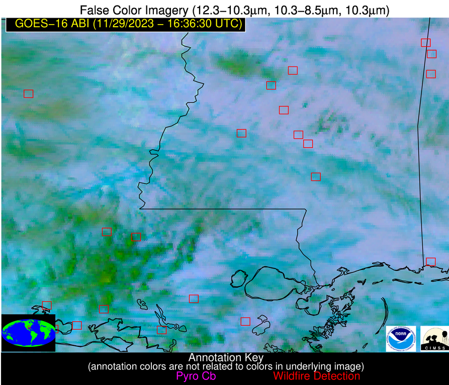
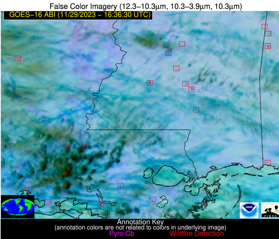
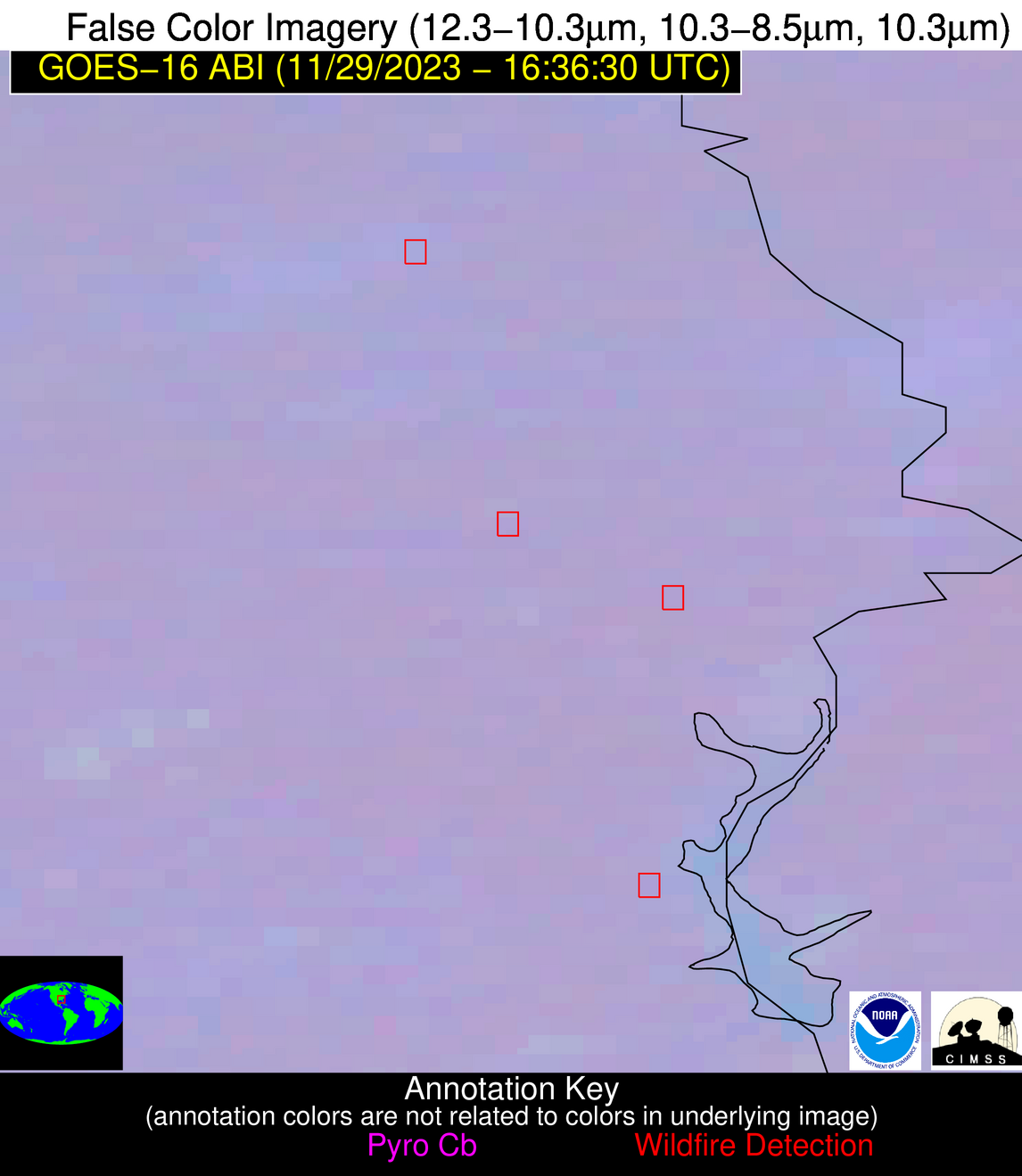
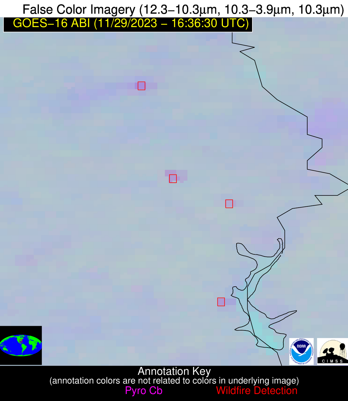
Wildfire Alert Report
| Date: | 2023-11-29 |
|---|---|
| Time: | 16:36:17 |
| Production Date and Time: | 2023-11-29 16:40:57 UTC |
| Primary Instrument: | GOES-16 ABI |
| Wmo Spacecraft Id: | 152 |
| Location/orbit: | GEO |
| L1 File: | OR_ABI-L1b-RadC-M6C14_G16_s20233331636170_e20233331638543_c20233331639024.nc |
| L1 File(s) - Temporal | OR_ABI-L1b-RadC-M6C14_G16_s20233331631170_e20233331633543_c20233331634015.nc |
| Number Of Thermal Anomaly Alerts: | 9 |
Possible Wildfire
| Basic Information | |
|---|---|
| State/Province(s) | MS |
| Country/Countries | USA |
| County/Locality(s) | Kemper County, MS |
| NWS WFO | Jackson MS |
| Identification Method | Enhanced Contextual (Clear) |
| Mean Object Date/Time | 2023-11-29 16:37:21UTC |
| Radiative Center (Lat, Lon): | 32.770°, -88.380° |
| Nearby Counties (meeting alert criteria): |
|
| Total Radiative Power Anomaly | n/a |
| Total Radiative Power | 9.16 MW |
| Map: | |
| Additional Information | |
| Alert Status | New Feature |
| Type of Event | Nominal Risk |
| Event Priority Ranking | 4 |
| Maximum Observed BT (3.9 um) | 293.38 K |
| Observed - Background BT (3.9 um) | 3.89 K |
| BT Anomaly (3.9 um) | 2.50 K |
| Maximum Observed - Clear RTM BT (3.9 um) | 10.07 K |
| Maximum Observed BTD (3.9-10/11/12 um) | 9.15 K |
| Observed - Background BTD (3.9-10/11/12 um) | 3.70 K |
| BTD Anomaly (3.9-10/11/12 um) | 3.24 K |
| Similar Pixel Count | 3 |
| BT Time Tendency (3.9 um) | 0.70 K |
| Image Interval | 5.00 minutes |
| Fraction of Surrounding LWIR Pixels that are Colder | 0.62 |
| Fraction of Surrounding Red Channel Pixels that are Brighter | 1.00 |
| Maximum Radiative Power | 9.16 MW |
| Maximum Radiative Power Uncertainty | 0.00 MW |
| Total Radiative Power Uncertainty | 0.00 MW |
| Mean Viewing Angle | 40.90° |
| Mean Solar Zenith Angle | 56.20° |
| Mean Glint Angle | 96.90° |
| Water Fraction | 0.00 |
| Total Pixel Area | 5.80 km2 |
| Latest Satellite Imagery: | |
| View all event imagery » | |
Possible Wildfire
| Basic Information | |
|---|---|
| State/Province(s) | AL |
| Country/Countries | USA |
| County/Locality(s) | Lee County, AL |
| NWS WFO | Birmingham AL |
| Identification Method | Enhanced Contextual (Clear) |
| Mean Object Date/Time | 2023-11-29 16:37:21UTC |
| Radiative Center (Lat, Lon): | 32.640°, -85.370° |
| Nearby Counties (meeting alert criteria): |
|
| Total Radiative Power Anomaly | n/a |
| Total Radiative Power | 11.66 MW |
| Map: | |
| Additional Information | |
| Alert Status | New Feature |
| Type of Event | Nominal Risk |
| Event Priority Ranking | 4 |
| Maximum Observed BT (3.9 um) | 296.65 K |
| Observed - Background BT (3.9 um) | 8.03 K |
| BT Anomaly (3.9 um) | 6.17 K |
| Maximum Observed - Clear RTM BT (3.9 um) | 15.16 K |
| Maximum Observed BTD (3.9-10/11/12 um) | 11.47 K |
| Observed - Background BTD (3.9-10/11/12 um) | 6.63 K |
| BTD Anomaly (3.9-10/11/12 um) | 11.35 K |
| Similar Pixel Count | 2 |
| BT Time Tendency (3.9 um) | 1.30 K |
| Image Interval | 5.00 minutes |
| Fraction of Surrounding LWIR Pixels that are Colder | 0.95 |
| Fraction of Surrounding Red Channel Pixels that are Brighter | 0.14 |
| Maximum Radiative Power | 11.66 MW |
| Maximum Radiative Power Uncertainty | 0.00 MW |
| Total Radiative Power Uncertainty | 0.00 MW |
| Mean Viewing Angle | 39.70° |
| Mean Solar Zenith Angle | 55.30° |
| Mean Glint Angle | 95.00° |
| Water Fraction | 0.00 |
| Total Pixel Area | 5.60 km2 |
| Latest Satellite Imagery: | |
| View all event imagery » | |
Possible Wildfire
| Basic Information | |
|---|---|
| State/Province(s) | LA |
| Country/Countries | USA |
| County/Locality(s) | Bienville Parish, LA |
| NWS WFO | Shreveport LA |
| Identification Method | Enhanced Contextual (Clear) |
| Mean Object Date/Time | 2023-11-29 16:37:20UTC |
| Radiative Center (Lat, Lon): | 32.230°, -92.890° |
| Nearby Counties (meeting alert criteria): |
|
| Total Radiative Power Anomaly | n/a |
| Total Radiative Power | 14.12 MW |
| Map: | |
| Additional Information | |
| Alert Status | New Feature |
| Type of Event | Nominal Risk |
| Event Priority Ranking | 4 |
| Maximum Observed BT (3.9 um) | 288.61 K |
| Observed - Background BT (3.9 um) | 7.26 K |
| BT Anomaly (3.9 um) | 6.45 K |
| Maximum Observed - Clear RTM BT (3.9 um) | 5.18 K |
| Maximum Observed BTD (3.9-10/11/12 um) | 16.91 K |
| Observed - Background BTD (3.9-10/11/12 um) | 6.76 K |
| BTD Anomaly (3.9-10/11/12 um) | 6.85 K |
| Similar Pixel Count | 9 |
| BT Time Tendency (3.9 um) | 3.20 K |
| Image Interval | 5.00 minutes |
| Fraction of Surrounding LWIR Pixels that are Colder | 0.86 |
| Fraction of Surrounding Red Channel Pixels that are Brighter | 1.00 |
| Maximum Radiative Power | 14.12 MW |
| Maximum Radiative Power Uncertainty | 0.00 MW |
| Total Radiative Power Uncertainty | 0.00 MW |
| Mean Viewing Angle | 42.30° |
| Mean Solar Zenith Angle | 57.00° |
| Mean Glint Angle | 99.00° |
| Water Fraction | 0.00 |
| Total Pixel Area | 6.00 km2 |
| Latest Satellite Imagery: | |
| View all event imagery » | |
Possible Wildfire
| Basic Information | |
|---|---|
| State/Province(s) | AL |
| Country/Countries | USA |
| County/Locality(s) | Barbour County, AL |
| NWS WFO | Birmingham AL |
| Identification Method | Enhanced Contextual (Clear) |
| Mean Object Date/Time | 2023-11-29 16:37:21UTC |
| Radiative Center (Lat, Lon): | 31.810°, -85.190° |
| Nearby Counties (meeting alert criteria): |
|
| Total Radiative Power Anomaly | n/a |
| Total Radiative Power | 8.54 MW |
| Map: | |
| Additional Information | |
| Alert Status | New Feature |
| Type of Event | Nominal Risk |
| Event Priority Ranking | 4 |
| Maximum Observed BT (3.9 um) | 294.06 K |
| Observed - Background BT (3.9 um) | 6.48 K |
| BT Anomaly (3.9 um) | 6.05 K |
| Maximum Observed - Clear RTM BT (3.9 um) | 11.94 K |
| Maximum Observed BTD (3.9-10/11/12 um) | 9.70 K |
| Observed - Background BTD (3.9-10/11/12 um) | 5.69 K |
| BTD Anomaly (3.9-10/11/12 um) | 8.57 K |
| Similar Pixel Count | 2 |
| BT Time Tendency (3.9 um) | 2.00 K |
| Image Interval | 5.00 minutes |
| Fraction of Surrounding LWIR Pixels that are Colder | 0.85 |
| Fraction of Surrounding Red Channel Pixels that are Brighter | 0.99 |
| Maximum Radiative Power | 8.54 MW |
| Maximum Radiative Power Uncertainty | 0.00 MW |
| Total Radiative Power Uncertainty | 0.00 MW |
| Mean Viewing Angle | 38.80° |
| Mean Solar Zenith Angle | 54.50° |
| Mean Glint Angle | 93.20° |
| Water Fraction | 0.00 |
| Total Pixel Area | 5.60 km2 |
| Latest Satellite Imagery: | |
| View all event imagery » | |
Possible Wildfire
| Basic Information | |
|---|---|
| State/Province(s) | GA |
| Country/Countries | USA |
| County/Locality(s) | Appling County, GA |
| NWS WFO | Jacksonville FL |
| Identification Method | Enhanced Contextual (Clear) |
| Mean Object Date/Time | 2023-11-29 16:37:22UTC |
| Radiative Center (Lat, Lon): | 31.680°, -82.360° |
| Nearby Counties (meeting alert criteria): |
|
| Total Radiative Power Anomaly | n/a |
| Total Radiative Power | 11.32 MW |
| Map: | |
| Additional Information | |
| Alert Status | New Feature |
| Type of Event | Nominal Risk |
| Event Priority Ranking | 4 |
| Maximum Observed BT (3.9 um) | 295.87 K |
| Observed - Background BT (3.9 um) | 4.59 K |
| BT Anomaly (3.9 um) | 3.15 K |
| Maximum Observed - Clear RTM BT (3.9 um) | 14.54 K |
| Maximum Observed BTD (3.9-10/11/12 um) | 9.04 K |
| Observed - Background BTD (3.9-10/11/12 um) | 3.60 K |
| BTD Anomaly (3.9-10/11/12 um) | 4.22 K |
| Similar Pixel Count | 9 |
| BT Time Tendency (3.9 um) | 1.80 K |
| Image Interval | 5.00 minutes |
| Fraction of Surrounding LWIR Pixels that are Colder | 0.92 |
| Fraction of Surrounding Red Channel Pixels that are Brighter | 1.00 |
| Maximum Radiative Power | 6.23 MW |
| Maximum Radiative Power Uncertainty | 0.00 MW |
| Total Radiative Power Uncertainty | 0.00 MW |
| Mean Viewing Angle | 37.90° |
| Mean Solar Zenith Angle | 53.80° |
| Mean Glint Angle | 91.60° |
| Water Fraction | 0.00 |
| Total Pixel Area | 10.90 km2 |
| Latest Satellite Imagery: | |
| View all event imagery » | |
Possible Wildfire
| Basic Information | |
|---|---|
| State/Province(s) | MS |
| Country/Countries | USA |
| County/Locality(s) | Lamar County, MS |
| NWS WFO | Jackson MS |
| Identification Method | Enhanced Contextual (Clear) |
| Mean Object Date/Time | 2023-11-29 16:37:21UTC |
| Radiative Center (Lat, Lon): | 31.340°, -89.630° |
| Nearby Counties (meeting alert criteria): |
|
| Total Radiative Power Anomaly | n/a |
| Total Radiative Power | 7.03 MW |
| Map: | |
| Additional Information | |
| Alert Status | New Feature |
| Type of Event | Nominal Risk |
| Event Priority Ranking | 4 |
| Maximum Observed BT (3.9 um) | 291.84 K |
| Observed - Background BT (3.9 um) | 4.35 K |
| BT Anomaly (3.9 um) | 5.12 K |
| Maximum Observed - Clear RTM BT (3.9 um) | 8.46 K |
| Maximum Observed BTD (3.9-10/11/12 um) | 15.00 K |
| Observed - Background BTD (3.9-10/11/12 um) | 4.35 K |
| BTD Anomaly (3.9-10/11/12 um) | 4.19 K |
| Similar Pixel Count | 17 |
| BT Time Tendency (3.9 um) | 2.50 K |
| Image Interval | 5.00 minutes |
| Fraction of Surrounding LWIR Pixels that are Colder | 0.22 |
| Fraction of Surrounding Red Channel Pixels that are Brighter | 1.00 |
| Maximum Radiative Power | 7.03 MW |
| Maximum Radiative Power Uncertainty | 0.00 MW |
| Total Radiative Power Uncertainty | 0.00 MW |
| Mean Viewing Angle | 39.90° |
| Mean Solar Zenith Angle | 55.20° |
| Mean Glint Angle | 94.90° |
| Water Fraction | 0.00 |
| Total Pixel Area | 5.70 km2 |
| Latest Satellite Imagery: | |
| View all event imagery » | |
Possible Wildfire
| Basic Information | |
|---|---|
| State/Province(s) | LA |
| Country/Countries | USA |
| County/Locality(s) | Assumption Parish, LA |
| NWS WFO | New Orleans LA |
| Identification Method | Enhanced Contextual (Clear) |
| Mean Object Date/Time | 2023-11-29 16:37:50UTC |
| Radiative Center (Lat, Lon): | 30.040°, -91.010° |
| Nearby Counties (meeting alert criteria): |
|
| Total Radiative Power Anomaly | n/a |
| Total Radiative Power | 26.31 MW |
| Map: | |
| Additional Information | |
| Alert Status | New Feature |
| Type of Event | Nominal Risk |
| Event Priority Ranking | 4 |
| Maximum Observed BT (3.9 um) | 303.39 K |
| Observed - Background BT (3.9 um) | 10.51 K |
| BT Anomaly (3.9 um) | 6.67 K |
| Maximum Observed - Clear RTM BT (3.9 um) | 17.69 K |
| Maximum Observed BTD (3.9-10/11/12 um) | 19.47 K |
| Observed - Background BTD (3.9-10/11/12 um) | 10.27 K |
| BTD Anomaly (3.9-10/11/12 um) | 6.61 K |
| Similar Pixel Count | 9 |
| BT Time Tendency (3.9 um) | 7.30 K |
| Image Interval | 5.00 minutes |
| Fraction of Surrounding LWIR Pixels that are Colder | 0.76 |
| Fraction of Surrounding Red Channel Pixels that are Brighter | 1.00 |
| Maximum Radiative Power | 26.31 MW |
| Maximum Radiative Power Uncertainty | 0.00 MW |
| Total Radiative Power Uncertainty | 0.00 MW |
| Mean Viewing Angle | 39.20° |
| Mean Solar Zenith Angle | 54.40° |
| Mean Glint Angle | 93.40° |
| Water Fraction | 0.00 |
| Total Pixel Area | 5.70 km2 |
| Latest Satellite Imagery: | |
| View all event imagery » | |
Possible Wildfire
| Basic Information | |
|---|---|
| State/Province(s) | LA |
| Country/Countries | USA |
| County/Locality(s) | Cameron Parish, LA |
| NWS WFO | Lake Charles LA |
| Identification Method | Enhanced Contextual (Clear) |
| Mean Object Date/Time | 2023-11-29 16:37:50UTC |
| Radiative Center (Lat, Lon): | 29.970°, -92.690° |
| Nearby Counties (meeting alert criteria): |
|
| Total Radiative Power Anomaly | n/a |
| Total Radiative Power | 64.41 MW |
| Map: | |
| Additional Information | |
| Alert Status | New Feature |
| Type of Event | Nominal Risk |
| Event Priority Ranking | 4 |
| Maximum Observed BT (3.9 um) | 303.77 K |
| Observed - Background BT (3.9 um) | 14.69 K |
| BT Anomaly (3.9 um) | 4.44 K |
| Maximum Observed - Clear RTM BT (3.9 um) | 17.77 K |
| Maximum Observed BTD (3.9-10/11/12 um) | 25.03 K |
| Observed - Background BTD (3.9-10/11/12 um) | 14.84 K |
| BTD Anomaly (3.9-10/11/12 um) | 4.62 K |
| Similar Pixel Count | 5 |
| BT Time Tendency (3.9 um) | 16.40 K |
| Image Interval | 5.00 minutes |
| Fraction of Surrounding LWIR Pixels that are Colder | 0.74 |
| Fraction of Surrounding Red Channel Pixels that are Brighter | 0.90 |
| Maximum Radiative Power | 37.99 MW |
| Maximum Radiative Power Uncertainty | 0.00 MW |
| Total Radiative Power Uncertainty | 0.00 MW |
| Mean Viewing Angle | 40.00° |
| Mean Solar Zenith Angle | 54.90° |
| Mean Glint Angle | 94.60° |
| Water Fraction | 0.00 |
| Total Pixel Area | 11.50 km2 |
| Latest Satellite Imagery: | |
| View all event imagery » | |
Possible Wildfire
| Basic Information | |
|---|---|
| State/Province(s) | LA |
| Country/Countries | USA |
| County/Locality(s) | St. Mary Parish, LA |
| NWS WFO | Lake Charles LA |
| Identification Method | Enhanced Contextual (Cloud) |
| Mean Object Date/Time | 2023-11-29 16:37:50UTC |
| Radiative Center (Lat, Lon): | 29.710°, -91.380° |
| Nearby Counties (meeting alert criteria): |
|
| Total Radiative Power Anomaly | n/a |
| Total Radiative Power | 49.73 MW |
| Map: | |
| Additional Information | |
| Alert Status | New Feature |
| Type of Event | Nominal Risk |
| Event Priority Ranking | 4 |
| Maximum Observed BT (3.9 um) | 303.65 K |
| Observed - Background BT (3.9 um) | 17.03 K |
| BT Anomaly (3.9 um) | 7.15 K |
| Maximum Observed - Clear RTM BT (3.9 um) | 18.28 K |
| Maximum Observed BTD (3.9-10/11/12 um) | 28.26 K |
| Observed - Background BTD (3.9-10/11/12 um) | 16.51 K |
| BTD Anomaly (3.9-10/11/12 um) | 7.34 K |
| Similar Pixel Count | 0 |
| BT Time Tendency (3.9 um) | 19.30 K |
| Image Interval | 5.00 minutes |
| Fraction of Surrounding LWIR Pixels that are Colder | 0.56 |
| Fraction of Surrounding Red Channel Pixels that are Brighter | 0.87 |
| Maximum Radiative Power | 49.73 MW |
| Maximum Radiative Power Uncertainty | 0.00 MW |
| Total Radiative Power Uncertainty | 0.00 MW |
| Mean Viewing Angle | 39.10° |
| Mean Solar Zenith Angle | 54.20° |
| Mean Glint Angle | 93.00° |
| Water Fraction | 0.00 |
| Total Pixel Area | 5.70 km2 |
| Latest Satellite Imagery: | |
| View all event imagery » | |
