Wildfire Alert Report
| Date: | 2023-11-29 |
|---|---|
| Time: | 16:31:17 |
| Production Date and Time: | 2023-11-29 16:35:54 UTC |
| Primary Instrument: | GOES-16 ABI |
| Wmo Spacecraft Id: | 152 |
| Location/orbit: | GEO |
| L1 File: | OR_ABI-L1b-RadC-M6C14_G16_s20233331631170_e20233331633543_c20233331634015.nc |
| L1 File(s) - Temporal | OR_ABI-L1b-RadC-M6C14_G16_s20233331626170_e20233331628543_c20233331629009.nc |
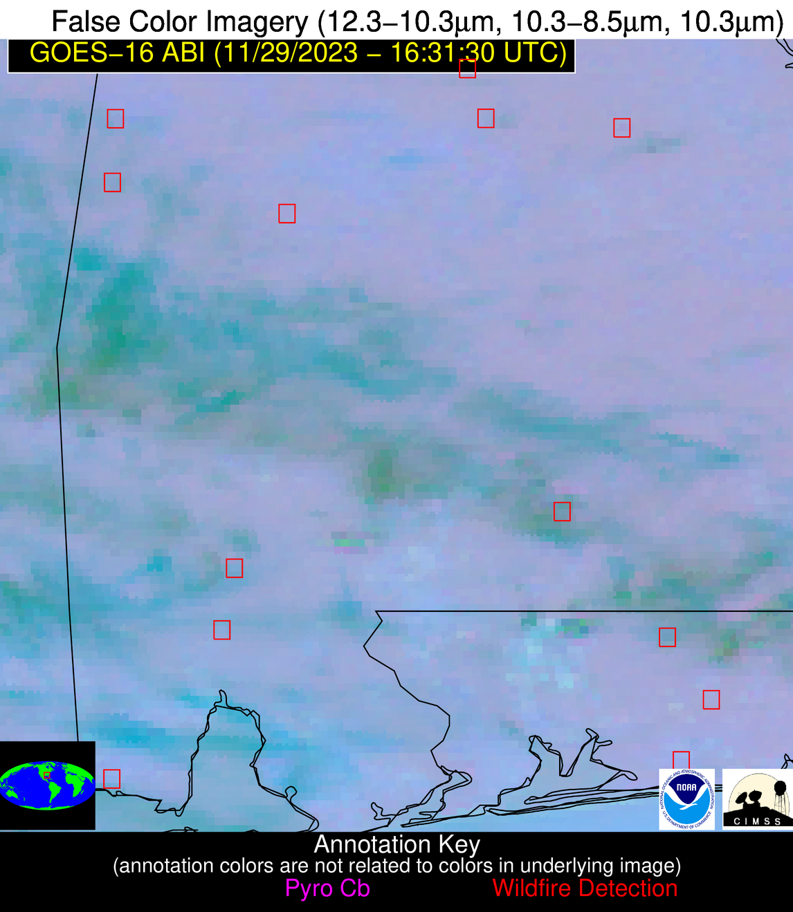
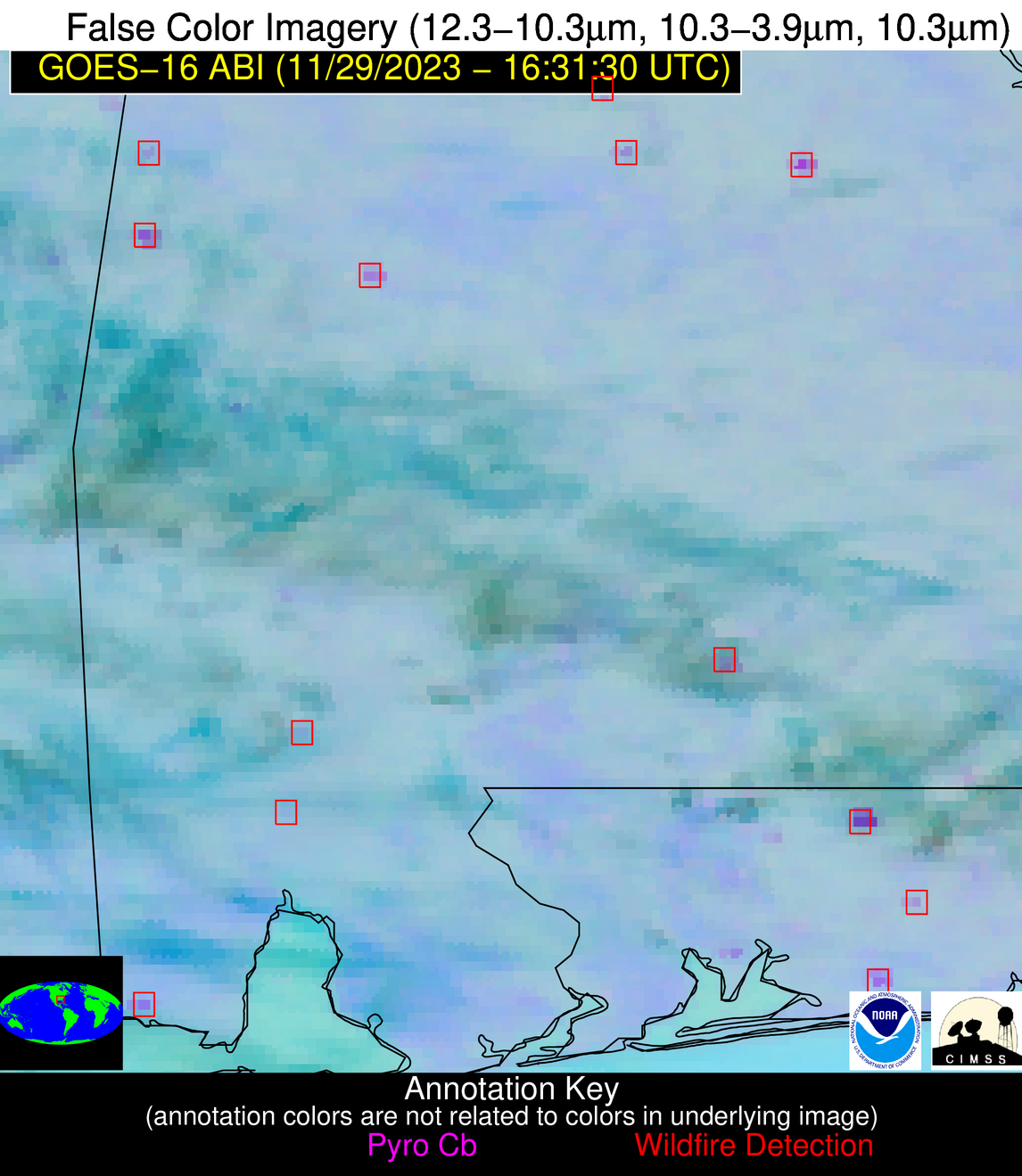
| Number Of Thermal Anomaly Alerts: | 5 |
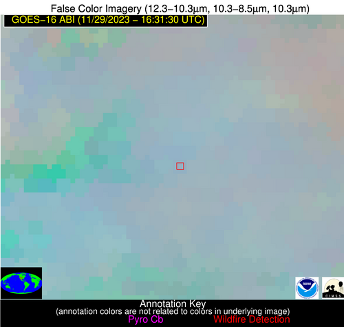
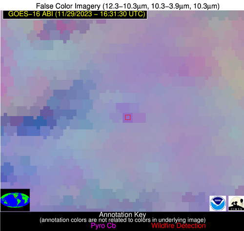
Possible Wildfire
| Basic Information | |
|---|---|
| State/Province(s) | NM |
| Country/Countries | USA |
| County/Locality(s) | Torrance County, NM |
| NWS WFO | Albuquerque NM |
| Identification Method | Enhanced Contextual (Clear) |
| Mean Object Date/Time | 2023-11-29 16:32:19UTC |
| Radiative Center (Lat, Lon): | 34.400000°, -106.200000° |
| Nearby Counties (meeting alert criteria): |
|
| Total Radiative Power Anomaly | n/a |
| Total Radiative Power | 18.27 MW |
| Map: | |
| Additional Information | |
| Alert Status | New Feature |
| Type of Event | Nominal Risk |
| Event Priority Ranking | 4 |
| Maximum Observed BT (3.9 um) | 296.31 K |
| Observed - Background BT (3.9 um) | 6.95 K |
| BT Anomaly (3.9 um) | 4.49 K |
| Maximum Observed - Clear RTM BT (3.9 um) | 17.29 K |
| Maximum Observed BTD (3.9-10/11/12 um) | 16.42 K |
| Observed - Background BTD (3.9-10/11/12 um) | 6.01 K |
| BTD Anomaly (3.9-10/11/12 um) | 4.24 K |
| Similar Pixel Count | 7 |
| BT Time Tendency (3.9 um) | 1.90 K |
| Image Interval | 5.00 minutes |
| Fraction of Surrounding LWIR Pixels that are Colder | 0.90 |
| Fraction of Surrounding Red Channel Pixels that are Brighter | 0.89 |
| Maximum Radiative Power | 18.27 MW |
| Maximum Radiative Power Uncertainty | 0.00 MW |
| Total Radiative Power Uncertainty | 0.00 MW |
| Mean Viewing Angle | 52.10° |
| Mean Solar Zenith Angle | 65.00° |
| Mean Glint Angle | 116.30° |
| Water Fraction | 0.00 |
| Total Pixel Area | 8.10 km2 |
| Latest Satellite Imagery: | |
| View all event imagery » | |
Possible Wildfire
| Basic Information | |
|---|---|
| State/Province(s) | AL |
| Country/Countries | USA |
| County/Locality(s) | Perry County, AL |
| NWS WFO | Birmingham AL |
| Identification Method | Enhanced Contextual (Clear) |
| Mean Object Date/Time | 2023-11-29 16:32:21UTC |
| Radiative Center (Lat, Lon): | 32.650000°, -87.300000° |
| Nearby Counties (meeting alert criteria): |
|
| Total Radiative Power Anomaly | n/a |
| Total Radiative Power | 13.41 MW |
| Map: | |
| Additional Information | |
| Alert Status | New Feature |
| Type of Event | Nominal Risk |
| Event Priority Ranking | 4 |
| Maximum Observed BT (3.9 um) | 295.48 K |
| Observed - Background BT (3.9 um) | 7.02 K |
| BT Anomaly (3.9 um) | 4.33 K |
| Maximum Observed - Clear RTM BT (3.9 um) | 11.82 K |
| Maximum Observed BTD (3.9-10/11/12 um) | 12.03 K |
| Observed - Background BTD (3.9-10/11/12 um) | 7.49 K |
| BTD Anomaly (3.9-10/11/12 um) | 5.47 K |
| Similar Pixel Count | 1 |
| BT Time Tendency (3.9 um) | 2.40 K |
| Image Interval | 5.00 minutes |
| Fraction of Surrounding LWIR Pixels that are Colder | 0.17 |
| Fraction of Surrounding Red Channel Pixels that are Brighter | 1.00 |
| Maximum Radiative Power | 13.41 MW |
| Maximum Radiative Power Uncertainty | 0.00 MW |
| Total Radiative Power Uncertainty | 0.00 MW |
| Mean Viewing Angle | 40.40° |
| Mean Solar Zenith Angle | 56.10° |
| Mean Glint Angle | 96.40° |
| Water Fraction | 0.00 |
| Total Pixel Area | 5.70 km2 |
| Latest Satellite Imagery: | |
| View all event imagery » | |
Possible Wildfire
| Basic Information | |
|---|---|
| State/Province(s) | AL |
| Country/Countries | USA |
| County/Locality(s) | Sumter County, AL |
| NWS WFO | Birmingham AL |
| Identification Method | Enhanced Contextual (Clear) |
| Mean Object Date/Time | 2023-11-29 16:32:21UTC |
| Radiative Center (Lat, Lon): | 32.650000°, -88.310000° |
| Nearby Counties (meeting alert criteria): |
|
| Total Radiative Power Anomaly | n/a |
| Total Radiative Power | 10.84 MW |
| Map: | |
| Additional Information | |
| Alert Status | New Feature |
| Type of Event | Nominal Risk |
| Event Priority Ranking | 4 |
| Maximum Observed BT (3.9 um) | 293.48 K |
| Observed - Background BT (3.9 um) | 5.03 K |
| BT Anomaly (3.9 um) | 3.55 K |
| Maximum Observed - Clear RTM BT (3.9 um) | 10.33 K |
| Maximum Observed BTD (3.9-10/11/12 um) | 10.27 K |
| Observed - Background BTD (3.9-10/11/12 um) | 5.19 K |
| BTD Anomaly (3.9-10/11/12 um) | 6.18 K |
| Similar Pixel Count | 4 |
| BT Time Tendency (3.9 um) | 3.50 K |
| Image Interval | 5.00 minutes |
| Fraction of Surrounding LWIR Pixels that are Colder | 0.41 |
| Fraction of Surrounding Red Channel Pixels that are Brighter | 1.00 |
| Maximum Radiative Power | 10.84 MW |
| Maximum Radiative Power Uncertainty | 0.00 MW |
| Total Radiative Power Uncertainty | 0.00 MW |
| Mean Viewing Angle | 40.70° |
| Mean Solar Zenith Angle | 56.40° |
| Mean Glint Angle | 97.00° |
| Water Fraction | 0.00 |
| Total Pixel Area | 5.80 km2 |
| Latest Satellite Imagery: | |
| View all event imagery » | |
Possible Wildfire
| Basic Information | |
|---|---|
| State/Province(s) | GA |
| Country/Countries | USA |
| County/Locality(s) | Appling County, GA |
| NWS WFO | Jacksonville FL |
| Identification Method | Enhanced Contextual (Clear) |
| Mean Object Date/Time | 2023-11-29 16:32:22UTC |
| Radiative Center (Lat, Lon): | 31.880000°, -82.180000° |
| Nearby Counties (meeting alert criteria): |
|
| Total Radiative Power Anomaly | n/a |
| Total Radiative Power | 6.91 MW |
| Map: | |
| Additional Information | |
| Alert Status | New Feature |
| Type of Event | Nominal Risk |
| Event Priority Ranking | 4 |
| Maximum Observed BT (3.9 um) | 293.64 K |
| Observed - Background BT (3.9 um) | 4.43 K |
| BT Anomaly (3.9 um) | 2.87 K |
| Maximum Observed - Clear RTM BT (3.9 um) | 12.23 K |
| Maximum Observed BTD (3.9-10/11/12 um) | 8.77 K |
| Observed - Background BTD (3.9-10/11/12 um) | 4.31 K |
| BTD Anomaly (3.9-10/11/12 um) | 5.23 K |
| Similar Pixel Count | 2 |
| BT Time Tendency (3.9 um) | 1.70 K |
| Image Interval | 5.00 minutes |
| Fraction of Surrounding LWIR Pixels that are Colder | 0.55 |
| Fraction of Surrounding Red Channel Pixels that are Brighter | 1.00 |
| Maximum Radiative Power | 6.91 MW |
| Maximum Radiative Power Uncertainty | 0.00 MW |
| Total Radiative Power Uncertainty | 0.00 MW |
| Mean Viewing Angle | 38.10° |
| Mean Solar Zenith Angle | 54.20° |
| Mean Glint Angle | 92.20° |
| Water Fraction | 0.00 |
| Total Pixel Area | 5.50 km2 |
| Latest Satellite Imagery: | |
| View all event imagery » | |
Possible Wildfire
| Basic Information | |
|---|---|
| State/Province(s) | FL |
| Country/Countries | USA |
| County/Locality(s) | Okaloosa County, FL |
| NWS WFO | Mobile AL |
| Identification Method | Enhanced Contextual (Clear) |
| Mean Object Date/Time | 2023-11-29 16:32:21UTC |
| Radiative Center (Lat, Lon): | 30.500000°, -86.770000° |
| Nearby Counties (meeting alert criteria): |
|
| Total Radiative Power Anomaly | n/a |
| Total Radiative Power | 37.30 MW |
| Map: | |
| Additional Information | |
| Alert Status | New Feature |
| Type of Event | Nominal Risk |
| Event Priority Ranking | 4 |
| Maximum Observed BT (3.9 um) | 303.65 K |
| Observed - Background BT (3.9 um) | 12.81 K |
| BT Anomaly (3.9 um) | 9.09 K |
| Maximum Observed - Clear RTM BT (3.9 um) | 19.65 K |
| Maximum Observed BTD (3.9-10/11/12 um) | 15.76 K |
| Observed - Background BTD (3.9-10/11/12 um) | 11.62 K |
| BTD Anomaly (3.9-10/11/12 um) | 8.26 K |
| Similar Pixel Count | 3 |
| BT Time Tendency (3.9 um) | 10.40 K |
| Image Interval | 5.00 minutes |
| Fraction of Surrounding LWIR Pixels that are Colder | 0.90 |
| Fraction of Surrounding Red Channel Pixels that are Brighter | 0.54 |
| Maximum Radiative Power | 37.30 MW |
| Maximum Radiative Power Uncertainty | 0.00 MW |
| Total Radiative Power Uncertainty | 0.00 MW |
| Mean Viewing Angle | 37.90° |
| Mean Solar Zenith Angle | 53.90° |
| Mean Glint Angle | 91.70° |
| Water Fraction | 0.00 |
| Total Pixel Area | 11.00 km2 |
| Latest Satellite Imagery: | |
| View all event imagery » | |
