Wildfire Alert Report
| Date: | 2023-11-28 |
|---|---|
| Time: | 20:41:17 |
| Production Date and Time: | 2023-11-28 20:45:58 UTC |
| Primary Instrument: | GOES-16 ABI |
| Wmo Spacecraft Id: | 152 |
| Location/orbit: | GEO |
| L1 File: | OR_ABI-L1b-RadC-M6C14_G16_s20233322041170_e20233322043543_c20233322044035.nc |
| L1 File(s) - Temporal | OR_ABI-L1b-RadC-M6C14_G16_s20233322031170_e20233322033543_c20233322034036.nc |
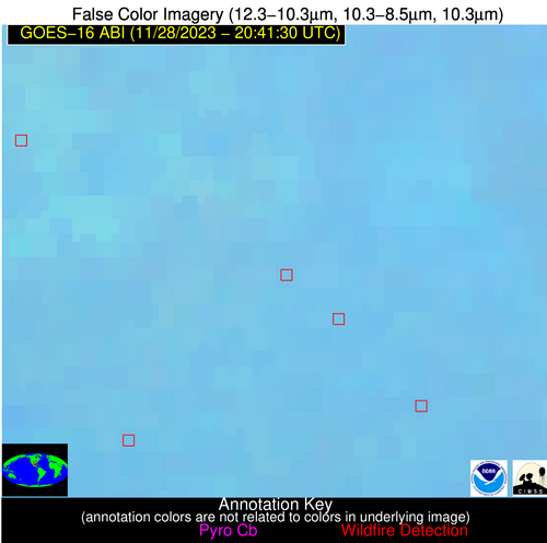
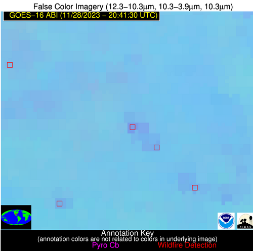
| Number Of Thermal Anomaly Alerts: | 4 |
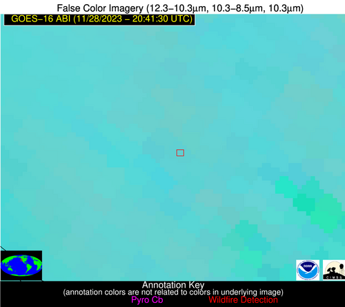
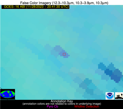
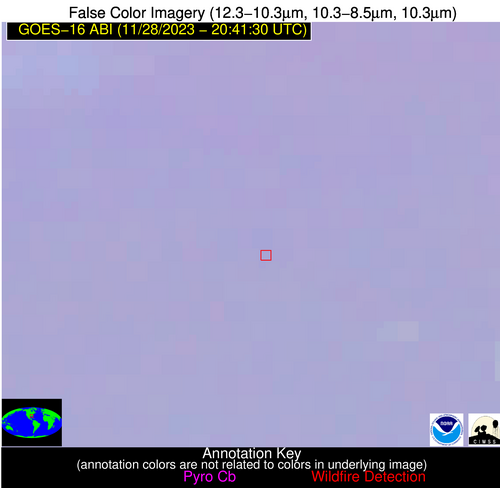
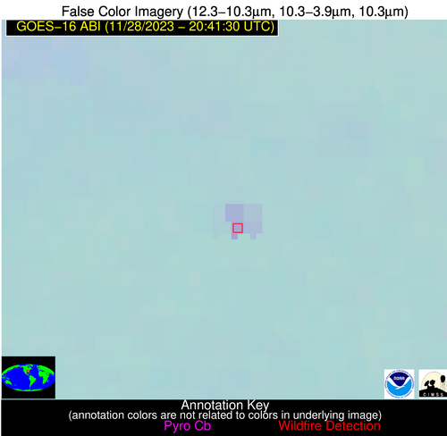
Possible Wildfire
| Basic Information | |
|---|---|
| State/Province(s) | CA |
| Country/Countries | USA |
| County/Locality(s) | Mendocino County, CA |
| NWS WFO | Eureka CA |
| Identification Method | Enhanced Contextual (Clear) |
| Mean Object Date/Time | 2023-11-28 20:41:48UTC |
| Radiative Center (Lat, Lon): | 39.060°, -123.310° |
| Nearby Counties (meeting alert criteria): |
|
| Total Radiative Power Anomaly | n/a |
| Total Radiative Power | 32.63 MW |
| Map: | |
| Additional Information | |
| Alert Status | New Feature |
| Type of Event | Nominal Risk |
| Event Priority Ranking | 4 |
| Maximum Observed BT (3.9 um) | 293.27 K |
| Observed - Background BT (3.9 um) | 6.64 K |
| BT Anomaly (3.9 um) | 4.80 K |
| Maximum Observed - Clear RTM BT (3.9 um) | 12.77 K |
| Maximum Observed BTD (3.9-10/11/12 um) | 11.64 K |
| Observed - Background BTD (3.9-10/11/12 um) | 6.79 K |
| BTD Anomaly (3.9-10/11/12 um) | 5.37 K |
| Similar Pixel Count | 2 |
| BT Time Tendency (3.9 um) | 6.50 K |
| Image Interval | 10.00 minutes |
| Fraction of Surrounding LWIR Pixels that are Colder | 0.44 |
| Fraction of Surrounding Red Channel Pixels that are Brighter | 1.00 |
| Maximum Radiative Power | 32.63 MW |
| Maximum Radiative Power Uncertainty | 0.00 MW |
| Total Radiative Power Uncertainty | 0.00 MW |
| Mean Viewing Angle | 67.20° |
| Mean Solar Zenith Angle | 60.80° |
| Mean Glint Angle | 93.90° |
| Water Fraction | 0.00 |
| Total Pixel Area | 17.90 km2 |
| Latest Satellite Imagery: | |
| View all event imagery » | |
Possible Wildfire
| Basic Information | |
|---|---|
| State/Province(s) | AR |
| Country/Countries | USA |
| County/Locality(s) | Clark County, AR |
| NWS WFO | Little Rock AR |
| Identification Method | Enhanced Contextual (Clear) |
| Mean Object Date/Time | 2023-11-28 20:42:20UTC |
| Radiative Center (Lat, Lon): | 34.060°, -93.330° |
| Nearby Counties (meeting alert criteria): |
|
| Total Radiative Power Anomaly | n/a |
| Total Radiative Power | 9.42 MW |
| Map: | |
| Additional Information | |
| Alert Status | New Feature |
| Type of Event | Nominal Risk |
| Event Priority Ranking | 4 |
| Maximum Observed BT (3.9 um) | 291.67 K |
| Observed - Background BT (3.9 um) | 4.72 K |
| BT Anomaly (3.9 um) | 9.92 K |
| Maximum Observed - Clear RTM BT (3.9 um) | 9.09 K |
| Maximum Observed BTD (3.9-10/11/12 um) | 7.07 K |
| Observed - Background BTD (3.9-10/11/12 um) | 4.72 K |
| BTD Anomaly (3.9-10/11/12 um) | 16.12 K |
| Similar Pixel Count | 1 |
| BT Time Tendency (3.9 um) | 4.20 K |
| Image Interval | 10.00 minutes |
| Fraction of Surrounding LWIR Pixels that are Colder | 0.47 |
| Fraction of Surrounding Red Channel Pixels that are Brighter | 1.00 |
| Maximum Radiative Power | 9.42 MW |
| Maximum Radiative Power Uncertainty | 0.00 MW |
| Total Radiative Power Uncertainty | 0.00 MW |
| Mean Viewing Angle | 44.30° |
| Mean Solar Zenith Angle | 67.00° |
| Mean Glint Angle | 85.90° |
| Water Fraction | 0.00 |
| Total Pixel Area | 6.30 km2 |
| Latest Satellite Imagery: | |
| View all event imagery » | |
Possible Wildfire
| Basic Information | |
|---|---|
| State/Province(s) | AL |
| Country/Countries | USA |
| County/Locality(s) | Bullock County, AL |
| NWS WFO | Birmingham AL |
| Identification Method | Enhanced Contextual (Clear) |
| Mean Object Date/Time | 2023-11-28 20:42:21UTC |
| Radiative Center (Lat, Lon): | 32.100°, -85.930° |
| Nearby Counties (meeting alert criteria): |
|
| Total Radiative Power Anomaly | n/a |
| Total Radiative Power | 19.50 MW |
| Map: | |
| Additional Information | |
| Alert Status | New Feature |
| Type of Event | Nominal Risk |
| Event Priority Ranking | 4 |
| Maximum Observed BT (3.9 um) | 292.45 K |
| Observed - Background BT (3.9 um) | 6.72 K |
| BT Anomaly (3.9 um) | 12.90 K |
| Maximum Observed - Clear RTM BT (3.9 um) | 12.21 K |
| Maximum Observed BTD (3.9-10/11/12 um) | 8.53 K |
| Observed - Background BTD (3.9-10/11/12 um) | 6.71 K |
| BTD Anomaly (3.9-10/11/12 um) | 26.67 K |
| Similar Pixel Count | 2 |
| BT Time Tendency (3.9 um) | 1.90 K |
| Image Interval | 10.00 minutes |
| Fraction of Surrounding LWIR Pixels that are Colder | 0.55 |
| Fraction of Surrounding Red Channel Pixels that are Brighter | 1.00 |
| Maximum Radiative Power | 19.50 MW |
| Maximum Radiative Power Uncertainty | 0.00 MW |
| Total Radiative Power Uncertainty | 0.00 MW |
| Mean Viewing Angle | 39.30° |
| Mean Solar Zenith Angle | 69.90° |
| Mean Glint Angle | 88.20° |
| Water Fraction | 0.00 |
| Total Pixel Area | 11.20 km2 |
| Latest Satellite Imagery: | |
| View all event imagery » | |
Possible Wildfire
| Basic Information | |
|---|---|
| State/Province(s) | LA |
| Country/Countries | USA |
| County/Locality(s) | Vermilion Parish, LA |
| NWS WFO | Lake Charles LA |
| Identification Method | Enhanced Contextual (Clear) |
| Mean Object Date/Time | 2023-11-28 20:42:50UTC |
| Radiative Center (Lat, Lon): | 30.100°, -92.180° |
| Nearby Counties (meeting alert criteria): |
|
| Total Radiative Power Anomaly | n/a |
| Total Radiative Power | 11.88 MW |
| Map: | |
| Additional Information | |
| Alert Status | New Feature |
| Type of Event | Nominal Risk |
| Event Priority Ranking | 4 |
| Maximum Observed BT (3.9 um) | 297.30 K |
| Observed - Background BT (3.9 um) | 5.09 K |
| BT Anomaly (3.9 um) | 5.41 K |
| Maximum Observed - Clear RTM BT (3.9 um) | 12.91 K |
| Maximum Observed BTD (3.9-10/11/12 um) | 10.36 K |
| Observed - Background BTD (3.9-10/11/12 um) | 5.17 K |
| BTD Anomaly (3.9-10/11/12 um) | 9.78 K |
| Similar Pixel Count | 6 |
| BT Time Tendency (3.9 um) | 2.60 K |
| Image Interval | 10.00 minutes |
| Fraction of Surrounding LWIR Pixels that are Colder | 0.47 |
| Fraction of Surrounding Red Channel Pixels that are Brighter | 1.00 |
| Maximum Radiative Power | 11.88 MW |
| Maximum Radiative Power Uncertainty | 0.00 MW |
| Total Radiative Power Uncertainty | 0.00 MW |
| Mean Viewing Angle | 39.90° |
| Mean Solar Zenith Angle | 64.70° |
| Mean Glint Angle | 80.20° |
| Water Fraction | 0.00 |
| Total Pixel Area | 5.70 km2 |
| Latest Satellite Imagery: | |
| View all event imagery » | |
