Wildfire Alert Report
| Date: | 2023-11-21 |
|---|---|
| Time: | 20:56:17 |
| Production Date and Time: | 2023-11-21 21:00:46 UTC |
| Primary Instrument: | GOES-16 ABI |
| Wmo Spacecraft Id: | 152 |
| Location/orbit: | GEO |
| L1 File: | OR_ABI-L1b-RadC-M6C14_G16_s20233252056175_e20233252058548_c20233252059029.nc |
| L1 File(s) - Temporal | OR_ABI-L1b-RadC-M6C14_G16_s20233252051175_e20233252053548_c20233252054033.nc |
| Number Of Thermal Anomaly Alerts: | 3 |
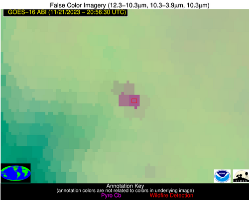
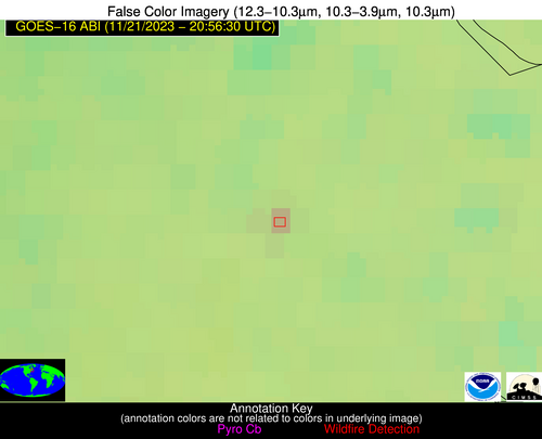
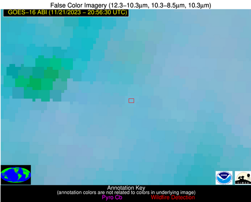
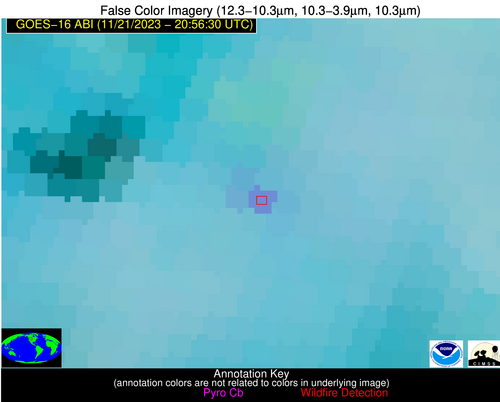
Possible Wildfire
| Basic Information | |
|---|---|
| State/Province(s) | ND |
| Country/Countries | USA |
| County/Locality(s) | Ramsey County, ND |
| NWS WFO | Grand Forks ND |
| Identification Method | Enhanced Contextual (Clear) |
| Mean Object Date/Time | 2023-11-21 20:56:20UTC |
| Radiative Center (Lat, Lon): | 48.540000°, -98.570000° |
| Nearby Counties (meeting alert criteria): |
|
| Total Radiative Power Anomaly | n/a |
| Total Radiative Power | 58.48 MW |
| Map: | |
| Additional Information | |
| Alert Status | New Feature |
| Type of Event | Nominal Risk |
| Event Priority Ranking | 4 |
| Maximum Observed BT (3.9 um) | 288.54 K |
| Observed - Background BT (3.9 um) | 15.66 K |
| BT Anomaly (3.9 um) | 21.59 K |
| Maximum Observed - Clear RTM BT (3.9 um) | 17.66 K |
| Maximum Observed BTD (3.9-10/11/12 um) | 18.63 K |
| Observed - Background BTD (3.9-10/11/12 um) | 15.89 K |
| BTD Anomaly (3.9-10/11/12 um) | 23.17 K |
| Similar Pixel Count | 2 |
| BT Time Tendency (3.9 um) | 13.50 K |
| Image Interval | 5.00 minutes |
| Fraction of Surrounding LWIR Pixels that are Colder | 0.31 |
| Fraction of Surrounding Red Channel Pixels that are Brighter | 1.00 |
| Maximum Radiative Power | 35.20 MW |
| Maximum Radiative Power Uncertainty | 0.00 MW |
| Total Radiative Power Uncertainty | 0.00 MW |
| Mean Viewing Angle | 60.50° |
| Mean Solar Zenith Angle | 76.60° |
| Mean Glint Angle | 102.00° |
| Water Fraction | 0.00 |
| Total Pixel Area | 20.70 km2 |
| Latest Satellite Imagery: | |
| View all event imagery » | |
Possible Wildfire
| Basic Information | |
|---|---|
| State/Province(s) | ME |
| Country/Countries | USA |
| County/Locality(s) | Washington County, ME |
| NWS WFO | Caribou ME |
| Identification Method | Enhanced Contextual (Clear) |
| Mean Object Date/Time | 2023-11-21 20:56:23UTC |
| Radiative Center (Lat, Lon): | 44.940000°, -67.670000° |
| Nearby Counties (meeting alert criteria): |
|
| Total Radiative Power Anomaly | n/a |
| Total Radiative Power | 7.12 MW |
| Map: | |
| Additional Information | |
| Alert Status | New Feature |
| Type of Event | Nominal Risk |
| Event Priority Ranking | 4 |
| Maximum Observed BT (3.9 um) | 274.72 K |
| Observed - Background BT (3.9 um) | 5.88 K |
| BT Anomaly (3.9 um) | 9.58 K |
| Maximum Observed - Clear RTM BT (3.9 um) | 4.02 K |
| Maximum Observed BTD (3.9-10/11/12 um) | 6.53 K |
| Observed - Background BTD (3.9-10/11/12 um) | 6.00 K |
| BTD Anomaly (3.9-10/11/12 um) | 22.44 K |
| Similar Pixel Count | 1 |
| BT Time Tendency (3.9 um) | 0.90 K |
| Image Interval | 5.00 minutes |
| Fraction of Surrounding LWIR Pixels that are Colder | 0.38 |
| Fraction of Surrounding Red Channel Pixels that are Brighter | 1.00 |
| Maximum Radiative Power | 7.12 MW |
| Maximum Radiative Power Uncertainty | 0.00 MW |
| Total Radiative Power Uncertainty | 0.00 MW |
| Mean Viewing Angle | 52.60° |
| Mean Solar Zenith Angle | 90.50° |
| Mean Glint Angle | 119.90° |
| Water Fraction | 0.00 |
| Total Pixel Area | 7.40 km2 |
| Latest Satellite Imagery: | |
| View all event imagery » | |
Possible Wildfire
| Basic Information | |
|---|---|
| State/Province(s) | MT |
| Country/Countries | USA |
| County/Locality(s) | Big Horn County, MT |
| NWS WFO | Billings MT |
| Identification Method | Enhanced Contextual (Clear) |
| Mean Object Date/Time | 2023-11-21 20:56:19UTC |
| Radiative Center (Lat, Lon): | 45.670000°, -107.640000° |
| Nearby Counties (meeting alert criteria): |
|
| Total Radiative Power Anomaly | n/a |
| Total Radiative Power | 26.37 MW |
| Map: | |
| Additional Information | |
| Alert Status | New Feature |
| Type of Event | Nominal Risk |
| Event Priority Ranking | 4 |
| Maximum Observed BT (3.9 um) | 295.68 K |
| Observed - Background BT (3.9 um) | 7.98 K |
| BT Anomaly (3.9 um) | 13.15 K |
| Maximum Observed - Clear RTM BT (3.9 um) | 16.54 K |
| Maximum Observed BTD (3.9-10/11/12 um) | 12.95 K |
| Observed - Background BTD (3.9-10/11/12 um) | 7.20 K |
| BTD Anomaly (3.9-10/11/12 um) | 10.73 K |
| Similar Pixel Count | 2 |
| BT Time Tendency (3.9 um) | 2.50 K |
| Image Interval | 5.00 minutes |
| Fraction of Surrounding LWIR Pixels that are Colder | 0.87 |
| Fraction of Surrounding Red Channel Pixels that are Brighter | 0.79 |
| Maximum Radiative Power | 26.37 MW |
| Maximum Radiative Power Uncertainty | 0.00 MW |
| Total Radiative Power Uncertainty | 0.00 MW |
| Mean Viewing Angle | 61.90° |
| Mean Solar Zenith Angle | 70.80° |
| Mean Glint Angle | 96.20° |
| Water Fraction | 0.00 |
| Total Pixel Area | 11.90 km2 |
| Latest Satellite Imagery: | |
| View all event imagery » | |


