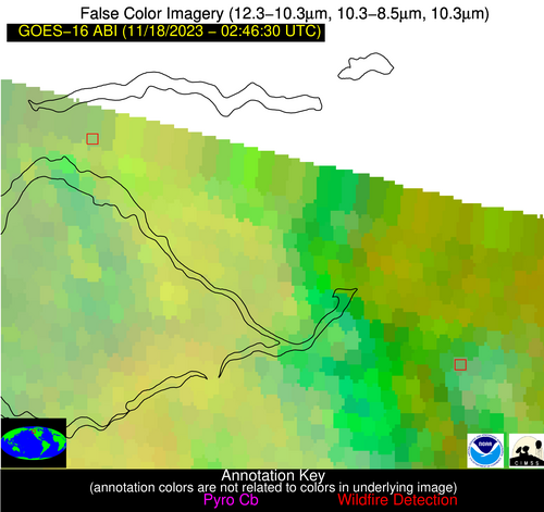
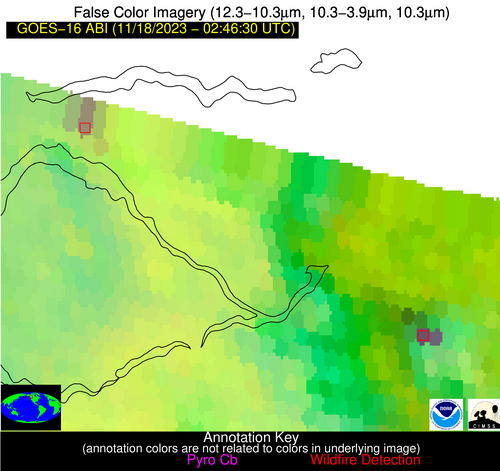
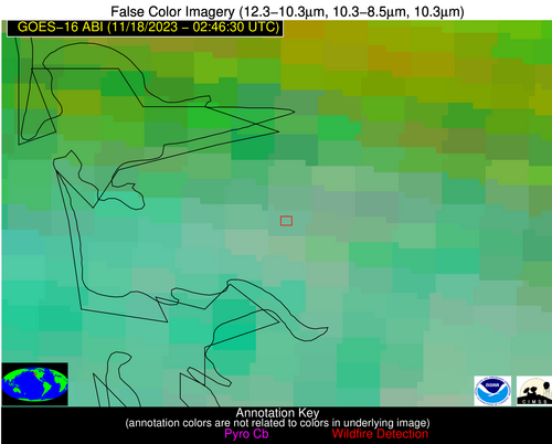
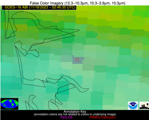
Wildfire Alert Report
| Date: | 2023-11-18 |
|---|---|
| Time: | 02:46:17 |
| Production Date and Time: | 2023-11-18 02:50:45 UTC |
| Primary Instrument: | GOES-16 ABI |
| Wmo Spacecraft Id: | 152 |
| Location/orbit: | GEO |
| L1 File: | OR_ABI-L1b-RadC-M6C14_G16_s20233220246173_e20233220248546_c20233220249011.nc |
| L1 File(s) - Temporal | OR_ABI-L1b-RadC-M6C14_G16_s20233220241173_e20233220243546_c20233220244020.nc |
| Number Of Thermal Anomaly Alerts: | 4 |
Possible Wildfire
| Basic Information | |
|---|---|
| State/Province(s) | Unknown |
| Country/Countries | Canada |
| County/Locality(s) | Canada |
| NWS WFO | N/A |
| Identification Method | Enhanced Contextual (Clear) |
| Mean Object Date/Time | 2023-11-18 02:46:19UTC |
| Radiative Center (Lat, Lon): | 53.900000°, -126.190000° |
| Nearby Counties (meeting alert criteria): |
|
| Total Radiative Power Anomaly | n/a |
| Total Radiative Power | 51.32 MW |
| Map: | |
| Additional Information | |
| Alert Status | New Feature |
| Type of Event | Nominal Risk |
| Event Priority Ranking | 4 |
| Maximum Observed BT (3.9 um) | 276.42 K |
| Observed - Background BT (3.9 um) | 13.29 K |
| BT Anomaly (3.9 um) | 4.96 K |
| Maximum Observed - Clear RTM BT (3.9 um) | 7.91 K |
| Maximum Observed BTD (3.9-10/11/12 um) | 12.02 K |
| Observed - Background BTD (3.9-10/11/12 um) | 12.73 K |
| BTD Anomaly (3.9-10/11/12 um) | 9.14 K |
| Similar Pixel Count | 1 |
| BT Time Tendency (3.9 um) | 12.20 K |
| Image Interval | 5.00 minutes |
| Fraction of Surrounding LWIR Pixels that are Colder | 0.77 |
| Fraction of Surrounding Red Channel Pixels that are Brighter | 1.00 |
| Maximum Radiative Power | 51.32 MW |
| Maximum Radiative Power Uncertainty | 0.00 MW |
| Total Radiative Power Uncertainty | 0.00 MW |
| Mean Viewing Angle | 77.50° |
| Mean Solar Zenith Angle | 110.50° |
| Mean Glint Angle | 49.40° |
| Water Fraction | 0.00 |
| Total Pixel Area | 44.90 km2 |
| Latest Satellite Imagery: | |
| View all event imagery » | |
Possible Wildfire
| Basic Information | |
|---|---|
| State/Province(s) | Unknown |
| Country/Countries | Canada |
| County/Locality(s) | Canada |
| NWS WFO | N/A |
| Identification Method | Enhanced Contextual (Bias) |
| Mean Object Date/Time | 2023-11-18 02:46:19UTC |
| Radiative Center (Lat, Lon): | 53.380000°, -124.260000° |
| Nearby Counties (meeting alert criteria): |
|
| Total Radiative Power Anomaly | n/a |
| Total Radiative Power | 199.54 MW |
| Map: | |
| Additional Information | |
| Alert Status | New Feature |
| Type of Event | Nominal Risk |
| Event Priority Ranking | 4 |
| Maximum Observed BT (3.9 um) | 282.88 K |
| Observed - Background BT (3.9 um) | 20.52 K |
| BT Anomaly (3.9 um) | 10.87 K |
| Maximum Observed - Clear RTM BT (3.9 um) | 13.50 K |
| Maximum Observed BTD (3.9-10/11/12 um) | 21.21 K |
| Observed - Background BTD (3.9-10/11/12 um) | 19.81 K |
| BTD Anomaly (3.9-10/11/12 um) | 13.80 K |
| Similar Pixel Count | 0 |
| BT Time Tendency (3.9 um) | 0.10 K |
| Image Interval | 5.00 minutes |
| Fraction of Surrounding LWIR Pixels that are Colder | 0.99 |
| Fraction of Surrounding Red Channel Pixels that are Brighter | 1.00 |
| Maximum Radiative Power | 108.41 MW |
| Maximum Radiative Power Uncertainty | 0.00 MW |
| Total Radiative Power Uncertainty | 0.00 MW |
| Mean Viewing Angle | 76.10° |
| Mean Solar Zenith Angle | 111.60° |
| Mean Glint Angle | 51.30° |
| Water Fraction | 0.00 |
| Total Pixel Area | 75.00 km2 |
| Latest Satellite Imagery: | |
| View all event imagery » | |
Possible Wildfire
| Basic Information | |
|---|---|
| State/Province(s) | WA |
| Country/Countries | USA |
| County/Locality(s) | Grays Harbor County, WA |
| NWS WFO | Seattle WA |
| Identification Method | Enhanced Contextual (Clear) |
| Mean Object Date/Time | 2023-11-18 02:46:18UTC |
| Radiative Center (Lat, Lon): | 46.830000°, -123.810000° |
| Nearby Counties (meeting alert criteria): |
|
| Total Radiative Power Anomaly | n/a |
| Total Radiative Power | 30.51 MW |
| Map: | |
| Additional Information | |
| Alert Status | New Feature |
| Type of Event | Nominal Risk |
| Event Priority Ranking | 4 |
| Maximum Observed BT (3.9 um) | 281.41 K |
| Observed - Background BT (3.9 um) | 7.08 K |
| BT Anomaly (3.9 um) | 6.93 K |
| Maximum Observed - Clear RTM BT (3.9 um) | 5.91 K |
| Maximum Observed BTD (3.9-10/11/12 um) | 10.77 K |
| Observed - Background BTD (3.9-10/11/12 um) | 7.04 K |
| BTD Anomaly (3.9-10/11/12 um) | 7.70 K |
| Similar Pixel Count | 5 |
| BT Time Tendency (3.9 um) | 1.90 K |
| Image Interval | 5.00 minutes |
| Fraction of Surrounding LWIR Pixels that are Colder | 0.82 |
| Fraction of Surrounding Red Channel Pixels that are Brighter | 1.00 |
| Maximum Radiative Power | 30.51 MW |
| Maximum Radiative Power Uncertainty | 0.00 MW |
| Total Radiative Power Uncertainty | 0.00 MW |
| Mean Viewing Angle | 71.90° |
| Mean Solar Zenith Angle | 111.50° |
| Mean Glint Angle | 54.30° |
| Water Fraction | 0.00 |
| Total Pixel Area | 25.60 km2 |
| Latest Satellite Imagery: | |
| View all event imagery » | |
Possible Wildfire
| Basic Information | |
|---|---|
| State/Province(s) | OK |
| Country/Countries | USA |
| County/Locality(s) | Lincoln County, OK |
| NWS WFO | Norman OK |
| Identification Method | Enhanced Contextual (Clear) |
| Mean Object Date/Time | 2023-11-18 02:47:20UTC |
| Radiative Center (Lat, Lon): | 35.770000°, -96.900000° |
| Nearby Counties (meeting alert criteria): |
|
| Total Radiative Power Anomaly | n/a |
| Total Radiative Power | 6.71 MW |
| Map: | |
| Additional Information | |
| Alert Status | New Feature |
| Type of Event | Nominal Risk |
| Event Priority Ranking | 4 |
| Maximum Observed BT (3.9 um) | 282.07 K |
| Observed - Background BT (3.9 um) | 4.82 K |
| BT Anomaly (3.9 um) | 8.63 K |
| Maximum Observed - Clear RTM BT (3.9 um) | 3.03 K |
| Maximum Observed BTD (3.9-10/11/12 um) | 3.62 K |
| Observed - Background BTD (3.9-10/11/12 um) | 4.53 K |
| BTD Anomaly (3.9-10/11/12 um) | 29.04 K |
| Similar Pixel Count | 1 |
| BT Time Tendency (3.9 um) | 3.10 K |
| Image Interval | 5.00 minutes |
| Fraction of Surrounding LWIR Pixels that are Colder | 0.65 |
| Fraction of Surrounding Red Channel Pixels that are Brighter | 1.00 |
| Maximum Radiative Power | 6.71 MW |
| Maximum Radiative Power Uncertainty | 0.00 MW |
| Total Radiative Power Uncertainty | 0.00 MW |
| Mean Viewing Angle | 47.70° |
| Mean Solar Zenith Angle | 131.80° |
| Mean Glint Angle | 95.20° |
| Water Fraction | 0.00 |
| Total Pixel Area | 6.90 km2 |
| Latest Satellite Imagery: | |
| View all event imagery » | |
