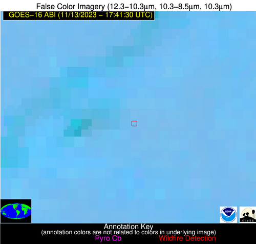
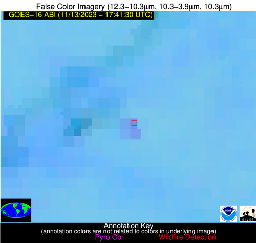
Wildfire Alert Report
| Date: | 2023-11-13 |
|---|---|
| Time: | 17:41:17 |
| Production Date and Time: | 2023-11-13 17:45:51 UTC |
| Primary Instrument: | GOES-16 ABI |
| Wmo Spacecraft Id: | 152 |
| Location/orbit: | GEO |
| L1 File: | OR_ABI-L1b-RadC-M6C14_G16_s20233171741171_e20233171743544_c20233171744029.nc |
| L1 File(s) - Temporal | OR_ABI-L1b-RadC-M6C14_G16_s20233171736171_e20233171738544_c20233171739034.nc |
| Number Of Thermal Anomaly Alerts: | 6 |
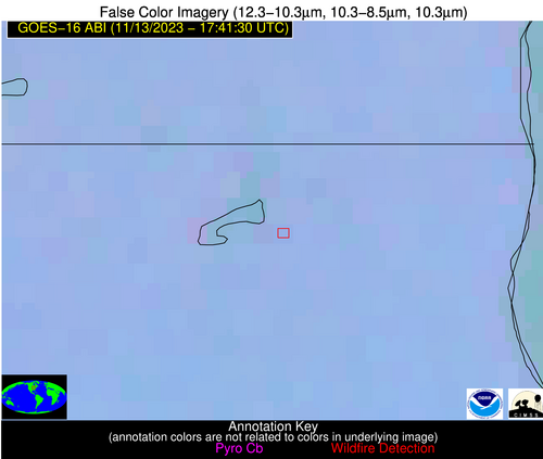
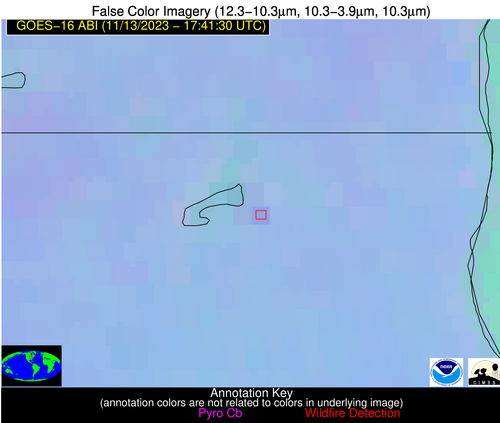
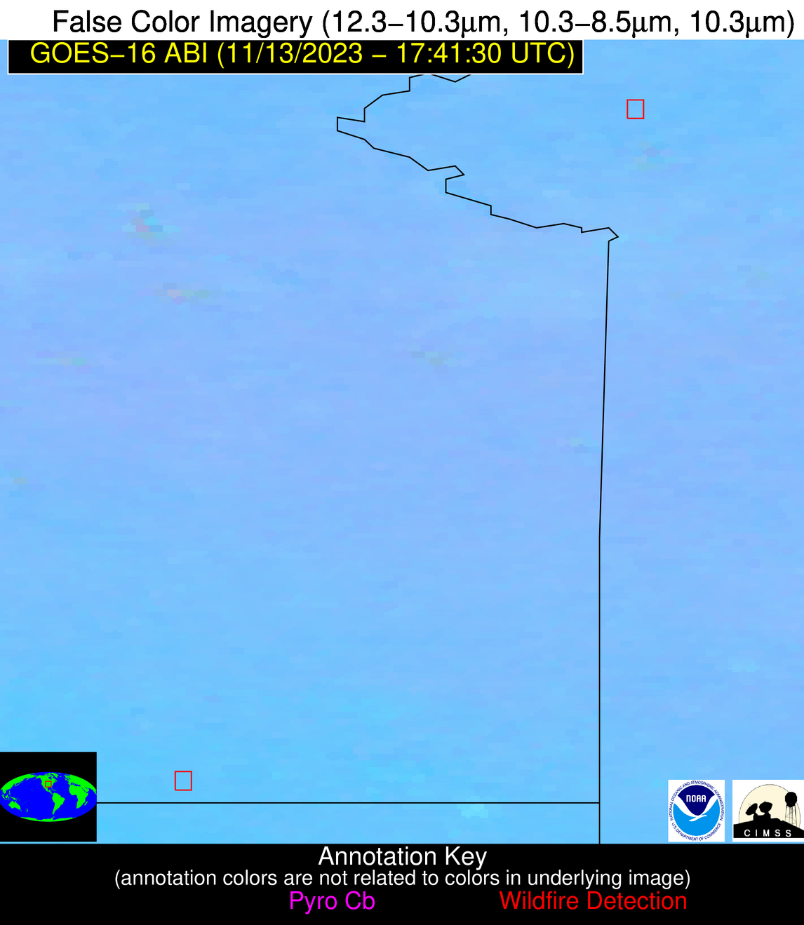
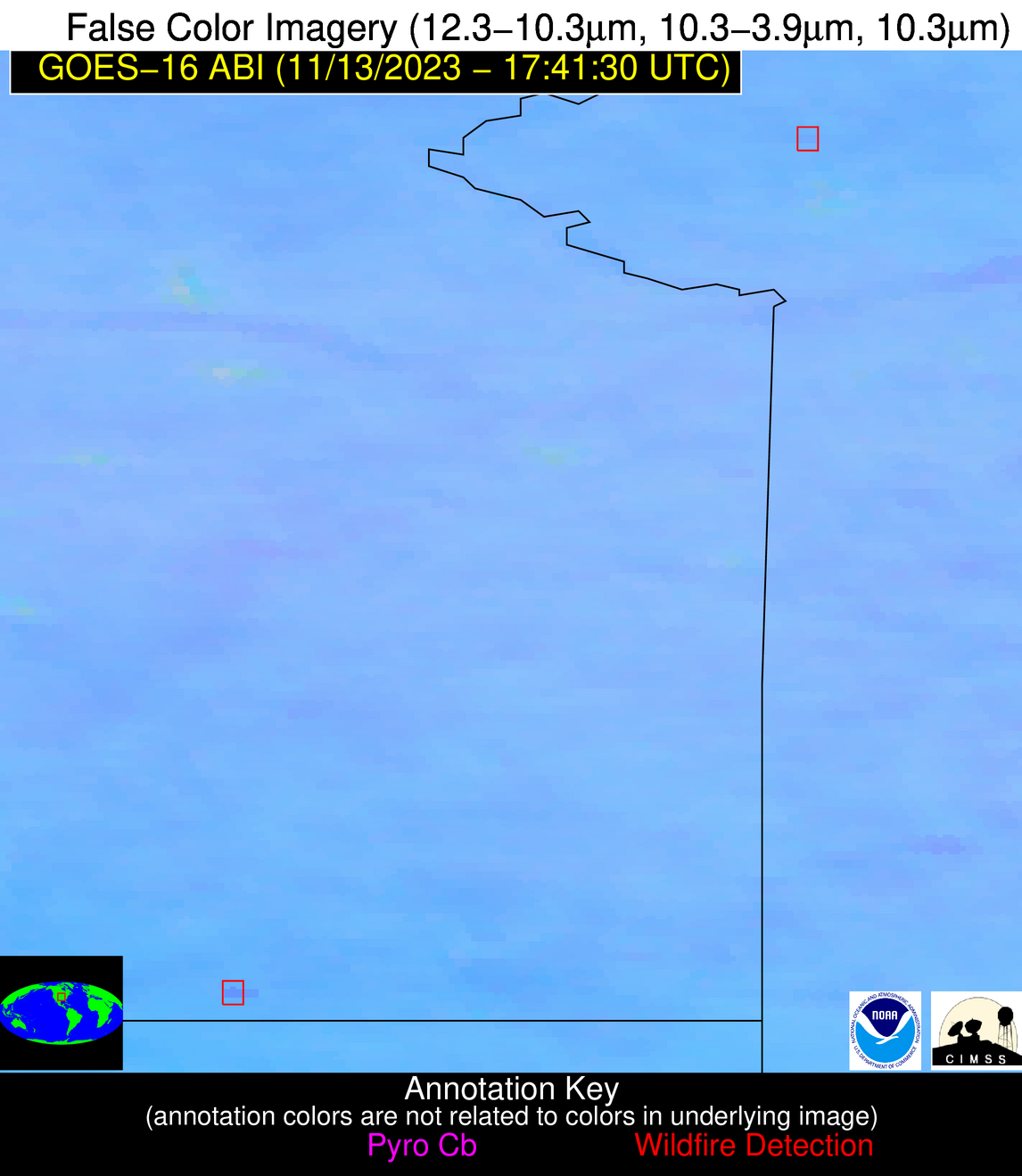
Possible Wildfire
| Basic Information | |
|---|---|
| State/Province(s) | IL |
| Country/Countries | USA |
| County/Locality(s) | Lake County, IL |
| NWS WFO | Chicago IL |
| Identification Method | Enhanced Contextual (Clear) |
| Mean Object Date/Time | 2023-11-13 17:41:51UTC |
| Radiative Center (Lat, Lon): | 42.390000°, -88.120000° |
| Nearby Counties (meeting alert criteria): |
|
| Total Radiative Power Anomaly | n/a |
| Total Radiative Power | 9.22 MW |
| Map: | |
| Additional Information | |
| Alert Status | New Feature |
| Type of Event | Nominal Risk |
| Event Priority Ranking | 4 |
| Maximum Observed BT (3.9 um) | 296.12 K |
| Observed - Background BT (3.9 um) | 3.06 K |
| BT Anomaly (3.9 um) | 3.75 K |
| Maximum Observed - Clear RTM BT (3.9 um) | 11.86 K |
| Maximum Observed BTD (3.9-10/11/12 um) | 9.08 K |
| Observed - Background BTD (3.9-10/11/12 um) | 3.20 K |
| BTD Anomaly (3.9-10/11/12 um) | 6.35 K |
| Similar Pixel Count | 5 |
| BT Time Tendency (3.9 um) | 2.50 K |
| Image Interval | 5.00 minutes |
| Fraction of Surrounding LWIR Pixels that are Colder | 0.31 |
| Fraction of Surrounding Red Channel Pixels that are Brighter | 1.00 |
| Maximum Radiative Power | 9.22 MW |
| Maximum Radiative Power Uncertainty | 0.00 MW |
| Total Radiative Power Uncertainty | 0.00 MW |
| Mean Viewing Angle | 50.90° |
| Mean Solar Zenith Angle | 60.10° |
| Mean Glint Angle | 108.50° |
| Water Fraction | 0.00 |
| Total Pixel Area | 7.30 km2 |
| Latest Satellite Imagery: | |
| View all event imagery » | |
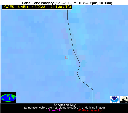
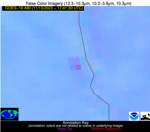
Possible Wildfire
| Basic Information | |
|---|---|
| State/Province(s) | MO |
| Country/Countries | USA |
| County/Locality(s) | Lewis County, MO |
| NWS WFO | St Louis MO |
| Identification Method | Enhanced Contextual (Clear) |
| Mean Object Date/Time | 2023-11-13 17:41:51UTC |
| Radiative Center (Lat, Lon): | 39.970000°, -91.500000° |
| Nearby Counties (meeting alert criteria): |
|
| Total Radiative Power Anomaly | n/a |
| Total Radiative Power | 18.94 MW |
| Map: | |
| Additional Information | |
| Alert Status | New Feature |
| Type of Event | Nominal Risk |
| Event Priority Ranking | 4 |
| Maximum Observed BT (3.9 um) | 309.82 K |
| Observed - Background BT (3.9 um) | 6.52 K |
| BT Anomaly (3.9 um) | 5.58 K |
| Maximum Observed - Clear RTM BT (3.9 um) | 19.82 K |
| Maximum Observed BTD (3.9-10/11/12 um) | 13.21 K |
| Observed - Background BTD (3.9-10/11/12 um) | 4.76 K |
| BTD Anomaly (3.9-10/11/12 um) | 6.60 K |
| Similar Pixel Count | 6 |
| BT Time Tendency (3.9 um) | 3.50 K |
| Image Interval | 5.00 minutes |
| Fraction of Surrounding LWIR Pixels that are Colder | 1.00 |
| Fraction of Surrounding Red Channel Pixels that are Brighter | 0.92 |
| Maximum Radiative Power | 18.94 MW |
| Maximum Radiative Power Uncertainty | 0.00 MW |
| Total Radiative Power Uncertainty | 0.00 MW |
| Mean Viewing Angle | 49.40° |
| Mean Solar Zenith Angle | 57.70° |
| Mean Glint Angle | 104.40° |
| Water Fraction | 0.00 |
| Total Pixel Area | 7.10 km2 |
| Latest Satellite Imagery: | |
| View all event imagery » | |
Possible Wildfire
| Basic Information | |
|---|---|
| State/Province(s) | MO |
| Country/Countries | USA |
| County/Locality(s) | Clinton County, MO |
| NWS WFO | Kansas City/Pleasant Hill MO |
| Identification Method | Enhanced Contextual (Clear) |
| Mean Object Date/Time | 2023-11-13 17:41:50UTC |
| Radiative Center (Lat, Lon): | 39.610000°, -94.550000° |
| Nearby Counties (meeting alert criteria): |
|
| Total Radiative Power Anomaly | n/a |
| Total Radiative Power | 4.31 MW |
| Map: | |
| Additional Information | |
| Alert Status | New Feature |
| Type of Event | Nominal Risk |
| Event Priority Ranking | 4 |
| Maximum Observed BT (3.9 um) | 301.92 K |
| Observed - Background BT (3.9 um) | 2.18 K |
| BT Anomaly (3.9 um) | 2.20 K |
| Maximum Observed - Clear RTM BT (3.9 um) | 12.08 K |
| Maximum Observed BTD (3.9-10/11/12 um) | 8.53 K |
| Observed - Background BTD (3.9-10/11/12 um) | 1.59 K |
| BTD Anomaly (3.9-10/11/12 um) | 2.94 K |
| Similar Pixel Count | 25 |
| BT Time Tendency (3.9 um) | 1.00 K |
| Image Interval | 5.00 minutes |
| Fraction of Surrounding LWIR Pixels that are Colder | 0.87 |
| Fraction of Surrounding Red Channel Pixels that are Brighter | 1.00 |
| Maximum Radiative Power | 4.31 MW |
| Maximum Radiative Power Uncertainty | 0.00 MW |
| Total Radiative Power Uncertainty | 0.00 MW |
| Mean Viewing Angle | 50.30° |
| Mean Solar Zenith Angle | 57.50° |
| Mean Glint Angle | 104.80° |
| Water Fraction | 0.00 |
| Total Pixel Area | 7.30 km2 |
| Latest Satellite Imagery: | |
| View all event imagery » | |
Possible Wildfire
| Basic Information | |
|---|---|
| State/Province(s) | KS |
| Country/Countries | USA |
| County/Locality(s) | Labette County, KS |
| NWS WFO | Wichita KS |
| Identification Method | Enhanced Contextual (Clear) |
| Mean Object Date/Time | 2023-11-13 17:41:50UTC |
| Radiative Center (Lat, Lon): | 37.080000°, -95.380000° |
| Nearby Counties (meeting alert criteria): |
|
| Total Radiative Power Anomaly | n/a |
| Total Radiative Power | 27.57 MW |
| Map: | |
| Additional Information | |
| Alert Status | New Feature |
| Type of Event | Nominal Risk |
| Event Priority Ranking | 4 |
| Maximum Observed BT (3.9 um) | 305.54 K |
| Observed - Background BT (3.9 um) | 4.54 K |
| BT Anomaly (3.9 um) | 4.36 K |
| Maximum Observed - Clear RTM BT (3.9 um) | 13.87 K |
| Maximum Observed BTD (3.9-10/11/12 um) | 11.98 K |
| Observed - Background BTD (3.9-10/11/12 um) | 4.58 K |
| BTD Anomaly (3.9-10/11/12 um) | 8.54 K |
| Similar Pixel Count | 4 |
| BT Time Tendency (3.9 um) | 3.60 K |
| Image Interval | 5.00 minutes |
| Fraction of Surrounding LWIR Pixels that are Colder | 0.41 |
| Fraction of Surrounding Red Channel Pixels that are Brighter | 1.00 |
| Maximum Radiative Power | 27.57 MW |
| Maximum Radiative Power Uncertainty | 0.00 MW |
| Total Radiative Power Uncertainty | 0.00 MW |
| Mean Viewing Angle | 48.20° |
| Mean Solar Zenith Angle | 55.10° |
| Mean Glint Angle | 100.10° |
| Water Fraction | 0.00 |
| Total Pixel Area | 13.90 km2 |
| Latest Satellite Imagery: | |
| View all event imagery » | |
Possible Wildfire
| Basic Information | |
|---|---|
| State/Province(s) | AR |
| Country/Countries | USA |
| County/Locality(s) | Independence County, AR |
| NWS WFO | Little Rock AR |
| Identification Method | Enhanced Contextual (Clear) |
| Mean Object Date/Time | 2023-11-13 17:42:21UTC |
| Radiative Center (Lat, Lon): | 35.860000°, -91.520000° |
| Nearby Counties (meeting alert criteria): |
|
| Total Radiative Power Anomaly | n/a |
| Total Radiative Power | 9.35 MW |
| Map: | |
| Additional Information | |
| Alert Status | New Feature |
| Type of Event | Nominal Risk |
| Event Priority Ranking | 4 |
| Maximum Observed BT (3.9 um) | 300.71 K |
| Observed - Background BT (3.9 um) | 3.77 K |
| BT Anomaly (3.9 um) | 4.48 K |
| Maximum Observed - Clear RTM BT (3.9 um) | 12.31 K |
| Maximum Observed BTD (3.9-10/11/12 um) | 9.48 K |
| Observed - Background BTD (3.9-10/11/12 um) | 3.26 K |
| BTD Anomaly (3.9-10/11/12 um) | 5.50 K |
| Similar Pixel Count | 9 |
| BT Time Tendency (3.9 um) | 1.50 K |
| Image Interval | 5.00 minutes |
| Fraction of Surrounding LWIR Pixels that are Colder | 0.83 |
| Fraction of Surrounding Red Channel Pixels that are Brighter | 1.00 |
| Maximum Radiative Power | 9.35 MW |
| Maximum Radiative Power Uncertainty | 0.00 MW |
| Total Radiative Power Uncertainty | 0.00 MW |
| Mean Viewing Angle | 45.30° |
| Mean Solar Zenith Angle | 53.60° |
| Mean Glint Angle | 96.10° |
| Water Fraction | 0.00 |
| Total Pixel Area | 6.40 km2 |
| Latest Satellite Imagery: | |
| View all event imagery » | |
Possible Wildfire
| Basic Information | |
|---|---|
| State/Province(s) | SC |
| Country/Countries | USA |
| County/Locality(s) | Richland County, SC |
| NWS WFO | Columbia SC |
| Identification Method | Enhanced Contextual (Clear) |
| Mean Object Date/Time | 2023-11-13 17:42:22UTC |
| Radiative Center (Lat, Lon): | 34.060000°, -80.800000° |
| Nearby Counties (meeting alert criteria): |
|
| Total Radiative Power Anomaly | n/a |
| Total Radiative Power | 17.07 MW |
| Map: | |
| Additional Information | |
| Alert Status | New Feature |
| Type of Event | Nominal Risk |
| Event Priority Ranking | 4 |
| Maximum Observed BT (3.9 um) | 300.38 K |
| Observed - Background BT (3.9 um) | 6.03 K |
| BT Anomaly (3.9 um) | 3.83 K |
| Maximum Observed - Clear RTM BT (3.9 um) | 11.67 K |
| Maximum Observed BTD (3.9-10/11/12 um) | 12.09 K |
| Observed - Background BTD (3.9-10/11/12 um) | 6.08 K |
| BTD Anomaly (3.9-10/11/12 um) | 4.88 K |
| Similar Pixel Count | 4 |
| BT Time Tendency (3.9 um) | 5.30 K |
| Image Interval | 5.00 minutes |
| Fraction of Surrounding LWIR Pixels that are Colder | 0.53 |
| Fraction of Surrounding Red Channel Pixels that are Brighter | 1.00 |
| Maximum Radiative Power | 17.07 MW |
| Maximum Radiative Power Uncertainty | 0.00 MW |
| Total Radiative Power Uncertainty | 0.00 MW |
| Mean Viewing Angle | 40.20° |
| Mean Solar Zenith Angle | 52.40° |
| Mean Glint Angle | 90.80° |
| Water Fraction | 0.00 |
| Total Pixel Area | 5.70 km2 |
| Latest Satellite Imagery: | |
| View all event imagery » | |
