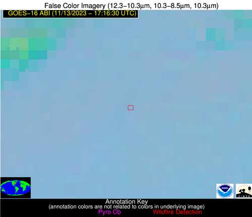
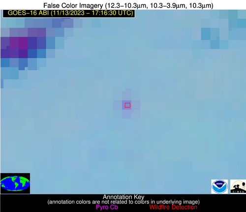
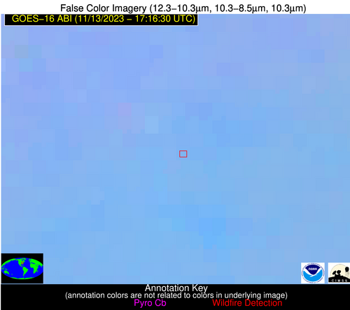
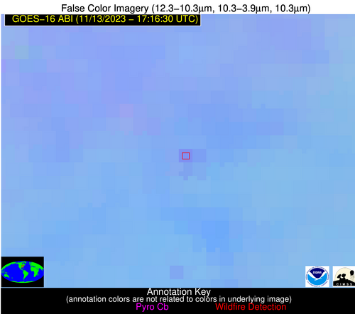
Wildfire Alert Report
| Date: | 2023-11-13 |
|---|---|
| Time: | 17:16:17 |
| Production Date and Time: | 2023-11-13 17:20:51 UTC |
| Primary Instrument: | GOES-16 ABI |
| Wmo Spacecraft Id: | 152 |
| Location/orbit: | GEO |
| L1 File: | OR_ABI-L1b-RadC-M6C14_G16_s20233171716171_e20233171718544_c20233171718592.nc |
| L1 File(s) - Temporal | OR_ABI-L1b-RadC-M6C14_G16_s20233171711171_e20233171713544_c20233171714030.nc |
| Number Of Thermal Anomaly Alerts: | 3 |
Possible Wildfire
| Basic Information | |
|---|---|
| State/Province(s) | IL |
| Country/Countries | USA |
| County/Locality(s) | Kendall County, IL |
| NWS WFO | Chicago IL |
| Identification Method | Enhanced Contextual (Clear) |
| Mean Object Date/Time | 2023-11-13 17:16:51UTC |
| Radiative Center (Lat, Lon): | 41.680000°, -88.580000° |
| Nearby Counties (meeting alert criteria): |
|
| Total Radiative Power Anomaly | n/a |
| Total Radiative Power | 44.20 MW |
| Map: | |
| Additional Information | |
| Alert Status | New Feature |
| Type of Event | Nominal Risk |
| Event Priority Ranking | 4 |
| Maximum Observed BT (3.9 um) | 303.20 K |
| Observed - Background BT (3.9 um) | 5.34 K |
| BT Anomaly (3.9 um) | 4.86 K |
| Maximum Observed - Clear RTM BT (3.9 um) | 18.02 K |
| Maximum Observed BTD (3.9-10/11/12 um) | 14.49 K |
| Observed - Background BTD (3.9-10/11/12 um) | 5.76 K |
| BTD Anomaly (3.9-10/11/12 um) | 7.47 K |
| Similar Pixel Count | 3 |
| BT Time Tendency (3.9 um) | 6.20 K |
| Image Interval | 5.00 minutes |
| Fraction of Surrounding LWIR Pixels that are Colder | 0.16 |
| Fraction of Surrounding Red Channel Pixels that are Brighter | 0.99 |
| Maximum Radiative Power | 22.16 MW |
| Maximum Radiative Power Uncertainty | 0.00 MW |
| Total Radiative Power Uncertainty | 0.00 MW |
| Mean Viewing Angle | 50.30° |
| Mean Solar Zenith Angle | 59.60° |
| Mean Glint Angle | 108.80° |
| Water Fraction | 0.00 |
| Total Pixel Area | 14.30 km2 |
| Latest Satellite Imagery: | |
| View all event imagery » | |
Possible Wildfire
| Basic Information | |
|---|---|
| State/Province(s) | PA |
| Country/Countries | USA |
| County/Locality(s) | Clearfield County, PA |
| NWS WFO | State College PA |
| Identification Method | Enhanced Contextual (Clear) |
| Mean Object Date/Time | 2023-11-13 17:16:52UTC |
| Radiative Center (Lat, Lon): | 41.150000°, -78.380000° |
| Nearby Counties (meeting alert criteria): |
|
| Total Radiative Power Anomaly | n/a |
| Total Radiative Power | 15.16 MW |
| Map: | |
| Additional Information | |
| Alert Status | New Feature |
| Type of Event | Nominal Risk |
| Event Priority Ranking | 4 |
| Maximum Observed BT (3.9 um) | 295.63 K |
| Observed - Background BT (3.9 um) | 6.63 K |
| BT Anomaly (3.9 um) | 10.30 K |
| Maximum Observed - Clear RTM BT (3.9 um) | 17.24 K |
| Maximum Observed BTD (3.9-10/11/12 um) | 12.83 K |
| Observed - Background BTD (3.9-10/11/12 um) | 6.49 K |
| BTD Anomaly (3.9-10/11/12 um) | 17.98 K |
| Similar Pixel Count | 2 |
| BT Time Tendency (3.9 um) | 3.00 K |
| Image Interval | 5.00 minutes |
| Fraction of Surrounding LWIR Pixels that are Colder | 0.66 |
| Fraction of Surrounding Red Channel Pixels that are Brighter | 1.00 |
| Maximum Radiative Power | 15.16 MW |
| Maximum Radiative Power Uncertainty | 0.00 MW |
| Total Radiative Power Uncertainty | 0.00 MW |
| Mean Viewing Angle | 47.90° |
| Mean Solar Zenith Angle | 59.00° |
| Mean Glint Angle | 106.40° |
| Water Fraction | 0.00 |
| Total Pixel Area | 6.60 km2 |
| Latest Satellite Imagery: | |
| View all event imagery » | |
Possible Wildfire
| Basic Information | |
|---|---|
| State/Province(s) | OH |
| Country/Countries | USA |
| County/Locality(s) | Ross County, OH |
| NWS WFO | Wilmington OH |
| Identification Method | Enhanced Contextual (Clear) |
| Mean Object Date/Time | 2023-11-13 17:16:52UTC |
| Radiative Center (Lat, Lon): | 39.420000°, -82.940000° |
| Nearby Counties (meeting alert criteria): |
|
| Total Radiative Power Anomaly | n/a |
| Total Radiative Power | 11.67 MW |
| Map: | |
| Additional Information | |
| Alert Status | New Feature |
| Type of Event | Nominal Risk |
| Event Priority Ranking | 4 |
| Maximum Observed BT (3.9 um) | 300.79 K |
| Observed - Background BT (3.9 um) | 4.36 K |
| BT Anomaly (3.9 um) | 2.87 K |
| Maximum Observed - Clear RTM BT (3.9 um) | 15.01 K |
| Maximum Observed BTD (3.9-10/11/12 um) | 11.89 K |
| Observed - Background BTD (3.9-10/11/12 um) | 4.31 K |
| BTD Anomaly (3.9-10/11/12 um) | 4.68 K |
| Similar Pixel Count | 18 |
| BT Time Tendency (3.9 um) | 3.40 K |
| Image Interval | 5.00 minutes |
| Fraction of Surrounding LWIR Pixels that are Colder | 0.51 |
| Fraction of Surrounding Red Channel Pixels that are Brighter | 1.00 |
| Maximum Radiative Power | 11.67 MW |
| Maximum Radiative Power Uncertainty | 0.00 MW |
| Total Radiative Power Uncertainty | 0.00 MW |
| Mean Viewing Angle | 46.60° |
| Mean Solar Zenith Angle | 57.10° |
| Mean Glint Angle | 102.90° |
| Water Fraction | 0.00 |
| Total Pixel Area | 6.40 km2 |
| Latest Satellite Imagery: | |
| View all event imagery » | |


