Wildfire Alert Report
| Date: | 2023-11-12 |
|---|---|
| Time: | 18:16:17 |
| Production Date and Time: | 2023-11-12 18:20:54 UTC |
| Primary Instrument: | GOES-16 ABI |
| Wmo Spacecraft Id: | 152 |
| Location/orbit: | GEO |
| L1 File: | OR_ABI-L1b-RadC-M6C14_G16_s20233161816170_e20233161818543_c20233161819023.nc |
| L1 File(s) - Temporal | OR_ABI-L1b-RadC-M6C14_G16_s20233161811170_e20233161813543_c20233161814030.nc |
| Number Of Thermal Anomaly Alerts: | 2 |
Possible Wildfire
| Basic Information | |
|---|---|
| State/Province(s) | SD |
| Country/Countries | USA |
| County/Locality(s) | Day County, SD |
| NWS WFO | Aberdeen SD |
| Identification Method | Enhanced Contextual (Clear) |
| Mean Object Date/Time | 2023-11-12 18:16:20UTC |
| Radiative Center (Lat, Lon): | 45.260000°, -97.230000° |
| Nearby Counties (meeting alert criteria): |
|
| Total Radiative Power Anomaly | n/a |
| Total Radiative Power | 20.99 MW |
| Map: | |
| Additional Information | |
| Alert Status | New Feature |
| Type of Event | Nominal Risk |
| Event Priority Ranking | 4 |
| Maximum Observed BT (3.9 um) | 294.63 K |
| Observed - Background BT (3.9 um) | 3.70 K |
| BT Anomaly (3.9 um) | 2.25 K |
| Maximum Observed - Clear RTM BT (3.9 um) | 12.93 K |
| Maximum Observed BTD (3.9-10/11/12 um) | 11.01 K |
| Observed - Background BTD (3.9-10/11/12 um) | 3.54 K |
| BTD Anomaly (3.9-10/11/12 um) | 4.46 K |
| Similar Pixel Count | 18 |
| BT Time Tendency (3.9 um) | 2.60 K |
| Image Interval | 5.00 minutes |
| Fraction of Surrounding LWIR Pixels that are Colder | 0.65 |
| Fraction of Surrounding Red Channel Pixels that are Brighter | 0.96 |
| Maximum Radiative Power | 11.62 MW |
| Maximum Radiative Power Uncertainty | 0.00 MW |
| Total Radiative Power Uncertainty | 0.00 MW |
| Mean Viewing Angle | 56.80° |
| Mean Solar Zenith Angle | 62.70° |
| Mean Glint Angle | 113.00° |
| Water Fraction | 0.00 |
| Total Pixel Area | 18.10 km2 |
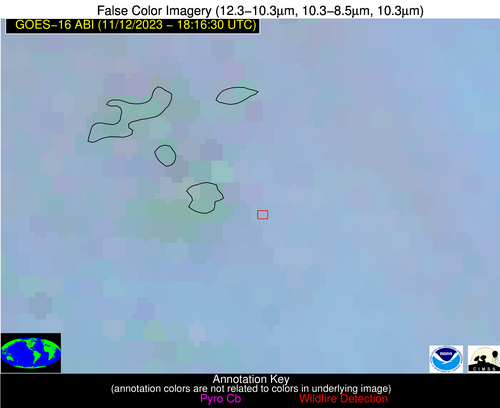
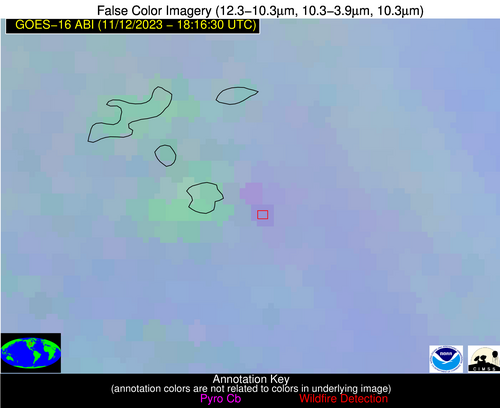
| Latest Satellite Imagery: | |
| View all event imagery » | |
Possible Wildfire
| Basic Information | |
|---|---|
| State/Province(s) | IL |
| Country/Countries | USA |
| County/Locality(s) | Kane County, IL |
| NWS WFO | Chicago IL |
| Identification Method | Enhanced Contextual (Clear) |
| Mean Object Date/Time | 2023-11-12 18:16:51UTC |
| Radiative Center (Lat, Lon): | 41.800000°, -88.550000° |
| Nearby Counties (meeting alert criteria): |
|
| Total Radiative Power Anomaly | n/a |
| Total Radiative Power | 33.89 MW |
| Map: | |
| Additional Information | |
| Alert Status | New Feature |
| Type of Event | Nominal Risk |
| Event Priority Ranking | 4 |
| Maximum Observed BT (3.9 um) | 299.92 K |
| Observed - Background BT (3.9 um) | 7.12 K |
| BT Anomaly (3.9 um) | 6.20 K |
| Maximum Observed - Clear RTM BT (3.9 um) | 16.93 K |
| Maximum Observed BTD (3.9-10/11/12 um) | 15.39 K |
| Observed - Background BTD (3.9-10/11/12 um) | 6.57 K |
| BTD Anomaly (3.9-10/11/12 um) | 7.45 K |
| Similar Pixel Count | 7 |
| BT Time Tendency (3.9 um) | 3.80 K |
| Image Interval | 5.00 minutes |
| Fraction of Surrounding LWIR Pixels that are Colder | 0.92 |
| Fraction of Surrounding Red Channel Pixels that are Brighter | 1.00 |
| Maximum Radiative Power | 17.72 MW |
| Maximum Radiative Power Uncertainty | 0.00 MW |
| Total Radiative Power Uncertainty | 0.00 MW |
| Mean Viewing Angle | 50.40° |
| Mean Solar Zenith Angle | 59.90° |
| Mean Glint Angle | 104.90° |
| Water Fraction | 0.00 |
| Total Pixel Area | 14.30 km2 |
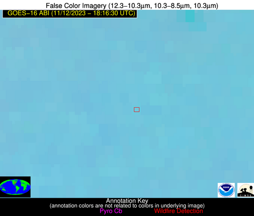
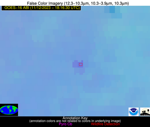
| Latest Satellite Imagery: | |
| View all event imagery » | |


