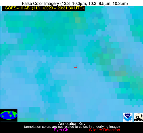
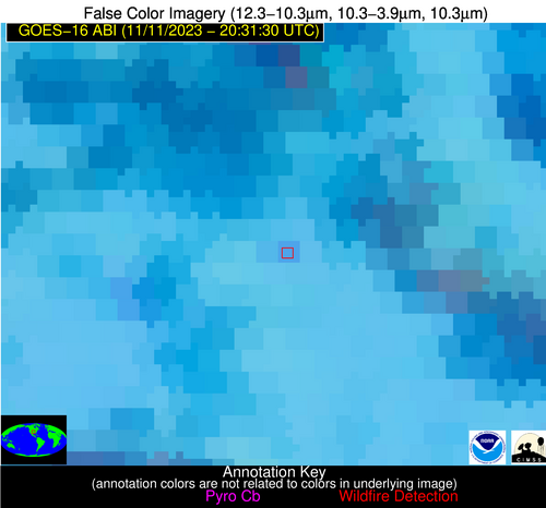
Wildfire Alert Report
| Date: | 2023-11-11 |
|---|---|
| Time: | 20:31:17 |
| Production Date and Time: | 2023-11-11 20:36:06 UTC |
| Primary Instrument: | GOES-16 ABI |
| Wmo Spacecraft Id: | 152 |
| Location/orbit: | GEO |
| L1 File: | OR_ABI-L1b-RadC-M6C14_G16_s20233152031170_e20233152033543_c20233152034009.nc |
| L1 File(s) - Temporal | OR_ABI-L1b-RadC-M6C14_G16_s20233152026170_e20233152028543_c20233152029020.nc |
| Number Of Thermal Anomaly Alerts: | 3 |
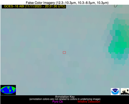
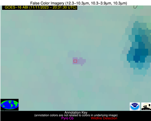
Possible Wildfire
| Basic Information | |
|---|---|
| State/Province(s) | ND |
| Country/Countries | USA |
| County/Locality(s) | Emmons County, ND |
| NWS WFO | Bismarck ND |
| Identification Method | Enhanced Contextual (Clear) |
| Mean Object Date/Time | 2023-11-11 20:31:20UTC |
| Radiative Center (Lat, Lon): | 46.200000°, -100.110000° |
| Nearby Counties (meeting alert criteria): |
|
| Total Radiative Power Anomaly | n/a |
| Total Radiative Power | 26.50 MW |
| Map: | |
| Additional Information | |
| Alert Status | New Feature |
| Type of Event | Nominal Risk |
| Event Priority Ranking | 4 |
| Maximum Observed BT (3.9 um) | 289.24 K |
| Observed - Background BT (3.9 um) | 6.10 K |
| BT Anomaly (3.9 um) | 14.15 K |
| Maximum Observed - Clear RTM BT (3.9 um) | 14.59 K |
| Maximum Observed BTD (3.9-10/11/12 um) | 10.93 K |
| Observed - Background BTD (3.9-10/11/12 um) | 5.74 K |
| BTD Anomaly (3.9-10/11/12 um) | 18.89 K |
| Similar Pixel Count | 2 |
| BT Time Tendency (3.9 um) | 4.70 K |
| Image Interval | 5.00 minutes |
| Fraction of Surrounding LWIR Pixels that are Colder | 0.83 |
| Fraction of Surrounding Red Channel Pixels that are Brighter | 1.00 |
| Maximum Radiative Power | 14.68 MW |
| Maximum Radiative Power Uncertainty | 0.00 MW |
| Total Radiative Power Uncertainty | 0.00 MW |
| Mean Viewing Angle | 58.80° |
| Mean Solar Zenith Angle | 69.60° |
| Mean Glint Angle | 99.00° |
| Water Fraction | 0.00 |
| Total Pixel Area | 19.70 km2 |
| Latest Satellite Imagery: | |
| View all event imagery » | |
Possible Wildfire
| Basic Information | |
|---|---|
| State/Province(s) | CA |
| Country/Countries | USA |
| County/Locality(s) | Humboldt County, CA |
| NWS WFO | Eureka CA |
| Identification Method | Enhanced Contextual (Clear) |
| Mean Object Date/Time | 2023-11-11 20:31:48UTC |
| Radiative Center (Lat, Lon): | 40.490000°, -123.730000° |
| Nearby Counties (meeting alert criteria): |
|
| Total Radiative Power Anomaly | n/a |
| Total Radiative Power | 18.05 MW |
| Map: | |
| Additional Information | |
| Alert Status | New Feature |
| Type of Event | Nominal Risk |
| Event Priority Ranking | 4 |
| Maximum Observed BT (3.9 um) | 290.75 K |
| Observed - Background BT (3.9 um) | 4.28 K |
| BT Anomaly (3.9 um) | 3.09 K |
| Maximum Observed - Clear RTM BT (3.9 um) | 9.06 K |
| Maximum Observed BTD (3.9-10/11/12 um) | 7.16 K |
| Observed - Background BTD (3.9-10/11/12 um) | 3.90 K |
| BTD Anomaly (3.9-10/11/12 um) | 5.34 K |
| Similar Pixel Count | 1 |
| BT Time Tendency (3.9 um) | 0.20 K |
| Image Interval | 5.00 minutes |
| Fraction of Surrounding LWIR Pixels that are Colder | 0.70 |
| Fraction of Surrounding Red Channel Pixels that are Brighter | 1.00 |
| Maximum Radiative Power | 18.05 MW |
| Maximum Radiative Power Uncertainty | 0.00 MW |
| Total Radiative Power Uncertainty | 0.00 MW |
| Mean Viewing Angle | 68.30° |
| Mean Solar Zenith Angle | 58.20° |
| Mean Glint Angle | 94.80° |
| Water Fraction | 0.00 |
| Total Pixel Area | 19.40 km2 |
| Latest Satellite Imagery: | |
| View all event imagery » | |
Possible Wildfire
| Basic Information | |
|---|---|
| State/Province(s) | OK |
| Country/Countries | USA |
| County/Locality(s) | Okfuskee County, OK |
| NWS WFO | Tulsa OK |
| Identification Method | Enhanced Contextual (Clear) |
| Mean Object Date/Time | 2023-11-11 20:32:20UTC |
| Radiative Center (Lat, Lon): | 35.500000°, -96.510000° |
| Nearby Counties (meeting alert criteria): |
|
| Total Radiative Power Anomaly | n/a |
| Total Radiative Power | 8.89 MW |
| Map: | |
| Additional Information | |
| Alert Status | New Feature |
| Type of Event | Nominal Risk |
| Event Priority Ranking | 4 |
| Maximum Observed BT (3.9 um) | 296.55 K |
| Observed - Background BT (3.9 um) | 3.67 K |
| BT Anomaly (3.9 um) | 4.63 K |
| Maximum Observed - Clear RTM BT (3.9 um) | 10.82 K |
| Maximum Observed BTD (3.9-10/11/12 um) | 10.28 K |
| Observed - Background BTD (3.9-10/11/12 um) | 3.69 K |
| BTD Anomaly (3.9-10/11/12 um) | 2.72 K |
| Similar Pixel Count | 11 |
| BT Time Tendency (3.9 um) | 1.40 K |
| Image Interval | 5.00 minutes |
| Fraction of Surrounding LWIR Pixels that are Colder | 0.75 |
| Fraction of Surrounding Red Channel Pixels that are Brighter | 1.00 |
| Maximum Radiative Power | 8.89 MW |
| Maximum Radiative Power Uncertainty | 0.00 MW |
| Total Radiative Power Uncertainty | 0.00 MW |
| Mean Viewing Angle | 47.20° |
| Mean Solar Zenith Angle | 62.40° |
| Mean Glint Angle | 83.20° |
| Water Fraction | 0.00 |
| Total Pixel Area | 6.80 km2 |
| Latest Satellite Imagery: | |
| View all event imagery » | |
