Wildfire Alert Report
| Date: | 2023-11-08 |
|---|---|
| Time: | 23:46:18 |
| Production Date and Time: | 2023-11-08 23:51:15 UTC |
| Primary Instrument: | GOES-18 ABI |
| Wmo Spacecraft Id: | 665 |
| Location/orbit: | GEO |
| L1 File: | OR_ABI-L1b-RadC-M6C14_G18_s20233122346188_e20233122348561_c20233122349014.nc |
| L1 File(s) - Temporal | OR_ABI-L1b-RadC-M6C14_G18_s20233122341188_e20233122343561_c20233122344014.nc |
| Number Of Thermal Anomaly Alerts: | 3 |
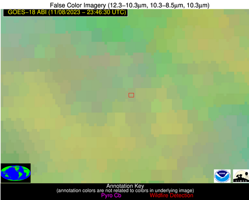
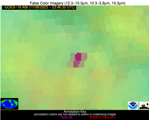
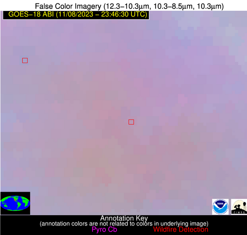
Possible Wildfire
| Basic Information | |
|---|---|
| State/Province(s) | Unknown |
| Country/Countries | Canada |
| County/Locality(s) | Canada |
| NWS WFO | N/A |
| Identification Method | Enhanced Contextual (Clear) |
| Mean Object Date/Time | 2023-11-08 23:46:24UTC |
| Radiative Center (Lat, Lon): | 49.990°, -118.530° |
| Nearby Counties (meeting alert criteria): |
|
| Total Radiative Power Anomaly | n/a |
| Total Radiative Power | 84.72 MW |
| Map: | |
| Additional Information | |
| Alert Status | New Feature |
| Type of Event | Nominal Risk |
| Event Priority Ranking | 4 |
| Maximum Observed BT (3.9 um) | 292.02 K |
| Observed - Background BT (3.9 um) | 23.97 K |
| BT Anomaly (3.9 um) | 15.80 K |
| Maximum Observed - Clear RTM BT (3.9 um) | 25.28 K |
| Maximum Observed BTD (3.9-10/11/12 um) | 25.30 K |
| Observed - Background BTD (3.9-10/11/12 um) | 22.88 K |
| BTD Anomaly (3.9-10/11/12 um) | 20.37 K |
| Similar Pixel Count | 2 |
| BT Time Tendency (3.9 um) | 5.30 K |
| Image Interval | 5.00 minutes |
| Fraction of Surrounding LWIR Pixels that are Colder | 0.89 |
| Fraction of Surrounding Red Channel Pixels that are Brighter | 0.05 |
| Maximum Radiative Power | 51.81 MW |
| Maximum Radiative Power Uncertainty | 0.00 MW |
| Total Radiative Power Uncertainty | 0.00 MW |
| Mean Viewing Angle | 60.30° |
| Mean Solar Zenith Angle | 85.80° |
| Mean Glint Angle | 132.50° |
| Water Fraction | 0.00 |
| Total Pixel Area | 19.80 km2 |
| Latest Satellite Imagery: | |
| View all event imagery » | |
Possible Wildfire
| Basic Information | |
|---|---|
| State/Province(s) | CA |
| Country/Countries | USA |
| County/Locality(s) | Fresno County, CA |
| NWS WFO | Hanford CA |
| Identification Method | Enhanced Contextual (Clear) |
| Mean Object Date/Time | 2023-11-08 23:46:54UTC |
| Radiative Center (Lat, Lon): | 36.710°, -119.890° |
| Nearby Counties (meeting alert criteria): |
|
| Total Radiative Power Anomaly | n/a |
| Total Radiative Power | 6.66 MW |
| Map: | |
| Additional Information | |
| Alert Status | New Feature |
| Type of Event | Nonmetal-mineral |
| Event Priority Ranking | 5 |
| Maximum Observed BT (3.9 um) | 293.45 K |
| Observed - Background BT (3.9 um) | 3.13 K |
| BT Anomaly (3.9 um) | 2.82 K |
| Maximum Observed - Clear RTM BT (3.9 um) | 5.16 K |
| Maximum Observed BTD (3.9-10/11/12 um) | 4.85 K |
| Observed - Background BTD (3.9-10/11/12 um) | 3.14 K |
| BTD Anomaly (3.9-10/11/12 um) | 5.30 K |
| Similar Pixel Count | 1 |
| BT Time Tendency (3.9 um) | 0.50 K |
| Image Interval | 5.00 minutes |
| Fraction of Surrounding LWIR Pixels that are Colder | 0.64 |
| Fraction of Surrounding Red Channel Pixels that are Brighter | 0.90 |
| Maximum Radiative Power | 6.66 MW |
| Maximum Radiative Power Uncertainty | 0.00 MW |
| Total Radiative Power Uncertainty | 0.00 MW |
| Mean Viewing Angle | 46.50° |
| Mean Solar Zenith Angle | 78.00° |
| Mean Glint Angle | 117.50° |
| Water Fraction | 0.00 |
| Total Pixel Area | 6.60 km2 |
| Latest Satellite Imagery: | |
| View all event imagery » | |
Possible Wildfire
| Basic Information | |
|---|---|
| State/Province(s) | AZ |
| Country/Countries | USA |
| County/Locality(s) | Apache County, AZ |
| NWS WFO | Flagstaff AZ |
| Identification Method | Enhanced Contextual (Clear) |
| Mean Object Date/Time | 2023-11-08 23:47:25UTC |
| Radiative Center (Lat, Lon): | 34.040°, -109.490° |
| Nearby Counties (meeting alert criteria): |
|
| Total Radiative Power Anomaly | n/a |
| Total Radiative Power | 81.27 MW |
| Map: | |
| Additional Information | |
| Alert Status | New Feature |
| Type of Event | Nominal Risk |
| Event Priority Ranking | 4 |
| Maximum Observed BT (3.9 um) | 291.91 K |
| Observed - Background BT (3.9 um) | 12.96 K |
| BT Anomaly (3.9 um) | 9.87 K |
| Maximum Observed - Clear RTM BT (3.9 um) | 16.08 K |
| Maximum Observed BTD (3.9-10/11/12 um) | 13.33 K |
| Observed - Background BTD (3.9-10/11/12 um) | 12.55 K |
| BTD Anomaly (3.9-10/11/12 um) | 37.21 K |
| Similar Pixel Count | 4 |
| BT Time Tendency (3.9 um) | 2.40 K |
| Image Interval | 5.00 minutes |
| Fraction of Surrounding LWIR Pixels that are Colder | 0.50 |
| Fraction of Surrounding Red Channel Pixels that are Brighter | 1.00 |
| Maximum Radiative Power | 31.38 MW |
| Maximum Radiative Power Uncertainty | 0.00 MW |
| Total Radiative Power Uncertainty | 0.00 MW |
| Mean Viewing Angle | 49.60° |
| Mean Solar Zenith Angle | 84.30° |
| Mean Glint Angle | 129.30° |
| Water Fraction | 0.00 |
| Total Pixel Area | 29.60 km2 |
| Latest Satellite Imagery: | |
| View all event imagery » | |
