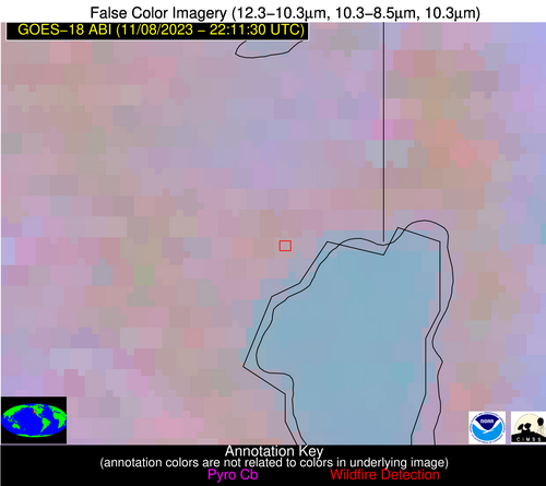
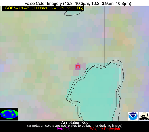
Wildfire Alert Report
| Date: | 2023-11-08 |
|---|---|
| Time: | 22:11:18 |
| Production Date and Time: | 2023-11-08 22:15:52 UTC |
| Primary Instrument: | GOES-18 ABI |
| Wmo Spacecraft Id: | 665 |
| Location/orbit: | GEO |
| L1 File: | OR_ABI-L1b-RadC-M6C14_G18_s20233122211188_e20233122213561_c20233122214044.nc |
| L1 File(s) - Temporal | OR_ABI-L1b-RadC-M6C14_G18_s20233122206188_e20233122208561_c20233122209024.nc |
| Number Of Thermal Anomaly Alerts: | 3 |
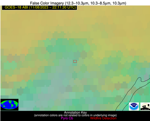
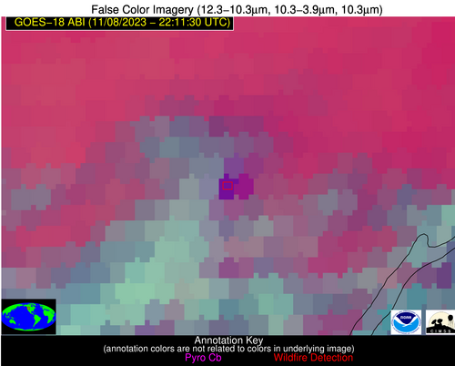
Possible Wildfire
| Basic Information | |
|---|---|
| State/Province(s) | ID |
| Country/Countries | USA |
| County/Locality(s) | Shoshone County, ID |
| NWS WFO | Spokane WA |
| Identification Method | Enhanced Contextual (Clear) |
| Mean Object Date/Time | 2023-11-08 22:11:24UTC |
| Radiative Center (Lat, Lon): | 46.960000°, -116.230000° |
| Nearby Counties (meeting alert criteria): |
|
| Total Radiative Power Anomaly | n/a |
| Total Radiative Power | 91.16 MW |
| Map: | |
| Additional Information | |
| Alert Status | New Feature |
| Type of Event | Nominal Risk |
| Event Priority Ranking | 4 |
| Maximum Observed BT (3.9 um) | 301.18 K |
| Observed - Background BT (3.9 um) | 17.31 K |
| BT Anomaly (3.9 um) | 10.10 K |
| Maximum Observed - Clear RTM BT (3.9 um) | 29.19 K |
| Maximum Observed BTD (3.9-10/11/12 um) | 30.18 K |
| Observed - Background BTD (3.9-10/11/12 um) | 17.25 K |
| BTD Anomaly (3.9-10/11/12 um) | 6.01 K |
| Similar Pixel Count | 8 |
| BT Time Tendency (3.9 um) | 2.60 K |
| Image Interval | 5.00 minutes |
| Fraction of Surrounding LWIR Pixels that are Colder | 0.77 |
| Fraction of Surrounding Red Channel Pixels that are Brighter | 0.88 |
| Maximum Radiative Power | 56.57 MW |
| Maximum Radiative Power Uncertainty | 0.00 MW |
| Total Radiative Power Uncertainty | 0.00 MW |
| Mean Viewing Angle | 58.00° |
| Mean Solar Zenith Angle | 73.10° |
| Mean Glint Angle | 129.50° |
| Water Fraction | 0.00 |
| Total Pixel Area | 18.60 km2 |
| Latest Satellite Imagery: | |
| View all event imagery » | |
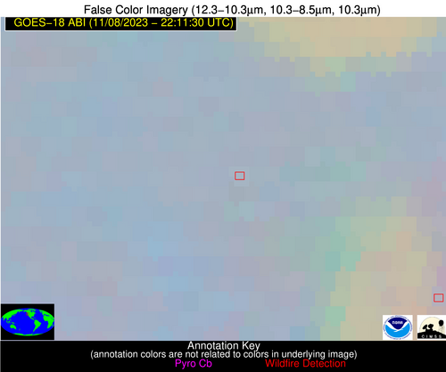
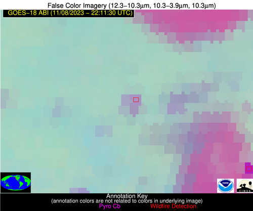
Possible Wildfire
| Basic Information | |
|---|---|
| State/Province(s) | OR |
| Country/Countries | USA |
| County/Locality(s) | Douglas County, OR |
| NWS WFO | Medford OR |
| Identification Method | Enhanced Contextual (Clear) |
| Mean Object Date/Time | 2023-11-08 22:11:23UTC |
| Radiative Center (Lat, Lon): | 43.720000°, -123.440000° |
| Nearby Counties (meeting alert criteria): |
|
| Total Radiative Power Anomaly | n/a |
| Total Radiative Power | 40.45 MW |
| Map: | |
| Additional Information | |
| Alert Status | New Feature |
| Type of Event | Nominal Risk |
| Event Priority Ranking | 4 |
| Maximum Observed BT (3.9 um) | 290.91 K |
| Observed - Background BT (3.9 um) | 7.57 K |
| BT Anomaly (3.9 um) | 5.02 K |
| Maximum Observed - Clear RTM BT (3.9 um) | 11.33 K |
| Maximum Observed BTD (3.9-10/11/12 um) | 10.54 K |
| Observed - Background BTD (3.9-10/11/12 um) | 7.29 K |
| BTD Anomaly (3.9-10/11/12 um) | 4.21 K |
| Similar Pixel Count | 3 |
| BT Time Tendency (3.9 um) | 1.10 K |
| Image Interval | 5.00 minutes |
| Fraction of Surrounding LWIR Pixels that are Colder | 0.68 |
| Fraction of Surrounding Red Channel Pixels that are Brighter | 1.00 |
| Maximum Radiative Power | 40.45 MW |
| Maximum Radiative Power Uncertainty | 0.00 MW |
| Total Radiative Power Uncertainty | 0.00 MW |
| Mean Viewing Angle | 52.50° |
| Mean Solar Zenith Angle | 67.40° |
| Mean Glint Angle | 118.10° |
| Water Fraction | 0.00 |
| Total Pixel Area | 22.70 km2 |
| Latest Satellite Imagery: | |
| View all event imagery » | |
Possible Wildfire
| Basic Information | |
|---|---|
| State/Province(s) | CA |
| Country/Countries | USA |
| County/Locality(s) | Placer County, CA |
| NWS WFO | Reno NV |
| Identification Method | Enhanced Contextual (Clear) |
| Mean Object Date/Time | 2023-11-08 22:11:54UTC |
| Radiative Center (Lat, Lon): | 39.230000°, -120.120000° |
| Nearby Counties (meeting alert criteria): |
|
| Total Radiative Power Anomaly | n/a |
| Total Radiative Power | 20.54 MW |
| Map: | |
| Additional Information | |
| Alert Status | New Feature |
| Type of Event | Nominal Risk |
| Event Priority Ranking | 4 |
| Maximum Observed BT (3.9 um) | 290.74 K |
| Observed - Background BT (3.9 um) | 11.02 K |
| BT Anomaly (3.9 um) | 7.55 K |
| Maximum Observed - Clear RTM BT (3.9 um) | 15.67 K |
| Maximum Observed BTD (3.9-10/11/12 um) | 14.31 K |
| Observed - Background BTD (3.9-10/11/12 um) | 11.23 K |
| BTD Anomaly (3.9-10/11/12 um) | 18.02 K |
| Similar Pixel Count | 1 |
| BT Time Tendency (3.9 um) | -0.30 K |
| Image Interval | 5.00 minutes |
| Fraction of Surrounding LWIR Pixels that are Colder | 0.26 |
| Fraction of Surrounding Red Channel Pixels that are Brighter | 0.58 |
| Maximum Radiative Power | 20.54 MW |
| Maximum Radiative Power Uncertainty | 0.00 MW |
| Total Radiative Power Uncertainty | 0.00 MW |
| Mean Viewing Angle | 48.90° |
| Mean Solar Zenith Angle | 65.40° |
| Mean Glint Angle | 113.10° |
| Water Fraction | 0.00 |
| Total Pixel Area | 7.00 km2 |
| Latest Satellite Imagery: | |
| View all event imagery » | |
