Wildfire Alert Report
| Date: | 2023-11-08 |
|---|---|
| Time: | 15:36:17 |
| Production Date and Time: | 2023-11-08 15:40:39 UTC |
| Primary Instrument: | GOES-16 ABI |
| Wmo Spacecraft Id: | 152 |
| Location/orbit: | GEO |
| L1 File: | OR_ABI-L1b-RadC-M6C14_G16_s20233121536175_e20233121538548_c20233121539020.nc |
| L1 File(s) - Temporal | OR_ABI-L1b-RadC-M6C14_G16_s20233121531175_e20233121533548_c20233121534040.nc |
| Number Of Thermal Anomaly Alerts: | 5 |
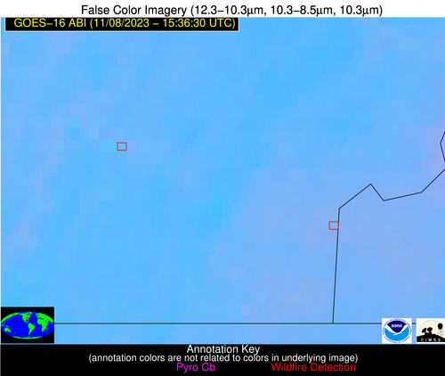
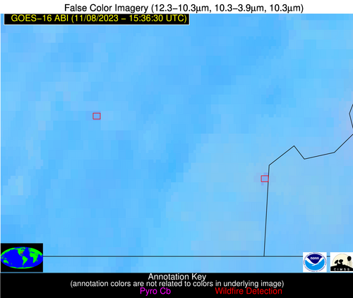
Possible Wildfire
| Basic Information | |
|---|---|
| State/Province(s) | TN |
| Country/Countries | USA |
| County/Locality(s) | Bradley County, TN |
| NWS WFO | Morristown TN |
| Identification Method | Enhanced Contextual (Clear) |
| Mean Object Date/Time | 2023-11-08 15:37:21UTC |
| Radiative Center (Lat, Lon): | 35.340000°, -84.870000° |
| Nearby Counties (meeting alert criteria): |
|
| Total Radiative Power Anomaly | n/a |
| Total Radiative Power | 8.88 MW |
| Map: | |
| Additional Information | |
| Alert Status | New Feature |
| Type of Event | Nominal Risk |
| Event Priority Ranking | 4 |
| Maximum Observed BT (3.9 um) | 299.96 K |
| Observed - Background BT (3.9 um) | 1.87 K |
| BT Anomaly (3.9 um) | 1.52 K |
| Maximum Observed - Clear RTM BT (3.9 um) | 9.71 K |
| Maximum Observed BTD (3.9-10/11/12 um) | 8.60 K |
| Observed - Background BTD (3.9-10/11/12 um) | 2.38 K |
| BTD Anomaly (3.9-10/11/12 um) | 3.65 K |
| Similar Pixel Count | 14 |
| BT Time Tendency (3.9 um) | 2.70 K |
| Image Interval | 5.00 minutes |
| Fraction of Surrounding LWIR Pixels that are Colder | 0.19 |
| Fraction of Surrounding Red Channel Pixels that are Brighter | 1.00 |
| Maximum Radiative Power | 8.88 MW |
| Maximum Radiative Power Uncertainty | 0.00 MW |
| Total Radiative Power Uncertainty | 0.00 MW |
| Mean Viewing Angle | 42.50° |
| Mean Solar Zenith Angle | 57.60° |
| Mean Glint Angle | 99.00° |
| Water Fraction | 0.00 |
| Total Pixel Area | 5.90 km2 |
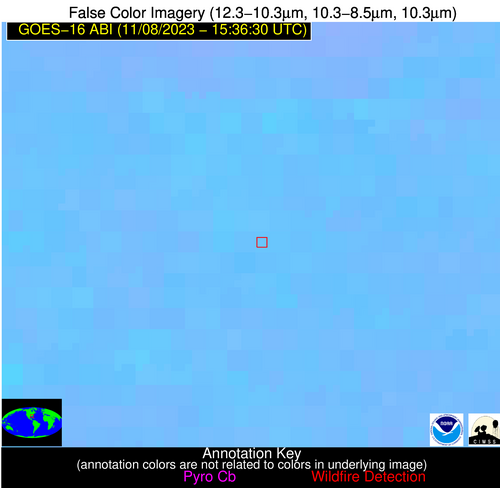
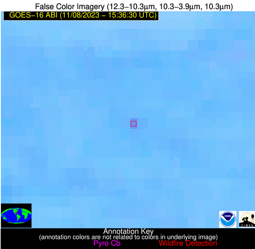
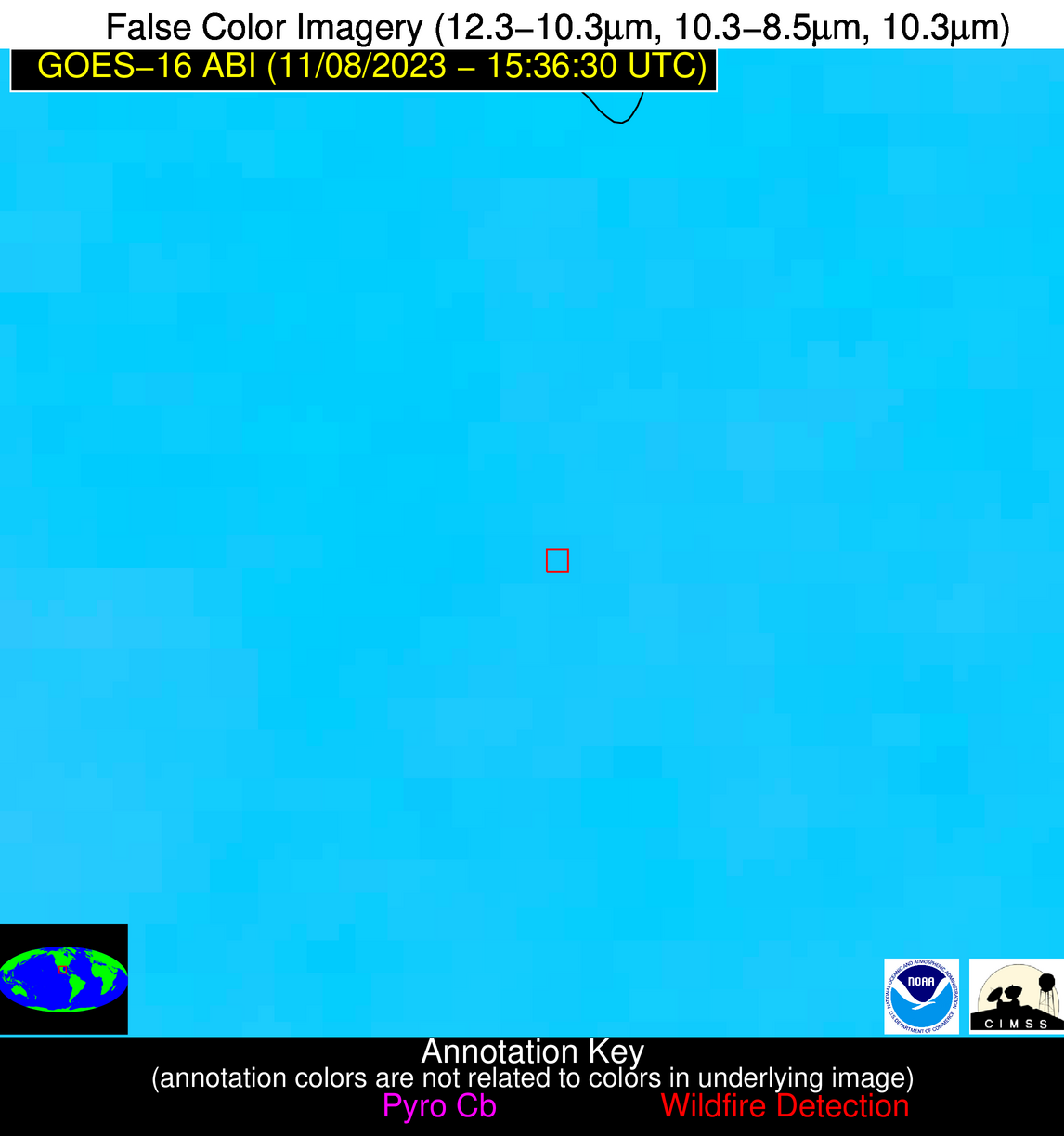
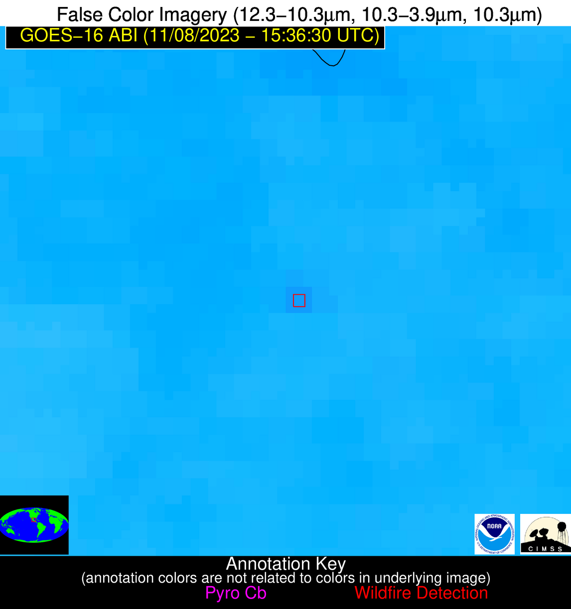
| Latest Satellite Imagery: | |
| View all event imagery » | |
Possible Wildfire
| Basic Information | |
|---|---|
| State/Province(s) | TN |
| Country/Countries | USA |
| County/Locality(s) | Polk County, TN |
| NWS WFO | Morristown TN |
| Identification Method | Enhanced Contextual (Clear) |
| Mean Object Date/Time | 2023-11-08 15:37:21UTC |
| Radiative Center (Lat, Lon): | 35.180000°, -84.310000° |
| Nearby Counties (meeting alert criteria): |
|
| Total Radiative Power Anomaly | n/a |
| Total Radiative Power | 9.12 MW |
| Map: | |
| Additional Information | |
| Alert Status | New Feature |
| Type of Event | Nominal Risk, Known Incident: MILLER COVE (HIGH, tdiff=0.04716 days, POINT) |
| Event Priority Ranking | 4 |
| Maximum Observed BT (3.9 um) | 296.98 K |
| Observed - Background BT (3.9 um) | 2.25 K |
| BT Anomaly (3.9 um) | 2.09 K |
| Maximum Observed - Clear RTM BT (3.9 um) | 6.61 K |
| Maximum Observed BTD (3.9-10/11/12 um) | 8.10 K |
| Observed - Background BTD (3.9-10/11/12 um) | 3.30 K |
| BTD Anomaly (3.9-10/11/12 um) | 7.59 K |
| Similar Pixel Count | 1 |
| BT Time Tendency (3.9 um) | 1.50 K |
| Image Interval | 5.00 minutes |
| Fraction of Surrounding LWIR Pixels that are Colder | 0.06 |
| Fraction of Surrounding Red Channel Pixels that are Brighter | 0.95 |
| Maximum Radiative Power | 9.12 MW |
| Maximum Radiative Power Uncertainty | 0.00 MW |
| Total Radiative Power Uncertainty | 0.00 MW |
| Mean Viewing Angle | 42.20° |
| Mean Solar Zenith Angle | 57.20° |
| Mean Glint Angle | 98.30° |
| Water Fraction | 0.00 |
| Total Pixel Area | 5.90 km2 |
| Latest Satellite Imagery: | |
| View all event imagery » | |
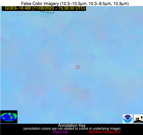
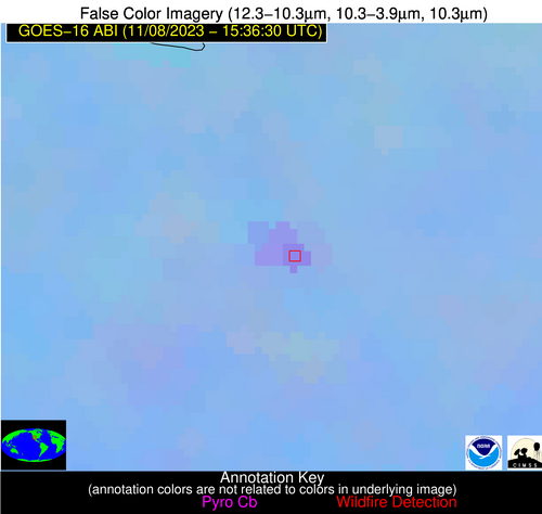
Possible Wildfire
| Basic Information | |
|---|---|
| State/Province(s) | AZ |
| Country/Countries | USA |
| County/Locality(s) | Gila County, AZ |
| NWS WFO | Phoenix AZ |
| Identification Method | Enhanced Contextual (Clear) |
| Mean Object Date/Time | 2023-11-08 15:37:18UTC |
| Radiative Center (Lat, Lon): | 33.410000°, -110.850000° |
| Nearby Counties (meeting alert criteria): |
|
| Total Radiative Power Anomaly | n/a |
| Total Radiative Power | 36.73 MW |
| Map: | |
| Additional Information | |
| Alert Status | New Feature |
| Type of Event | Ferrous-metal |
| Event Priority Ranking | 5 |
| Maximum Observed BT (3.9 um) | 300.30 K |
| Observed - Background BT (3.9 um) | 6.56 K |
| BT Anomaly (3.9 um) | 4.91 K |
| Maximum Observed - Clear RTM BT (3.9 um) | 9.85 K |
| Maximum Observed BTD (3.9-10/11/12 um) | 12.90 K |
| Observed - Background BTD (3.9-10/11/12 um) | 6.61 K |
| BTD Anomaly (3.9-10/11/12 um) | 12.69 K |
| Similar Pixel Count | 4 |
| BT Time Tendency (3.9 um) | 6.00 K |
| Image Interval | 5.00 minutes |
| Fraction of Surrounding LWIR Pixels that are Colder | 0.49 |
| Fraction of Surrounding Red Channel Pixels that are Brighter | 0.09 |
| Maximum Radiative Power | 36.73 MW |
| Maximum Radiative Power Uncertainty | 0.00 MW |
| Total Radiative Power Uncertainty | 0.00 MW |
| Mean Viewing Angle | 54.60° |
| Mean Solar Zenith Angle | 70.70° |
| Mean Glint Angle | 125.30° |
| Water Fraction | 0.00 |
| Total Pixel Area | 18.00 km2 |
| Latest Satellite Imagery: | |
| View all event imagery » | |
Possible Wildfire
| Basic Information | |
|---|---|
| State/Province(s) | GA |
| Country/Countries | USA |
| County/Locality(s) | Coffee County, GA |
| NWS WFO | Jacksonville FL |
| Identification Method | Enhanced Contextual (Clear) |
| Mean Object Date/Time | 2023-11-08 15:37:22UTC |
| Radiative Center (Lat, Lon): | 31.540000°, -82.960000° |
| Nearby Counties (meeting alert criteria): |
|
| Total Radiative Power Anomaly | n/a |
| Total Radiative Power | 16.94 MW |
| Map: | |
| Additional Information | |
| Alert Status | New Feature |
| Type of Event | Nominal Risk |
| Event Priority Ranking | 4 |
| Maximum Observed BT (3.9 um) | 307.90 K |
| Observed - Background BT (3.9 um) | 6.14 K |
| BT Anomaly (3.9 um) | 5.31 K |
| Maximum Observed - Clear RTM BT (3.9 um) | 15.33 K |
| Maximum Observed BTD (3.9-10/11/12 um) | 11.69 K |
| Observed - Background BTD (3.9-10/11/12 um) | 5.72 K |
| BTD Anomaly (3.9-10/11/12 um) | 9.19 K |
| Similar Pixel Count | 1 |
| BT Time Tendency (3.9 um) | 3.60 K |
| Image Interval | 5.00 minutes |
| Fraction of Surrounding LWIR Pixels that are Colder | 0.77 |
| Fraction of Surrounding Red Channel Pixels that are Brighter | 1.00 |
| Maximum Radiative Power | 16.94 MW |
| Maximum Radiative Power Uncertainty | 0.00 MW |
| Total Radiative Power Uncertainty | 0.00 MW |
| Mean Viewing Angle | 37.90° |
| Mean Solar Zenith Angle | 53.50° |
| Mean Glint Angle | 90.30° |
| Water Fraction | 0.00 |
| Total Pixel Area | 5.40 km2 |
| Latest Satellite Imagery: | |
| View all event imagery » | |
Possible Wildfire
| Basic Information | |
|---|---|
| State/Province(s) | Unknown |
| Country/Countries | Mexico |
| County/Locality(s) | Mexico |
| NWS WFO | N/A |
| Identification Method | Enhanced Contextual (Clear) |
| Mean Object Date/Time | 2023-11-08 15:38:19UTC |
| Radiative Center (Lat, Lon): | 21.770000°, -98.510000° |
| Nearby Counties (meeting alert criteria): |
|
| Total Radiative Power Anomaly | n/a |
| Total Radiative Power | 10.58 MW |
| Map: | |
| Additional Information | |
| Alert Status | New Feature |
| Type of Event | Nominal Risk |
| Event Priority Ranking | 4 |
| Maximum Observed BT (3.9 um) | 304.97 K |
| Observed - Background BT (3.9 um) | 2.51 K |
| BT Anomaly (3.9 um) | 1.87 K |
| Maximum Observed - Clear RTM BT (3.9 um) | 7.44 K |
| Maximum Observed BTD (3.9-10/11/12 um) | 12.90 K |
| Observed - Background BTD (3.9-10/11/12 um) | 2.90 K |
| BTD Anomaly (3.9-10/11/12 um) | 3.96 K |
| Similar Pixel Count | 25 |
| BT Time Tendency (3.9 um) | 1.50 K |
| Image Interval | 5.00 minutes |
| Fraction of Surrounding LWIR Pixels that are Colder | 0.34 |
| Fraction of Surrounding Red Channel Pixels that are Brighter | 1.00 |
| Maximum Radiative Power | 10.58 MW |
| Maximum Radiative Power Uncertainty | 0.00 MW |
| Total Radiative Power Uncertainty | 0.00 MW |
| Mean Viewing Angle | 36.80° |
| Mean Solar Zenith Angle | 54.90° |
| Mean Glint Angle | 91.70° |
| Water Fraction | 0.00 |
| Total Pixel Area | 5.50 km2 |
| Latest Satellite Imagery: | |
| View all event imagery » | |
