Wildfire Alert Report
| Date: | 2023-11-07 |
|---|---|
| Time: | 23:21:18 |
| Production Date and Time: | 2023-11-07 23:26:00 UTC |
| Primary Instrument: | GOES-18 ABI |
| Wmo Spacecraft Id: | 665 |
| Location/orbit: | GEO |
| L1 File: | OR_ABI-L1b-RadC-M6C14_G18_s20233112321186_e20233112323559_c20233112324026.nc |
| L1 File(s) - Temporal | OR_ABI-L1b-RadC-M6C14_G18_s20233112316186_e20233112318559_c20233112319036.nc |
| Number Of Thermal Anomaly Alerts: | 3 |
Possible Wildfire
| Basic Information | |
|---|---|
| State/Province(s) | WA |
| Country/Countries | USA |
| County/Locality(s) | Chelan County, WA |
| NWS WFO | Spokane WA |
| Identification Method | Enhanced Contextual (Clear) |
| Mean Object Date/Time | 2023-11-07 23:21:24UTC |
| Radiative Center (Lat, Lon): | 47.350000°, -120.550000° |
| Nearby Counties (meeting alert criteria): |
|
| Total Radiative Power Anomaly | n/a |
| Total Radiative Power | 25.88 MW |
| Map: | |
| Additional Information | |
| Alert Status | New Feature |
| Type of Event | Nominal Risk |
| Event Priority Ranking | 4 |
| Maximum Observed BT (3.9 um) | 288.35 K |
| Observed - Background BT (3.9 um) | 10.68 K |
| BT Anomaly (3.9 um) | 6.56 K |
| Maximum Observed - Clear RTM BT (3.9 um) | 18.16 K |
| Maximum Observed BTD (3.9-10/11/12 um) | 14.85 K |
| Observed - Background BTD (3.9-10/11/12 um) | 11.10 K |
| BTD Anomaly (3.9-10/11/12 um) | 6.30 K |
| Similar Pixel Count | 1 |
| BT Time Tendency (3.9 um) | 0.10 K |
| Image Interval | 5.00 minutes |
| Fraction of Surrounding LWIR Pixels that are Colder | 0.54 |
| Fraction of Surrounding Red Channel Pixels that are Brighter | 0.80 |
| Maximum Radiative Power | 25.88 MW |
| Maximum Radiative Power Uncertainty | 0.00 MW |
| Total Radiative Power Uncertainty | 0.00 MW |
| Mean Viewing Angle | 57.10° |
| Mean Solar Zenith Angle | 79.60° |
| Mean Glint Angle | 128.00° |
| Water Fraction | 0.00 |
| Total Pixel Area | 8.80 km2 |
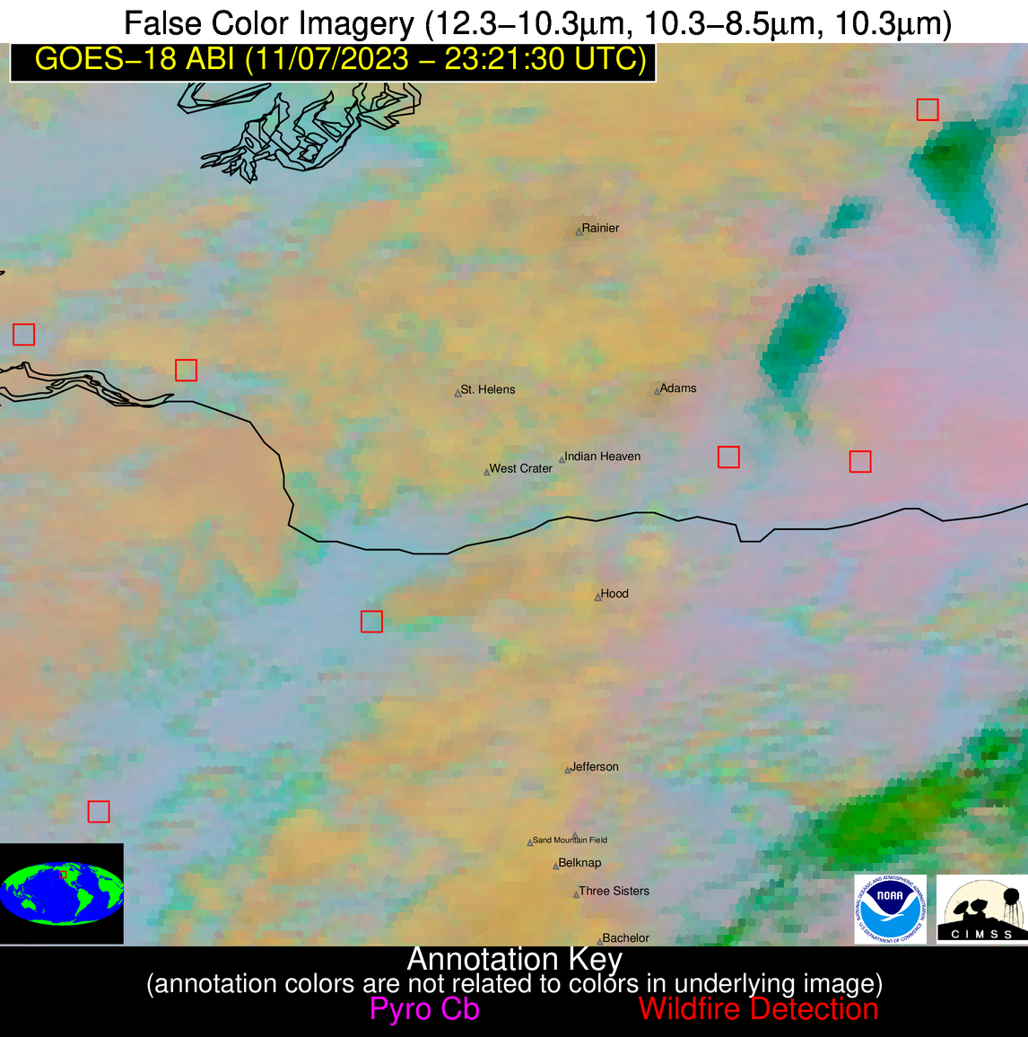
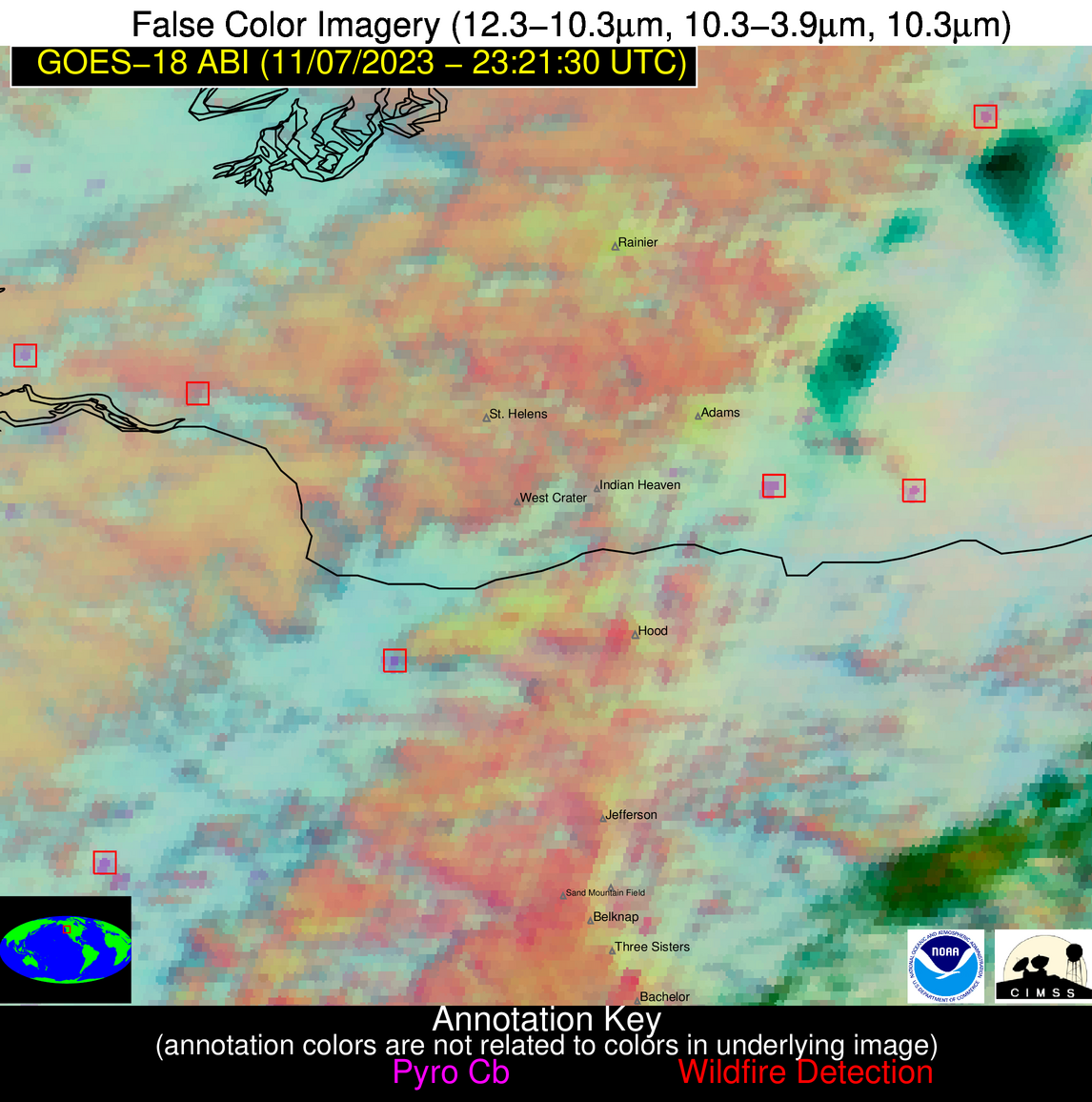
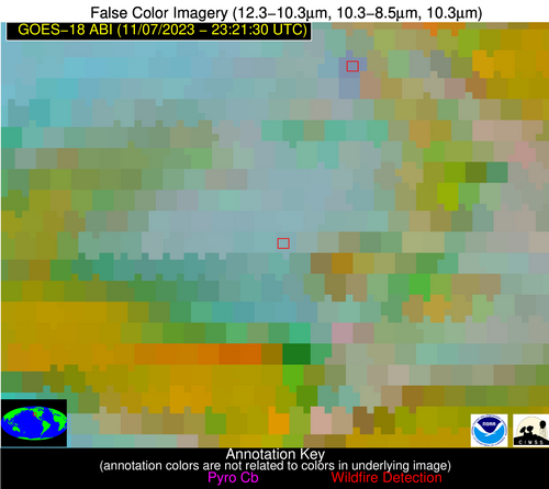
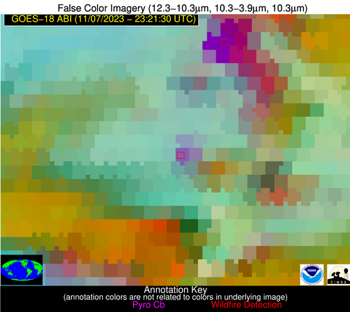
| Latest Satellite Imagery: | |
| View all event imagery » | |
Possible Wildfire
| Basic Information | |
|---|---|
| State/Province(s) | OR |
| Country/Countries | USA |
| County/Locality(s) | Lane County, OR |
| NWS WFO | Portland OR |
| Identification Method | Enhanced Contextual (Clear) |
| Mean Object Date/Time | 2023-11-07 23:21:23UTC |
| Radiative Center (Lat, Lon): | 44.200000°, -123.400000° |
| Nearby Counties (meeting alert criteria): |
|
| Total Radiative Power Anomaly | n/a |
| Total Radiative Power | 18.75 MW |
| Map: | |
| Additional Information | |
| Alert Status | New Feature |
| Type of Event | Nominal Risk |
| Event Priority Ranking | 4 |
| Maximum Observed BT (3.9 um) | 289.98 K |
| Observed - Background BT (3.9 um) | 6.93 K |
| BT Anomaly (3.9 um) | 3.73 K |
| Maximum Observed - Clear RTM BT (3.9 um) | 11.06 K |
| Maximum Observed BTD (3.9-10/11/12 um) | 10.04 K |
| Observed - Background BTD (3.9-10/11/12 um) | 6.55 K |
| BTD Anomaly (3.9-10/11/12 um) | 3.27 K |
| Similar Pixel Count | 5 |
| BT Time Tendency (3.9 um) | 0.40 K |
| Image Interval | 5.00 minutes |
| Fraction of Surrounding LWIR Pixels that are Colder | 0.68 |
| Fraction of Surrounding Red Channel Pixels that are Brighter | 1.00 |
| Maximum Radiative Power | 18.75 MW |
| Maximum Radiative Power Uncertainty | 0.00 MW |
| Total Radiative Power Uncertainty | 0.00 MW |
| Mean Viewing Angle | 53.00° |
| Mean Solar Zenith Angle | 76.10° |
| Mean Glint Angle | 121.20° |
| Water Fraction | 0.00 |
| Total Pixel Area | 7.70 km2 |
| Latest Satellite Imagery: | |
| View all event imagery » | |
Possible Wildfire
| Basic Information | |
|---|---|
| State/Province(s) | CA |
| Country/Countries | USA |
| County/Locality(s) | El Dorado County, CA |
| NWS WFO | Sacramento CA |
| Identification Method | Enhanced Contextual (Clear) |
| Mean Object Date/Time | 2023-11-07 23:21:54UTC |
| Radiative Center (Lat, Lon): | 38.790000°, -120.570000° |
| Nearby Counties (meeting alert criteria): |
|
| Total Radiative Power Anomaly | n/a |
| Total Radiative Power | 31.15 MW |
| Map: | |
| Additional Information | |
| Alert Status | New Feature |
| Type of Event | Nominal Risk |
| Event Priority Ranking | 4 |
| Maximum Observed BT (3.9 um) | 295.30 K |
| Observed - Background BT (3.9 um) | 13.80 K |
| BT Anomaly (3.9 um) | 2.72 K |
| Maximum Observed - Clear RTM BT (3.9 um) | 16.03 K |
| Maximum Observed BTD (3.9-10/11/12 um) | 18.73 K |
| Observed - Background BTD (3.9-10/11/12 um) | 13.14 K |
| BTD Anomaly (3.9-10/11/12 um) | 2.61 K |
| Similar Pixel Count | 3 |
| BT Time Tendency (3.9 um) | 3.60 K |
| Image Interval | 5.00 minutes |
| Fraction of Surrounding LWIR Pixels that are Colder | 0.95 |
| Fraction of Surrounding Red Channel Pixels that are Brighter | 0.96 |
| Maximum Radiative Power | 31.15 MW |
| Maximum Radiative Power Uncertainty | 0.00 MW |
| Total Radiative Power Uncertainty | 0.00 MW |
| Mean Viewing Angle | 48.30° |
| Mean Solar Zenith Angle | 74.40° |
| Mean Glint Angle | 117.00° |
| Water Fraction | 0.00 |
| Total Pixel Area | 6.90 km2 |
| Latest Satellite Imagery: | |
| View all event imagery » | |


