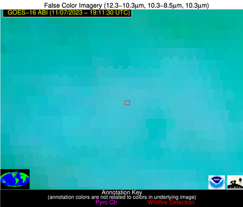
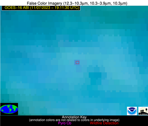
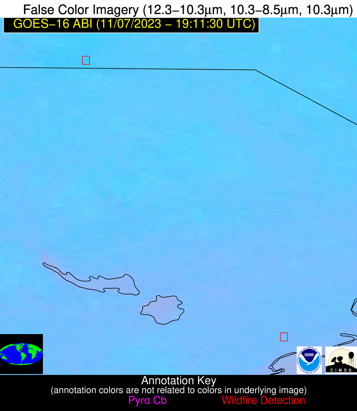
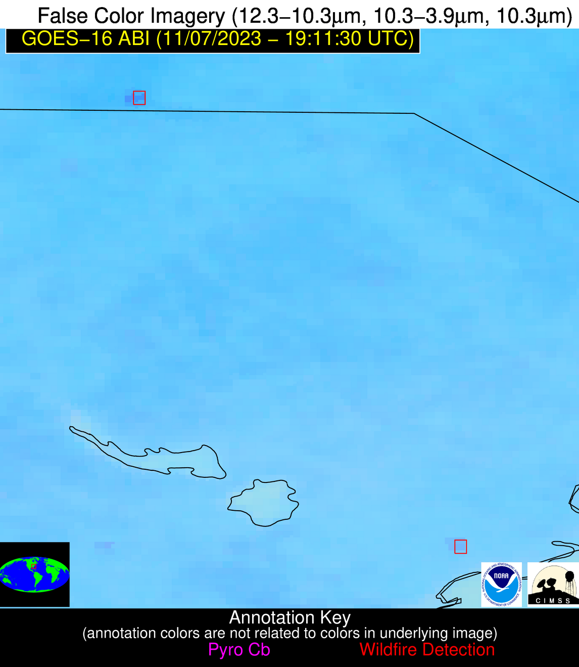
Wildfire Alert Report
| Date: | 2023-11-07 |
|---|---|
| Time: | 19:11:17 |
| Production Date and Time: | 2023-11-07 19:17:15 UTC |
| Primary Instrument: | GOES-16 ABI |
| Wmo Spacecraft Id: | 152 |
| Location/orbit: | GEO |
| L1 File: | OR_ABI-L1b-RadC-M6C14_G16_s20233111911175_e20233111913548_c20233111914020.nc |
| L1 File(s) - Temporal | OR_ABI-L1b-RadC-M6C14_G16_s20233111906175_e20233111908548_c20233111909009.nc |
| Number Of Thermal Anomaly Alerts: | 7 |
Possible Wildfire
| Basic Information | |
|---|---|
| State/Province(s) | IL |
| Country/Countries | USA |
| County/Locality(s) | Kane County, IL |
| NWS WFO | Chicago IL |
| Identification Method | Enhanced Contextual (Clear) |
| Mean Object Date/Time | 2023-11-07 19:11:51UTC |
| Radiative Center (Lat, Lon): | 41.930000°, -88.350000° |
| Nearby Counties (meeting alert criteria): |
|
| Total Radiative Power Anomaly | n/a |
| Total Radiative Power | 12.12 MW |
| Map: | |
| Additional Information | |
| Alert Status | New Feature |
| Type of Event | Nominal Risk |
| Event Priority Ranking | 4 |
| Maximum Observed BT (3.9 um) | 294.16 K |
| Observed - Background BT (3.9 um) | 3.87 K |
| BT Anomaly (3.9 um) | 4.17 K |
| Maximum Observed - Clear RTM BT (3.9 um) | 10.19 K |
| Maximum Observed BTD (3.9-10/11/12 um) | 12.50 K |
| Observed - Background BTD (3.9-10/11/12 um) | 2.74 K |
| BTD Anomaly (3.9-10/11/12 um) | 2.73 K |
| Similar Pixel Count | 19 |
| BT Time Tendency (3.9 um) | 2.80 K |
| Image Interval | 5.00 minutes |
| Fraction of Surrounding LWIR Pixels that are Colder | 0.96 |
| Fraction of Surrounding Red Channel Pixels that are Brighter | 1.00 |
| Maximum Radiative Power | 12.12 MW |
| Maximum Radiative Power Uncertainty | 0.00 MW |
| Total Radiative Power Uncertainty | 0.00 MW |
| Mean Viewing Angle | 50.50° |
| Mean Solar Zenith Angle | 61.90° |
| Mean Glint Angle | 100.50° |
| Water Fraction | 0.00 |
| Total Pixel Area | 7.20 km2 |
| Latest Satellite Imagery: | |
| View all event imagery » | |
Possible Wildfire
| Basic Information | |
|---|---|
| State/Province(s) | KY |
| Country/Countries | USA |
| County/Locality(s) | Leslie County, KY |
| NWS WFO | Jackson KY |
| Identification Method | Enhanced Contextual (Clear) |
| Mean Object Date/Time | 2023-11-07 19:11:52UTC |
| Radiative Center (Lat, Lon): | 37.110000°, -83.270000° |
| Nearby Counties (meeting alert criteria): |
|
| Total Radiative Power Anomaly | n/a |
| Total Radiative Power | 32.50 MW |
| Map: | |
| Additional Information | |
| Alert Status | New Feature |
| Type of Event | Nominal Risk, Known Incident: SHORT BRANCH ROAD (LOW, tdiff=0.72528 days, POINT) |
| Event Priority Ranking | 4 |
| Maximum Observed BT (3.9 um) | 305.29 K |
| Observed - Background BT (3.9 um) | 7.26 K |
| BT Anomaly (3.9 um) | 11.12 K |
| Maximum Observed - Clear RTM BT (3.9 um) | 15.13 K |
| Maximum Observed BTD (3.9-10/11/12 um) | 15.34 K |
| Observed - Background BTD (3.9-10/11/12 um) | 6.83 K |
| BTD Anomaly (3.9-10/11/12 um) | 6.19 K |
| Similar Pixel Count | 8 |
| BT Time Tendency (3.9 um) | 2.90 K |
| Image Interval | 5.00 minutes |
| Fraction of Surrounding LWIR Pixels that are Colder | 0.67 |
| Fraction of Surrounding Red Channel Pixels that are Brighter | 1.00 |
| Maximum Radiative Power | 22.78 MW |
| Maximum Radiative Power Uncertainty | 0.00 MW |
| Total Radiative Power Uncertainty | 0.00 MW |
| Mean Viewing Angle | 44.10° |
| Mean Solar Zenith Angle | 59.60° |
| Mean Glint Angle | 93.30° |
| Water Fraction | 0.00 |
| Total Pixel Area | 12.20 km2 |
| Latest Satellite Imagery: | |
| View all event imagery » | |
Possible Wildfire
| Basic Information | |
|---|---|
| State/Province(s) | TN |
| Country/Countries | USA |
| County/Locality(s) | McNairy County, TN |
| NWS WFO | Memphis TN |
| Identification Method | Enhanced Contextual (Clear) |
| Mean Object Date/Time | 2023-11-07 19:12:21UTC |
| Radiative Center (Lat, Lon): | 35.350000°, -88.530000° |
| Nearby Counties (meeting alert criteria): |
|
| Total Radiative Power Anomaly | n/a |
| Total Radiative Power | 19.33 MW |
| Map: | |
| Additional Information | |
| Alert Status | New Feature |
| Type of Event | Nominal Risk |
| Event Priority Ranking | 4 |
| Maximum Observed BT (3.9 um) | 306.30 K |
| Observed - Background BT (3.9 um) | 5.42 K |
| BT Anomaly (3.9 um) | 8.57 K |
| Maximum Observed - Clear RTM BT (3.9 um) | 10.51 K |
| Maximum Observed BTD (3.9-10/11/12 um) | 16.45 K |
| Observed - Background BTD (3.9-10/11/12 um) | 4.81 K |
| BTD Anomaly (3.9-10/11/12 um) | 4.14 K |
| Similar Pixel Count | 19 |
| BT Time Tendency (3.9 um) | 3.60 K |
| Image Interval | 5.00 minutes |
| Fraction of Surrounding LWIR Pixels that are Colder | 0.77 |
| Fraction of Surrounding Red Channel Pixels that are Brighter | 0.94 |
| Maximum Radiative Power | 19.33 MW |
| Maximum Radiative Power Uncertainty | 0.00 MW |
| Total Radiative Power Uncertainty | 0.00 MW |
| Mean Viewing Angle | 43.60° |
| Mean Solar Zenith Angle | 56.00° |
| Mean Glint Angle | 88.00° |
| Water Fraction | 0.00 |
| Total Pixel Area | 6.10 km2 |
| Latest Satellite Imagery: | |
| View all event imagery » | |
Possible Wildfire
| Basic Information | |
|---|---|
| State/Province(s) | NC |
| Country/Countries | USA |
| County/Locality(s) | Union County, NC |
| NWS WFO | Greenville-Spartanburg SC |
| Identification Method | Enhanced Contextual (Clear) |
| Mean Object Date/Time | 2023-11-07 19:12:22UTC |
| Radiative Center (Lat, Lon): | 34.860000°, -80.360000° |
| Nearby Counties (meeting alert criteria): |
|
| Total Radiative Power Anomaly | n/a |
| Total Radiative Power | 41.94 MW |
| Map: | |
| Additional Information | |
| Alert Status | New Feature |
| Type of Event | Nominal Risk |
| Event Priority Ranking | 4 |
| Maximum Observed BT (3.9 um) | 310.45 K |
| Observed - Background BT (3.9 um) | 8.33 K |
| BT Anomaly (3.9 um) | 6.30 K |
| Maximum Observed - Clear RTM BT (3.9 um) | 15.12 K |
| Maximum Observed BTD (3.9-10/11/12 um) | 12.86 K |
| Observed - Background BTD (3.9-10/11/12 um) | 7.07 K |
| BTD Anomaly (3.9-10/11/12 um) | 9.23 K |
| Similar Pixel Count | 5 |
| BT Time Tendency (3.9 um) | 1.70 K |
| Image Interval | 5.00 minutes |
| Fraction of Surrounding LWIR Pixels that are Colder | 0.95 |
| Fraction of Surrounding Red Channel Pixels that are Brighter | 0.29 |
| Maximum Radiative Power | 21.30 MW |
| Maximum Radiative Power Uncertainty | 0.00 MW |
| Total Radiative Power Uncertainty | 0.00 MW |
| Mean Viewing Angle | 41.10° |
| Mean Solar Zenith Angle | 59.10° |
| Mean Glint Angle | 90.70° |
| Water Fraction | 0.00 |
| Total Pixel Area | 11.50 km2 |
| Latest Satellite Imagery: | |
| View all event imagery » | |
Possible Wildfire
| Basic Information | |
|---|---|
| State/Province(s) | AR |
| Country/Countries | USA |
| County/Locality(s) | Jefferson County, AR |
| NWS WFO | Little Rock AR |
| Identification Method | Enhanced Contextual (Clear) |
| Mean Object Date/Time | 2023-11-07 19:12:20UTC |
| Radiative Center (Lat, Lon): | 34.400000°, -91.840000° |
| Nearby Counties (meeting alert criteria): |
|
| Total Radiative Power Anomaly | n/a |
| Total Radiative Power | 14.42 MW |
| Map: | |
| Additional Information | |
| Alert Status | New Feature |
| Type of Event | Nominal Risk |
| Event Priority Ranking | 4 |
| Maximum Observed BT (3.9 um) | 308.51 K |
| Observed - Background BT (3.9 um) | 5.41 K |
| BT Anomaly (3.9 um) | 2.92 K |
| Maximum Observed - Clear RTM BT (3.9 um) | 10.53 K |
| Maximum Observed BTD (3.9-10/11/12 um) | 12.58 K |
| Observed - Background BTD (3.9-10/11/12 um) | 4.82 K |
| BTD Anomaly (3.9-10/11/12 um) | 4.04 K |
| Similar Pixel Count | 21 |
| BT Time Tendency (3.9 um) | 2.60 K |
| Image Interval | 5.00 minutes |
| Fraction of Surrounding LWIR Pixels that are Colder | 0.75 |
| Fraction of Surrounding Red Channel Pixels that are Brighter | 0.94 |
| Maximum Radiative Power | 14.42 MW |
| Maximum Radiative Power Uncertainty | 0.00 MW |
| Total Radiative Power Uncertainty | 0.00 MW |
| Mean Viewing Angle | 44.00° |
| Mean Solar Zenith Angle | 54.00° |
| Mean Glint Angle | 85.60° |
| Water Fraction | 0.00 |
| Total Pixel Area | 6.20 km2 |
| Latest Satellite Imagery: | |
| View all event imagery » | |
Possible Wildfire
| Basic Information | |
|---|---|
| State/Province(s) | SC |
| Country/Countries | USA |
| County/Locality(s) | Charleston County, SC |
| NWS WFO | Charleston SC |
| Identification Method | Enhanced Contextual (Clear) |
| Mean Object Date/Time | 2023-11-07 19:12:22UTC |
| Radiative Center (Lat, Lon): | 33.130000°, -79.570000° |
| Nearby Counties (meeting alert criteria): |
|
| Total Radiative Power Anomaly | n/a |
| Total Radiative Power | 23.01 MW |
| Map: | |
| Additional Information | |
| Alert Status | New Feature |
| Type of Event | Nominal Risk |
| Event Priority Ranking | 4 |
| Maximum Observed BT (3.9 um) | 301.00 K |
| Observed - Background BT (3.9 um) | 4.07 K |
| BT Anomaly (3.9 um) | 6.81 K |
| Maximum Observed - Clear RTM BT (3.9 um) | 6.93 K |
| Maximum Observed BTD (3.9-10/11/12 um) | 7.04 K |
| Observed - Background BTD (3.9-10/11/12 um) | 3.61 K |
| BTD Anomaly (3.9-10/11/12 um) | 17.33 K |
| Similar Pixel Count | 4 |
| BT Time Tendency (3.9 um) | 0.80 K |
| Image Interval | 5.00 minutes |
| Fraction of Surrounding LWIR Pixels that are Colder | 0.88 |
| Fraction of Surrounding Red Channel Pixels that are Brighter | 1.00 |
| Maximum Radiative Power | 9.20 MW |
| Maximum Radiative Power Uncertainty | 0.00 MW |
| Total Radiative Power Uncertainty | 0.00 MW |
| Mean Viewing Angle | 39.00° |
| Mean Solar Zenith Angle | 58.10° |
| Mean Glint Angle | 88.00° |
| Water Fraction | 0.00 |
| Total Pixel Area | 16.60 km2 |
| Latest Satellite Imagery: | |
| View all event imagery » | |
Possible Wildfire
| Basic Information | |
|---|---|
| State/Province(s) | AL |
| Country/Countries | USA |
| County/Locality(s) | Clay County, AL |
| NWS WFO | Birmingham AL |
| Identification Method | Enhanced Contextual (Clear) |
| Mean Object Date/Time | 2023-11-07 19:12:21UTC |
| Radiative Center (Lat, Lon): | 33.190000°, -85.790000° |
| Nearby Counties (meeting alert criteria): |
|
| Total Radiative Power Anomaly | n/a |
| Total Radiative Power | 9.10 MW |
| Map: | |
| Additional Information | |
| Alert Status | New Feature |
| Type of Event | Nominal Risk |
| Event Priority Ranking | 4 |
| Maximum Observed BT (3.9 um) | 303.20 K |
| Observed - Background BT (3.9 um) | 3.15 K |
| BT Anomaly (3.9 um) | 4.27 K |
| Maximum Observed - Clear RTM BT (3.9 um) | 8.11 K |
| Maximum Observed BTD (3.9-10/11/12 um) | 7.62 K |
| Observed - Background BTD (3.9-10/11/12 um) | 3.03 K |
| BTD Anomaly (3.9-10/11/12 um) | 8.61 K |
| Similar Pixel Count | 6 |
| BT Time Tendency (3.9 um) | 0.60 K |
| Image Interval | 5.00 minutes |
| Fraction of Surrounding LWIR Pixels that are Colder | 0.62 |
| Fraction of Surrounding Red Channel Pixels that are Brighter | 1.00 |
| Maximum Radiative Power | 9.10 MW |
| Maximum Radiative Power Uncertainty | 0.00 MW |
| Total Radiative Power Uncertainty | 0.00 MW |
| Mean Viewing Angle | 40.40° |
| Mean Solar Zenith Angle | 55.20° |
| Mean Glint Angle | 84.80° |
| Water Fraction | 0.00 |
| Total Pixel Area | 5.70 km2 |
| Latest Satellite Imagery: | |
| View all event imagery » | |
