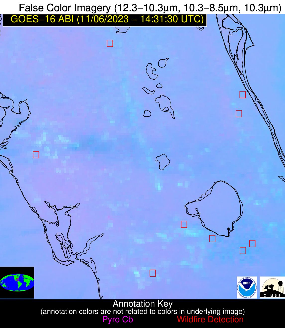
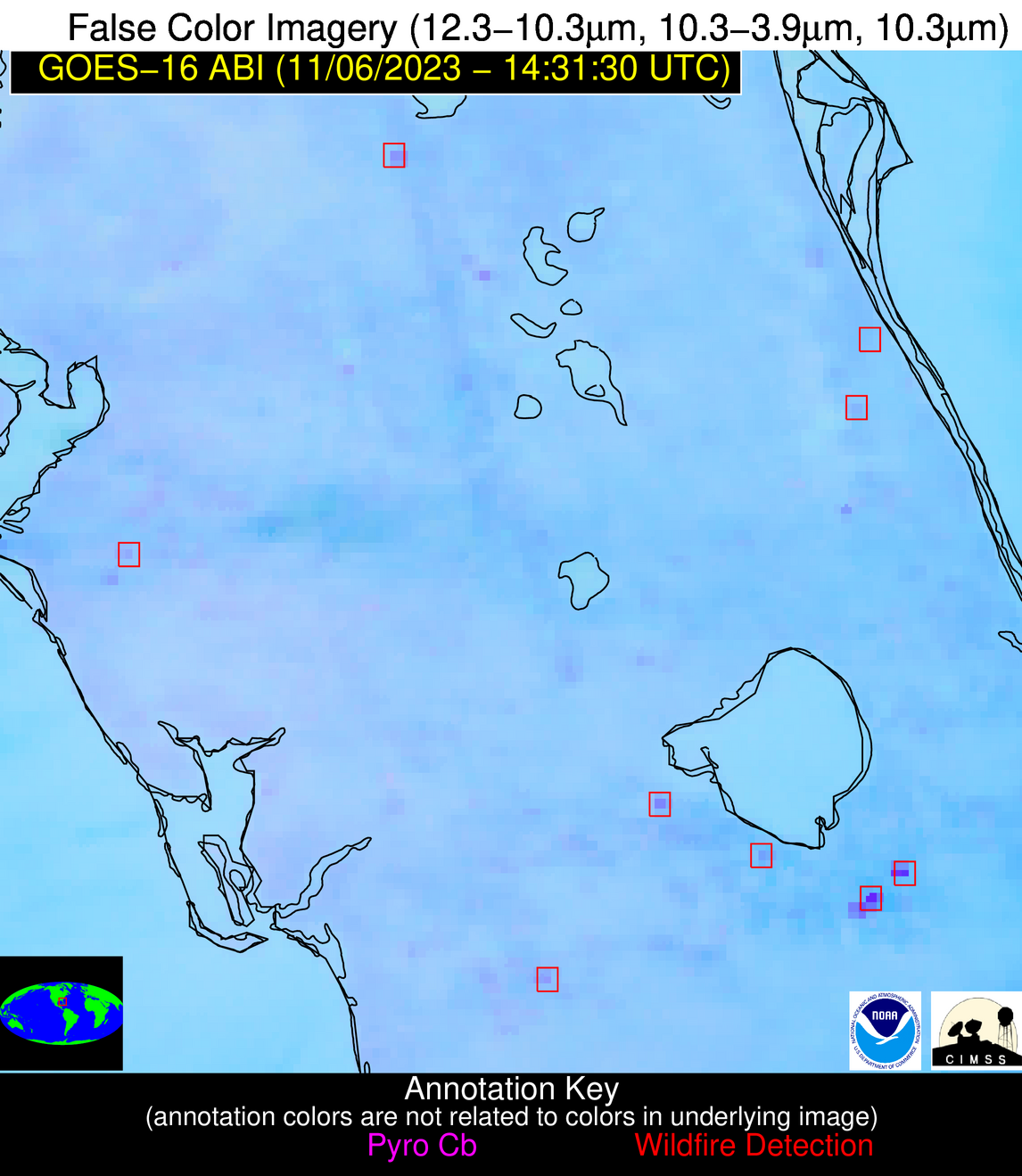
Wildfire Alert Report
| Date: | 2023-11-06 |
|---|---|
| Time: | 14:31:17 |
| Production Date and Time: | 2023-11-06 14:35:57 UTC |
| Primary Instrument: | GOES-16 ABI |
| Wmo Spacecraft Id: | 152 |
| Location/orbit: | GEO |
| L1 File: | OR_ABI-L1b-RadC-M6C14_G16_s20233101431174_e20233101433547_c20233101434033.nc |
| L1 File(s) - Temporal | OR_ABI-L1b-RadC-M6C14_G16_s20233101426174_e20233101428547_c20233101429010.nc |
| Number Of Thermal Anomaly Alerts: | 5 |
Possible Wildfire
| Basic Information | |
|---|---|
| State/Province(s) | FL |
| Country/Countries | USA |
| County/Locality(s) | Lake County, FL |
| NWS WFO | Melbourne FL |
| Identification Method | Enhanced Contextual (Clear) |
| Mean Object Date/Time | 2023-11-06 14:32:52UTC |
| Radiative Center (Lat, Lon): | 28.470000°, -81.720000° |
| Nearby Counties (meeting alert criteria): |
|
| Total Radiative Power Anomaly | n/a |
| Total Radiative Power | 32.96 MW |
| Map: | |
| Additional Information | |
| Alert Status | New Feature |
| Type of Event | Nominal Risk |
| Event Priority Ranking | 4 |
| Maximum Observed BT (3.9 um) | 304.97 K |
| Observed - Background BT (3.9 um) | 8.77 K |
| BT Anomaly (3.9 um) | 5.48 K |
| Maximum Observed - Clear RTM BT (3.9 um) | 12.26 K |
| Maximum Observed BTD (3.9-10/11/12 um) | 10.99 K |
| Observed - Background BTD (3.9-10/11/12 um) | 7.27 K |
| BTD Anomaly (3.9-10/11/12 um) | 9.42 K |
| Similar Pixel Count | 4 |
| BT Time Tendency (3.9 um) | 7.80 K |
| Image Interval | 5.00 minutes |
| Fraction of Surrounding LWIR Pixels that are Colder | 0.35 |
| Fraction of Surrounding Red Channel Pixels that are Brighter | 0.59 |
| Maximum Radiative Power | 18.51 MW |
| Maximum Radiative Power Uncertainty | 0.00 MW |
| Total Radiative Power Uncertainty | 0.00 MW |
| Mean Viewing Angle | 34.10° |
| Mean Solar Zenith Angle | 58.60° |
| Mean Glint Angle | 88.40° |
| Water Fraction | 0.00 |
| Total Pixel Area | 10.30 km2 |
| Latest Satellite Imagery: | |
| View all event imagery » | |
Possible Wildfire
| Basic Information | |
|---|---|
| State/Province(s) | FL |
| Country/Countries | USA |
| County/Locality(s) | Indian River County, FL |
| NWS WFO | Melbourne FL |
| Identification Method | Enhanced Contextual (Clear) |
| Mean Object Date/Time | 2023-11-06 14:32:52UTC |
| Radiative Center (Lat, Lon): | 27.820000°, -80.650000° |
| Nearby Counties (meeting alert criteria): |
|
| Total Radiative Power Anomaly | n/a |
| Total Radiative Power | 6.07 MW |
| Map: | |
| Additional Information | |
| Alert Status | New Feature |
| Type of Event | Nominal Risk |
| Event Priority Ranking | 4 |
| Maximum Observed BT (3.9 um) | 300.84 K |
| Observed - Background BT (3.9 um) | 4.21 K |
| BT Anomaly (3.9 um) | 2.84 K |
| Maximum Observed - Clear RTM BT (3.9 um) | 10.58 K |
| Maximum Observed BTD (3.9-10/11/12 um) | 6.65 K |
| Observed - Background BTD (3.9-10/11/12 um) | 3.20 K |
| BTD Anomaly (3.9-10/11/12 um) | 4.45 K |
| Similar Pixel Count | 5 |
| BT Time Tendency (3.9 um) | 1.90 K |
| Image Interval | 5.00 minutes |
| Fraction of Surrounding LWIR Pixels that are Colder | 0.93 |
| Fraction of Surrounding Red Channel Pixels that are Brighter | 0.98 |
| Maximum Radiative Power | 6.07 MW |
| Maximum Radiative Power Uncertainty | 0.00 MW |
| Total Radiative Power Uncertainty | 0.00 MW |
| Mean Viewing Angle | 33.20° |
| Mean Solar Zenith Angle | 57.50° |
| Mean Glint Angle | 86.10° |
| Water Fraction | 0.00 |
| Total Pixel Area | 5.10 km2 |
| Latest Satellite Imagery: | |
| View all event imagery » | |
Possible Wildfire
| Basic Information | |
|---|---|
| State/Province(s) | FL |
| Country/Countries | USA |
| County/Locality(s) | Manatee County, FL |
| NWS WFO | Tampa Bay Ruskin FL |
| Identification Method | Enhanced Contextual (Clear) |
| Mean Object Date/Time | 2023-11-06 14:32:52UTC |
| Radiative Center (Lat, Lon): | 27.440000°, -82.340000° |
| Nearby Counties (meeting alert criteria): |
|
| Total Radiative Power Anomaly | n/a |
| Total Radiative Power | 7.71 MW |
| Map: | |
| Additional Information | |
| Alert Status | New Feature |
| Type of Event | Nominal Risk |
| Event Priority Ranking | 4 |
| Maximum Observed BT (3.9 um) | 301.04 K |
| Observed - Background BT (3.9 um) | 3.68 K |
| BT Anomaly (3.9 um) | 4.22 K |
| Maximum Observed - Clear RTM BT (3.9 um) | 10.32 K |
| Maximum Observed BTD (3.9-10/11/12 um) | 7.90 K |
| Observed - Background BTD (3.9-10/11/12 um) | 3.63 K |
| BTD Anomaly (3.9-10/11/12 um) | 4.31 K |
| Similar Pixel Count | 4 |
| BT Time Tendency (3.9 um) | 1.20 K |
| Image Interval | 5.00 minutes |
| Fraction of Surrounding LWIR Pixels that are Colder | 0.55 |
| Fraction of Surrounding Red Channel Pixels that are Brighter | 1.00 |
| Maximum Radiative Power | 7.71 MW |
| Maximum Radiative Power Uncertainty | 0.00 MW |
| Total Radiative Power Uncertainty | 0.00 MW |
| Mean Viewing Angle | 33.10° |
| Mean Solar Zenith Angle | 58.30° |
| Mean Glint Angle | 87.40° |
| Water Fraction | 0.00 |
| Total Pixel Area | 5.10 km2 |
| Latest Satellite Imagery: | |
| View all event imagery » | |
Possible Wildfire
| Basic Information | |
|---|---|
| State/Province(s) | FL |
| Country/Countries | USA |
| County/Locality(s) | Palm Beach County, FL |
| NWS WFO | Miami FL |
| Identification Method | Enhanced Contextual (Cloud) |
| Mean Object Date/Time | 2023-11-06 14:32:52UTC |
| Radiative Center (Lat, Lon): | 26.620000°, -80.530000° |
| Nearby Counties (meeting alert criteria): |
|
| Total Radiative Power Anomaly | n/a |
| Total Radiative Power | 135.19 MW |
| Map: | |
| Additional Information | |
| Alert Status | New Feature |
| Type of Event | Nominal Risk |
| Event Priority Ranking | 4 |
| Maximum Observed BT (3.9 um) | 319.10 K |
| Observed - Background BT (3.9 um) | 20.72 K |
| BT Anomaly (3.9 um) | 6.88 K |
| Maximum Observed - Clear RTM BT (3.9 um) | 27.12 K |
| Maximum Observed BTD (3.9-10/11/12 um) | 25.86 K |
| Observed - Background BTD (3.9-10/11/12 um) | 20.31 K |
| BTD Anomaly (3.9-10/11/12 um) | 7.87 K |
| Similar Pixel Count | 0 |
| BT Time Tendency (3.9 um) | 20.40 K |
| Image Interval | 5.00 minutes |
| Fraction of Surrounding LWIR Pixels that are Colder | 0.62 |
| Fraction of Surrounding Red Channel Pixels that are Brighter | 1.00 |
| Maximum Radiative Power | 68.93 MW |
| Maximum Radiative Power Uncertainty | 0.00 MW |
| Total Radiative Power Uncertainty | 0.00 MW |
| Mean Viewing Angle | 31.80° |
| Mean Solar Zenith Angle | 56.60° |
| Mean Glint Angle | 84.00° |
| Water Fraction | 0.00 |
| Total Pixel Area | 9.90 km2 |
| Latest Satellite Imagery: | |
| View all event imagery » | |
Possible Wildfire
| Basic Information | |
|---|---|
| State/Province(s) | FL |
| Country/Countries | USA |
| County/Locality(s) | Collier County, FL |
| NWS WFO | Miami FL |
| Identification Method | Enhanced Contextual (Clear) |
| Mean Object Date/Time | 2023-11-06 14:32:52UTC |
| Radiative Center (Lat, Lon): | 26.350000°, -81.370000° |
| Nearby Counties (meeting alert criteria): |
|
| Total Radiative Power Anomaly | n/a |
| Total Radiative Power | 25.17 MW |
| Map: | |
| Additional Information | |
| Alert Status | New Feature |
| Type of Event | Nominal Risk |
| Event Priority Ranking | 4 |
| Maximum Observed BT (3.9 um) | 303.05 K |
| Observed - Background BT (3.9 um) | 6.86 K |
| BT Anomaly (3.9 um) | 5.43 K |
| Maximum Observed - Clear RTM BT (3.9 um) | 11.55 K |
| Maximum Observed BTD (3.9-10/11/12 um) | 10.16 K |
| Observed - Background BTD (3.9-10/11/12 um) | 6.12 K |
| BTD Anomaly (3.9-10/11/12 um) | 8.18 K |
| Similar Pixel Count | 4 |
| BT Time Tendency (3.9 um) | 1.80 K |
| Image Interval | 5.00 minutes |
| Fraction of Surrounding LWIR Pixels that are Colder | 0.81 |
| Fraction of Surrounding Red Channel Pixels that are Brighter | 0.76 |
| Maximum Radiative Power | 14.34 MW |
| Maximum Radiative Power Uncertainty | 0.00 MW |
| Total Radiative Power Uncertainty | 0.00 MW |
| Mean Viewing Angle | 31.70° |
| Mean Solar Zenith Angle | 56.90° |
| Mean Glint Angle | 84.50° |
| Water Fraction | 0.00 |
| Total Pixel Area | 9.90 km2 |
| Latest Satellite Imagery: | |
| View all event imagery » | |


