Wildfire Alert Report
| Date: | 2023-11-02 |
|---|---|
| Time: | 12:26:17 |
| Production Date and Time: | 2023-11-02 12:30:49 UTC |
| Primary Instrument: | GOES-16 ABI |
| Wmo Spacecraft Id: | 152 |
| Location/orbit: | GEO |
| L1 File: | OR_ABI-L1b-RadC-M6C14_G16_s20233061226172_e20233061228545_c20233061229011.nc |
| L1 File(s) - Temporal | OR_ABI-L1b-RadC-M6C14_G16_s20233061221172_e20233061223545_c20233061224029.nc |
| Number Of Thermal Anomaly Alerts: | 3 |
Possible Wildfire
| Basic Information | |
|---|---|
| State/Province(s) | TN |
| Country/Countries | USA |
| County/Locality(s) | Perry County, TN |
| NWS WFO | Nashville TN |
| Identification Method | Enhanced Contextual (Clear) |
| Mean Object Date/Time | 2023-11-02 12:27:21UTC |
| Radiative Center (Lat, Lon): | 35.780000°, -87.780000° |
| Nearby Counties (meeting alert criteria): |
|
| Total Radiative Power Anomaly | n/a |
| Total Radiative Power | 7.24 MW |
| Map: | |
| Additional Information | |
| Alert Status | New Feature |
| Type of Event | Nominal Risk |
| Event Priority Ranking | 4 |
| Maximum Observed BT (3.9 um) | 275.69 K |
| Observed - Background BT (3.9 um) | 6.91 K |
| BT Anomaly (3.9 um) | 9.91 K |
| Maximum Observed - Clear RTM BT (3.9 um) | 5.66 K |
| Maximum Observed BTD (3.9-10/11/12 um) | 7.54 K |
| Observed - Background BTD (3.9-10/11/12 um) | 7.40 K |
| BTD Anomaly (3.9-10/11/12 um) | 37.38 K |
| Similar Pixel Count | 1 |
| BT Time Tendency (3.9 um) | 7.20 K |
| Image Interval | 5.00 minutes |
| Fraction of Surrounding LWIR Pixels that are Colder | 0.19 |
| Fraction of Surrounding Red Channel Pixels that are Brighter | 1.00 |
| Maximum Radiative Power | 7.24 MW |
| Maximum Radiative Power Uncertainty | 0.00 MW |
| Total Radiative Power Uncertainty | 0.00 MW |
| Mean Viewing Angle | 43.80° |
| Mean Solar Zenith Angle | 88.30° |
| Mean Glint Angle | 115.20° |
| Water Fraction | 0.00 |
| Total Pixel Area | 6.10 km2 |
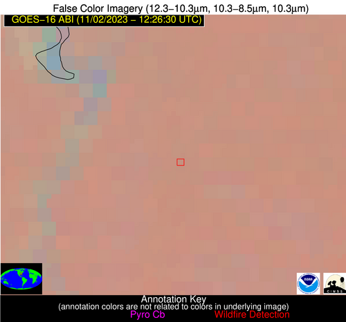
| Latest Satellite Imagery: | |
| View all event imagery » | |
Possible Wildfire
| Basic Information | |
|---|---|
| State/Province(s) | AL |
| Country/Countries | USA |
| County/Locality(s) | Hale County, AL |
| NWS WFO | Birmingham AL |
| Identification Method | Enhanced Contextual (Clear) |
| Mean Object Date/Time | 2023-11-02 12:27:21UTC |
| Radiative Center (Lat, Lon): | 32.490000°, -87.710000° |
| Nearby Counties (meeting alert criteria): |
|
| Total Radiative Power Anomaly | n/a |
| Total Radiative Power | 6.92 MW |
| Map: | |
| Additional Information | |
| Alert Status | New Feature |
| Type of Event | Nominal Risk |
| Event Priority Ranking | 4 |
| Maximum Observed BT (3.9 um) | 277.42 K |
| Observed - Background BT (3.9 um) | 6.65 K |
| BT Anomaly (3.9 um) | 7.57 K |
| Maximum Observed - Clear RTM BT (3.9 um) | 5.68 K |
| Maximum Observed BTD (3.9-10/11/12 um) | 7.16 K |
| Observed - Background BTD (3.9-10/11/12 um) | 7.01 K |
| BTD Anomaly (3.9-10/11/12 um) | 25.63 K |
| Similar Pixel Count | 1 |
| BT Time Tendency (3.9 um) | 2.40 K |
| Image Interval | 5.00 minutes |
| Fraction of Surrounding LWIR Pixels that are Colder | 0.35 |
| Fraction of Surrounding Red Channel Pixels that are Brighter | 1.00 |
| Maximum Radiative Power | 6.92 MW |
| Maximum Radiative Power Uncertainty | 0.00 MW |
| Total Radiative Power Uncertainty | 0.00 MW |
| Mean Viewing Angle | 40.30° |
| Mean Solar Zenith Angle | 87.20° |
| Mean Glint Angle | 113.10° |
| Water Fraction | 0.00 |
| Total Pixel Area | 5.70 km2 |
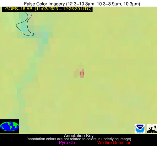
| Latest Satellite Imagery: | |
| View all event imagery » | |
Possible Wildfire
| Basic Information | |
|---|---|
| State/Province(s) | FL |
| Country/Countries | USA |
| County/Locality(s) | Jackson County, FL |
| NWS WFO | Tallahassee FL |
| Identification Method | Enhanced Contextual (Clear) |
| Mean Object Date/Time | 2023-11-02 12:27:21UTC |
| Radiative Center (Lat, Lon): | 30.930000°, -85.480000° |
| Nearby Counties (meeting alert criteria): |
|
| Total Radiative Power Anomaly | n/a |
| Total Radiative Power | 3.22 MW |
| Map: | |
| Additional Information | |
| Alert Status | New Feature |
| Type of Event | Nominal Risk |
| Event Priority Ranking | 4 |
| Maximum Observed BT (3.9 um) | 277.12 K |
| Observed - Background BT (3.9 um) | 3.31 K |
| BT Anomaly (3.9 um) | 4.22 K |
| Maximum Observed - Clear RTM BT (3.9 um) | 3.58 K |
| Maximum Observed BTD (3.9-10/11/12 um) | 3.34 K |
| Observed - Background BTD (3.9-10/11/12 um) | 3.28 K |
| BTD Anomaly (3.9-10/11/12 um) | 19.68 K |
| Similar Pixel Count | 1 |
| BT Time Tendency (3.9 um) | 2.20 K |
| Image Interval | 5.00 minutes |
| Fraction of Surrounding LWIR Pixels that are Colder | 0.46 |
| Fraction of Surrounding Red Channel Pixels that are Brighter | 0.99 |
| Maximum Radiative Power | 3.22 MW |
| Maximum Radiative Power Uncertainty | 0.00 MW |
| Total Radiative Power Uncertainty | 0.00 MW |
| Mean Viewing Angle | 37.90° |
| Mean Solar Zenith Angle | 84.90° |
| Mean Glint Angle | 108.70° |
| Water Fraction | 0.00 |
| Total Pixel Area | 5.50 km2 |
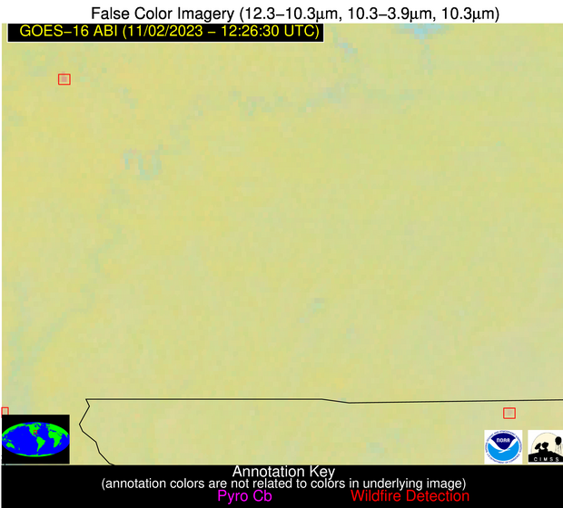
| Latest Satellite Imagery: | |
| View all event imagery » | |


