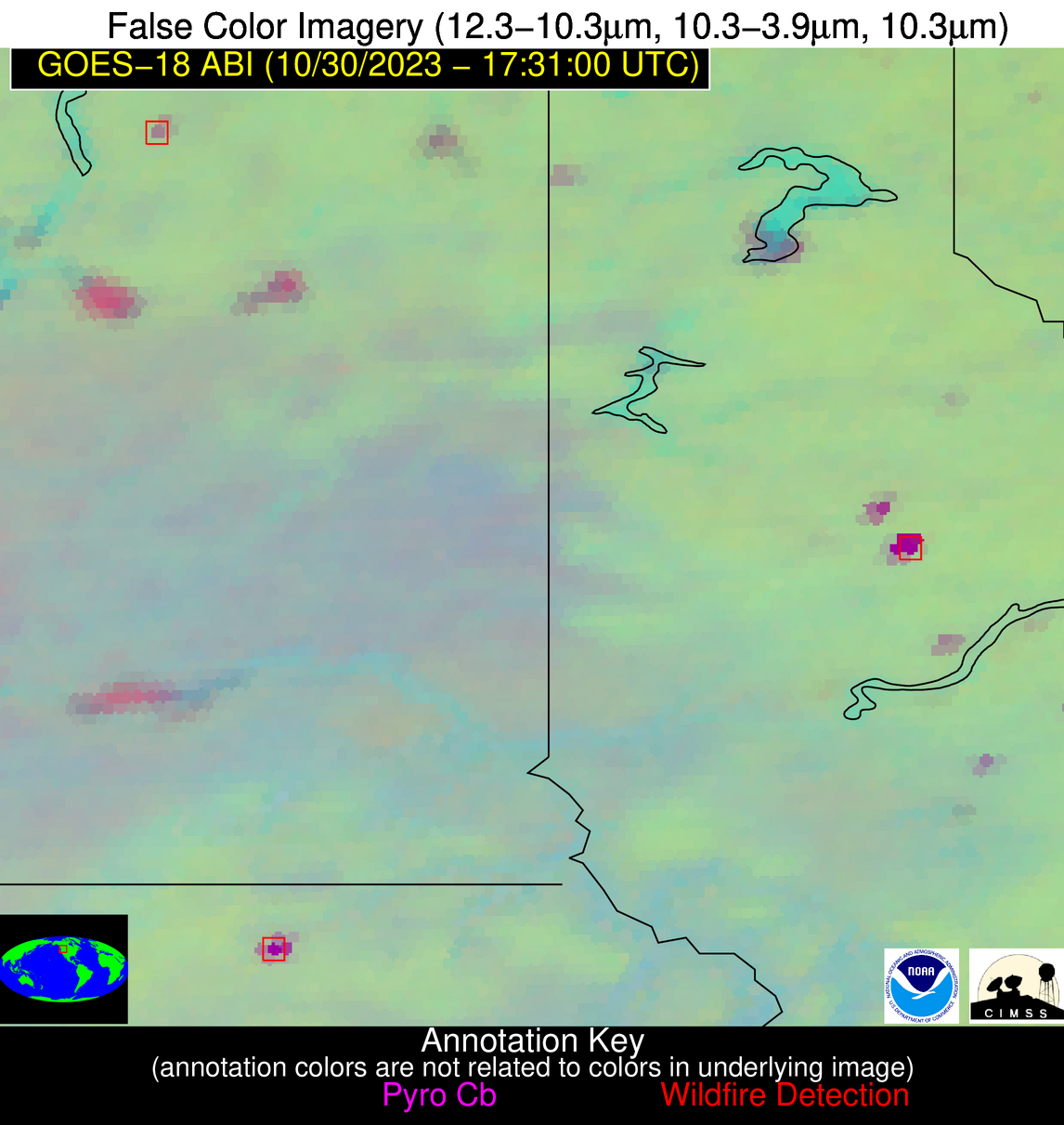
Wildfire Alert Report
| Date: | 2023-10-30 |
|---|---|
| Time: | 17:30:55 |
| Production Date and Time: | 2023-10-30 17:31:30 UTC |
| Primary Instrument: | GOES-18 ABI |
| Wmo Spacecraft Id: | 665 |
| Location/orbit: | GEO |
| L1 File: | OR_ABI-L1b-RadM2-M6C14_G18_s20233031730552_e20233031731009_c20233031731063.nc |
| L1 File(s) - Temporal | NONE |
| Number Of Thermal Anomaly Alerts: | 3 |
Possible Wildfire
| Basic Information | |
|---|---|
| State/Province(s) | WA |
| Country/Countries | USA |
| County/Locality(s) | Stevens County, WA |
| NWS WFO | Spokane WA |
| Identification Method | Enhanced Contextual (Clear) |
| Mean Object Date/Time | 2023-10-30 17:30:56UTC |
| Radiative Center (Lat, Lon): | 48.360000°, -117.980000° |
| Nearby Counties (meeting alert criteria): |
|
| Total Radiative Power Anomaly | n/a |
| Total Radiative Power | 19.20 MW |
| Map: | |
| Additional Information | |
| Alert Status | New Feature |
| Type of Event | Nominal Risk |
| Event Priority Ranking | 4 |
| Maximum Observed BT (3.9 um) | 283.51 K |
| Observed - Background BT (3.9 um) | 9.00 K |
| BT Anomaly (3.9 um) | 8.49 K |
| Maximum Observed - Clear RTM BT (3.9 um) | 8.22 K |
| Maximum Observed BTD (3.9-10/11/12 um) | 13.12 K |
| Observed - Background BTD (3.9-10/11/12 um) | 9.81 K |
| BTD Anomaly (3.9-10/11/12 um) | 12.63 K |
| Similar Pixel Count | 1 |
| BT Time Tendency (3.9 um) | -999.00 K |
| Image Interval | -999.00 minutes |
| Fraction of Surrounding LWIR Pixels that are Colder | 0.12 |
| Fraction of Surrounding Red Channel Pixels that are Brighter | 1.00 |
| Maximum Radiative Power | 19.20 MW |
| Maximum Radiative Power Uncertainty | 0.00 MW |
| Total Radiative Power Uncertainty | 0.00 MW |
| Mean Viewing Angle | 58.80° |
| Mean Solar Zenith Angle | 67.90° |
| Mean Glint Angle | 103.30° |
| Water Fraction | 0.00 |
| Total Pixel Area | 9.40 km2 |
| Latest Satellite Imagery: | |
| View all event imagery » | |
Possible Wildfire
| Basic Information | |
|---|---|
| State/Province(s) | ID |
| Country/Countries | USA |
| County/Locality(s) | Shoshone County, ID |
| NWS WFO | Spokane WA |
| Identification Method | Enhanced Contextual (Cloud) |
| Mean Object Date/Time | 2023-10-30 17:30:56UTC |
| Radiative Center (Lat, Lon): | 47.060000°, -116.160000° |
| Nearby Counties (meeting alert criteria): |
|
| Total Radiative Power Anomaly | n/a |
| Total Radiative Power | 518.30 MW |
| Map: | |
| Additional Information | |
| Alert Status | New Feature |
| Type of Event | Nominal Risk |
| Event Priority Ranking | 4 |
| Maximum Observed BT (3.9 um) | 308.63 K |
| Observed - Background BT (3.9 um) | 34.88 K |
| BT Anomaly (3.9 um) | 15.31 K |
| Maximum Observed - Clear RTM BT (3.9 um) | 32.30 K |
| Maximum Observed BTD (3.9-10/11/12 um) | 36.61 K |
| Observed - Background BTD (3.9-10/11/12 um) | 34.06 K |
| BTD Anomaly (3.9-10/11/12 um) | 16.74 K |
| Similar Pixel Count | 0 |
| BT Time Tendency (3.9 um) | -999.00 K |
| Image Interval | -999.00 minutes |
| Fraction of Surrounding LWIR Pixels that are Colder | 0.76 |
| Fraction of Surrounding Red Channel Pixels that are Brighter | 0.94 |
| Maximum Radiative Power | 159.11 MW |
| Maximum Radiative Power Uncertainty | 0.00 MW |
| Total Radiative Power Uncertainty | 0.00 MW |
| Mean Viewing Angle | 58.20° |
| Mean Solar Zenith Angle | 66.10° |
| Mean Glint Angle | 100.90° |
| Water Fraction | 0.00 |
| Total Pixel Area | 37.30 km2 |
| Latest Satellite Imagery: | |
| View all event imagery » | |
Possible Wildfire
| Basic Information | |
|---|---|
| State/Province(s) | OR |
| Country/Countries | USA |
| County/Locality(s) | Wallowa County, OR |
| NWS WFO | Pendleton OR |
| Identification Method | Enhanced Contextual (Cloud) |
| Mean Object Date/Time | 2023-10-30 17:30:56UTC |
| Radiative Center (Lat, Lon): | 45.800000°, -117.700000° |
| Nearby Counties (meeting alert criteria): |
|
| Total Radiative Power Anomaly | n/a |
| Total Radiative Power | 228.50 MW |
| Map: | |
| Additional Information | |
| Alert Status | New Feature |
| Type of Event | Nominal Risk |
| Event Priority Ranking | 4 |
| Maximum Observed BT (3.9 um) | 313.05 K |
| Observed - Background BT (3.9 um) | 35.75 K |
| BT Anomaly (3.9 um) | 20.93 K |
| Maximum Observed - Clear RTM BT (3.9 um) | 35.80 K |
| Maximum Observed BTD (3.9-10/11/12 um) | 38.99 K |
| Observed - Background BTD (3.9-10/11/12 um) | 35.71 K |
| BTD Anomaly (3.9-10/11/12 um) | 44.91 K |
| Similar Pixel Count | 0 |
| BT Time Tendency (3.9 um) | -999.00 K |
| Image Interval | -999.00 minutes |
| Fraction of Surrounding LWIR Pixels that are Colder | 0.56 |
| Fraction of Surrounding Red Channel Pixels that are Brighter | 0.89 |
| Maximum Radiative Power | 165.68 MW |
| Maximum Radiative Power Uncertainty | 0.00 MW |
| Total Radiative Power Uncertainty | 0.00 MW |
| Mean Viewing Angle | 56.40° |
| Mean Solar Zenith Angle | 65.60° |
| Mean Glint Angle | 99.20° |
| Water Fraction | 0.00 |
| Total Pixel Area | 17.40 km2 |
| Latest Satellite Imagery: | |
| View all event imagery » | |


