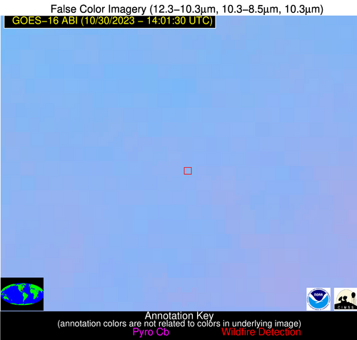
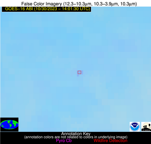
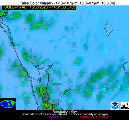
Wildfire Alert Report
| Date: | 2023-10-30 |
|---|---|
| Time: | 14:01:17 |
| Production Date and Time: | 2023-10-30 14:05:42 UTC |
| Primary Instrument: | GOES-16 ABI |
| Wmo Spacecraft Id: | 152 |
| Location/orbit: | GEO |
| L1 File: | OR_ABI-L1b-RadC-M6C14_G16_s20233031401171_e20233031403544_c20233031404022.nc |
| L1 File(s) - Temporal | OR_ABI-L1b-RadC-M6C14_G16_s20233031356171_e20233031358544_c20233031359024.nc |
| Number Of Thermal Anomaly Alerts: | 3 |
Possible Wildfire
| Basic Information | |
|---|---|
| State/Province(s) | GA |
| Country/Countries | USA |
| County/Locality(s) | Oconee County, GA |
| NWS WFO | Peachtree City GA |
| Identification Method | Enhanced Contextual (Clear) |
| Mean Object Date/Time | 2023-10-30 14:02:21UTC |
| Radiative Center (Lat, Lon): | 33.850°, -83.550° |
| Nearby Counties (meeting alert criteria): |
|
| Total Radiative Power Anomaly | n/a |
| Total Radiative Power | 7.93 MW |
| Map: | |
| Additional Information | |
| Alert Status | New Feature |
| Type of Event | Nominal Risk |
| Event Priority Ranking | 4 |
| Maximum Observed BT (3.9 um) | 296.07 K |
| Observed - Background BT (3.9 um) | 3.62 K |
| BT Anomaly (3.9 um) | 5.45 K |
| Maximum Observed - Clear RTM BT (3.9 um) | 6.11 K |
| Maximum Observed BTD (3.9-10/11/12 um) | 6.38 K |
| Observed - Background BTD (3.9-10/11/12 um) | 3.32 K |
| BTD Anomaly (3.9-10/11/12 um) | 7.24 K |
| Similar Pixel Count | 1 |
| BT Time Tendency (3.9 um) | 1.20 K |
| Image Interval | 5.00 minutes |
| Fraction of Surrounding LWIR Pixels that are Colder | 0.86 |
| Fraction of Surrounding Red Channel Pixels that are Brighter | 0.91 |
| Maximum Radiative Power | 7.93 MW |
| Maximum Radiative Power Uncertainty | 0.00 MW |
| Total Radiative Power Uncertainty | 0.00 MW |
| Mean Viewing Angle | 40.50° |
| Mean Solar Zenith Angle | 66.60° |
| Mean Glint Angle | 99.50° |
| Water Fraction | 0.00 |
| Total Pixel Area | 5.70 km2 |
| Latest Satellite Imagery: | |
| View all event imagery » | |
Possible Wildfire
| Basic Information | |
|---|---|
| State/Province(s) | FL |
| Country/Countries | USA |
| County/Locality(s) | Sarasota County, FL |
| NWS WFO | Tampa Bay Ruskin FL |
| Identification Method | Enhanced Contextual (Clear) |
| Mean Object Date/Time | 2023-10-30 14:02:52UTC |
| Radiative Center (Lat, Lon): | 27.370°, -82.380° |
| Nearby Counties (meeting alert criteria): |
|
| Total Radiative Power Anomaly | n/a |
| Total Radiative Power | 15.42 MW |
| Map: | |
| Additional Information | |
| Alert Status | New Feature |
| Type of Event | Nominal Risk |
| Event Priority Ranking | 4 |
| Maximum Observed BT (3.9 um) | 303.99 K |
| Observed - Background BT (3.9 um) | 6.29 K |
| BT Anomaly (3.9 um) | 5.65 K |
| Maximum Observed - Clear RTM BT (3.9 um) | 9.25 K |
| Maximum Observed BTD (3.9-10/11/12 um) | 12.72 K |
| Observed - Background BTD (3.9-10/11/12 um) | 6.24 K |
| BTD Anomaly (3.9-10/11/12 um) | 6.47 K |
| Similar Pixel Count | 3 |
| BT Time Tendency (3.9 um) | 2.00 K |
| Image Interval | 5.00 minutes |
| Fraction of Surrounding LWIR Pixels that are Colder | 0.70 |
| Fraction of Surrounding Red Channel Pixels that are Brighter | 0.71 |
| Maximum Radiative Power | 15.42 MW |
| Maximum Radiative Power Uncertainty | 0.00 MW |
| Total Radiative Power Uncertainty | 0.00 MW |
| Mean Viewing Angle | 33.10° |
| Mean Solar Zenith Angle | 62.00° |
| Mean Glint Angle | 88.70° |
| Water Fraction | 0.00 |
| Total Pixel Area | 5.10 km2 |
| Latest Satellite Imagery: | |
| View all event imagery » | |
Possible Wildfire
| Basic Information | |
|---|---|
| State/Province(s) | FL |
| Country/Countries | USA |
| County/Locality(s) | Hendry County, FL |
| NWS WFO | Miami FL |
| Identification Method | Enhanced Contextual (Clear) |
| Mean Object Date/Time | 2023-10-30 14:02:52UTC |
| Radiative Center (Lat, Lon): | 26.710°, -81.310° |
| Nearby Counties (meeting alert criteria): |
|
| Total Radiative Power Anomaly | n/a |
| Total Radiative Power | 55.23 MW |
| Map: | |
| Additional Information | |
| Alert Status | New Feature |
| Type of Event | Nominal Risk |
| Event Priority Ranking | 4 |
| Maximum Observed BT (3.9 um) | 308.16 K |
| Observed - Background BT (3.9 um) | 13.65 K |
| BT Anomaly (3.9 um) | 10.58 K |
| Maximum Observed - Clear RTM BT (3.9 um) | 13.60 K |
| Maximum Observed BTD (3.9-10/11/12 um) | 24.00 K |
| Observed - Background BTD (3.9-10/11/12 um) | 13.69 K |
| BTD Anomaly (3.9-10/11/12 um) | 9.87 K |
| Similar Pixel Count | 9 |
| BT Time Tendency (3.9 um) | 8.60 K |
| Image Interval | 5.00 minutes |
| Fraction of Surrounding LWIR Pixels that are Colder | 0.53 |
| Fraction of Surrounding Red Channel Pixels that are Brighter | 0.66 |
| Maximum Radiative Power | 33.87 MW |
| Maximum Radiative Power Uncertainty | 0.00 MW |
| Total Radiative Power Uncertainty | 0.00 MW |
| Mean Viewing Angle | 32.10° |
| Mean Solar Zenith Angle | 60.80° |
| Mean Glint Angle | 86.30° |
| Water Fraction | 0.00 |
| Total Pixel Area | 10.00 km2 |
| Latest Satellite Imagery: | |
| View all event imagery » | |


