Wildfire Alert Report
| Date: | 2023-10-27 |
|---|---|
| Time: | 17:46:17 |
| Production Date and Time: | 2023-10-27 17:50:48 UTC |
| Primary Instrument: | GOES-16 ABI |
| Wmo Spacecraft Id: | 152 |
| Location/orbit: | GEO |
| L1 File: | OR_ABI-L1b-RadC-M6C14_G16_s20233001746176_e20233001748549_c20233001749027.nc |
| L1 File(s) - Temporal | OR_ABI-L1b-RadC-M6C14_G16_s20233001741176_e20233001743549_c20233001744028.nc |
| Number Of Thermal Anomaly Alerts: | 3 |
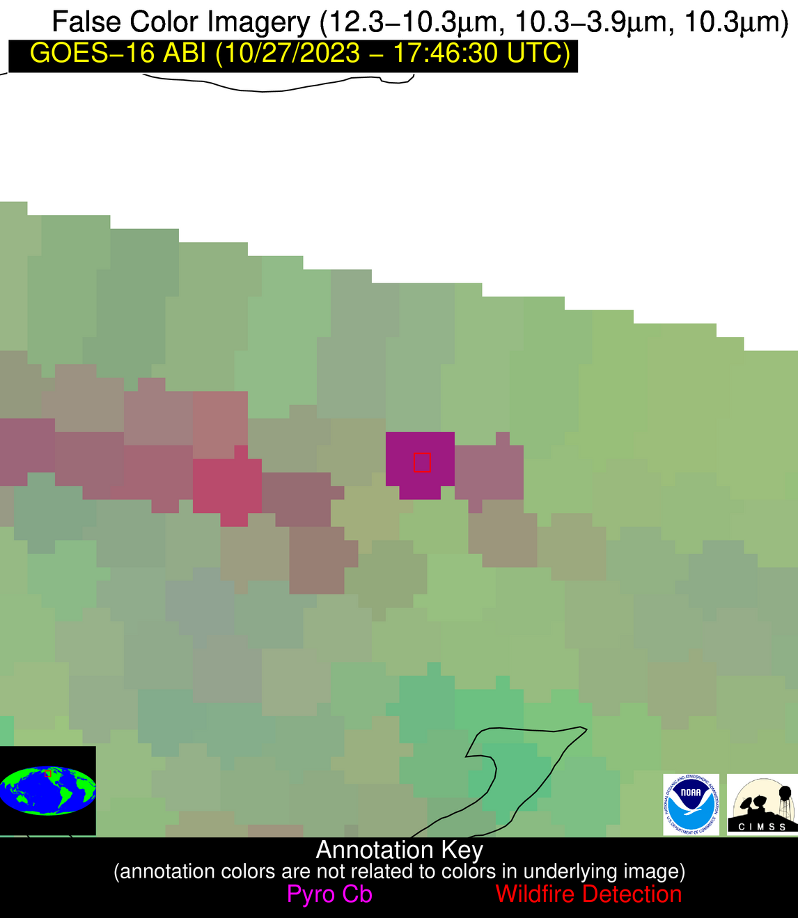
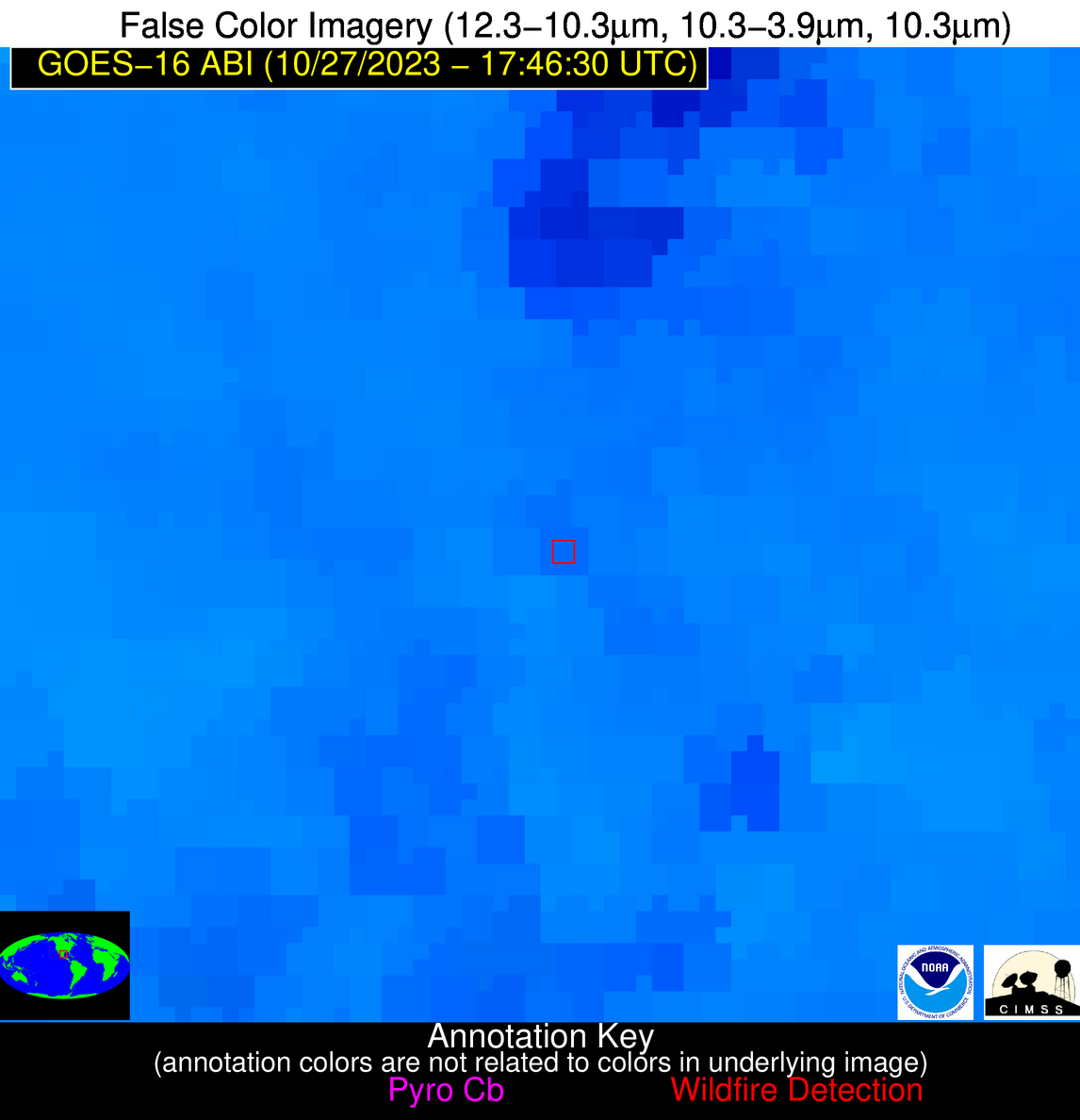
Possible Wildfire
| Basic Information | |
|---|---|
| State/Province(s) | Unknown |
| Country/Countries | Canada |
| County/Locality(s) | Canada |
| NWS WFO | N/A |
| Identification Method | Enhanced Contextual (Cloud) |
| Mean Object Date/Time | 2023-10-27 17:46:19UTC |
| Radiative Center (Lat, Lon): | 53.730000°, -124.970000° |
| Nearby Counties (meeting alert criteria): |
|
| Total Radiative Power Anomaly | n/a |
| Total Radiative Power | 127.76 MW |
| Map: | |
| Additional Information | |
| Alert Status | New Feature |
| Type of Event | Nominal Risk |
| Event Priority Ranking | 4 |
| Maximum Observed BT (3.9 um) | 294.78 K |
| Observed - Background BT (3.9 um) | 20.95 K |
| BT Anomaly (3.9 um) | 8.45 K |
| Maximum Observed - Clear RTM BT (3.9 um) | 26.83 K |
| Maximum Observed BTD (3.9-10/11/12 um) | 27.65 K |
| Observed - Background BTD (3.9-10/11/12 um) | 21.00 K |
| BTD Anomaly (3.9-10/11/12 um) | 8.60 K |
| Similar Pixel Count | 0 |
| BT Time Tendency (3.9 um) | 5.00 K |
| Image Interval | 5.00 minutes |
| Fraction of Surrounding LWIR Pixels that are Colder | 0.48 |
| Fraction of Surrounding Red Channel Pixels that are Brighter | 1.00 |
| Maximum Radiative Power | 127.76 MW |
| Maximum Radiative Power Uncertainty | 0.00 MW |
| Total Radiative Power Uncertainty | 0.00 MW |
| Mean Viewing Angle | 76.80° |
| Mean Solar Zenith Angle | 72.50° |
| Mean Glint Angle | 143.20° |
| Water Fraction | 0.00 |
| Total Pixel Area | 40.40 km2 |
| Latest Satellite Imagery: | |
| View all event imagery » | |
Possible Wildfire
| Basic Information | |
|---|---|
| State/Province(s) | CO |
| Country/Countries | USA |
| County/Locality(s) | Cheyenne County, CO |
| NWS WFO | Goodland KS |
| Identification Method | Enhanced Contextual (Clear) |
| Mean Object Date/Time | 2023-10-27 17:46:49UTC |
| Radiative Center (Lat, Lon): | 38.640000°, -102.690000° |
| Nearby Counties (meeting alert criteria): |
|
| Total Radiative Power Anomaly | n/a |
| Total Radiative Power | 15.33 MW |
| Map: | |
| Additional Information | |
| Alert Status | New Feature |
| Type of Event | Nominal Risk |
| Event Priority Ranking | 4 |
| Maximum Observed BT (3.9 um) | 302.63 K |
| Observed - Background BT (3.9 um) | 5.20 K |
| BT Anomaly (3.9 um) | 3.52 K |
| Maximum Observed - Clear RTM BT (3.9 um) | 15.25 K |
| Maximum Observed BTD (3.9-10/11/12 um) | 14.64 K |
| Observed - Background BTD (3.9-10/11/12 um) | 4.68 K |
| BTD Anomaly (3.9-10/11/12 um) | 4.80 K |
| Similar Pixel Count | 3 |
| BT Time Tendency (3.9 um) | 5.40 K |
| Image Interval | 5.00 minutes |
| Fraction of Surrounding LWIR Pixels that are Colder | 0.76 |
| Fraction of Surrounding Red Channel Pixels that are Brighter | 0.81 |
| Maximum Radiative Power | 15.33 MW |
| Maximum Radiative Power Uncertainty | 0.00 MW |
| Total Radiative Power Uncertainty | 0.00 MW |
| Mean Viewing Angle | 53.40° |
| Mean Solar Zenith Angle | 52.50° |
| Mean Glint Angle | 102.40° |
| Water Fraction | 0.00 |
| Total Pixel Area | 8.30 km2 |
| Latest Satellite Imagery: | |
| View all event imagery » | |
Possible Wildfire
| Basic Information | |
|---|---|
| State/Province(s) | Unknown |
| Country/Countries | Mexico |
| County/Locality(s) | Mexico |
| NWS WFO | N/A |
| Identification Method | Enhanced Contextual (Clear) |
| Mean Object Date/Time | 2023-10-27 17:47:49UTC |
| Radiative Center (Lat, Lon): | 25.350000°, -98.990000° |
| Nearby Counties (meeting alert criteria): |
|
| Total Radiative Power Anomaly | n/a |
| Total Radiative Power | 16.75 MW |
| Map: | |
| Additional Information | |
| Alert Status | New Feature |
| Type of Event | Nominal Risk |
| Event Priority Ranking | 4 |
| Maximum Observed BT (3.9 um) | 315.58 K |
| Observed - Background BT (3.9 um) | 3.73 K |
| BT Anomaly (3.9 um) | 3.46 K |
| Maximum Observed - Clear RTM BT (3.9 um) | 7.43 K |
| Maximum Observed BTD (3.9-10/11/12 um) | 23.70 K |
| Observed - Background BTD (3.9-10/11/12 um) | 3.11 K |
| BTD Anomaly (3.9-10/11/12 um) | 2.99 K |
| Similar Pixel Count | 25 |
| BT Time Tendency (3.9 um) | 1.90 K |
| Image Interval | 5.00 minutes |
| Fraction of Surrounding LWIR Pixels that are Colder | 0.81 |
| Fraction of Surrounding Red Channel Pixels that are Brighter | 1.00 |
| Maximum Radiative Power | 16.75 MW |
| Maximum Radiative Power Uncertainty | 0.00 MW |
| Total Radiative Power Uncertainty | 0.00 MW |
| Mean Viewing Angle | 39.90° |
| Mean Solar Zenith Angle | 38.80° |
| Mean Glint Angle | 75.00° |
| Water Fraction | 0.00 |
| Total Pixel Area | 5.80 km2 |
| Latest Satellite Imagery: | |
| View all event imagery » | |

