Wildfire Alert Report
| Date: | 2023-10-26 |
|---|---|
| Time: | 17:26:17 |
| Production Date and Time: | 2023-10-26 17:30:53 UTC |
| Primary Instrument: | GOES-16 ABI |
| Wmo Spacecraft Id: | 152 |
| Location/orbit: | GEO |
| L1 File: | OR_ABI-L1b-RadC-M6C14_G16_s20232991726175_e20232991728549_c20232991729014.nc |
| L1 File(s) - Temporal | OR_ABI-L1b-RadC-M6C14_G16_s20232991721175_e20232991723549_c20232991724008.nc |
| Number Of Thermal Anomaly Alerts: | 3 |
Possible Wildfire
| Basic Information | |
|---|---|
| State/Province(s) | Unknown |
| Country/Countries | Canada |
| County/Locality(s) | Canada |
| NWS WFO | N/A |
| Identification Method | Enhanced Contextual (Clear) |
| Mean Object Date/Time | 2023-10-26 17:26:19UTC |
| Radiative Center (Lat, Lon): | 49.180000°, -119.470000° |
| Nearby Counties (meeting alert criteria): |
|
| Total Radiative Power Anomaly | n/a |
| Total Radiative Power | 30.17 MW |
| Map: | |
| Additional Information | |
| Alert Status | New Feature |
| Type of Event | Nominal Risk |
| Event Priority Ranking | 4 |
| Maximum Observed BT (3.9 um) | 283.19 K |
| Observed - Background BT (3.9 um) | 6.32 K |
| BT Anomaly (3.9 um) | 5.80 K |
| Maximum Observed - Clear RTM BT (3.9 um) | 10.88 K |
| Maximum Observed BTD (3.9-10/11/12 um) | 12.47 K |
| Observed - Background BTD (3.9-10/11/12 um) | 4.74 K |
| BTD Anomaly (3.9-10/11/12 um) | 5.47 K |
| Similar Pixel Count | 7 |
| BT Time Tendency (3.9 um) | 0.20 K |
| Image Interval | 5.00 minutes |
| Fraction of Surrounding LWIR Pixels that are Colder | 1.00 |
| Fraction of Surrounding Red Channel Pixels that are Brighter | 1.00 |
| Maximum Radiative Power | 17.41 MW |
| Maximum Radiative Power Uncertainty | 0.00 MW |
| Total Radiative Power Uncertainty | 0.00 MW |
| Mean Viewing Angle | 70.80° |
| Mean Solar Zenith Angle | 68.30° |
| Mean Glint Angle | 136.10° |
| Water Fraction | 0.00 |
| Total Pixel Area | 44.60 km2 |
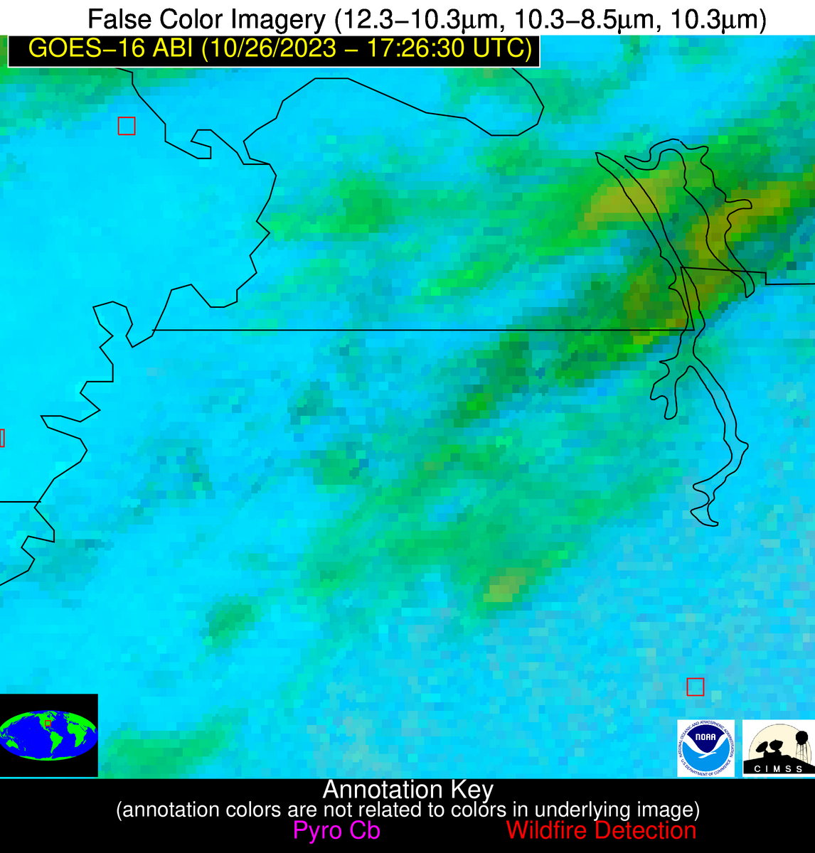
| Latest Satellite Imagery: | |
| View all event imagery » | |
Possible Wildfire
| Basic Information | |
|---|---|
| State/Province(s) | MO |
| Country/Countries | USA |
| County/Locality(s) | Scott County, MO |
| NWS WFO | Paducah KY |
| Identification Method | Enhanced Contextual (Clear) |
| Mean Object Date/Time | 2023-10-26 17:26:51UTC |
| Radiative Center (Lat, Lon): | 37.090000°, -89.480000° |
| Nearby Counties (meeting alert criteria): |
|
| Total Radiative Power Anomaly | n/a |
| Total Radiative Power | 25.81 MW |
| Map: | |
| Additional Information | |
| Alert Status | New Feature |
| Type of Event | Nominal Risk |
| Event Priority Ranking | 4 |
| Maximum Observed BT (3.9 um) | 312.87 K |
| Observed - Background BT (3.9 um) | 7.24 K |
| BT Anomaly (3.9 um) | 4.08 K |
| Maximum Observed - Clear RTM BT (3.9 um) | 16.83 K |
| Maximum Observed BTD (3.9-10/11/12 um) | 24.16 K |
| Observed - Background BTD (3.9-10/11/12 um) | 6.83 K |
| BTD Anomaly (3.9-10/11/12 um) | 5.14 K |
| Similar Pixel Count | 24 |
| BT Time Tendency (3.9 um) | 4.60 K |
| Image Interval | 5.00 minutes |
| Fraction of Surrounding LWIR Pixels that are Colder | 0.77 |
| Fraction of Surrounding Red Channel Pixels that are Brighter | 0.96 |
| Maximum Radiative Power | 25.81 MW |
| Maximum Radiative Power Uncertainty | 0.00 MW |
| Total Radiative Power Uncertainty | 0.00 MW |
| Mean Viewing Angle | 45.80° |
| Mean Solar Zenith Angle | 49.50° |
| Mean Glint Angle | 93.80° |
| Water Fraction | 0.00 |
| Total Pixel Area | 6.40 km2 |
| Latest Satellite Imagery: | |
| View all event imagery » | |
Possible Wildfire
| Basic Information | |
|---|---|
| State/Province(s) | TN |
| Country/Countries | USA |
| County/Locality(s) | Perry County, TN |
| NWS WFO | Nashville TN |
| Identification Method | Enhanced Contextual (Clear) |
| Mean Object Date/Time | 2023-10-26 17:27:21UTC |
| Radiative Center (Lat, Lon): | 35.460000°, -88.030000° |
| Nearby Counties (meeting alert criteria): |
|
| Total Radiative Power Anomaly | n/a |
| Total Radiative Power | 319.00 MW |
| Map: | |
| Additional Information | |
| Alert Status | New Feature |
| Type of Event | Nominal Risk |
| Event Priority Ranking | 4 |
| Maximum Observed BT (3.9 um) | 317.17 K |
| Observed - Background BT (3.9 um) | 13.14 K |
| BT Anomaly (3.9 um) | 20.92 K |
| Maximum Observed - Clear RTM BT (3.9 um) | 21.35 K |
| Maximum Observed BTD (3.9-10/11/12 um) | 32.47 K |
| Observed - Background BTD (3.9-10/11/12 um) | 13.72 K |
| BTD Anomaly (3.9-10/11/12 um) | 8.63 K |
| Similar Pixel Count | 4 |
| BT Time Tendency (3.9 um) | 12.00 K |
| Image Interval | 5.00 minutes |
| Fraction of Surrounding LWIR Pixels that are Colder | 0.25 |
| Fraction of Surrounding Red Channel Pixels that are Brighter | 0.58 |
| Maximum Radiative Power | 121.98 MW |
| Maximum Radiative Power Uncertainty | 0.00 MW |
| Total Radiative Power Uncertainty | 0.00 MW |
| Mean Viewing Angle | 43.60° |
| Mean Solar Zenith Angle | 47.80° |
| Mean Glint Angle | 89.90° |
| Water Fraction | 0.00 |
| Total Pixel Area | 18.40 km2 |
| Latest Satellite Imagery: | |
| View all event imagery » | |


