Wildfire Alert Report
| Date: | 2023-10-16 |
|---|---|
| Time: | 22:31:17 |
| Production Date and Time: | 2023-10-16 22:36:35 UTC |
| Primary Instrument: | GOES-16 ABI |
| Wmo Spacecraft Id: | 152 |
| Location/orbit: | GEO |
| L1 File: | OR_ABI-L1b-RadC-M6C14_G16_s20232892231171_e20232892233544_c20232892234008.nc |
| L1 File(s) - Temporal | OR_ABI-L1b-RadC-M6C14_G16_s20232892226171_e20232892228544_c20232892229026.nc |
| Number Of Thermal Anomaly Alerts: | 5 |
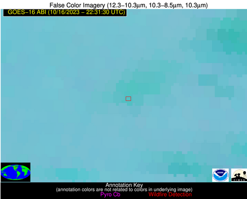
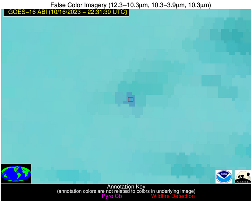
Possible Wildfire
| Basic Information | |
|---|---|
| State/Province(s) | ND |
| Country/Countries | USA |
| County/Locality(s) | Nelson County, ND |
| NWS WFO | Grand Forks ND |
| Identification Method | Enhanced Contextual (Clear) |
| Mean Object Date/Time | 2023-10-16 22:31:20UTC |
| Radiative Center (Lat, Lon): | 47.730000°, -97.970000° |
| Nearby Counties (meeting alert criteria): |
|
| Total Radiative Power Anomaly | n/a |
| Total Radiative Power | 11.49 MW |
| Map: | |
| Additional Information | |
| Alert Status | New Feature |
| Type of Event | Nominal Risk |
| Event Priority Ranking | 4 |
| Maximum Observed BT (3.9 um) | 289.24 K |
| Observed - Background BT (3.9 um) | 4.17 K |
| BT Anomaly (3.9 um) | 13.32 K |
| Maximum Observed - Clear RTM BT (3.9 um) | 8.33 K |
| Maximum Observed BTD (3.9-10/11/12 um) | 10.54 K |
| Observed - Background BTD (3.9-10/11/12 um) | 4.97 K |
| BTD Anomaly (3.9-10/11/12 um) | 4.63 K |
| Similar Pixel Count | 1 |
| BT Time Tendency (3.9 um) | -0.20 K |
| Image Interval | 5.00 minutes |
| Fraction of Surrounding LWIR Pixels that are Colder | 0.04 |
| Fraction of Surrounding Red Channel Pixels that are Brighter | 0.98 |
| Maximum Radiative Power | 11.49 MW |
| Maximum Radiative Power Uncertainty | 0.00 MW |
| Total Radiative Power Uncertainty | 0.00 MW |
| Mean Viewing Angle | 59.50° |
| Mean Solar Zenith Angle | 79.40° |
| Mean Glint Angle | 81.50° |
| Water Fraction | 0.00 |
| Total Pixel Area | 9.90 km2 |
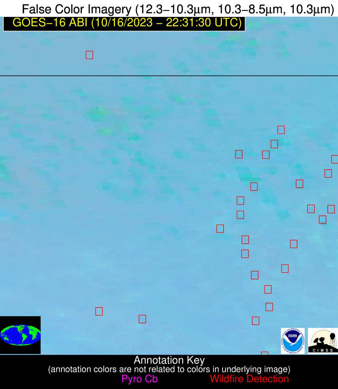
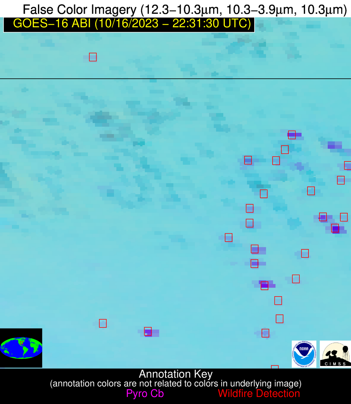
| Latest Satellite Imagery: | |
| View all event imagery » | |
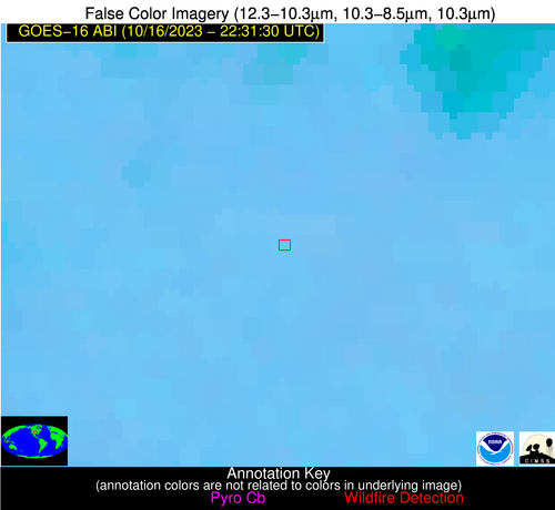
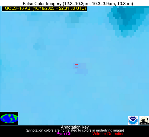
Possible Wildfire
| Basic Information | |
|---|---|
| State/Province(s) | KS |
| Country/Countries | USA |
| County/Locality(s) | Gray County, KS |
| NWS WFO | Dodge City KS |
| Identification Method | Enhanced Contextual (Clear) |
| Mean Object Date/Time | 2023-10-16 22:31:50UTC |
| Radiative Center (Lat, Lon): | 37.760000°, -100.250000° |
| Nearby Counties (meeting alert criteria): |
|
| Total Radiative Power Anomaly | n/a |
| Total Radiative Power | 11.20 MW |
| Map: | |
| Additional Information | |
| Alert Status | New Feature |
| Type of Event | Nominal Risk |
| Event Priority Ranking | 4 |
| Maximum Observed BT (3.9 um) | 295.63 K |
| Observed - Background BT (3.9 um) | 2.45 K |
| BT Anomaly (3.9 um) | 6.12 K |
| Maximum Observed - Clear RTM BT (3.9 um) | 11.34 K |
| Maximum Observed BTD (3.9-10/11/12 um) | 6.33 K |
| Observed - Background BTD (3.9-10/11/12 um) | 2.06 K |
| BTD Anomaly (3.9-10/11/12 um) | 6.85 K |
| Similar Pixel Count | 15 |
| BT Time Tendency (3.9 um) | 1.40 K |
| Image Interval | 5.00 minutes |
| Fraction of Surrounding LWIR Pixels that are Colder | 0.92 |
| Fraction of Surrounding Red Channel Pixels that are Brighter | 1.00 |
| Maximum Radiative Power | 5.83 MW |
| Maximum Radiative Power Uncertainty | 0.00 MW |
| Total Radiative Power Uncertainty | 0.00 MW |
| Mean Viewing Angle | 51.20° |
| Mean Solar Zenith Angle | 73.60° |
| Mean Glint Angle | 70.60° |
| Water Fraction | 0.00 |
| Total Pixel Area | 15.40 km2 |
| Latest Satellite Imagery: | |
| View all event imagery » | |
Possible Wildfire
| Basic Information | |
|---|---|
| State/Province(s) | MO |
| Country/Countries | USA |
| County/Locality(s) | Howell County, MO |
| NWS WFO | Springfield MO |
| Identification Method | Enhanced Contextual (Clear) |
| Mean Object Date/Time | 2023-10-16 22:31:51UTC |
| Radiative Center (Lat, Lon): | 36.650000°, -91.720000° |
| Nearby Counties (meeting alert criteria): |
|
| Total Radiative Power Anomaly | n/a |
| Total Radiative Power | 8.50 MW |
| Map: | |
| Additional Information | |
| Alert Status | New Feature |
| Type of Event | Nominal Risk |
| Event Priority Ranking | 4 |
| Maximum Observed BT (3.9 um) | 290.27 K |
| Observed - Background BT (3.9 um) | 4.19 K |
| BT Anomaly (3.9 um) | 17.78 K |
| Maximum Observed - Clear RTM BT (3.9 um) | 7.70 K |
| Maximum Observed BTD (3.9-10/11/12 um) | 6.82 K |
| Observed - Background BTD (3.9-10/11/12 um) | 3.94 K |
| BTD Anomaly (3.9-10/11/12 um) | 7.44 K |
| Similar Pixel Count | 2 |
| BT Time Tendency (3.9 um) | 0.90 K |
| Image Interval | 5.00 minutes |
| Fraction of Surrounding LWIR Pixels that are Colder | 0.66 |
| Fraction of Surrounding Red Channel Pixels that are Brighter | 1.00 |
| Maximum Radiative Power | 8.50 MW |
| Maximum Radiative Power Uncertainty | 0.00 MW |
| Total Radiative Power Uncertainty | 0.00 MW |
| Mean Viewing Angle | 46.20° |
| Mean Solar Zenith Angle | 79.40° |
| Mean Glint Angle | 77.60° |
| Water Fraction | 0.00 |
| Total Pixel Area | 6.50 km2 |
| Latest Satellite Imagery: | |
| View all event imagery » | |
Possible Wildfire
| Basic Information | |
|---|---|
| State/Province(s) | AR |
| Country/Countries | USA |
| County/Locality(s) | Monroe County, AR |
| NWS WFO | Little Rock AR |
| Identification Method | Enhanced Contextual (Clear) |
| Mean Object Date/Time | 2023-10-16 22:32:21UTC |
| Radiative Center (Lat, Lon): | 34.780000°, -91.110000° |
| Nearby Counties (meeting alert criteria): |
|
| Total Radiative Power Anomaly | n/a |
| Total Radiative Power | 20.22 MW |
| Map: | |
| Additional Information | |
| Alert Status | New Feature |
| Type of Event | Nominal Risk |
| Event Priority Ranking | 4 |
| Maximum Observed BT (3.9 um) | 297.53 K |
| Observed - Background BT (3.9 um) | 8.97 K |
| BT Anomaly (3.9 um) | 22.38 K |
| Maximum Observed - Clear RTM BT (3.9 um) | 12.54 K |
| Maximum Observed BTD (3.9-10/11/12 um) | 11.53 K |
| Observed - Background BTD (3.9-10/11/12 um) | 8.64 K |
| BTD Anomaly (3.9-10/11/12 um) | 37.27 K |
| Similar Pixel Count | 1 |
| BT Time Tendency (3.9 um) | 8.10 K |
| Image Interval | 5.00 minutes |
| Fraction of Surrounding LWIR Pixels that are Colder | 0.94 |
| Fraction of Surrounding Red Channel Pixels that are Brighter | 0.86 |
| Maximum Radiative Power | 20.22 MW |
| Maximum Radiative Power Uncertainty | 0.00 MW |
| Total Radiative Power Uncertainty | 0.00 MW |
| Mean Viewing Angle | 44.00° |
| Mean Solar Zenith Angle | 79.30° |
| Mean Glint Angle | 76.80° |
| Water Fraction | 0.00 |
| Total Pixel Area | 6.20 km2 |
| Latest Satellite Imagery: | |
| View all event imagery » | |
Possible Wildfire
| Basic Information | |
|---|---|
| State/Province(s) | TX |
| Country/Countries | USA |
| County/Locality(s) | Brazoria County, TX |
| NWS WFO | Houston/Galveston TX |
| Identification Method | Enhanced Contextual (Clear) |
| Mean Object Date/Time | 2023-10-16 22:32:50UTC |
| Radiative Center (Lat, Lon): | 29.230000°, -95.120000° |
| Nearby Counties (meeting alert criteria): |
|
| Total Radiative Power Anomaly | n/a |
| Total Radiative Power | 34.58 MW |
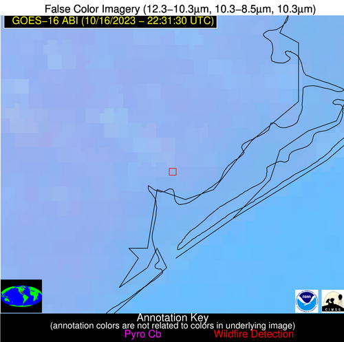
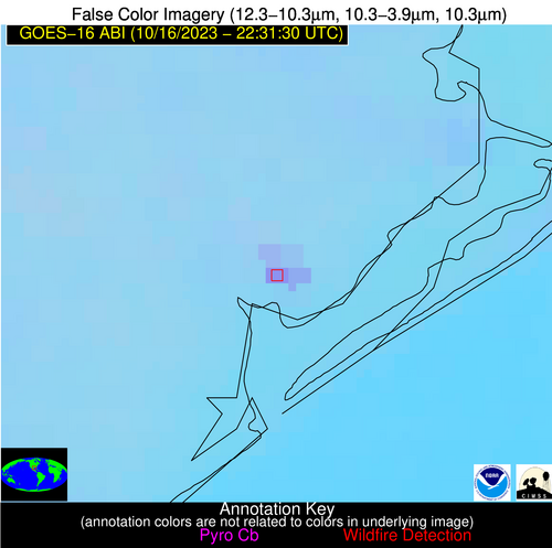
| Map: | |
| Additional Information | |
| Alert Status | New Feature |
| Type of Event | Nominal Risk |
| Event Priority Ranking | 4 |
| Maximum Observed BT (3.9 um) | 300.42 K |
| Observed - Background BT (3.9 um) | 8.67 K |
| BT Anomaly (3.9 um) | 10.12 K |
| Maximum Observed - Clear RTM BT (3.9 um) | 12.04 K |
| Maximum Observed BTD (3.9-10/11/12 um) | 11.38 K |
| Observed - Background BTD (3.9-10/11/12 um) | 8.88 K |
| BTD Anomaly (3.9-10/11/12 um) | 29.77 K |
| Similar Pixel Count | 2 |
| BT Time Tendency (3.9 um) | 2.70 K |
| Image Interval | 5.00 minutes |
| Fraction of Surrounding LWIR Pixels that are Colder | 0.49 |
| Fraction of Surrounding Red Channel Pixels that are Brighter | 0.04 |
| Maximum Radiative Power | 21.83 MW |
| Maximum Radiative Power Uncertainty | 0.00 MW |
| Total Radiative Power Uncertainty | 0.00 MW |
| Mean Viewing Angle | 40.70° |
| Mean Solar Zenith Angle | 74.20° |
| Mean Glint Angle | 67.20° |
| Water Fraction | 0.00 |
| Total Pixel Area | 11.70 km2 |
| Latest Satellite Imagery: | |
| View all event imagery » | |
