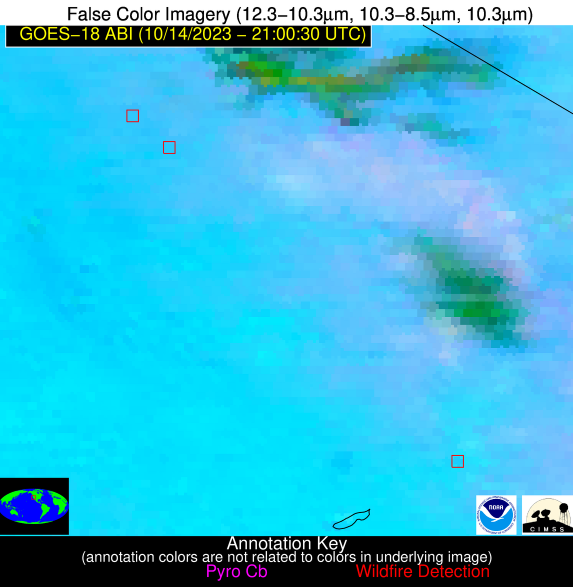
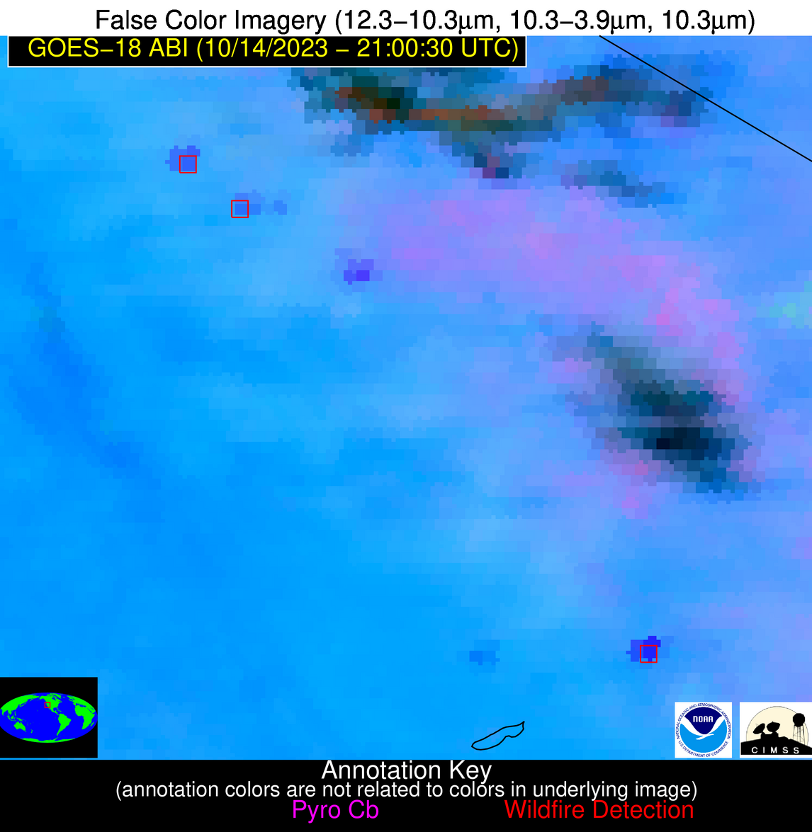
Wildfire Alert Report
| Date: | 2023-10-14 |
|---|---|
| Time: | 21:00:27 |
| Production Date and Time: | 2023-10-14 21:01:03 UTC |
| Primary Instrument: | GOES-18 ABI |
| Wmo Spacecraft Id: | 665 |
| Location/orbit: | GEO |
| L1 File: | OR_ABI-L1b-RadM1-M6C14_G18_s20232872100278_e20232872100335_c20232872100378.nc |
| L1 File(s) - Temporal | NONE |
| Number Of Thermal Anomaly Alerts: | 3 |
Possible Wildfire
| Basic Information | |
|---|---|
| State/Province(s) | CA |
| Country/Countries | USA |
| County/Locality(s) | Calaveras County, CA |
| NWS WFO | Sacramento CA |
| Identification Method | Enhanced Contextual (Clear) |
| Mean Object Date/Time | 2023-10-14 21:00:32UTC |
| Radiative Center (Lat, Lon): | 38.320°, -120.240° |
| Nearby Counties (meeting alert criteria): |
|
| Total Radiative Power Anomaly | n/a |
| Total Radiative Power | 134.19 MW |
| Map: | |
| Additional Information | |
| Alert Status | New Feature |
| Type of Event | Nominal Risk |
| Event Priority Ranking | 4 |
| Maximum Observed BT (3.9 um) | 310.63 K |
| Observed - Background BT (3.9 um) | 9.67 K |
| BT Anomaly (3.9 um) | 4.94 K |
| Maximum Observed - Clear RTM BT (3.9 um) | 20.39 K |
| Maximum Observed BTD (3.9-10/11/12 um) | 20.11 K |
| Observed - Background BTD (3.9-10/11/12 um) | 9.81 K |
| BTD Anomaly (3.9-10/11/12 um) | 8.24 K |
| Similar Pixel Count | 4 |
| BT Time Tendency (3.9 um) | -999.00 K |
| Image Interval | -999.00 minutes |
| Fraction of Surrounding LWIR Pixels that are Colder | 0.49 |
| Fraction of Surrounding Red Channel Pixels that are Brighter | 1.00 |
| Maximum Radiative Power | 39.92 MW |
| Maximum Radiative Power Uncertainty | 0.00 MW |
| Total Radiative Power Uncertainty | 0.00 MW |
| Mean Viewing Angle | 48.00° |
| Mean Solar Zenith Angle | 49.40° |
| Mean Glint Angle | 97.40° |
| Water Fraction | 0.00 |
| Total Pixel Area | 27.30 km2 |
| Latest Satellite Imagery: | |
| View all event imagery » | |
Possible Wildfire
| Basic Information | |
|---|---|
| State/Province(s) | CA |
| Country/Countries | USA |
| County/Locality(s) | Tuolumne County, CA |
| NWS WFO | Sacramento CA |
| Identification Method | Enhanced Contextual (Clear) |
| Mean Object Date/Time | 2023-10-14 21:00:32UTC |
| Radiative Center (Lat, Lon): | 38.220°, -120.140° |
| Nearby Counties (meeting alert criteria): |
|
| Total Radiative Power Anomaly | n/a |
| Total Radiative Power | 54.45 MW |
| Map: | |
| Additional Information | |
| Alert Status | New Feature |
| Type of Event | Nominal Risk, Known Incident: QUARRY (LOW, tdiff=0.86161 days, PERIMETER) |
| Event Priority Ranking | 4 |
| Maximum Observed BT (3.9 um) | 309.93 K |
| Observed - Background BT (3.9 um) | 8.64 K |
| BT Anomaly (3.9 um) | 4.52 K |
| Maximum Observed - Clear RTM BT (3.9 um) | 19.84 K |
| Maximum Observed BTD (3.9-10/11/12 um) | 18.35 K |
| Observed - Background BTD (3.9-10/11/12 um) | 8.20 K |
| BTD Anomaly (3.9-10/11/12 um) | 4.92 K |
| Similar Pixel Count | 5 |
| BT Time Tendency (3.9 um) | -999.00 K |
| Image Interval | -999.00 minutes |
| Fraction of Surrounding LWIR Pixels that are Colder | 0.70 |
| Fraction of Surrounding Red Channel Pixels that are Brighter | 1.00 |
| Maximum Radiative Power | 31.08 MW |
| Maximum Radiative Power Uncertainty | 0.00 MW |
| Total Radiative Power Uncertainty | 0.00 MW |
| Mean Viewing Angle | 47.90° |
| Mean Solar Zenith Angle | 49.30° |
| Mean Glint Angle | 97.20° |
| Water Fraction | 0.00 |
| Total Pixel Area | 13.60 km2 |
| Latest Satellite Imagery: | |
| View all event imagery » | |
Possible Wildfire
| Basic Information | |
|---|---|
| State/Province(s) | CA |
| Country/Countries | USA |
| County/Locality(s) | Madera County, CA |
| NWS WFO | Hanford CA |
| Identification Method | Enhanced Contextual (Cloud) |
| Mean Object Date/Time | 2023-10-14 21:00:32UTC |
| Radiative Center (Lat, Lon): | 37.210°, -119.360° |
| Nearby Counties (meeting alert criteria): |
|
| Total Radiative Power Anomaly | n/a |
| Total Radiative Power | 340.64 MW |
| Map: | |
| Additional Information | |
| Alert Status | New Feature |
| Type of Event | Nominal Risk |
| Event Priority Ranking | 4 |
| Maximum Observed BT (3.9 um) | 330.34 K |
| Observed - Background BT (3.9 um) | 18.20 K |
| BT Anomaly (3.9 um) | 14.69 K |
| Maximum Observed - Clear RTM BT (3.9 um) | 36.50 K |
| Maximum Observed BTD (3.9-10/11/12 um) | 28.90 K |
| Observed - Background BTD (3.9-10/11/12 um) | 17.25 K |
| BTD Anomaly (3.9-10/11/12 um) | 35.23 K |
| Similar Pixel Count | 0 |
| BT Time Tendency (3.9 um) | -999.00 K |
| Image Interval | -999.00 minutes |
| Fraction of Surrounding LWIR Pixels that are Colder | 0.94 |
| Fraction of Surrounding Red Channel Pixels that are Brighter | 0.95 |
| Maximum Radiative Power | 108.41 MW |
| Maximum Radiative Power Uncertainty | 0.00 MW |
| Total Radiative Power Uncertainty | 0.00 MW |
| Mean Viewing Angle | 47.20° |
| Mean Solar Zenith Angle | 48.70° |
| Mean Glint Angle | 95.90° |
| Water Fraction | 0.00 |
| Total Pixel Area | 26.80 km2 |
| Latest Satellite Imagery: | |
| View all event imagery » | |


