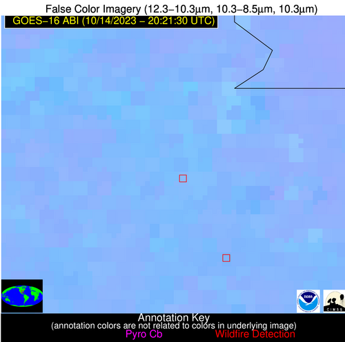
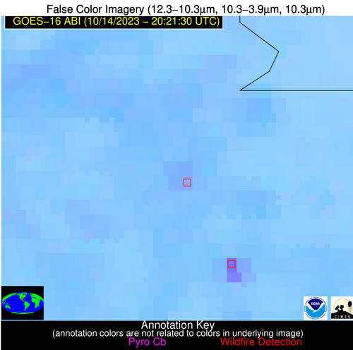
Wildfire Alert Report
| Date: | 2023-10-14 |
|---|---|
| Time: | 20:21:17 |
| Production Date and Time: | 2023-10-14 20:25:57 UTC |
| Primary Instrument: | GOES-16 ABI |
| Wmo Spacecraft Id: | 152 |
| Location/orbit: | GEO |
| L1 File: | OR_ABI-L1b-RadC-M6C14_G16_s20232872021170_e20232872023543_c20232872024013.nc |
| L1 File(s) - Temporal | OR_ABI-L1b-RadC-M6C14_G16_s20232872016170_e20232872018543_c20232872019026.nc |
| Number Of Thermal Anomaly Alerts: | 3 |
Possible Wildfire
| Basic Information | |
|---|---|
| State/Province(s) | CA |
| Country/Countries | USA |
| County/Locality(s) | Madera County, CA |
| NWS WFO | Hanford CA |
| Identification Method | Enhanced Contextual (Clear) |
| Mean Object Date/Time | 2023-10-14 20:22:18UTC |
| Radiative Center (Lat, Lon): | 37.210000°, -119.350000° |
| Nearby Counties (meeting alert criteria): |
|
| Total Radiative Power Anomaly | n/a |
| Total Radiative Power | 27.46 MW |
| Map: | |
| Additional Information | |
| Alert Status | New Feature |
| Type of Event | Nominal Risk |
| Event Priority Ranking | 4 |
| Maximum Observed BT (3.9 um) | 308.83 K |
| Observed - Background BT (3.9 um) | 6.27 K |
| BT Anomaly (3.9 um) | 4.64 K |
| Maximum Observed - Clear RTM BT (3.9 um) | 15.99 K |
| Maximum Observed BTD (3.9-10/11/12 um) | 14.20 K |
| Observed - Background BTD (3.9-10/11/12 um) | 5.35 K |
| BTD Anomaly (3.9-10/11/12 um) | 11.37 K |
| Similar Pixel Count | 13 |
| BT Time Tendency (3.9 um) | 4.10 K |
| Image Interval | 5.00 minutes |
| Fraction of Surrounding LWIR Pixels that are Colder | 0.94 |
| Fraction of Surrounding Red Channel Pixels that are Brighter | 1.00 |
| Maximum Radiative Power | 27.46 MW |
| Maximum Radiative Power Uncertainty | 0.00 MW |
| Total Radiative Power Uncertainty | 0.00 MW |
| Mean Viewing Angle | 63.30° |
| Mean Solar Zenith Angle | 46.10° |
| Mean Glint Angle | 84.00° |
| Water Fraction | 0.00 |
| Total Pixel Area | 13.80 km2 |
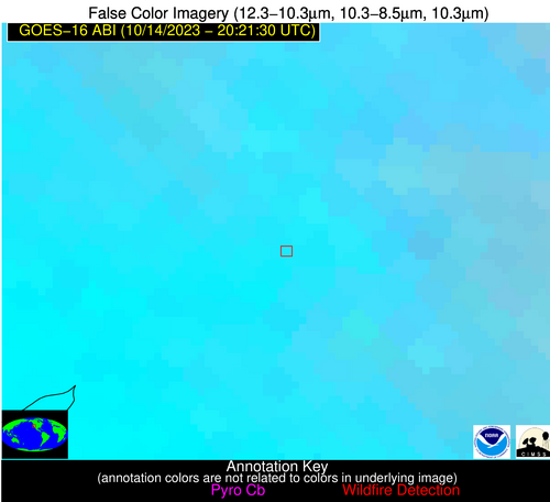
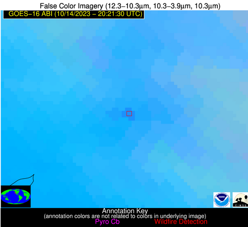
| Latest Satellite Imagery: | |
| View all event imagery » | |
Possible Wildfire
| Basic Information | |
|---|---|
| State/Province(s) | AR |
| Country/Countries | USA |
| County/Locality(s) | Arkansas County, AR |
| NWS WFO | Little Rock AR |
| Identification Method | Enhanced Contextual (Clear) |
| Mean Object Date/Time | 2023-10-14 20:22:21UTC |
| Radiative Center (Lat, Lon): | 34.520000°, -91.510000° |
| Nearby Counties (meeting alert criteria): |
|
| Total Radiative Power Anomaly | n/a |
| Total Radiative Power | 41.45 MW |
| Map: | |
| Additional Information | |
| Alert Status | New Feature |
| Type of Event | Nominal Risk |
| Event Priority Ranking | 4 |
| Maximum Observed BT (3.9 um) | 310.33 K |
| Observed - Background BT (3.9 um) | 12.63 K |
| BT Anomaly (3.9 um) | 8.07 K |
| Maximum Observed - Clear RTM BT (3.9 um) | 18.62 K |
| Maximum Observed BTD (3.9-10/11/12 um) | 20.45 K |
| Observed - Background BTD (3.9-10/11/12 um) | 12.29 K |
| BTD Anomaly (3.9-10/11/12 um) | 11.12 K |
| Similar Pixel Count | 1 |
| BT Time Tendency (3.9 um) | 9.00 K |
| Image Interval | 5.00 minutes |
| Fraction of Surrounding LWIR Pixels that are Colder | 0.63 |
| Fraction of Surrounding Red Channel Pixels that are Brighter | 0.19 |
| Maximum Radiative Power | 41.45 MW |
| Maximum Radiative Power Uncertainty | 0.00 MW |
| Total Radiative Power Uncertainty | 0.00 MW |
| Mean Viewing Angle | 43.90° |
| Mean Solar Zenith Angle | 55.30° |
| Mean Glint Angle | 75.20° |
| Water Fraction | 0.00 |
| Total Pixel Area | 6.20 km2 |
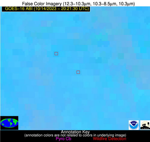
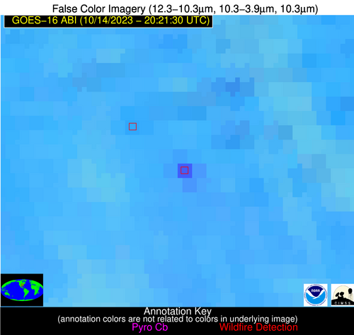
| Latest Satellite Imagery: | |
| View all event imagery » | |
Possible Wildfire
| Basic Information | |
|---|---|
| State/Province(s) | LA |
| Country/Countries | USA |
| County/Locality(s) | Pointe Coupee Parish, LA |
| NWS WFO | New Orleans LA |
| Identification Method | Enhanced Contextual (Clear) |
| Mean Object Date/Time | 2023-10-14 20:22:20UTC |
| Radiative Center (Lat, Lon): | 30.840000°, -91.720000° |
| Nearby Counties (meeting alert criteria): |
|
| Total Radiative Power Anomaly | n/a |
| Total Radiative Power | 18.96 MW |
| Map: | |
| Additional Information | |
| Alert Status | New Feature |
| Type of Event | Nominal Risk |
| Event Priority Ranking | 4 |
| Maximum Observed BT (3.9 um) | 304.79 K |
| Observed - Background BT (3.9 um) | 4.22 K |
| BT Anomaly (3.9 um) | 1.79 K |
| Maximum Observed - Clear RTM BT (3.9 um) | 9.88 K |
| Maximum Observed BTD (3.9-10/11/12 um) | 8.01 K |
| Observed - Background BTD (3.9-10/11/12 um) | 3.50 K |
| BTD Anomaly (3.9-10/11/12 um) | 2.41 K |
| Similar Pixel Count | 10 |
| BT Time Tendency (3.9 um) | 3.10 K |
| Image Interval | 5.00 minutes |
| Fraction of Surrounding LWIR Pixels that are Colder | 0.44 |
| Fraction of Surrounding Red Channel Pixels that are Brighter | 1.00 |
| Maximum Radiative Power | 11.00 MW |
| Maximum Radiative Power Uncertainty | 0.00 MW |
| Total Radiative Power Uncertainty | 0.00 MW |
| Mean Viewing Angle | 40.40° |
| Mean Solar Zenith Angle | 52.70° |
| Mean Glint Angle | 68.80° |
| Water Fraction | 0.00 |
| Total Pixel Area | 11.60 km2 |
| Latest Satellite Imagery: | |
| View all event imagery » | |
