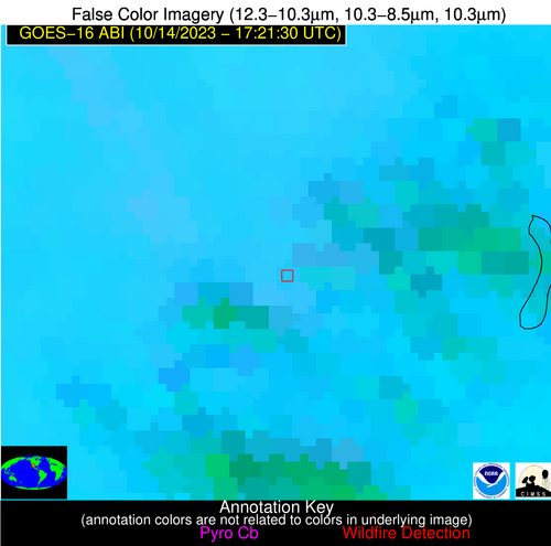
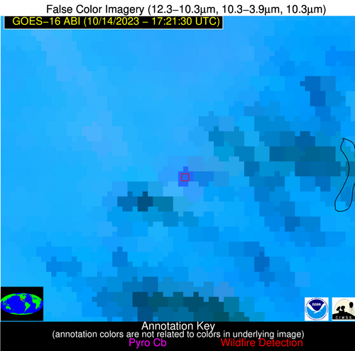
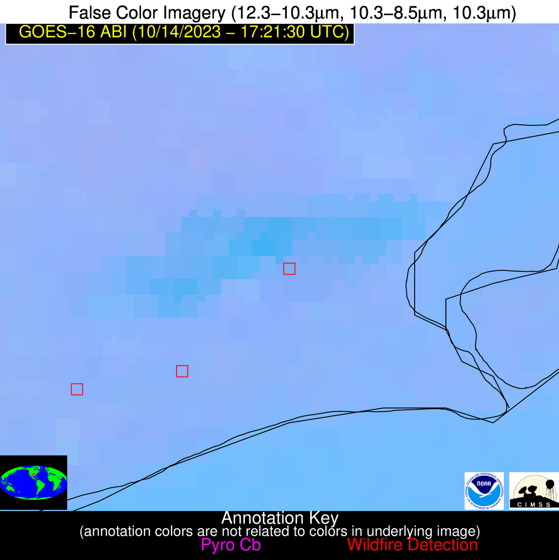
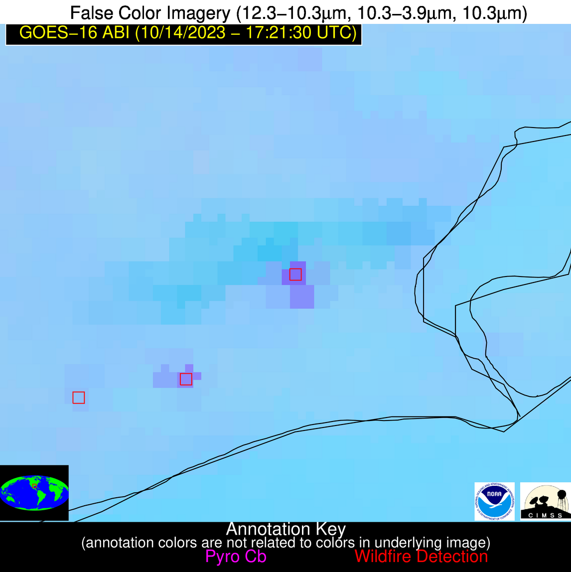
Wildfire Alert Report
| Date: | 2023-10-14 |
|---|---|
| Time: | 17:21:17 |
| Production Date and Time: | 2023-10-14 17:25:48 UTC |
| Primary Instrument: | GOES-16 ABI |
| Wmo Spacecraft Id: | 152 |
| Location/orbit: | GEO |
| L1 File: | OR_ABI-L1b-RadC-M6C14_G16_s20232871721170_e20232871723543_c20232871724028.nc |
| L1 File(s) - Temporal | OR_ABI-L1b-RadC-M6C14_G16_s20232871716170_e20232871718543_c20232871719005.nc |
| Number Of Thermal Anomaly Alerts: | 5 |
Possible Wildfire
| Basic Information | |
|---|---|
| State/Province(s) | AR |
| Country/Countries | USA |
| County/Locality(s) | Lawrence County, AR |
| NWS WFO | Little Rock AR |
| Identification Method | Enhanced Contextual (Cloud) |
| Mean Object Date/Time | 2023-10-14 17:22:21UTC |
| Radiative Center (Lat, Lon): | 35.920000°, -91.070000° |
| Nearby Counties (meeting alert criteria): |
|
| Total Radiative Power Anomaly | n/a |
| Total Radiative Power | 590.37 MW |
| Map: | |
| Additional Information | |
| Alert Status | New Feature |
| Type of Event | Nominal Risk |
| Event Priority Ranking | 4 |
| Maximum Observed BT (3.9 um) | 317.60 K |
| Observed - Background BT (3.9 um) | 23.62 K |
| BT Anomaly (3.9 um) | 28.81 K |
| Maximum Observed - Clear RTM BT (3.9 um) | 27.64 K |
| Maximum Observed BTD (3.9-10/11/12 um) | 37.26 K |
| Observed - Background BTD (3.9-10/11/12 um) | 23.11 K |
| BTD Anomaly (3.9-10/11/12 um) | 17.15 K |
| Similar Pixel Count | 0 |
| BT Time Tendency (3.9 um) | 23.50 K |
| Image Interval | 5.00 minutes |
| Fraction of Surrounding LWIR Pixels that are Colder | 0.50 |
| Fraction of Surrounding Red Channel Pixels that are Brighter | 0.52 |
| Maximum Radiative Power | 231.02 MW |
| Maximum Radiative Power Uncertainty | 0.00 MW |
| Total Radiative Power Uncertainty | 0.00 MW |
| Mean Viewing Angle | 45.20° |
| Mean Solar Zenith Angle | 44.40° |
| Mean Glint Angle | 88.60° |
| Water Fraction | 0.00 |
| Total Pixel Area | 25.50 km2 |
| Latest Satellite Imagery: | |
| View all event imagery » | |
Possible Wildfire
| Basic Information | |
|---|---|
| State/Province(s) | MS |
| Country/Countries | USA |
| County/Locality(s) | Tunica County, MS |
| NWS WFO | Memphis TN |
| Identification Method | Enhanced Contextual (Clear) |
| Mean Object Date/Time | 2023-10-14 17:22:21UTC |
| Radiative Center (Lat, Lon): | 34.780000°, -90.250000° |
| Nearby Counties (meeting alert criteria): |
|
| Total Radiative Power Anomaly | n/a |
| Total Radiative Power | 20.07 MW |
| Map: | |
| Additional Information | |
| Alert Status | New Feature |
| Type of Event | Nominal Risk |
| Event Priority Ranking | 4 |
| Maximum Observed BT (3.9 um) | 299.96 K |
| Observed - Background BT (3.9 um) | 6.28 K |
| BT Anomaly (3.9 um) | 3.34 K |
| Maximum Observed - Clear RTM BT (3.9 um) | 6.75 K |
| Maximum Observed BTD (3.9-10/11/12 um) | 11.21 K |
| Observed - Background BTD (3.9-10/11/12 um) | 5.39 K |
| BTD Anomaly (3.9-10/11/12 um) | 4.50 K |
| Similar Pixel Count | 5 |
| BT Time Tendency (3.9 um) | 4.40 K |
| Image Interval | 5.00 minutes |
| Fraction of Surrounding LWIR Pixels that are Colder | 0.88 |
| Fraction of Surrounding Red Channel Pixels that are Brighter | 0.98 |
| Maximum Radiative Power | 11.01 MW |
| Maximum Radiative Power Uncertainty | 0.00 MW |
| Total Radiative Power Uncertainty | 0.00 MW |
| Mean Viewing Angle | 43.70° |
| Mean Solar Zenith Angle | 43.20° |
| Mean Glint Angle | 85.80° |
| Water Fraction | 0.00 |
| Total Pixel Area | 12.30 km2 |
| Latest Satellite Imagery: | |
| View all event imagery » | |
Possible Wildfire
| Basic Information | |
|---|---|
| State/Province(s) | TX |
| Country/Countries | USA |
| County/Locality(s) | Scurry County, TX |
| NWS WFO | Midland/Odessa TX |
| Identification Method | Enhanced Contextual (Clear) |
| Mean Object Date/Time | 2023-10-14 17:22:19UTC |
| Radiative Center (Lat, Lon): | 32.820000°, -100.810000° |
| Nearby Counties (meeting alert criteria): |
|
| Total Radiative Power Anomaly | n/a |
| Total Radiative Power | 127.05 MW |
| Map: | |
| Additional Information | |
| Alert Status | New Feature |
| Type of Event | Nominal Risk |
| Event Priority Ranking | 4 |
| Maximum Observed BT (3.9 um) | 302.08 K |
| Observed - Background BT (3.9 um) | 8.28 K |
| BT Anomaly (3.9 um) | 13.23 K |
| Maximum Observed - Clear RTM BT (3.9 um) | 5.60 K |
| Maximum Observed BTD (3.9-10/11/12 um) | 15.38 K |
| Observed - Background BTD (3.9-10/11/12 um) | 8.29 K |
| BTD Anomaly (3.9-10/11/12 um) | 15.52 K |
| Similar Pixel Count | 3 |
| BT Time Tendency (3.9 um) | 3.20 K |
| Image Interval | 5.00 minutes |
| Fraction of Surrounding LWIR Pixels that are Colder | 0.46 |
| Fraction of Surrounding Red Channel Pixels that are Brighter | 1.00 |
| Maximum Radiative Power | 79.15 MW |
| Maximum Radiative Power Uncertainty | 0.00 MW |
| Total Radiative Power Uncertainty | 0.00 MW |
| Mean Viewing Angle | 47.30° |
| Mean Solar Zenith Angle | 43.90° |
| Mean Glint Angle | 89.90° |
| Water Fraction | 0.00 |
| Total Pixel Area | 13.90 km2 |
| Latest Satellite Imagery: | |
| View all event imagery » | |
Possible Wildfire
| Basic Information | |
|---|---|
| State/Province(s) | Unknown |
| Country/Countries | Mexico |
| County/Locality(s) | Mexico |
| NWS WFO | N/A |
| Identification Method | Enhanced Contextual (Clear) |
| Mean Object Date/Time | 2023-10-14 17:22:48UTC |
| Radiative Center (Lat, Lon): | 30.500000°, -109.630000° |
| Nearby Counties (meeting alert criteria): |
|
| Total Radiative Power Anomaly | n/a |
| Total Radiative Power | 82.49 MW |
| Map: | |
| Additional Information | |
| Alert Status | New Feature |
| Type of Event | Ferrous-metal |
| Event Priority Ranking | 5 |
| Maximum Observed BT (3.9 um) | 309.42 K |
| Observed - Background BT (3.9 um) | 7.89 K |
| BT Anomaly (3.9 um) | 7.73 K |
| Maximum Observed - Clear RTM BT (3.9 um) | 4.49 K |
| Maximum Observed BTD (3.9-10/11/12 um) | 19.57 K |
| Observed - Background BTD (3.9-10/11/12 um) | 8.29 K |
| BTD Anomaly (3.9-10/11/12 um) | 6.12 K |
| Similar Pixel Count | 5 |
| BT Time Tendency (3.9 um) | 11.70 K |
| Image Interval | 5.00 minutes |
| Fraction of Surrounding LWIR Pixels that are Colder | 0.47 |
| Fraction of Surrounding Red Channel Pixels that are Brighter | 1.00 |
| Maximum Radiative Power | 82.49 MW |
| Maximum Radiative Power Uncertainty | 0.00 MW |
| Total Radiative Power Uncertainty | 0.00 MW |
| Mean Viewing Angle | 51.80° |
| Mean Solar Zenith Angle | 45.80° |
| Mean Glint Angle | 96.20° |
| Water Fraction | 0.00 |
| Total Pixel Area | 8.10 km2 |
| Latest Satellite Imagery: | |
| View all event imagery » | |
Possible Wildfire
| Basic Information | |
|---|---|
| State/Province(s) | TX |
| Country/Countries | USA |
| County/Locality(s) | Jefferson County, TX |
| NWS WFO | Lake Charles LA |
| Identification Method | Enhanced Contextual (Clear) |
| Mean Object Date/Time | 2023-10-14 17:22:50UTC |
| Radiative Center (Lat, Lon): | 29.830000°, -94.080000° |
| Nearby Counties (meeting alert criteria): |
|
| Total Radiative Power Anomaly | n/a |
| Total Radiative Power | 122.78 MW |
| Map: | |
| Additional Information | |
| Alert Status | New Feature |
| Type of Event | Nominal Risk |
| Event Priority Ranking | 4 |
| Maximum Observed BT (3.9 um) | 306.91 K |
| Observed - Background BT (3.9 um) | 12.93 K |
| BT Anomaly (3.9 um) | 11.44 K |
| Maximum Observed - Clear RTM BT (3.9 um) | 9.46 K |
| Maximum Observed BTD (3.9-10/11/12 um) | 16.73 K |
| Observed - Background BTD (3.9-10/11/12 um) | 13.36 K |
| BTD Anomaly (3.9-10/11/12 um) | 12.10 K |
| Similar Pixel Count | 2 |
| BT Time Tendency (3.9 um) | 8.00 K |
| Image Interval | 5.00 minutes |
| Fraction of Surrounding LWIR Pixels that are Colder | 0.18 |
| Fraction of Surrounding Red Channel Pixels that are Brighter | 1.00 |
| Maximum Radiative Power | 81.17 MW |
| Maximum Radiative Power Uncertainty | 0.00 MW |
| Total Radiative Power Uncertainty | 0.00 MW |
| Mean Viewing Angle | 40.60° |
| Mean Solar Zenith Angle | 39.10° |
| Mean Glint Angle | 78.50° |
| Water Fraction | 0.00 |
| Total Pixel Area | 11.70 km2 |
| Latest Satellite Imagery: | |
| View all event imagery » | |
