Wildfire Alert Report
| Date: | 2023-10-09 |
|---|---|
| Time: | 17:36:18 |
| Production Date and Time: | 2023-10-09 17:40:52 UTC |
| Primary Instrument: | GOES-18 ABI |
| Wmo Spacecraft Id: | 665 |
| Location/orbit: | GEO |
| L1 File: | OR_ABI-L1b-RadC-M6C14_G18_s20232821736181_e20232821738554_c20232821739034.nc |
| L1 File(s) - Temporal | OR_ABI-L1b-RadC-M6C14_G18_s20232821731181_e20232821733554_c20232821734045.nc |
| Number Of Thermal Anomaly Alerts: | 4 |
Possible Wildfire
| Basic Information | |
|---|---|
| State/Province(s) | MT |
| Country/Countries | USA |
| County/Locality(s) | Sweet Grass County, MT |
| NWS WFO | Billings MT |
| Identification Method | Enhanced Contextual (Clear) |
| Mean Object Date/Time | 2023-10-09 17:36:25UTC |
| Radiative Center (Lat, Lon): | 45.610000°, -109.850000° |
| Nearby Counties (meeting alert criteria): |
|
| Total Radiative Power Anomaly | n/a |
| Total Radiative Power | 16.52 MW |
| Map: | |
| Additional Information | |
| Alert Status | New Feature |
| Type of Event | Nominal Risk |
| Event Priority Ranking | 4 |
| Maximum Observed BT (3.9 um) | 304.04 K |
| Observed - Background BT (3.9 um) | 5.40 K |
| BT Anomaly (3.9 um) | 3.94 K |
| Maximum Observed - Clear RTM BT (3.9 um) | 10.97 K |
| Maximum Observed BTD (3.9-10/11/12 um) | 10.24 K |
| Observed - Background BTD (3.9-10/11/12 um) | 4.06 K |
| BTD Anomaly (3.9-10/11/12 um) | 5.62 K |
| Similar Pixel Count | 11 |
| BT Time Tendency (3.9 um) | 2.20 K |
| Image Interval | 5.00 minutes |
| Fraction of Surrounding LWIR Pixels that are Colder | 0.94 |
| Fraction of Surrounding Red Channel Pixels that are Brighter | 0.93 |
| Maximum Radiative Power | 16.52 MW |
| Maximum Radiative Power Uncertainty | 0.00 MW |
| Total Radiative Power Uncertainty | 0.00 MW |
| Mean Viewing Angle | 59.30° |
| Mean Solar Zenith Angle | 55.50° |
| Mean Glint Angle | 91.70° |
| Water Fraction | 0.00 |
| Total Pixel Area | 10.20 km2 |
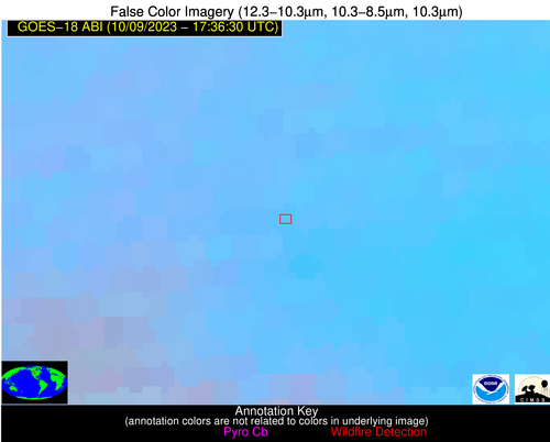
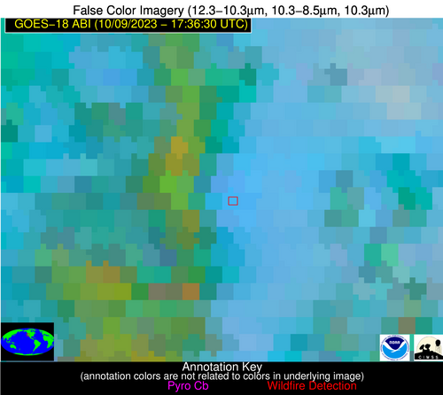
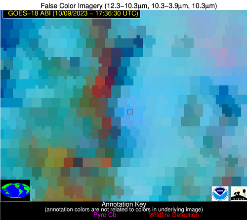
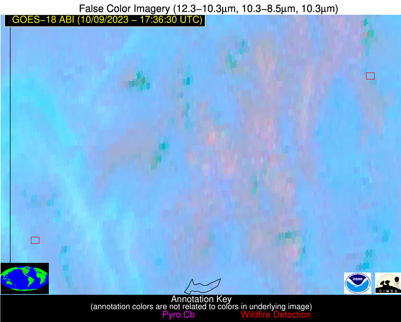
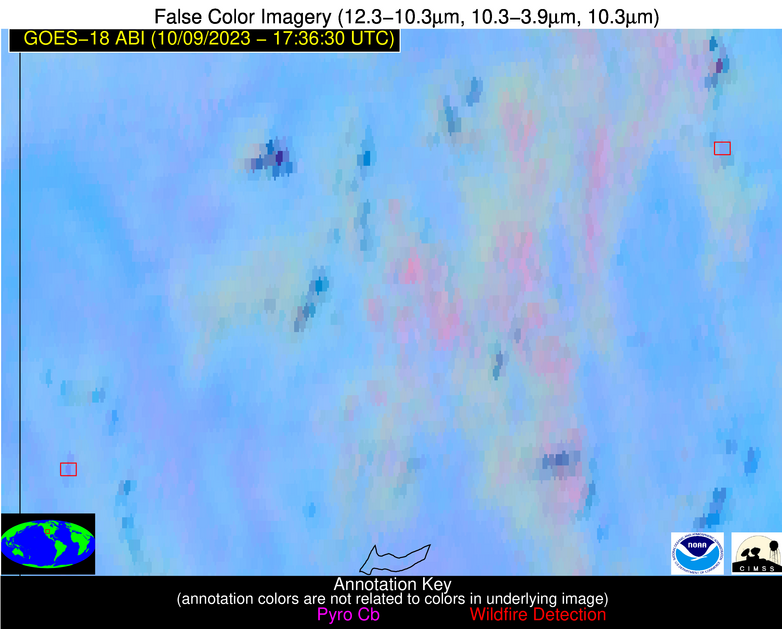
| Latest Satellite Imagery: | |
| View all event imagery » | |
Possible Wildfire
| Basic Information | |
|---|---|
| State/Province(s) | CA |
| Country/Countries | USA |
| County/Locality(s) | El Dorado County, CA |
| NWS WFO | Sacramento CA |
| Identification Method | Enhanced Contextual (Clear) |
| Mean Object Date/Time | 2023-10-09 17:36:54UTC |
| Radiative Center (Lat, Lon): | 38.720000°, -120.410000° |
| Nearby Counties (meeting alert criteria): |
|
| Total Radiative Power Anomaly | n/a |
| Total Radiative Power | 12.65 MW |
| Map: | |
| Additional Information | |
| Alert Status | New Feature |
| Type of Event | Nominal Risk |
| Event Priority Ranking | 4 |
| Maximum Observed BT (3.9 um) | 297.22 K |
| Observed - Background BT (3.9 um) | 4.94 K |
| BT Anomaly (3.9 um) | 10.05 K |
| Maximum Observed - Clear RTM BT (3.9 um) | 9.09 K |
| Maximum Observed BTD (3.9-10/11/12 um) | 17.96 K |
| Observed - Background BTD (3.9-10/11/12 um) | 12.19 K |
| BTD Anomaly (3.9-10/11/12 um) | 46.49 K |
| Similar Pixel Count | 8 |
| BT Time Tendency (3.9 um) | 2.30 K |
| Image Interval | 5.00 minutes |
| Fraction of Surrounding LWIR Pixels that are Colder | 1.00 |
| Fraction of Surrounding Red Channel Pixels that are Brighter | 0.81 |
| Maximum Radiative Power | 12.65 MW |
| Maximum Radiative Power Uncertainty | 0.00 MW |
| Total Radiative Power Uncertainty | 0.00 MW |
| Mean Viewing Angle | 48.30° |
| Mean Solar Zenith Angle | 54.30° |
| Mean Glint Angle | 81.10° |
| Water Fraction | 0.00 |
| Total Pixel Area | 6.90 km2 |
| Latest Satellite Imagery: | |
| View all event imagery » | |
Possible Wildfire
| Basic Information | |
|---|---|
| State/Province(s) | CO |
| Country/Countries | USA |
| County/Locality(s) | Park County, CO |
| NWS WFO | Denver CO |
| Identification Method | Enhanced Contextual (Clear) |
| Mean Object Date/Time | 2023-10-09 17:36:55UTC |
| Radiative Center (Lat, Lon): | 39.410000°, -105.510000° |
| Nearby Counties (meeting alert criteria): |
|
| Total Radiative Power Anomaly | n/a |
| Total Radiative Power | 13.75 MW |
| Map: | |
| Additional Information | |
| Alert Status | New Feature |
| Type of Event | Nominal Risk, Known Incident: PAYNE GULCH RX (HIGH, tdiff=0.15542 days, POINT) |
| Event Priority Ranking | 4 |
| Maximum Observed BT (3.9 um) | 298.59 K |
| Observed - Background BT (3.9 um) | 3.71 K |
| BT Anomaly (3.9 um) | 2.28 K |
| Maximum Observed - Clear RTM BT (3.9 um) | 4.04 K |
| Maximum Observed BTD (3.9-10/11/12 um) | 9.04 K |
| Observed - Background BTD (3.9-10/11/12 um) | 3.83 K |
| BTD Anomaly (3.9-10/11/12 um) | 5.50 K |
| Similar Pixel Count | 8 |
| BT Time Tendency (3.9 um) | 1.40 K |
| Image Interval | 5.00 minutes |
| Fraction of Surrounding LWIR Pixels that are Colder | 0.51 |
| Fraction of Surrounding Red Channel Pixels that are Brighter | 1.00 |
| Maximum Radiative Power | 13.75 MW |
| Maximum Radiative Power Uncertainty | 0.00 MW |
| Total Radiative Power Uncertainty | 0.00 MW |
| Mean Viewing Angle | 56.30° |
| Mean Solar Zenith Angle | 48.50° |
| Mean Glint Angle | 82.10° |
| Water Fraction | 0.00 |
| Total Pixel Area | 9.40 km2 |
| Latest Satellite Imagery: | |
| View all event imagery » | |
Possible Wildfire
| Basic Information | |
|---|---|
| State/Province(s) | CO |
| Country/Countries | USA |
| County/Locality(s) | Mesa County, CO |
| NWS WFO | Grand Junction CO |
| Identification Method | Enhanced Contextual (Clear) |
| Mean Object Date/Time | 2023-10-09 17:36:55UTC |
| Radiative Center (Lat, Lon): | 38.680000°, -108.810000° |
| Nearby Counties (meeting alert criteria): |
|
| Total Radiative Power Anomaly | n/a |
| Total Radiative Power | 19.90 MW |
| Map: | |
| Additional Information | |
| Alert Status | New Feature |
| Type of Event | Nominal Risk, Known Incident: COW CREEK RX (HIGH, tdiff=6.08029 days, POINT) |
| Event Priority Ranking | 4 |
| Maximum Observed BT (3.9 um) | 305.68 K |
| Observed - Background BT (3.9 um) | 5.83 K |
| BT Anomaly (3.9 um) | 3.18 K |
| Maximum Observed - Clear RTM BT (3.9 um) | 7.67 K |
| Maximum Observed BTD (3.9-10/11/12 um) | 12.17 K |
| Observed - Background BTD (3.9-10/11/12 um) | 5.40 K |
| BTD Anomaly (3.9-10/11/12 um) | 6.27 K |
| Similar Pixel Count | 2 |
| BT Time Tendency (3.9 um) | 5.30 K |
| Image Interval | 5.00 minutes |
| Fraction of Surrounding LWIR Pixels that are Colder | 0.71 |
| Fraction of Surrounding Red Channel Pixels that are Brighter | 1.00 |
| Maximum Radiative Power | 19.90 MW |
| Maximum Radiative Power Uncertainty | 0.00 MW |
| Total Radiative Power Uncertainty | 0.00 MW |
| Mean Viewing Angle | 53.80° |
| Mean Solar Zenith Angle | 49.00° |
| Mean Glint Angle | 80.00° |
| Water Fraction | 0.00 |
| Total Pixel Area | 8.40 km2 |
| Latest Satellite Imagery: | |
| View all event imagery » | |
