Wildfire Alert Report
| Date: | 2023-10-08 |
|---|---|
| Time: | 16:46:17 |
| Production Date and Time: | 2023-10-08 16:50:53 UTC |
| Primary Instrument: | GOES-16 ABI |
| Wmo Spacecraft Id: | 152 |
| Location/orbit: | GEO |
| L1 File: | OR_ABI-L1b-RadC-M6C14_G16_s20232811646173_e20232811648546_c20232811649011.nc |
| L1 File(s) - Temporal | OR_ABI-L1b-RadC-M6C14_G16_s20232811641173_e20232811643546_c20232811644012.nc,OR_ABI-L1b-RadC-M6C14_G16_s20232811631173_e20232811633546_c20232811634030.nc |
| Number Of Thermal Anomaly Alerts: | 2 |
Possible Wildfire
| Basic Information | |
|---|---|
| State/Province(s) | AR |
| Country/Countries | USA |
| County/Locality(s) | Poinsett County, AR |
| NWS WFO | Memphis TN |
| Identification Method | Enhanced Contextual (Cloud) |
| Mean Object Date/Time | 2023-10-08 16:47:21UTC |
| Radiative Center (Lat, Lon): | 35.590000°, -90.920000° |
| Nearby Counties (meeting alert criteria): |
|
| Total Radiative Power Anomaly | n/a |
| Total Radiative Power | 98.32 MW |
| Map: | |
| Additional Information | |
| Alert Status | New Feature |
| Type of Event | Nominal Risk |
| Event Priority Ranking | 4 |
| Maximum Observed BT (3.9 um) | 323.81 K |
| Observed - Background BT (3.9 um) | 15.83 K |
| BT Anomaly (3.9 um) | 13.17 K |
| Maximum Observed - Clear RTM BT (3.9 um) | 32.53 K |
| Maximum Observed BTD (3.9-10/11/12 um) | 28.38 K |
| Observed - Background BTD (3.9-10/11/12 um) | 14.19 K |
| BTD Anomaly (3.9-10/11/12 um) | 18.46 K |
| Similar Pixel Count | 0 |
| BT Time Tendency (3.9 um) | 13.00 K |
| Image Interval | 15.00 minutes |
| Fraction of Surrounding LWIR Pixels that are Colder | 0.98 |
| Fraction of Surrounding Red Channel Pixels that are Brighter | 0.95 |
| Maximum Radiative Power | 69.74 MW |
| Maximum Radiative Power Uncertainty | 0.00 MW |
| Total Radiative Power Uncertainty | 0.00 MW |
| Mean Viewing Angle | 44.80° |
| Mean Solar Zenith Angle | 44.00° |
| Mean Glint Angle | 88.70° |
| Water Fraction | 0.00 |
| Total Pixel Area | 12.60 km2 |
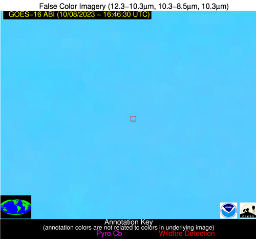
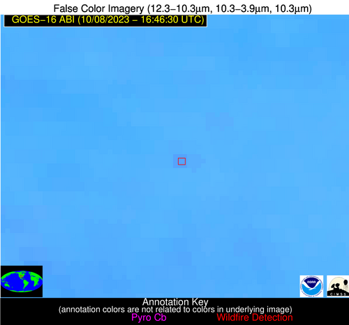
| Latest Satellite Imagery: | |
| View all event imagery » | |
Possible Wildfire
| Basic Information | |
|---|---|
| State/Province(s) | OK |
| Country/Countries | USA |
| County/Locality(s) | Lincoln County, OK |
| NWS WFO | Norman OK |
| Identification Method | Enhanced Contextual (Clear) |
| Mean Object Date/Time | 2023-10-08 16:47:20UTC |
| Radiative Center (Lat, Lon): | 35.560000°, -96.780000° |
| Nearby Counties (meeting alert criteria): |
|
| Total Radiative Power Anomaly | n/a |
| Total Radiative Power | 6.75 MW |
| Map: | |
| Additional Information | |
| Alert Status | New Feature |
| Type of Event | Nominal Risk |
| Event Priority Ranking | 4 |
| Maximum Observed BT (3.9 um) | 303.16 K |
| Observed - Background BT (3.9 um) | 1.96 K |
| BT Anomaly (3.9 um) | 2.13 K |
| Maximum Observed - Clear RTM BT (3.9 um) | 11.09 K |
| Maximum Observed BTD (3.9-10/11/12 um) | 10.30 K |
| Observed - Background BTD (3.9-10/11/12 um) | 2.08 K |
| BTD Anomaly (3.9-10/11/12 um) | 4.94 K |
| Similar Pixel Count | 25 |
| BT Time Tendency (3.9 um) | 1.50 K |
| Image Interval | 15.00 minutes |
| Fraction of Surrounding LWIR Pixels that are Colder | 0.40 |
| Fraction of Surrounding Red Channel Pixels that are Brighter | 1.00 |
| Maximum Radiative Power | 6.75 MW |
| Maximum Radiative Power Uncertainty | 0.00 MW |
| Total Radiative Power Uncertainty | 0.00 MW |
| Mean Viewing Angle | 47.40° |
| Mean Solar Zenith Angle | 46.20° |
| Mean Glint Angle | 93.60° |
| Water Fraction | 0.00 |
| Total Pixel Area | 6.90 km2 |
| Latest Satellite Imagery: | |
| View all event imagery » | |


