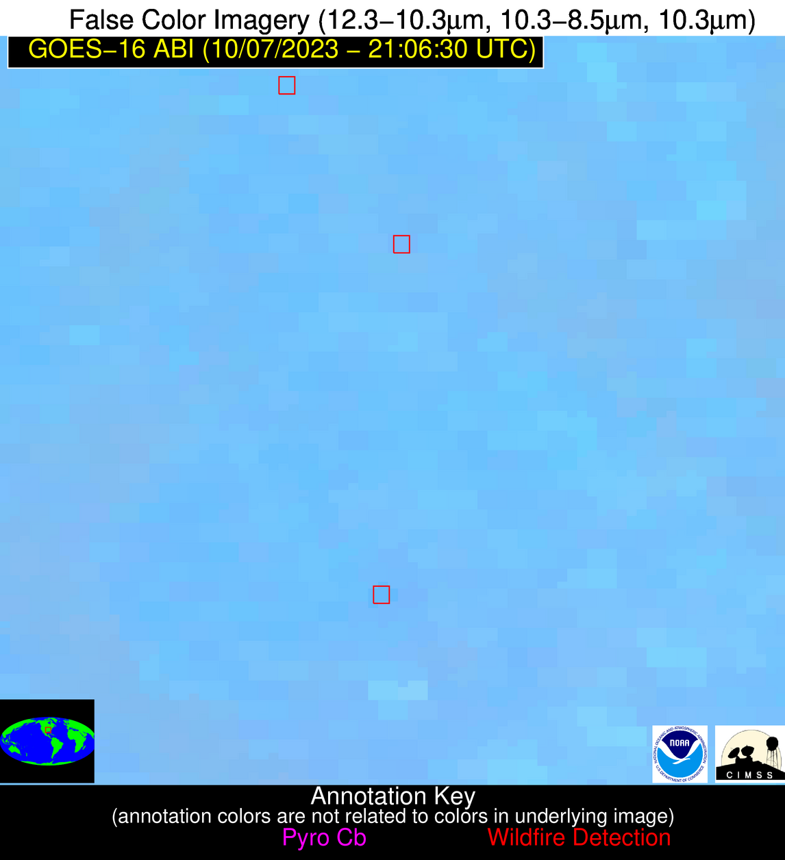
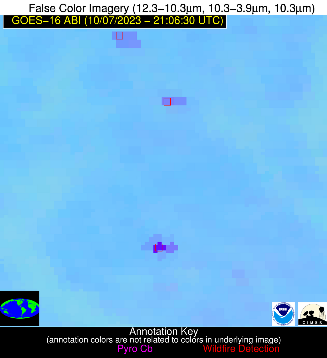
Wildfire Alert Report
| Date: | 2023-10-07 |
|---|---|
| Time: | 21:06:17 |
| Production Date and Time: | 2023-10-07 21:10:52 UTC |
| Primary Instrument: | GOES-16 ABI |
| Wmo Spacecraft Id: | 152 |
| Location/orbit: | GEO |
| L1 File: | OR_ABI-L1b-RadC-M6C14_G16_s20232802106173_e20232802108545_c20232802109024.nc |
| L1 File(s) - Temporal | OR_ABI-L1b-RadC-M6C14_G16_s20232802101173_e20232802103546_c20232802104034.nc |
| Number Of Thermal Anomaly Alerts: | 4 |
Possible Wildfire
| Basic Information | |
|---|---|
| State/Province(s) | WA |
| Country/Countries | USA |
| County/Locality(s) | Walla Walla County, WA |
| NWS WFO | Pendleton OR |
| Identification Method | Enhanced Contextual (Clear) |
| Mean Object Date/Time | 2023-10-07 21:06:19UTC |
| Radiative Center (Lat, Lon): | 46.430000°, -118.480000° |
| Nearby Counties (meeting alert criteria): |
|
| Total Radiative Power Anomaly | n/a |
| Total Radiative Power | 15.86 MW |
| Map: | |
| Additional Information | |
| Alert Status | New Feature |
| Type of Event | Nominal Risk |
| Event Priority Ranking | 4 |
| Maximum Observed BT (3.9 um) | 309.11 K |
| Observed - Background BT (3.9 um) | 3.17 K |
| BT Anomaly (3.9 um) | 3.57 K |
| Maximum Observed - Clear RTM BT (3.9 um) | 15.22 K |
| Maximum Observed BTD (3.9-10/11/12 um) | 13.52 K |
| Observed - Background BTD (3.9-10/11/12 um) | 2.02 K |
| BTD Anomaly (3.9-10/11/12 um) | 3.63 K |
| Similar Pixel Count | 25 |
| BT Time Tendency (3.9 um) | 1.00 K |
| Image Interval | 5.00 minutes |
| Fraction of Surrounding LWIR Pixels that are Colder | 0.98 |
| Fraction of Surrounding Red Channel Pixels that are Brighter | 0.97 |
| Maximum Radiative Power | 15.86 MW |
| Maximum Radiative Power Uncertainty | 0.00 MW |
| Total Radiative Power Uncertainty | 0.00 MW |
| Mean Viewing Angle | 68.40° |
| Mean Solar Zenith Angle | 55.10° |
| Mean Glint Angle | 86.70° |
| Water Fraction | 0.00 |
| Total Pixel Area | 18.70 km2 |
| Latest Satellite Imagery: | |
| View all event imagery » | |
Possible Wildfire
| Basic Information | |
|---|---|
| State/Province(s) | MO |
| Country/Countries | USA |
| County/Locality(s) | Miller County, MO |
| NWS WFO | Springfield MO |
| Identification Method | Enhanced Contextual (Clear) |
| Mean Object Date/Time | 2023-10-07 21:06:51UTC |
| Radiative Center (Lat, Lon): | 38.360000°, -92.460000° |
| Nearby Counties (meeting alert criteria): |
|
| Total Radiative Power Anomaly | n/a |
| Total Radiative Power | 12.00 MW |
| Map: | |
| Additional Information | |
| Alert Status | New Feature |
| Type of Event | Nominal Risk |
| Event Priority Ranking | 4 |
| Maximum Observed BT (3.9 um) | 295.53 K |
| Observed - Background BT (3.9 um) | 4.99 K |
| BT Anomaly (3.9 um) | 5.82 K |
| Maximum Observed - Clear RTM BT (3.9 um) | 11.09 K |
| Maximum Observed BTD (3.9-10/11/12 um) | 8.96 K |
| Observed - Background BTD (3.9-10/11/12 um) | 4.82 K |
| BTD Anomaly (3.9-10/11/12 um) | 11.29 K |
| Similar Pixel Count | 2 |
| BT Time Tendency (3.9 um) | 4.80 K |
| Image Interval | 5.00 minutes |
| Fraction of Surrounding LWIR Pixels that are Colder | 0.58 |
| Fraction of Surrounding Red Channel Pixels that are Brighter | 1.00 |
| Maximum Radiative Power | 12.00 MW |
| Maximum Radiative Power Uncertainty | 0.00 MW |
| Total Radiative Power Uncertainty | 0.00 MW |
| Mean Viewing Angle | 48.20° |
| Mean Solar Zenith Angle | 61.80° |
| Mean Glint Angle | 76.70° |
| Water Fraction | 0.00 |
| Total Pixel Area | 6.90 km2 |
| Latest Satellite Imagery: | |
| View all event imagery » | |
Possible Wildfire
| Basic Information | |
|---|---|
| State/Province(s) | AR |
| Country/Countries | USA |
| County/Locality(s) | Woodruff County, AR |
| NWS WFO | Little Rock AR |
| Identification Method | Enhanced Contextual (Clear) |
| Mean Object Date/Time | 2023-10-07 21:07:21UTC |
| Radiative Center (Lat, Lon): | 35.140000°, -91.060000° |
| Nearby Counties (meeting alert criteria): |
|
| Total Radiative Power Anomaly | n/a |
| Total Radiative Power | 49.53 MW |
| Map: | |
| Additional Information | |
| Alert Status | New Feature |
| Type of Event | Nominal Risk |
| Event Priority Ranking | 4 |
| Maximum Observed BT (3.9 um) | 304.65 K |
| Observed - Background BT (3.9 um) | 9.14 K |
| BT Anomaly (3.9 um) | 6.01 K |
| Maximum Observed - Clear RTM BT (3.9 um) | 17.41 K |
| Maximum Observed BTD (3.9-10/11/12 um) | 14.18 K |
| Observed - Background BTD (3.9-10/11/12 um) | 9.11 K |
| BTD Anomaly (3.9-10/11/12 um) | 10.20 K |
| Similar Pixel Count | 2 |
| BT Time Tendency (3.9 um) | 7.50 K |
| Image Interval | 5.00 minutes |
| Fraction of Surrounding LWIR Pixels that are Colder | 0.46 |
| Fraction of Surrounding Red Channel Pixels that are Brighter | 0.98 |
| Maximum Radiative Power | 27.27 MW |
| Maximum Radiative Power Uncertainty | 0.00 MW |
| Total Radiative Power Uncertainty | 0.00 MW |
| Mean Viewing Angle | 44.40° |
| Mean Solar Zenith Angle | 61.00° |
| Mean Glint Angle | 73.00° |
| Water Fraction | 0.00 |
| Total Pixel Area | 12.50 km2 |
| Latest Satellite Imagery: | |
| View all event imagery » | |
Possible Wildfire
| Basic Information | |
|---|---|
| State/Province(s) | AR |
| Country/Countries | USA |
| County/Locality(s) | Monroe County, AR |
| NWS WFO | Little Rock AR |
| Identification Method | Enhanced Contextual (Cloud) |
| Mean Object Date/Time | 2023-10-07 21:07:21UTC |
| Radiative Center (Lat, Lon): | 34.700000°, -91.070000° |
| Nearby Counties (meeting alert criteria): |
|
| Total Radiative Power Anomaly | n/a |
| Total Radiative Power | 105.41 MW |
| Map: | |
| Additional Information | |
| Alert Status | New Feature |
| Type of Event | Nominal Risk |
| Event Priority Ranking | 4 |
| Maximum Observed BT (3.9 um) | 322.87 K |
| Observed - Background BT (3.9 um) | 26.49 K |
| BT Anomaly (3.9 um) | 27.97 K |
| Maximum Observed - Clear RTM BT (3.9 um) | 35.48 K |
| Maximum Observed BTD (3.9-10/11/12 um) | 30.70 K |
| Observed - Background BTD (3.9-10/11/12 um) | 25.48 K |
| BTD Anomaly (3.9-10/11/12 um) | 54.97 K |
| Similar Pixel Count | 0 |
| BT Time Tendency (3.9 um) | 25.70 K |
| Image Interval | 5.00 minutes |
| Fraction of Surrounding LWIR Pixels that are Colder | 0.95 |
| Fraction of Surrounding Red Channel Pixels that are Brighter | 1.00 |
| Maximum Radiative Power | 105.41 MW |
| Maximum Radiative Power Uncertainty | 0.00 MW |
| Total Radiative Power Uncertainty | 0.00 MW |
| Mean Viewing Angle | 43.90° |
| Mean Solar Zenith Angle | 60.80° |
| Mean Glint Angle | 72.40° |
| Water Fraction | 0.00 |
| Total Pixel Area | 6.20 km2 |
| Latest Satellite Imagery: | |
| View all event imagery » | |
