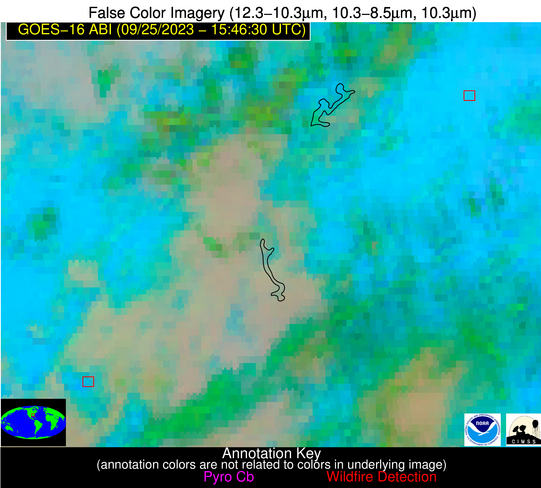
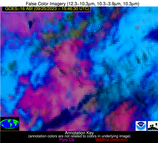
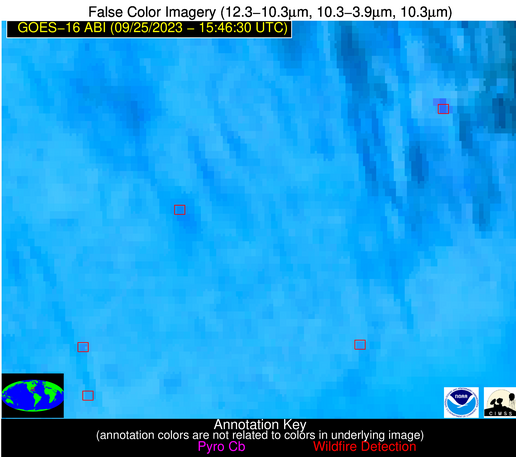
Wildfire Alert Report
| Date: | 2023-09-25 |
|---|---|
| Time: | 15:46:17 |
| Production Date and Time: | 2023-09-25 15:50:51 UTC |
| Primary Instrument: | GOES-16 ABI |
| Wmo Spacecraft Id: | 152 |
| Location/orbit: | GEO |
| L1 File: | OR_ABI-L1b-RadC-M6C14_G16_s20232681546174_e20232681548547_c20232681549029.nc |
| L1 File(s) - Temporal | OR_ABI-L1b-RadC-M6C14_G16_s20232681541174_e20232681543547_c20232681544041.nc |
| Number Of Thermal Anomaly Alerts: | 4 |
Possible Wildfire
| Basic Information | |
|---|---|
| State/Province(s) | AL |
| Country/Countries | USA |
| County/Locality(s) | Cleburne County, AL |
| NWS WFO | Birmingham AL |
| Identification Method | Enhanced Contextual (Clear) |
| Mean Object Date/Time | 2023-09-25 15:47:21UTC |
| Radiative Center (Lat, Lon): | 33.550000°, -85.700000° |
| Nearby Counties (meeting alert criteria): |
|
| Total Radiative Power Anomaly | n/a |
| Total Radiative Power | 12.42 MW |
| Map: | |
| Additional Information | |
| Alert Status | New Feature |
| Type of Event | Nominal Risk |
| Event Priority Ranking | 4 |
| Maximum Observed BT (3.9 um) | 305.01 K |
| Observed - Background BT (3.9 um) | 3.85 K |
| BT Anomaly (3.9 um) | 2.47 K |
| Maximum Observed - Clear RTM BT (3.9 um) | 8.45 K |
| Maximum Observed BTD (3.9-10/11/12 um) | 13.61 K |
| Observed - Background BTD (3.9-10/11/12 um) | 3.42 K |
| BTD Anomaly (3.9-10/11/12 um) | 2.62 K |
| Similar Pixel Count | 18 |
| BT Time Tendency (3.9 um) | 1.20 K |
| Image Interval | 5.00 minutes |
| Fraction of Surrounding LWIR Pixels that are Colder | 0.81 |
| Fraction of Surrounding Red Channel Pixels that are Brighter | 1.00 |
| Maximum Radiative Power | 12.42 MW |
| Maximum Radiative Power Uncertainty | 0.00 MW |
| Total Radiative Power Uncertainty | 0.00 MW |
| Mean Viewing Angle | 40.80° |
| Mean Solar Zenith Angle | 42.60° |
| Mean Glint Angle | 81.20° |
| Water Fraction | 0.00 |
| Total Pixel Area | 5.80 km2 |
| Latest Satellite Imagery: | |
| View all event imagery » | |
Possible Wildfire
| Basic Information | |
|---|---|
| State/Province(s) | AL |
| Country/Countries | USA |
| County/Locality(s) | Perry County, AL |
| NWS WFO | Birmingham AL |
| Identification Method | Enhanced Contextual (Cloud) |
| Mean Object Date/Time | 2023-09-25 15:47:21UTC |
| Radiative Center (Lat, Lon): | 32.510000°, -87.210000° |
| Nearby Counties (meeting alert criteria): |
|
| Total Radiative Power Anomaly | n/a |
| Total Radiative Power | 309.97 MW |
| Map: | |
| Additional Information | |
| Alert Status | New Feature |
| Type of Event | Nominal Risk |
| Event Priority Ranking | 4 |
| Maximum Observed BT (3.9 um) | 323.39 K |
| Observed - Background BT (3.9 um) | 20.35 K |
| BT Anomaly (3.9 um) | 14.28 K |
| Maximum Observed - Clear RTM BT (3.9 um) | 22.81 K |
| Maximum Observed BTD (3.9-10/11/12 um) | 42.39 K |
| Observed - Background BTD (3.9-10/11/12 um) | 20.68 K |
| BTD Anomaly (3.9-10/11/12 um) | 8.84 K |
| Similar Pixel Count | 0 |
| BT Time Tendency (3.9 um) | 14.30 K |
| Image Interval | 5.00 minutes |
| Fraction of Surrounding LWIR Pixels that are Colder | 0.92 |
| Fraction of Surrounding Red Channel Pixels that are Brighter | 0.85 |
| Maximum Radiative Power | 172.24 MW |
| Maximum Radiative Power Uncertainty | 0.00 MW |
| Total Radiative Power Uncertainty | 0.00 MW |
| Mean Viewing Angle | 40.20° |
| Mean Solar Zenith Angle | 42.70° |
| Mean Glint Angle | 80.80° |
| Water Fraction | 0.00 |
| Total Pixel Area | 17.20 km2 |
| Latest Satellite Imagery: | |
| View all event imagery » | |
Possible Wildfire
| Basic Information | |
|---|---|
| State/Province(s) | GA |
| Country/Countries | USA |
| County/Locality(s) | Coffee County, GA |
| NWS WFO | Jacksonville FL |
| Identification Method | Enhanced Contextual (Clear) |
| Mean Object Date/Time | 2023-09-25 15:47:22UTC |
| Radiative Center (Lat, Lon): | 31.750000°, -82.940000° |
| Nearby Counties (meeting alert criteria): |
|
| Total Radiative Power Anomaly | n/a |
| Total Radiative Power | 70.52 MW |
| Map: | |
| Additional Information | |
| Alert Status | New Feature |
| Type of Event | Nominal Risk |
| Event Priority Ranking | 4 |
| Maximum Observed BT (3.9 um) | 313.77 K |
| Observed - Background BT (3.9 um) | 11.65 K |
| BT Anomaly (3.9 um) | 13.81 K |
| Maximum Observed - Clear RTM BT (3.9 um) | 14.58 K |
| Maximum Observed BTD (3.9-10/11/12 um) | 19.21 K |
| Observed - Background BTD (3.9-10/11/12 um) | 10.37 K |
| BTD Anomaly (3.9-10/11/12 um) | 10.06 K |
| Similar Pixel Count | 5 |
| BT Time Tendency (3.9 um) | 3.20 K |
| Image Interval | 5.00 minutes |
| Fraction of Surrounding LWIR Pixels that are Colder | 0.99 |
| Fraction of Surrounding Red Channel Pixels that are Brighter | 1.00 |
| Maximum Radiative Power | 39.15 MW |
| Maximum Radiative Power Uncertainty | 0.00 MW |
| Total Radiative Power Uncertainty | 0.00 MW |
| Mean Viewing Angle | 38.10° |
| Mean Solar Zenith Angle | 39.70° |
| Mean Glint Angle | 75.50° |
| Water Fraction | 0.00 |
| Total Pixel Area | 10.90 km2 |
| Latest Satellite Imagery: | |
| View all event imagery » | |
Possible Wildfire
| Basic Information | |
|---|---|
| State/Province(s) | GA |
| Country/Countries | USA |
| County/Locality(s) | Grady County, GA |
| NWS WFO | Tallahassee FL |
| Identification Method | Enhanced Contextual (Clear) |
| Mean Object Date/Time | 2023-09-25 15:47:21UTC |
| Radiative Center (Lat, Lon): | 30.960000°, -84.310000° |
| Nearby Counties (meeting alert criteria): |
|
| Total Radiative Power Anomaly | n/a |
| Total Radiative Power | 20.66 MW |
| Map: | |
| Additional Information | |
| Alert Status | New Feature |
| Type of Event | Nominal Risk |
| Event Priority Ranking | 4 |
| Maximum Observed BT (3.9 um) | 311.02 K |
| Observed - Background BT (3.9 um) | 4.91 K |
| BT Anomaly (3.9 um) | 3.06 K |
| Maximum Observed - Clear RTM BT (3.9 um) | 10.74 K |
| Maximum Observed BTD (3.9-10/11/12 um) | 14.16 K |
| Observed - Background BTD (3.9-10/11/12 um) | 5.40 K |
| BTD Anomaly (3.9-10/11/12 um) | 5.10 K |
| Similar Pixel Count | 10 |
| BT Time Tendency (3.9 um) | 2.50 K |
| Image Interval | 5.00 minutes |
| Fraction of Surrounding LWIR Pixels that are Colder | 0.31 |
| Fraction of Surrounding Red Channel Pixels that are Brighter | 0.96 |
| Maximum Radiative Power | 20.66 MW |
| Maximum Radiative Power Uncertainty | 0.00 MW |
| Total Radiative Power Uncertainty | 0.00 MW |
| Mean Viewing Angle | 37.60° |
| Mean Solar Zenith Angle | 39.90° |
| Mean Glint Angle | 75.30° |
| Water Fraction | 0.00 |
| Total Pixel Area | 5.40 km2 |
| Latest Satellite Imagery: | |
| View all event imagery » | |


