Wildfire Alert Report
| Date: | 2023-09-22 |
|---|---|
| Time: | 20:01:17 |
| Production Date and Time: | 2023-09-22 20:05:51 UTC |
| Primary Instrument: | GOES-16 ABI |
| Wmo Spacecraft Id: | 152 |
| Location/orbit: | GEO |
| L1 File: | OR_ABI-L1b-RadC-M6C14_G16_s20232652001173_e20232652003546_c20232652004039.nc |
| L1 File(s) - Temporal | OR_ABI-L1b-RadC-M6C14_G16_s20232651956173_e20232651958546_c20232651959009.nc |
| Number Of Thermal Anomaly Alerts: | 4 |
Possible Wildfire
| Basic Information | |
|---|---|
| State/Province(s) | Unknown |
| Country/Countries | Canada |
| County/Locality(s) | Canada |
| NWS WFO | N/A |
| Identification Method | Enhanced Contextual (Clear) |
| Mean Object Date/Time | 2023-09-22 20:01:22UTC |
| Radiative Center (Lat, Lon): | 43.060000°, -79.430000° |
| Nearby Counties (meeting alert criteria): |
|
| Total Radiative Power Anomaly | n/a |
| Total Radiative Power | 10.66 MW |
| Map: | |
| Additional Information | |
| Alert Status | New Feature |
| Type of Event | Nominal Risk |
| Event Priority Ranking | 4 |
| Maximum Observed BT (3.9 um) | 299.40 K |
| Observed - Background BT (3.9 um) | 3.72 K |
| BT Anomaly (3.9 um) | 2.61 K |
| Maximum Observed - Clear RTM BT (3.9 um) | 7.36 K |
| Maximum Observed BTD (3.9-10/11/12 um) | 8.43 K |
| Observed - Background BTD (3.9-10/11/12 um) | 3.50 K |
| BTD Anomaly (3.9-10/11/12 um) | 5.44 K |
| Similar Pixel Count | 3 |
| BT Time Tendency (3.9 um) | 3.00 K |
| Image Interval | 5.00 minutes |
| Fraction of Surrounding LWIR Pixels that are Colder | 0.61 |
| Fraction of Surrounding Red Channel Pixels that are Brighter | 1.00 |
| Maximum Radiative Power | 10.66 MW |
| Maximum Radiative Power Uncertainty | 0.00 MW |
| Total Radiative Power Uncertainty | 0.00 MW |
| Mean Viewing Angle | 50.10° |
| Mean Solar Zenith Angle | 57.10° |
| Mean Glint Angle | 88.40° |
| Water Fraction | 0.00 |
| Total Pixel Area | 7.00 km2 |
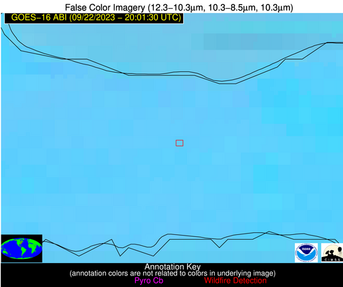
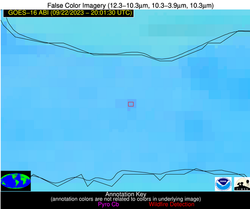
| Latest Satellite Imagery: | |
| View all event imagery » | |
Possible Wildfire
| Basic Information | |
|---|---|
| State/Province(s) | MO |
| Country/Countries | USA |
| County/Locality(s) | Butler County, MO |
| NWS WFO | Paducah KY |
| Identification Method | Enhanced Contextual (Cloud) |
| Mean Object Date/Time | 2023-09-22 20:01:51UTC |
| Radiative Center (Lat, Lon): | 36.580000°, -90.220000° |
| Nearby Counties (meeting alert criteria): |
|
| Total Radiative Power Anomaly | n/a |
| Total Radiative Power | 71.05 MW |
| Map: | |
| Additional Information | |
| Alert Status | New Feature |
| Type of Event | Nominal Risk |
| Event Priority Ranking | 4 |
| Maximum Observed BT (3.9 um) | 307.73 K |
| Observed - Background BT (3.9 um) | 8.33 K |
| BT Anomaly (3.9 um) | 4.65 K |
| Maximum Observed - Clear RTM BT (3.9 um) | 7.33 K |
| Maximum Observed BTD (3.9-10/11/12 um) | 30.89 K |
| Observed - Background BTD (3.9-10/11/12 um) | 8.63 K |
| BTD Anomaly (3.9-10/11/12 um) | 5.24 K |
| Similar Pixel Count | 0 |
| BT Time Tendency (3.9 um) | 4.80 K |
| Image Interval | 5.00 minutes |
| Fraction of Surrounding LWIR Pixels that are Colder | 0.43 |
| Fraction of Surrounding Red Channel Pixels that are Brighter | 0.79 |
| Maximum Radiative Power | 37.07 MW |
| Maximum Radiative Power Uncertainty | 0.00 MW |
| Total Radiative Power Uncertainty | 0.00 MW |
| Mean Viewing Angle | 45.50° |
| Mean Solar Zenith Angle | 46.60° |
| Mean Glint Angle | 71.80° |
| Water Fraction | 0.00 |
| Total Pixel Area | 12.80 km2 |
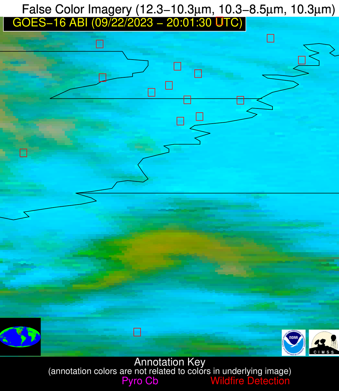
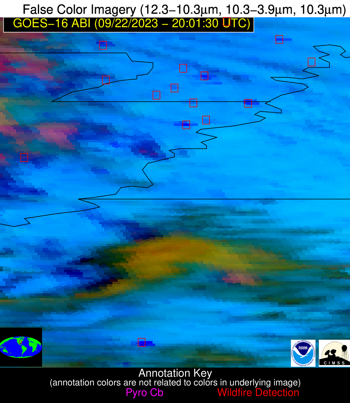
| Latest Satellite Imagery: | |
| View all event imagery » | |
Possible Wildfire
| Basic Information | |
|---|---|
| State/Province(s) | AR |
| Country/Countries | USA |
| County/Locality(s) | Mississippi County, AR |
| NWS WFO | Memphis TN |
| Identification Method | Enhanced Contextual (Cloud) |
| Mean Object Date/Time | 2023-09-22 20:02:21UTC |
| Radiative Center (Lat, Lon): | 35.980000°, -89.770000° |
| Nearby Counties (meeting alert criteria): |
|
| Total Radiative Power Anomaly | n/a |
| Total Radiative Power | 249.96 MW |
| Map: | |
| Additional Information | |
| Alert Status | New Feature |
| Type of Event | Nominal Risk |
| Event Priority Ranking | 4 |
| Maximum Observed BT (3.9 um) | 322.45 K |
| Observed - Background BT (3.9 um) | 16.63 K |
| BT Anomaly (3.9 um) | 6.87 K |
| Maximum Observed - Clear RTM BT (3.9 um) | 21.09 K |
| Maximum Observed BTD (3.9-10/11/12 um) | 32.21 K |
| Observed - Background BTD (3.9-10/11/12 um) | 16.19 K |
| BTD Anomaly (3.9-10/11/12 um) | 8.19 K |
| Similar Pixel Count | 0 |
| BT Time Tendency (3.9 um) | 11.90 K |
| Image Interval | 5.00 minutes |
| Fraction of Surrounding LWIR Pixels that are Colder | 0.76 |
| Fraction of Surrounding Red Channel Pixels that are Brighter | 0.98 |
| Maximum Radiative Power | 79.81 MW |
| Maximum Radiative Power Uncertainty | 0.00 MW |
| Total Radiative Power Uncertainty | 0.00 MW |
| Mean Viewing Angle | 44.70° |
| Mean Solar Zenith Angle | 46.40° |
| Mean Glint Angle | 70.90° |
| Water Fraction | 0.00 |
| Total Pixel Area | 25.20 km2 |
| Latest Satellite Imagery: | |
| View all event imagery » | |
Possible Wildfire
| Basic Information | |
|---|---|
| State/Province(s) | MS |
| Country/Countries | USA |
| County/Locality(s) | Carroll County, MS |
| NWS WFO | Jackson MS |
| Identification Method | Enhanced Contextual (Cloud) |
| Mean Object Date/Time | 2023-09-22 20:02:21UTC |
| Radiative Center (Lat, Lon): | 33.530000°, -90.100000° |
| Nearby Counties (meeting alert criteria): |
|
| Total Radiative Power Anomaly | n/a |
| Total Radiative Power | 623.07 MW |
| Map: | |
| Additional Information | |
| Alert Status | New Feature |
| Type of Event | Nominal Risk |
| Event Priority Ranking | 4 |
| Maximum Observed BT (3.9 um) | 342.57 K |
| Observed - Background BT (3.9 um) | 42.56 K |
| BT Anomaly (3.9 um) | 27.54 K |
| Maximum Observed - Clear RTM BT (3.9 um) | 43.09 K |
| Maximum Observed BTD (3.9-10/11/12 um) | 57.90 K |
| Observed - Background BTD (3.9-10/11/12 um) | 42.05 K |
| BTD Anomaly (3.9-10/11/12 um) | 20.94 K |
| Similar Pixel Count | 0 |
| BT Time Tendency (3.9 um) | 40.40 K |
| Image Interval | 5.00 minutes |
| Fraction of Surrounding LWIR Pixels that are Colder | 0.85 |
| Fraction of Surrounding Red Channel Pixels that are Brighter | 0.89 |
| Maximum Radiative Power | 292.56 MW |
| Maximum Radiative Power Uncertainty | 0.00 MW |
| Total Radiative Power Uncertainty | 0.00 MW |
| Mean Viewing Angle | 42.30° |
| Mean Solar Zenith Angle | 44.60° |
| Mean Glint Angle | 66.30° |
| Water Fraction | 0.00 |
| Total Pixel Area | 24.00 km2 |
| Latest Satellite Imagery: | |
| View all event imagery » | |


