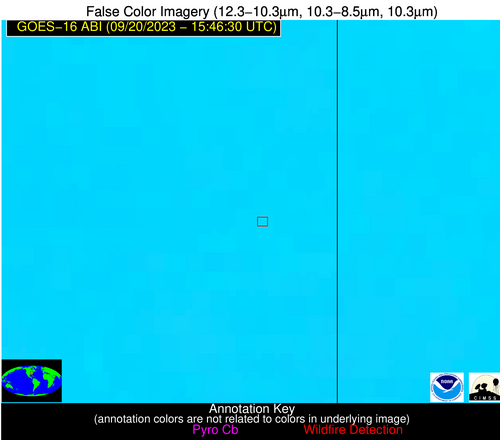
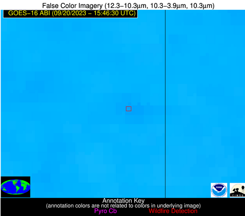
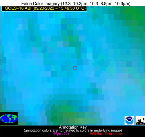
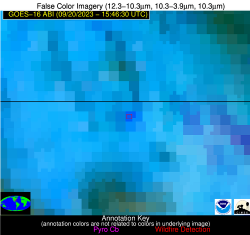
Wildfire Alert Report
| Date: | 2023-09-20 |
|---|---|
| Time: | 15:46:17 |
| Production Date and Time: | 2023-09-20 15:50:48 UTC |
| Primary Instrument: | GOES-16 ABI |
| Wmo Spacecraft Id: | 152 |
| Location/orbit: | GEO |
| L1 File: | OR_ABI-L1b-RadC-M6C14_G16_s20232631546172_e20232631548545_c20232631549029.nc |
| L1 File(s) - Temporal | OR_ABI-L1b-RadC-M6C14_G16_s20232631541172_e20232631543545_c20232631544042.nc |
| Number Of Thermal Anomaly Alerts: | 4 |
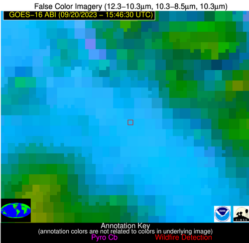
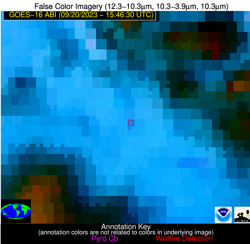
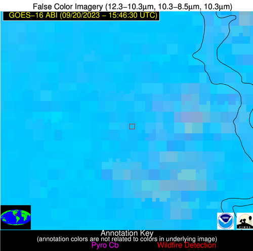
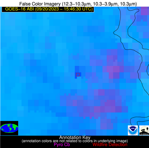
Possible Wildfire
| Basic Information | |
|---|---|
| State/Province(s) | IN |
| Country/Countries | USA |
| County/Locality(s) | Wayne County, IN |
| NWS WFO | Wilmington OH |
| Identification Method | Enhanced Contextual (Clear) |
| Mean Object Date/Time | 2023-09-20 15:46:51UTC |
| Radiative Center (Lat, Lon): | 39.840000°, -84.920000° |
| Nearby Counties (meeting alert criteria): |
|
| Total Radiative Power Anomaly | n/a |
| Total Radiative Power | 14.54 MW |
| Map: | |
| Additional Information | |
| Alert Status | New Feature |
| Type of Event | Likely an Urban Source |
| Event Priority Ranking | 5 |
| Maximum Observed BT (3.9 um) | 304.72 K |
| Observed - Background BT (3.9 um) | 4.49 K |
| BT Anomaly (3.9 um) | 9.36 K |
| Maximum Observed - Clear RTM BT (3.9 um) | 11.91 K |
| Maximum Observed BTD (3.9-10/11/12 um) | 12.78 K |
| Observed - Background BTD (3.9-10/11/12 um) | 2.76 K |
| BTD Anomaly (3.9-10/11/12 um) | 7.00 K |
| Similar Pixel Count | 25 |
| BT Time Tendency (3.9 um) | 0.30 K |
| Image Interval | 5.00 minutes |
| Fraction of Surrounding LWIR Pixels that are Colder | 1.00 |
| Fraction of Surrounding Red Channel Pixels that are Brighter | 1.00 |
| Maximum Radiative Power | 14.54 MW |
| Maximum Radiative Power Uncertainty | 0.00 MW |
| Total Radiative Power Uncertainty | 0.00 MW |
| Mean Viewing Angle | 47.40° |
| Mean Solar Zenith Angle | 45.50° |
| Mean Glint Angle | 90.30° |
| Water Fraction | 0.00 |
| Total Pixel Area | 6.60 km2 |
| Latest Satellite Imagery: | |
| View all event imagery » | |
Possible Wildfire
| Basic Information | |
|---|---|
| State/Province(s) | GA |
| Country/Countries | USA |
| County/Locality(s) | Murray County, GA |
| NWS WFO | Peachtree City GA |
| Identification Method | Enhanced Contextual (Cloud) |
| Mean Object Date/Time | 2023-09-20 15:47:21UTC |
| Radiative Center (Lat, Lon): | 34.950000°, -84.790000° |
| Nearby Counties (meeting alert criteria): |
|
| Total Radiative Power Anomaly | n/a |
| Total Radiative Power | 38.31 MW |
| Map: | |
| Additional Information | |
| Alert Status | New Feature |
| Type of Event | Nominal Risk |
| Event Priority Ranking | 4 |
| Maximum Observed BT (3.9 um) | 309.85 K |
| Observed - Background BT (3.9 um) | 12.78 K |
| BT Anomaly (3.9 um) | 10.12 K |
| Maximum Observed - Clear RTM BT (3.9 um) | 17.79 K |
| Maximum Observed BTD (3.9-10/11/12 um) | 23.08 K |
| Observed - Background BTD (3.9-10/11/12 um) | 12.32 K |
| BTD Anomaly (3.9-10/11/12 um) | 7.92 K |
| Similar Pixel Count | 0 |
| BT Time Tendency (3.9 um) | 6.50 K |
| Image Interval | 5.00 minutes |
| Fraction of Surrounding LWIR Pixels that are Colder | 0.70 |
| Fraction of Surrounding Red Channel Pixels that are Brighter | 0.39 |
| Maximum Radiative Power | 38.31 MW |
| Maximum Radiative Power Uncertainty | 0.00 MW |
| Total Radiative Power Uncertainty | 0.00 MW |
| Mean Viewing Angle | 42.10° |
| Mean Solar Zenith Angle | 41.70° |
| Mean Glint Angle | 81.20° |
| Water Fraction | 0.00 |
| Total Pixel Area | 5.90 km2 |
| Latest Satellite Imagery: | |
| View all event imagery » | |
Possible Wildfire
| Basic Information | |
|---|---|
| State/Province(s) | AL |
| Country/Countries | USA |
| County/Locality(s) | Dale County, AL |
| NWS WFO | Tallahassee FL |
| Identification Method | Enhanced Contextual (Clear) |
| Mean Object Date/Time | 2023-09-20 15:47:21UTC |
| Radiative Center (Lat, Lon): | 31.540000°, -85.710000° |
| Nearby Counties (meeting alert criteria): |
|
| Total Radiative Power Anomaly | n/a |
| Total Radiative Power | 19.76 MW |
| Map: | |
| Additional Information | |
| Alert Status | New Feature |
| Type of Event | Nominal Risk |
| Event Priority Ranking | 4 |
| Maximum Observed BT (3.9 um) | 308.76 K |
| Observed - Background BT (3.9 um) | 7.03 K |
| BT Anomaly (3.9 um) | 6.10 K |
| Maximum Observed - Clear RTM BT (3.9 um) | 13.75 K |
| Maximum Observed BTD (3.9-10/11/12 um) | 16.35 K |
| Observed - Background BTD (3.9-10/11/12 um) | 5.87 K |
| BTD Anomaly (3.9-10/11/12 um) | 4.92 K |
| Similar Pixel Count | 7 |
| BT Time Tendency (3.9 um) | 4.70 K |
| Image Interval | 5.00 minutes |
| Fraction of Surrounding LWIR Pixels that are Colder | 1.00 |
| Fraction of Surrounding Red Channel Pixels that are Brighter | 1.00 |
| Maximum Radiative Power | 19.76 MW |
| Maximum Radiative Power Uncertainty | 0.00 MW |
| Total Radiative Power Uncertainty | 0.00 MW |
| Mean Viewing Angle | 38.60° |
| Mean Solar Zenith Angle | 39.80° |
| Mean Glint Angle | 75.90° |
| Water Fraction | 0.00 |
| Total Pixel Area | 5.50 km2 |
| Latest Satellite Imagery: | |
| View all event imagery » | |
Possible Wildfire
| Basic Information | |
|---|---|
| State/Province(s) | FL |
| Country/Countries | USA |
| County/Locality(s) | Clay County, FL |
| NWS WFO | Jacksonville FL |
| Identification Method | Enhanced Contextual (Clear) |
| Mean Object Date/Time | 2023-09-20 15:47:52UTC |
| Radiative Center (Lat, Lon): | 29.880000°, -81.860000° |
| Nearby Counties (meeting alert criteria): |
|
| Total Radiative Power Anomaly | n/a |
| Total Radiative Power | 35.13 MW |
| Map: | |
| Additional Information | |
| Alert Status | New Feature |
| Type of Event | Nominal Risk |
| Event Priority Ranking | 4 |
| Maximum Observed BT (3.9 um) | 315.35 K |
| Observed - Background BT (3.9 um) | 9.26 K |
| BT Anomaly (3.9 um) | 7.24 K |
| Maximum Observed - Clear RTM BT (3.9 um) | 16.62 K |
| Maximum Observed BTD (3.9-10/11/12 um) | 23.12 K |
| Observed - Background BTD (3.9-10/11/12 um) | 9.67 K |
| BTD Anomaly (3.9-10/11/12 um) | 5.93 K |
| Similar Pixel Count | 6 |
| BT Time Tendency (3.9 um) | 10.30 K |
| Image Interval | 5.00 minutes |
| Fraction of Surrounding LWIR Pixels that are Colder | 0.57 |
| Fraction of Surrounding Red Channel Pixels that are Brighter | 0.90 |
| Maximum Radiative Power | 35.13 MW |
| Maximum Radiative Power Uncertainty | 0.00 MW |
| Total Radiative Power Uncertainty | 0.00 MW |
| Mean Viewing Angle | 35.70° |
| Mean Solar Zenith Angle | 36.30° |
| Mean Glint Angle | 69.30° |
| Water Fraction | 0.00 |
| Total Pixel Area | 5.30 km2 |
| Latest Satellite Imagery: | |
| View all event imagery » | |
