Wildfire Alert Report
| Date: | 2023-09-19 |
|---|---|
| Time: | 19:51:17 |
| Production Date and Time: | 2023-09-19 19:55:51 UTC |
| Primary Instrument: | GOES-16 ABI |
| Wmo Spacecraft Id: | 152 |
| Location/orbit: | GEO |
| L1 File: | OR_ABI-L1b-RadC-M6C14_G16_s20232621951171_e20232621953544_c20232621954008.nc |
| L1 File(s) - Temporal | OR_ABI-L1b-RadC-M6C14_G16_s20232621946171_e20232621948544_c20232621949043.nc |
| Number Of Thermal Anomaly Alerts: | 3 |
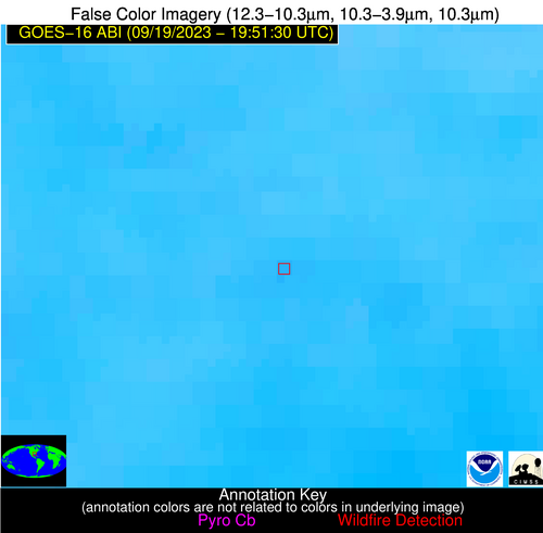
Possible Wildfire
| Basic Information | |
|---|---|
| State/Province(s) | KY |
| Country/Countries | USA |
| County/Locality(s) | McLean County, KY |
| NWS WFO | Paducah KY |
| Identification Method | Enhanced Contextual (Clear) |
| Mean Object Date/Time | 2023-09-19 19:51:51UTC |
| Radiative Center (Lat, Lon): | 37.600000°, -87.230000° |
| Nearby Counties (meeting alert criteria): |
|
| Total Radiative Power Anomaly | n/a |
| Total Radiative Power | 28.53 MW |
| Map: | |
| Additional Information | |
| Alert Status | New Feature |
| Type of Event | Nominal Risk |
| Event Priority Ranking | 4 |
| Maximum Observed BT (3.9 um) | 310.00 K |
| Observed - Background BT (3.9 um) | 7.55 K |
| BT Anomaly (3.9 um) | 5.02 K |
| Maximum Observed - Clear RTM BT (3.9 um) | 12.04 K |
| Maximum Observed BTD (3.9-10/11/12 um) | 15.85 K |
| Observed - Background BTD (3.9-10/11/12 um) | 7.59 K |
| BTD Anomaly (3.9-10/11/12 um) | 7.76 K |
| Similar Pixel Count | 3 |
| BT Time Tendency (3.9 um) | 7.70 K |
| Image Interval | 5.00 minutes |
| Fraction of Surrounding LWIR Pixels that are Colder | 0.46 |
| Fraction of Surrounding Red Channel Pixels that are Brighter | 1.00 |
| Maximum Radiative Power | 28.53 MW |
| Maximum Radiative Power Uncertainty | 0.00 MW |
| Total Radiative Power Uncertainty | 0.00 MW |
| Mean Viewing Angle | 45.60° |
| Mean Solar Zenith Angle | 46.40° |
| Mean Glint Angle | 74.00° |
| Water Fraction | 0.00 |
| Total Pixel Area | 6.40 km2 |
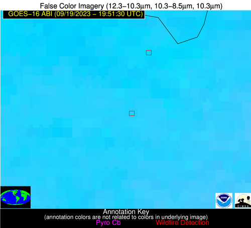
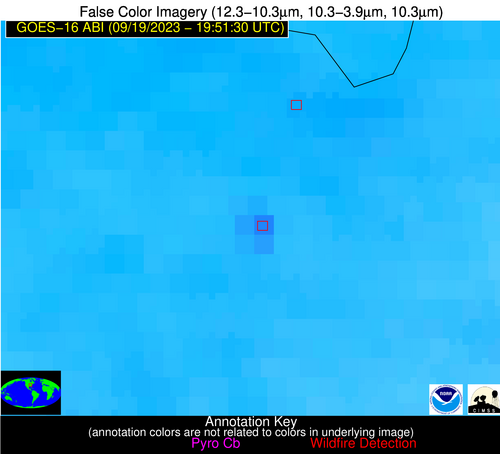
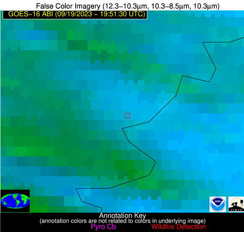
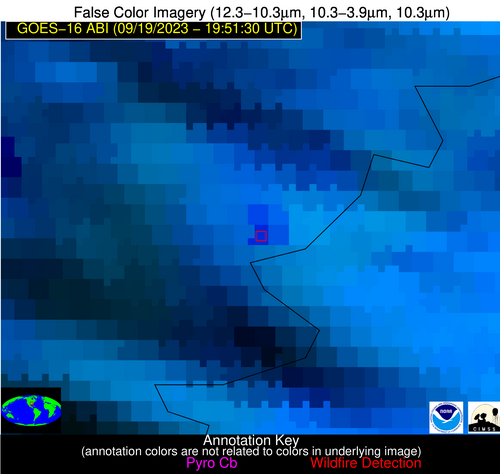
| Latest Satellite Imagery: | |
| View all event imagery » | |
Possible Wildfire
| Basic Information | |
|---|---|
| State/Province(s) | AR |
| Country/Countries | USA |
| County/Locality(s) | Phillips County, AR |
| NWS WFO | Memphis TN |
| Identification Method | Enhanced Contextual (Clear) |
| Mean Object Date/Time | 2023-09-19 19:52:21UTC |
| Radiative Center (Lat, Lon): | 34.180000°, -90.950000° |
| Nearby Counties (meeting alert criteria): |
|
| Total Radiative Power Anomaly | n/a |
| Total Radiative Power | 56.00 MW |
| Map: | |
| Additional Information | |
| Alert Status | New Feature |
| Type of Event | Nominal Risk |
| Event Priority Ranking | 4 |
| Maximum Observed BT (3.9 um) | 310.87 K |
| Observed - Background BT (3.9 um) | 12.03 K |
| BT Anomaly (3.9 um) | 6.13 K |
| Maximum Observed - Clear RTM BT (3.9 um) | 8.38 K |
| Maximum Observed BTD (3.9-10/11/12 um) | 32.03 K |
| Observed - Background BTD (3.9-10/11/12 um) | 11.58 K |
| BTD Anomaly (3.9-10/11/12 um) | 4.89 K |
| Similar Pixel Count | 15 |
| BT Time Tendency (3.9 um) | 2.70 K |
| Image Interval | 5.00 minutes |
| Fraction of Surrounding LWIR Pixels that are Colder | 0.84 |
| Fraction of Surrounding Red Channel Pixels that are Brighter | 1.00 |
| Maximum Radiative Power | 56.00 MW |
| Maximum Radiative Power Uncertainty | 0.00 MW |
| Total Radiative Power Uncertainty | 0.00 MW |
| Mean Viewing Angle | 43.40° |
| Mean Solar Zenith Angle | 41.90° |
| Mean Glint Angle | 66.40° |
| Water Fraction | 0.00 |
| Total Pixel Area | 6.10 km2 |
| Latest Satellite Imagery: | |
| View all event imagery » | |
Possible Wildfire
| Basic Information | |
|---|---|
| State/Province(s) | MS |
| Country/Countries | USA |
| County/Locality(s) | Walthall County, MS |
| NWS WFO | New Orleans LA |
| Identification Method | Enhanced Contextual (Clear) |
| Mean Object Date/Time | 2023-09-19 19:52:21UTC |
| Radiative Center (Lat, Lon): | 31.310000°, -90.140000° |
| Nearby Counties (meeting alert criteria): |
|
| Total Radiative Power Anomaly | n/a |
| Total Radiative Power | 6.38 MW |
| Map: | |
| Additional Information | |
| Alert Status | New Feature |
| Type of Event | Nominal Risk |
| Event Priority Ranking | 4 |
| Maximum Observed BT (3.9 um) | 311.91 K |
| Observed - Background BT (3.9 um) | 3.10 K |
| BT Anomaly (3.9 um) | 2.48 K |
| Maximum Observed - Clear RTM BT (3.9 um) | 7.71 K |
| Maximum Observed BTD (3.9-10/11/12 um) | 9.12 K |
| Observed - Background BTD (3.9-10/11/12 um) | 2.72 K |
| BTD Anomaly (3.9-10/11/12 um) | 3.66 K |
| Similar Pixel Count | 22 |
| BT Time Tendency (3.9 um) | 1.40 K |
| Image Interval | 5.00 minutes |
| Fraction of Surrounding LWIR Pixels that are Colder | 0.69 |
| Fraction of Surrounding Red Channel Pixels that are Brighter | 1.00 |
| Maximum Radiative Power | 6.38 MW |
| Maximum Radiative Power Uncertainty | 0.00 MW |
| Total Radiative Power Uncertainty | 0.00 MW |
| Mean Viewing Angle | 40.10° |
| Mean Solar Zenith Angle | 40.40° |
| Mean Glint Angle | 61.20° |
| Water Fraction | 0.00 |
| Total Pixel Area | 5.70 km2 |
| Latest Satellite Imagery: | |
| View all event imagery » | |
