Wildfire Alert Report
| Date: | 2023-09-18 |
|---|---|
| Time: | 17:56:17 |
| Production Date and Time: | 2023-09-18 18:00:51 UTC |
| Primary Instrument: | GOES-16 ABI |
| Wmo Spacecraft Id: | 152 |
| Location/orbit: | GEO |
| L1 File: | OR_ABI-L1b-RadC-M6C14_G16_s20232611756171_e20232611758544_c20232611759019.nc |
| L1 File(s) - Temporal | OR_ABI-L1b-RadC-M6C14_G16_s20232611751171_e20232611753544_c20232611754032.nc |
| Number Of Thermal Anomaly Alerts: | 3 |
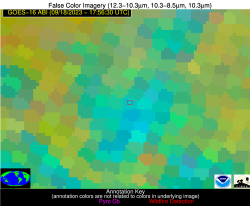
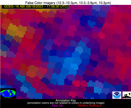
Possible Wildfire
| Basic Information | |
|---|---|
| State/Province(s) | ID |
| Country/Countries | USA |
| County/Locality(s) | Boise County, ID |
| NWS WFO | Boise ID |
| Identification Method | Enhanced Contextual (Cloud) |
| Mean Object Date/Time | 2023-09-18 17:56:49UTC |
| Radiative Center (Lat, Lon): | 44.080000°, -115.590000° |
| Nearby Counties (meeting alert criteria): |
|
| Total Radiative Power Anomaly | n/a |
| Total Radiative Power | 52.84 MW |
| Map: | |
| Additional Information | |
| Alert Status | New Feature |
| Type of Event | Nominal Risk |
| Event Priority Ranking | 4 |
| Maximum Observed BT (3.9 um) | 305.99 K |
| Observed - Background BT (3.9 um) | 6.97 K |
| BT Anomaly (3.9 um) | 14.30 K |
| Maximum Observed - Clear RTM BT (3.9 um) | 12.81 K |
| Maximum Observed BTD (3.9-10/11/12 um) | 30.77 K |
| Observed - Background BTD (3.9-10/11/12 um) | 6.45 K |
| BTD Anomaly (3.9-10/11/12 um) | 9.69 K |
| Similar Pixel Count | 0 |
| BT Time Tendency (3.9 um) | 7.00 K |
| Image Interval | 5.00 minutes |
| Fraction of Surrounding LWIR Pixels that are Colder | 0.97 |
| Fraction of Surrounding Red Channel Pixels that are Brighter | 1.00 |
| Maximum Radiative Power | 52.84 MW |
| Maximum Radiative Power Uncertainty | 0.00 MW |
| Total Radiative Power Uncertainty | 0.00 MW |
| Mean Viewing Angle | 65.10° |
| Mean Solar Zenith Angle | 47.40° |
| Mean Glint Angle | 111.00° |
| Water Fraction | 0.00 |
| Total Pixel Area | 14.90 km2 |
| Latest Satellite Imagery: | |
| View all event imagery » | |
Possible Wildfire
| Basic Information | |
|---|---|
| State/Province(s) | MO |
| Country/Countries | USA |
| County/Locality(s) | Stoddard County, MO |
| NWS WFO | Paducah KY |
| Identification Method | Enhanced Contextual (Cloud) |
| Mean Object Date/Time | 2023-09-18 17:56:51UTC |
| Radiative Center (Lat, Lon): | 36.750000°, -90.120000° |
| Nearby Counties (meeting alert criteria): |
|
| Total Radiative Power Anomaly | n/a |
| Total Radiative Power | 348.30 MW |
| Map: | |
| Additional Information | |
| Alert Status | New Feature |
| Type of Event | Nominal Risk |
| Event Priority Ranking | 4 |
| Maximum Observed BT (3.9 um) | 327.14 K |
| Observed - Background BT (3.9 um) | 21.68 K |
| BT Anomaly (3.9 um) | 8.67 K |
| Maximum Observed - Clear RTM BT (3.9 um) | 26.06 K |
| Maximum Observed BTD (3.9-10/11/12 um) | 35.61 K |
| Observed - Background BTD (3.9-10/11/12 um) | 21.70 K |
| BTD Anomaly (3.9-10/11/12 um) | 7.53 K |
| Similar Pixel Count | 0 |
| BT Time Tendency (3.9 um) | 12.10 K |
| Image Interval | 5.00 minutes |
| Fraction of Surrounding LWIR Pixels that are Colder | 0.52 |
| Fraction of Surrounding Red Channel Pixels that are Brighter | 0.19 |
| Maximum Radiative Power | 127.23 MW |
| Maximum Radiative Power Uncertainty | 0.00 MW |
| Total Radiative Power Uncertainty | 0.00 MW |
| Mean Viewing Angle | 45.70° |
| Mean Solar Zenith Angle | 34.60° |
| Mean Glint Angle | 78.10° |
| Water Fraction | 0.00 |
| Total Pixel Area | 25.70 km2 |
| Latest Satellite Imagery: | |
| View all event imagery » | |
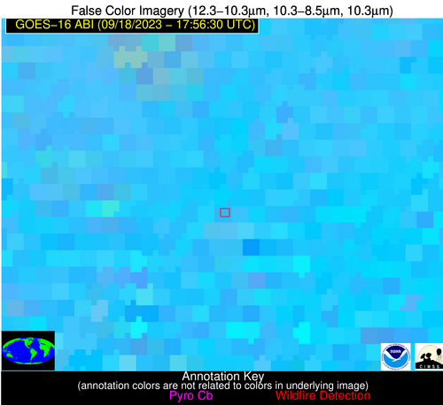
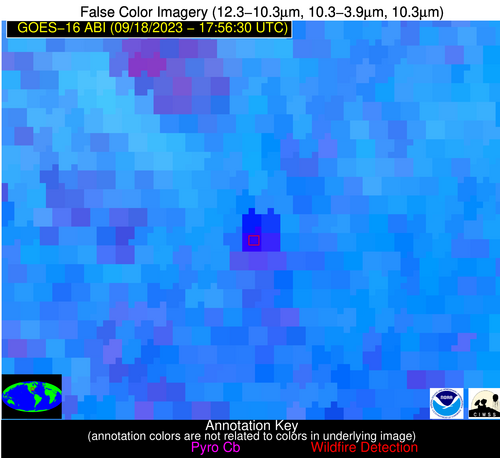
Possible Wildfire
| Basic Information | |
|---|---|
| State/Province(s) | TX |
| Country/Countries | USA |
| County/Locality(s) | Martin County, TX |
| NWS WFO | Midland/Odessa TX |
| Identification Method | Enhanced Contextual (Clear) |
| Mean Object Date/Time | 2023-09-18 17:57:19UTC |
| Radiative Center (Lat, Lon): | 32.200000°, -101.930000° |
| Nearby Counties (meeting alert criteria): |
|
| Total Radiative Power Anomaly | n/a |
| Total Radiative Power | 19.53 MW |
| Map: | |
| Additional Information | |
| Alert Status | New Feature |
| Type of Event | Oil/gas |
| Event Priority Ranking | 5 |
| Maximum Observed BT (3.9 um) | 318.57 K |
| Observed - Background BT (3.9 um) | 3.61 K |
| BT Anomaly (3.9 um) | 3.31 K |
| Maximum Observed - Clear RTM BT (3.9 um) | 13.23 K |
| Maximum Observed BTD (3.9-10/11/12 um) | 23.39 K |
| Observed - Background BTD (3.9-10/11/12 um) | 3.61 K |
| BTD Anomaly (3.9-10/11/12 um) | 4.64 K |
| Similar Pixel Count | 25 |
| BT Time Tendency (3.9 um) | 1.80 K |
| Image Interval | 5.00 minutes |
| Fraction of Surrounding LWIR Pixels that are Colder | 0.50 |
| Fraction of Surrounding Red Channel Pixels that are Brighter | 1.00 |
| Maximum Radiative Power | 19.53 MW |
| Maximum Radiative Power Uncertainty | 0.00 MW |
| Total Radiative Power Uncertainty | 0.00 MW |
| Mean Viewing Angle | 47.50° |
| Mean Solar Zenith Angle | 31.90° |
| Mean Glint Angle | 77.80° |
| Water Fraction | 0.00 |
| Total Pixel Area | 7.00 km2 |
| Latest Satellite Imagery: | |
| View all event imagery » | |
