Wildfire Alert Report
| Date: | 2023-09-01 |
|---|---|
| Time: | 16:51:17 |
| Production Date and Time: | 2023-09-01 16:55:50 UTC |
| Primary Instrument: | GOES-16 ABI |
| Wmo Spacecraft Id: | 152 |
| Location/orbit: | GEO |
| L1 File: | OR_ABI-L1b-RadC-M6C14_G16_s20232441651172_e20232441653545_c20232441654029.nc |
| L1 File(s) - Temporal | OR_ABI-L1b-RadC-M6C14_G16_s20232441646172_e20232441648545_c20232441649016.nc |
| Number Of Thermal Anomaly Alerts: | 4 |
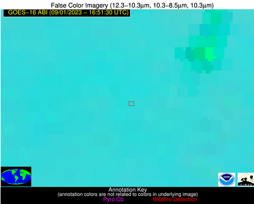
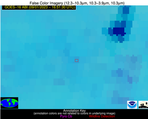
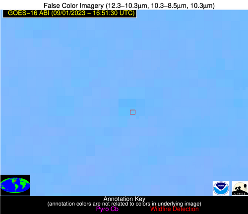
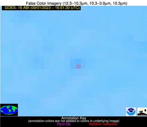
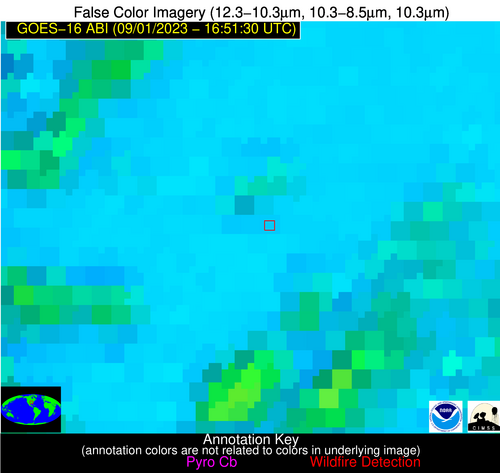
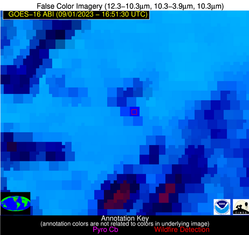
Possible Wildfire
| Basic Information | |
|---|---|
| State/Province(s) | Unknown |
| Country/Countries | Canada |
| County/Locality(s) | Canada |
| NWS WFO | N/A |
| Identification Method | Enhanced Contextual (Clear) |
| Mean Object Date/Time | 2023-09-01 16:51:23UTC |
| Radiative Center (Lat, Lon): | 48.630000°, -66.140000° |
| Nearby Counties (meeting alert criteria): |
|
| Total Radiative Power Anomaly | n/a |
| Total Radiative Power | 7.45 MW |
| Map: | |
| Additional Information | |
| Alert Status | New Feature |
| Type of Event | Nominal Risk |
| Event Priority Ranking | 4 |
| Maximum Observed BT (3.9 um) | 292.67 K |
| Observed - Background BT (3.9 um) | 2.69 K |
| BT Anomaly (3.9 um) | 3.52 K |
| Maximum Observed - Clear RTM BT (3.9 um) | 7.87 K |
| Maximum Observed BTD (3.9-10/11/12 um) | 11.14 K |
| Observed - Background BTD (3.9-10/11/12 um) | 3.12 K |
| BTD Anomaly (3.9-10/11/12 um) | 4.02 K |
| Similar Pixel Count | 25 |
| BT Time Tendency (3.9 um) | 1.10 K |
| Image Interval | 5.00 minutes |
| Fraction of Surrounding LWIR Pixels that are Colder | 0.19 |
| Fraction of Surrounding Red Channel Pixels that are Brighter | 0.99 |
| Maximum Radiative Power | 7.45 MW |
| Maximum Radiative Power Uncertainty | 0.00 MW |
| Total Radiative Power Uncertainty | 0.00 MW |
| Mean Viewing Angle | 56.80° |
| Mean Solar Zenith Angle | 40.30° |
| Mean Glint Angle | 97.10° |
| Water Fraction | 0.00 |
| Total Pixel Area | 8.40 km2 |
| Latest Satellite Imagery: | |
| View all event imagery » | |
Possible Wildfire
| Basic Information | |
|---|---|
| State/Province(s) | NY |
| Country/Countries | USA |
| County/Locality(s) | Otsego County, NY |
| NWS WFO | Binghamton NY |
| Identification Method | Enhanced Contextual (Clear) |
| Mean Object Date/Time | 2023-09-01 16:51:53UTC |
| Radiative Center (Lat, Lon): | 42.460000°, -75.060000° |
| Nearby Counties (meeting alert criteria): |
|
| Total Radiative Power Anomaly | n/a |
| Total Radiative Power | 16.01 MW |
| Map: | |
| Additional Information | |
| Alert Status | New Feature |
| Type of Event | Nominal Risk |
| Event Priority Ranking | 4 |
| Maximum Observed BT (3.9 um) | 301.24 K |
| Observed - Background BT (3.9 um) | 4.64 K |
| BT Anomaly (3.9 um) | 9.88 K |
| Maximum Observed - Clear RTM BT (3.9 um) | 9.55 K |
| Maximum Observed BTD (3.9-10/11/12 um) | 8.16 K |
| Observed - Background BTD (3.9-10/11/12 um) | 2.47 K |
| BTD Anomaly (3.9-10/11/12 um) | 9.93 K |
| Similar Pixel Count | 20 |
| BT Time Tendency (3.9 um) | 0.70 K |
| Image Interval | 5.00 minutes |
| Fraction of Surrounding LWIR Pixels that are Colder | 1.00 |
| Fraction of Surrounding Red Channel Pixels that are Brighter | 1.00 |
| Maximum Radiative Power | 16.01 MW |
| Maximum Radiative Power Uncertainty | 0.00 MW |
| Total Radiative Power Uncertainty | 0.00 MW |
| Mean Viewing Angle | 49.30° |
| Mean Solar Zenith Angle | 33.80° |
| Mean Glint Angle | 83.00° |
| Water Fraction | 0.00 |
| Total Pixel Area | 6.80 km2 |
| Latest Satellite Imagery: | |
| View all event imagery » | |
Possible Wildfire
| Basic Information | |
|---|---|
| State/Province(s) | PA |
| Country/Countries | USA |
| County/Locality(s) | Elk County, PA |
| NWS WFO | State College PA |
| Identification Method | Enhanced Contextual (Clear) |
| Mean Object Date/Time | 2023-09-01 16:51:52UTC |
| Radiative Center (Lat, Lon): | 41.410000°, -78.540000° |
| Nearby Counties (meeting alert criteria): |
|
| Total Radiative Power Anomaly | n/a |
| Total Radiative Power | 17.05 MW |
| Map: | |
| Additional Information | |
| Alert Status | New Feature |
| Type of Event | Nominal Risk |
| Event Priority Ranking | 4 |
| Maximum Observed BT (3.9 um) | 301.65 K |
| Observed - Background BT (3.9 um) | 4.59 K |
| BT Anomaly (3.9 um) | 8.57 K |
| Maximum Observed - Clear RTM BT (3.9 um) | 10.57 K |
| Maximum Observed BTD (3.9-10/11/12 um) | 7.21 K |
| Observed - Background BTD (3.9-10/11/12 um) | 2.50 K |
| BTD Anomaly (3.9-10/11/12 um) | 8.26 K |
| Similar Pixel Count | 16 |
| BT Time Tendency (3.9 um) | 0.90 K |
| Image Interval | 5.00 minutes |
| Fraction of Surrounding LWIR Pixels that are Colder | 1.00 |
| Fraction of Surrounding Red Channel Pixels that are Brighter | 1.00 |
| Maximum Radiative Power | 14.49 MW |
| Maximum Radiative Power Uncertainty | 0.00 MW |
| Total Radiative Power Uncertainty | 0.00 MW |
| Mean Viewing Angle | 48.20° |
| Mean Solar Zenith Angle | 33.10° |
| Mean Glint Angle | 81.20° |
| Water Fraction | 0.00 |
| Total Pixel Area | 19.90 km2 |
| Latest Satellite Imagery: | |
| View all event imagery » | |
Possible Wildfire
| Basic Information | |
|---|---|
| State/Province(s) | AR |
| Country/Countries | USA |
| County/Locality(s) | Jefferson County, AR |
| NWS WFO | Little Rock AR |
| Identification Method | Enhanced Contextual (Cloud) |
| Mean Object Date/Time | 2023-09-01 16:52:20UTC |
| Radiative Center (Lat, Lon): | 34.400000°, -91.800000° |
| Nearby Counties (meeting alert criteria): |
|
| Total Radiative Power Anomaly | n/a |
| Total Radiative Power | 224.31 MW |
| Map: | |
| Additional Information | |
| Alert Status | New Feature |
| Type of Event | Nominal Risk |
| Event Priority Ranking | 4 |
| Maximum Observed BT (3.9 um) | 328.99 K |
| Observed - Background BT (3.9 um) | 21.91 K |
| BT Anomaly (3.9 um) | 11.46 K |
| Maximum Observed - Clear RTM BT (3.9 um) | 27.14 K |
| Maximum Observed BTD (3.9-10/11/12 um) | 35.97 K |
| Observed - Background BTD (3.9-10/11/12 um) | 21.88 K |
| BTD Anomaly (3.9-10/11/12 um) | 15.36 K |
| Similar Pixel Count | 0 |
| BT Time Tendency (3.9 um) | 22.80 K |
| Image Interval | 5.00 minutes |
| Fraction of Surrounding LWIR Pixels that are Colder | 0.75 |
| Fraction of Surrounding Red Channel Pixels that are Brighter | 0.49 |
| Maximum Radiative Power | 116.43 MW |
| Maximum Radiative Power Uncertainty | 0.00 MW |
| Total Radiative Power Uncertainty | 0.00 MW |
| Mean Viewing Angle | 43.90° |
| Mean Solar Zenith Angle | 31.10° |
| Mean Glint Angle | 74.60° |
| Water Fraction | 0.00 |
| Total Pixel Area | 18.70 km2 |
| Latest Satellite Imagery: | |
| View all event imagery » | |
