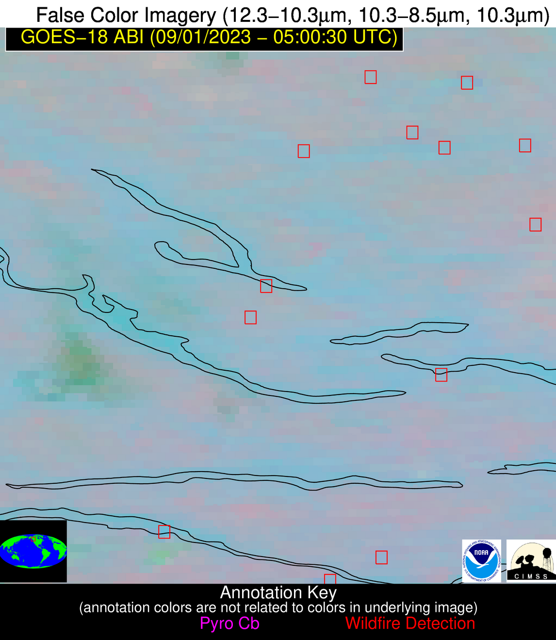
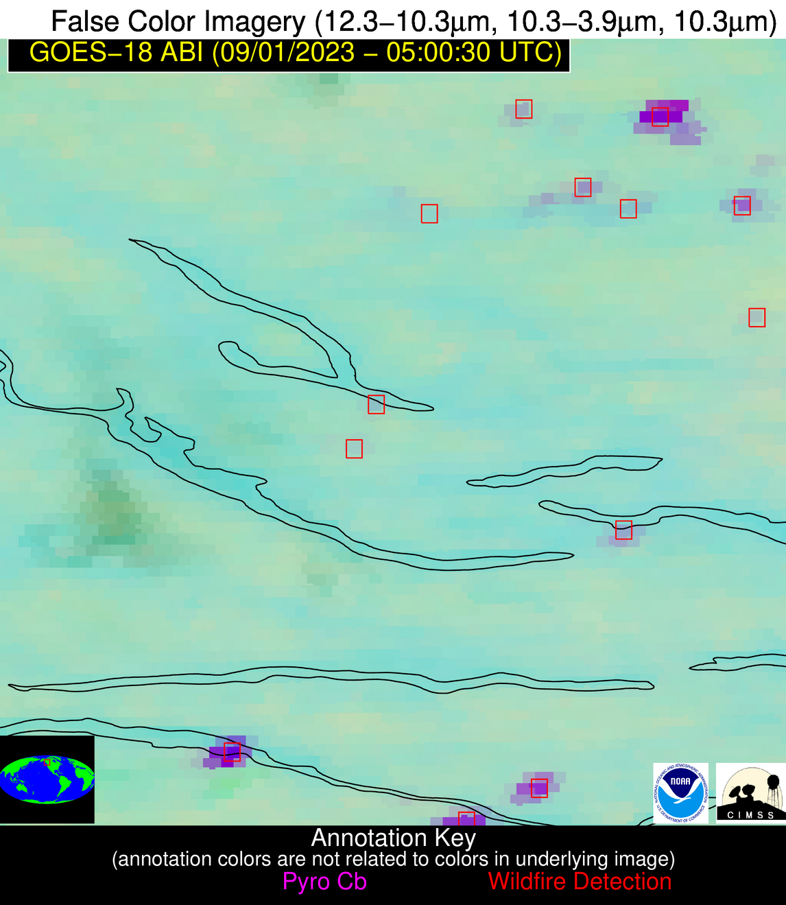
Wildfire Alert Report
| Date: | 2023-09-01 |
|---|---|
| Time: | 05:00:21 |
| Production Date and Time: | 2023-09-01 05:11:42 UTC |
| Primary Instrument: | GOES-18 ABI |
| Wmo Spacecraft Id: | 665 |
| Location/orbit: | GEO |
| L1 File: | OR_ABI-L1b-RadF-M6C14_G18_s20232440500219_e20232440509527_c20232440509582.nc |
| L1 File(s) - Temporal | OR_ABI-L1b-RadF-M6C14_G18_s20232440450219_e20232440459527_c20232440459574.nc |
| Number Of Thermal Anomaly Alerts: | 3 |
Possible Wildfire
| Basic Information | |
|---|---|
| State/Province(s) | Unknown |
| Country/Countries | Canada |
| County/Locality(s) | Canada |
| NWS WFO | N/A |
| Identification Method | Enhanced Contextual (Cloud) |
| Mean Object Date/Time | 2023-09-01 05:00:40UTC |
| Radiative Center (Lat, Lon): | 56.220000°, -125.270000° |
| Nearby Counties (meeting alert criteria): |
|
| Total Radiative Power Anomaly | n/a |
| Total Radiative Power | 57.49 MW |
| Map: | |
| Additional Information | |
| Alert Status | New Feature |
| Type of Event | Nominal Risk |
| Event Priority Ranking | 4 |
| Maximum Observed BT (3.9 um) | 286.88 K |
| Observed - Background BT (3.9 um) | 7.13 K |
| BT Anomaly (3.9 um) | 5.22 K |
| Maximum Observed - Clear RTM BT (3.9 um) | 7.83 K |
| Maximum Observed BTD (3.9-10/11/12 um) | 7.60 K |
| Observed - Background BTD (3.9-10/11/12 um) | 6.73 K |
| BTD Anomaly (3.9-10/11/12 um) | 7.76 K |
| Similar Pixel Count | 0 |
| BT Time Tendency (3.9 um) | 0.10 K |
| Image Interval | 10.00 minutes |
| Fraction of Surrounding LWIR Pixels that are Colder | 0.70 |
| Fraction of Surrounding Red Channel Pixels that are Brighter | 1.00 |
| Maximum Radiative Power | 19.68 MW |
| Maximum Radiative Power Uncertainty | 0.00 MW |
| Total Radiative Power Uncertainty | 0.00 MW |
| Mean Viewing Angle | 65.30° |
| Mean Solar Zenith Angle | 103.10° |
| Mean Glint Angle | 74.00° |
| Water Fraction | 0.00 |
| Total Pixel Area | 69.40 km2 |
| Latest Satellite Imagery: | |
| View all event imagery » | |
Possible Wildfire
| Basic Information | |
|---|---|
| State/Province(s) | Unknown |
| Country/Countries | Canada |
| County/Locality(s) | Canada |
| NWS WFO | N/A |
| Identification Method | Enhanced Contextual (Cloud) |
| Mean Object Date/Time | 2023-09-01 05:00:40UTC |
| Radiative Center (Lat, Lon): | 54.590000°, -125.040000° |
| Nearby Counties (meeting alert criteria): |
|
| Total Radiative Power Anomaly | n/a |
| Total Radiative Power | 85.90 MW |
| Map: | |
| Additional Information | |
| Alert Status | New Feature |
| Type of Event | Nominal Risk |
| Event Priority Ranking | 4 |
| Maximum Observed BT (3.9 um) | 290.04 K |
| Observed - Background BT (3.9 um) | 7.35 K |
| BT Anomaly (3.9 um) | 5.48 K |
| Maximum Observed - Clear RTM BT (3.9 um) | 9.96 K |
| Maximum Observed BTD (3.9-10/11/12 um) | 8.22 K |
| Observed - Background BTD (3.9-10/11/12 um) | 7.01 K |
| BTD Anomaly (3.9-10/11/12 um) | 14.55 K |
| Similar Pixel Count | 0 |
| BT Time Tendency (3.9 um) | 0.20 K |
| Image Interval | 10.00 minutes |
| Fraction of Surrounding LWIR Pixels that are Colder | 0.58 |
| Fraction of Surrounding Red Channel Pixels that are Brighter | 1.00 |
| Maximum Radiative Power | 22.75 MW |
| Maximum Radiative Power Uncertainty | 0.00 MW |
| Total Radiative Power Uncertainty | 0.00 MW |
| Mean Viewing Angle | 63.60° |
| Mean Solar Zenith Angle | 104.20° |
| Mean Glint Angle | 75.80° |
| Water Fraction | 0.00 |
| Total Pixel Area | 64.80 km2 |
| Latest Satellite Imagery: | |
| View all event imagery » | |
Possible Wildfire
| Basic Information | |
|---|---|
| State/Province(s) | Unknown |
| Country/Countries | Canada |
| County/Locality(s) | Canada |
| NWS WFO | N/A |
| Identification Method | Enhanced Contextual (Bias) |
| Mean Object Date/Time | 2023-09-01 05:00:40UTC |
| Radiative Center (Lat, Lon): | 53.740000°, -125.990000° |
| Nearby Counties (meeting alert criteria): |
|
| Total Radiative Power Anomaly | n/a |
| Total Radiative Power | 873.03 MW |
| Map: | |
| Additional Information | |
| Alert Status | New Feature |
| Type of Event | Nominal Risk |
| Event Priority Ranking | 4 |
| Maximum Observed BT (3.9 um) | 328.66 K |
| Observed - Background BT (3.9 um) | 45.76 K |
| BT Anomaly (3.9 um) | 153.79 K |
| Maximum Observed - Clear RTM BT (3.9 um) | 46.19 K |
| Maximum Observed BTD (3.9-10/11/12 um) | 45.33 K |
| Observed - Background BTD (3.9-10/11/12 um) | 43.63 K |
| BTD Anomaly (3.9-10/11/12 um) | 114.69 K |
| Similar Pixel Count | 0 |
| BT Time Tendency (3.9 um) | -6.50 K |
| Image Interval | 10.00 minutes |
| Fraction of Surrounding LWIR Pixels that are Colder | 1.00 |
| Fraction of Surrounding Red Channel Pixels that are Brighter | 1.00 |
| Maximum Radiative Power | 306.74 MW |
| Maximum Radiative Power Uncertainty | 0.00 MW |
| Total Radiative Power Uncertainty | 0.00 MW |
| Mean Viewing Angle | 62.60° |
| Mean Solar Zenith Angle | 104.30° |
| Mean Glint Angle | 76.30° |
| Water Fraction | 0.10 |
| Total Pixel Area | 113.70 km2 |
| Latest Satellite Imagery: | |
| View all event imagery » | |


