Wildfire Alert Report
| Date: | 2023-08-24 |
|---|---|
| Time: | 20:41:17 |
| Production Date and Time: | 2023-08-24 20:45:50 UTC |
| Primary Instrument: | GOES-16 ABI |
| Wmo Spacecraft Id: | 152 |
| Location/orbit: | GEO |
| L1 File: | OR_ABI-L1b-RadC-M6C14_G16_s20232362041171_e20232362043544_c20232362044036.nc |
| L1 File(s) - Temporal | OR_ABI-L1b-RadC-M6C14_G16_s20232362036171_e20232362038544_c20232362039034.nc |
| Number Of Thermal Anomaly Alerts: | 5 |
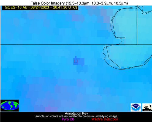
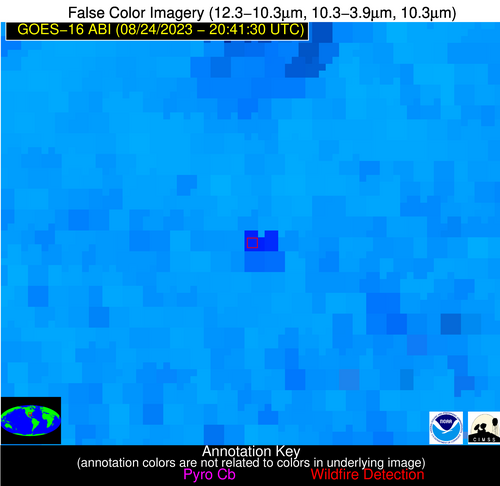
Possible Wildfire
| Basic Information | |
|---|---|
| State/Province(s) | MN |
| Country/Countries | USA |
| County/Locality(s) | Roseau County, MN |
| NWS WFO | Grand Forks ND |
| Identification Method | Enhanced Contextual (Clear) |
| Mean Object Date/Time | 2023-08-24 20:41:21UTC |
| Radiative Center (Lat, Lon): | 48.920000°, -95.480000° |
| Nearby Counties (meeting alert criteria): |
|
| Total Radiative Power Anomaly | n/a |
| Total Radiative Power | 56.36 MW |
| Map: | |
| Additional Information | |
| Alert Status | New Feature |
| Type of Event | Nominal Risk |
| Event Priority Ranking | 4 |
| Maximum Observed BT (3.9 um) | 305.64 K |
| Observed - Background BT (3.9 um) | 7.28 K |
| BT Anomaly (3.9 um) | 6.13 K |
| Maximum Observed - Clear RTM BT (3.9 um) | 9.37 K |
| Maximum Observed BTD (3.9-10/11/12 um) | 15.72 K |
| Observed - Background BTD (3.9-10/11/12 um) | 6.34 K |
| BTD Anomaly (3.9-10/11/12 um) | 5.63 K |
| Similar Pixel Count | 3 |
| BT Time Tendency (3.9 um) | 3.20 K |
| Image Interval | 5.00 minutes |
| Fraction of Surrounding LWIR Pixels that are Colder | 0.92 |
| Fraction of Surrounding Red Channel Pixels that are Brighter | 0.70 |
| Maximum Radiative Power | 38.00 MW |
| Maximum Radiative Power Uncertainty | 0.00 MW |
| Total Radiative Power Uncertainty | 0.00 MW |
| Mean Viewing Angle | 59.80° |
| Mean Solar Zenith Angle | 46.90° |
| Mean Glint Angle | 79.50° |
| Water Fraction | 0.00 |
| Total Pixel Area | 19.70 km2 |
| Latest Satellite Imagery: | |
| View all event imagery » | |
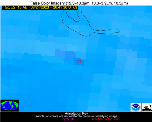
Possible Wildfire
| Basic Information | |
|---|---|
| State/Province(s) | WA |
| Country/Countries | USA |
| County/Locality(s) | Adams County, WA |
| NWS WFO | Spokane WA |
| Identification Method | Enhanced Contextual (Clear) |
| Mean Object Date/Time | 2023-08-24 20:41:19UTC |
| Radiative Center (Lat, Lon): | 46.860000°, -119.350000° |
| Nearby Counties (meeting alert criteria): |
|
| Total Radiative Power Anomaly | n/a |
| Total Radiative Power | 21.00 MW |
| Map: | |
| Additional Information | |
| Alert Status | New Feature |
| Type of Event | Nominal Risk |
| Event Priority Ranking | 4 |
| Maximum Observed BT (3.9 um) | 309.63 K |
| Observed - Background BT (3.9 um) | 3.64 K |
| BT Anomaly (3.9 um) | 1.44 K |
| Maximum Observed - Clear RTM BT (3.9 um) | 7.74 K |
| Maximum Observed BTD (3.9-10/11/12 um) | 14.51 K |
| Observed - Background BTD (3.9-10/11/12 um) | 3.17 K |
| BTD Anomaly (3.9-10/11/12 um) | 2.41 K |
| Similar Pixel Count | 17 |
| BT Time Tendency (3.9 um) | 2.10 K |
| Image Interval | 5.00 minutes |
| Fraction of Surrounding LWIR Pixels that are Colder | 0.72 |
| Fraction of Surrounding Red Channel Pixels that are Brighter | 1.00 |
| Maximum Radiative Power | 21.00 MW |
| Maximum Radiative Power Uncertainty | 0.00 MW |
| Total Radiative Power Uncertainty | 0.00 MW |
| Mean Viewing Angle | 69.20° |
| Mean Solar Zenith Angle | 36.40° |
| Mean Glint Angle | 84.30° |
| Water Fraction | 0.00 |
| Total Pixel Area | 19.90 km2 |
| Latest Satellite Imagery: | |
| View all event imagery » | |
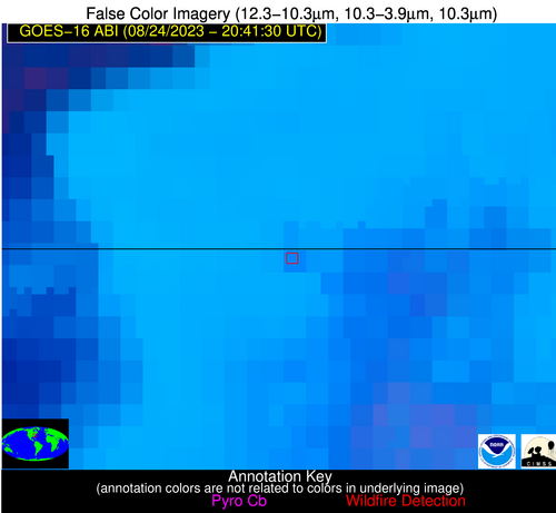
Possible Wildfire
| Basic Information | |
|---|---|
| State/Province(s) | NC |
| Country/Countries | USA |
| County/Locality(s) | Northampton County, NC |
| NWS WFO | Wakefield VA |
| Identification Method | Enhanced Contextual (Clear) |
| Mean Object Date/Time | 2023-08-24 20:41:52UTC |
| Radiative Center (Lat, Lon): | 36.540000°, -77.270000° |
| Nearby Counties (meeting alert criteria): |
|
| Total Radiative Power Anomaly | n/a |
| Total Radiative Power | 17.36 MW |
| Map: | |
| Additional Information | |
| Alert Status | New Feature |
| Type of Event | Nominal Risk |
| Event Priority Ranking | 4 |
| Maximum Observed BT (3.9 um) | 307.27 K |
| Observed - Background BT (3.9 um) | 5.91 K |
| BT Anomaly (3.9 um) | 5.12 K |
| Maximum Observed - Clear RTM BT (3.9 um) | 7.96 K |
| Maximum Observed BTD (3.9-10/11/12 um) | 18.20 K |
| Observed - Background BTD (3.9-10/11/12 um) | 5.29 K |
| BTD Anomaly (3.9-10/11/12 um) | 4.26 K |
| Similar Pixel Count | 24 |
| BT Time Tendency (3.9 um) | 0.40 K |
| Image Interval | 5.00 minutes |
| Fraction of Surrounding LWIR Pixels that are Colder | 0.96 |
| Fraction of Surrounding Red Channel Pixels that are Brighter | 1.00 |
| Maximum Radiative Power | 17.36 MW |
| Maximum Radiative Power Uncertainty | 0.00 MW |
| Total Radiative Power Uncertainty | 0.00 MW |
| Mean Viewing Angle | 42.60° |
| Mean Solar Zenith Angle | 53.20° |
| Mean Glint Angle | 70.10° |
| Water Fraction | 0.00 |
| Total Pixel Area | 5.90 km2 |
| Latest Satellite Imagery: | |
| View all event imagery » | |
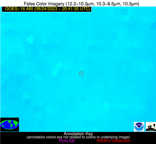
Possible Wildfire
| Basic Information | |
|---|---|
| State/Province(s) | OK |
| Country/Countries | USA |
| County/Locality(s) | Kay County, OK |
| NWS WFO | Norman OK |
| Identification Method | Enhanced Contextual (Clear) |
| Mean Object Date/Time | 2023-08-24 20:41:50UTC |
| Radiative Center (Lat, Lon): | 36.600000°, -97.320000° |
| Nearby Counties (meeting alert criteria): |
|
| Total Radiative Power Anomaly | n/a |
| Total Radiative Power | 22.09 MW |
| Map: | |
| Additional Information | |
| Alert Status | New Feature |
| Type of Event | Nominal Risk |
| Event Priority Ranking | 4 |
| Maximum Observed BT (3.9 um) | 318.45 K |
| Observed - Background BT (3.9 um) | 4.27 K |
| BT Anomaly (3.9 um) | 3.29 K |
| Maximum Observed - Clear RTM BT (3.9 um) | 8.77 K |
| Maximum Observed BTD (3.9-10/11/12 um) | 19.83 K |
| Observed - Background BTD (3.9-10/11/12 um) | 3.58 K |
| BTD Anomaly (3.9-10/11/12 um) | 2.90 K |
| Similar Pixel Count | 25 |
| BT Time Tendency (3.9 um) | 2.80 K |
| Image Interval | 5.00 minutes |
| Fraction of Surrounding LWIR Pixels that are Colder | 0.87 |
| Fraction of Surrounding Red Channel Pixels that are Brighter | 0.99 |
| Maximum Radiative Power | 22.09 MW |
| Maximum Radiative Power Uncertainty | 0.00 MW |
| Total Radiative Power Uncertainty | 0.00 MW |
| Mean Viewing Angle | 48.70° |
| Mean Solar Zenith Angle | 38.40° |
| Mean Glint Angle | 57.80° |
| Water Fraction | 0.00 |
| Total Pixel Area | 7.10 km2 |
| Latest Satellite Imagery: | |
| View all event imagery » | |
Possible Wildfire
| Basic Information | |
|---|---|
| State/Province(s) | MS |
| Country/Countries | USA |
| County/Locality(s) | Marion County, MS |
| NWS WFO | Jackson MS |
| Identification Method | Enhanced Contextual (Cloud) |
| Mean Object Date/Time | 2023-08-24 20:42:21UTC |
| Radiative Center (Lat, Lon): | 31.350000°, -89.990000° |
| Nearby Counties (meeting alert criteria): |
|
| Total Radiative Power Anomaly | n/a |
| Total Radiative Power | 190.33 MW |
| Map: | |
| Additional Information | |
| Alert Status | New Feature |
| Type of Event | Nominal Risk and Red Flag Warning |
| Event Priority Ranking | 1 |
| Maximum Observed BT (3.9 um) | 327.60 K |
| Observed - Background BT (3.9 um) | 16.96 K |
| BT Anomaly (3.9 um) | 17.02 K |
| Maximum Observed - Clear RTM BT (3.9 um) | 20.26 K |
| Maximum Observed BTD (3.9-10/11/12 um) | 32.02 K |
| Observed - Background BTD (3.9-10/11/12 um) | 17.01 K |
| BTD Anomaly (3.9-10/11/12 um) | 16.05 K |
| Similar Pixel Count | 0 |
| BT Time Tendency (3.9 um) | 18.70 K |
| Image Interval | 5.00 minutes |
| Fraction of Surrounding LWIR Pixels that are Colder | 0.60 |
| Fraction of Surrounding Red Channel Pixels that are Brighter | 1.00 |
| Maximum Radiative Power | 101.44 MW |
| Maximum Radiative Power Uncertainty | 0.00 MW |
| Total Radiative Power Uncertainty | 0.00 MW |
| Mean Viewing Angle | 40.10° |
| Mean Solar Zenith Angle | 41.60° |
| Mean Glint Angle | 51.10° |
| Water Fraction | 0.00 |
| Total Pixel Area | 11.50 km2 |
| Latest Satellite Imagery: | |
| View all event imagery » | |

